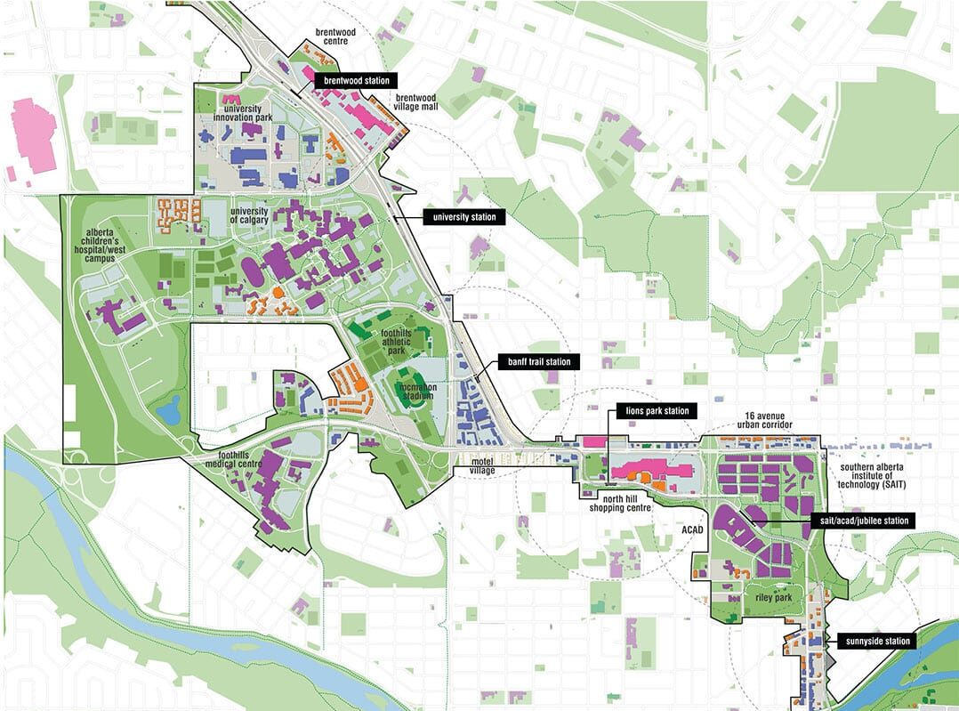
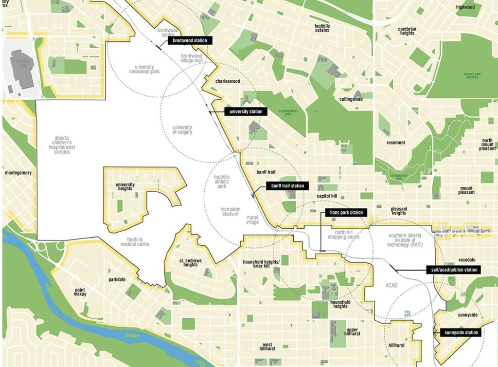
Calgary Northwest LRT Corridor Station Area Planning
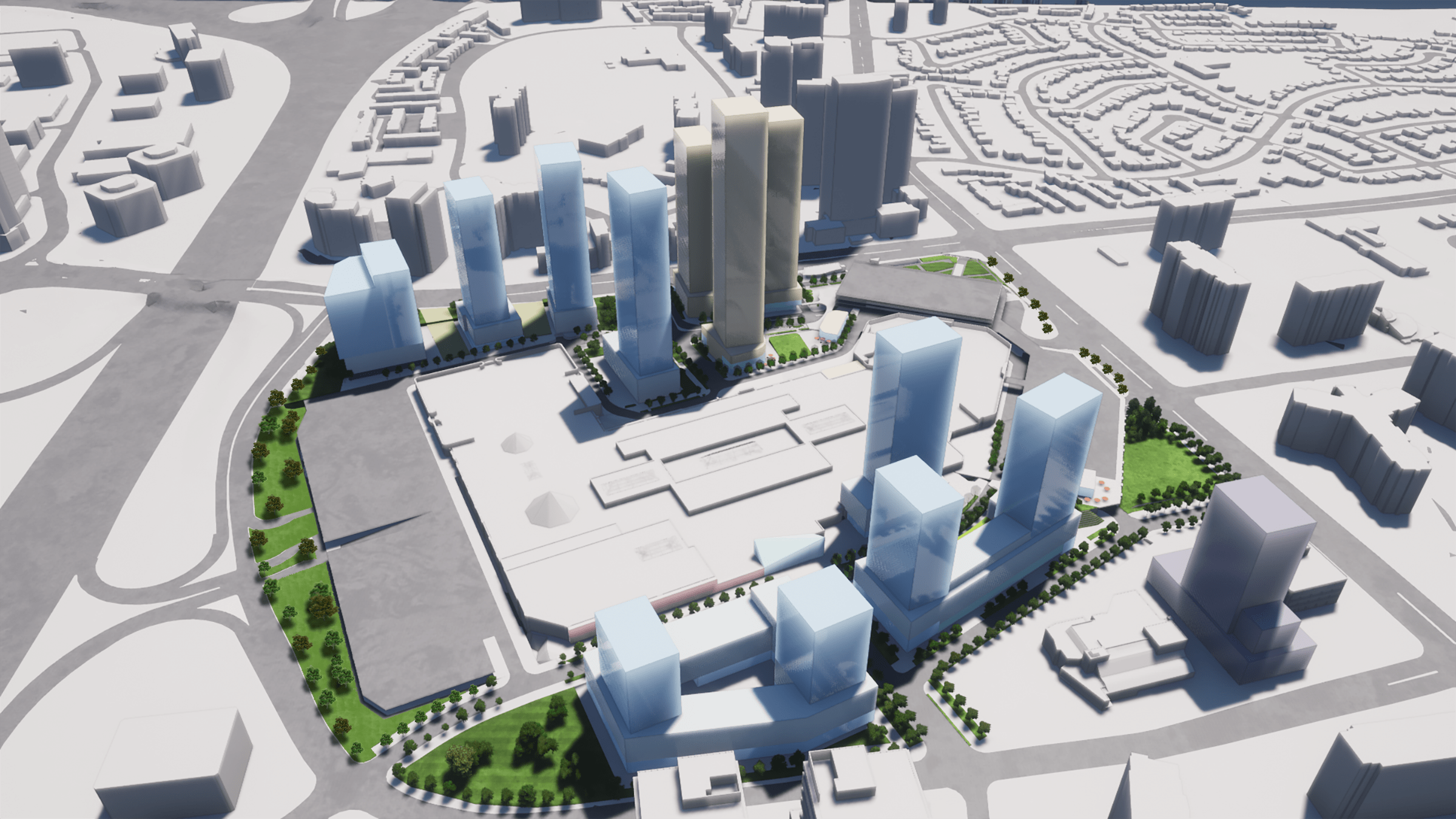
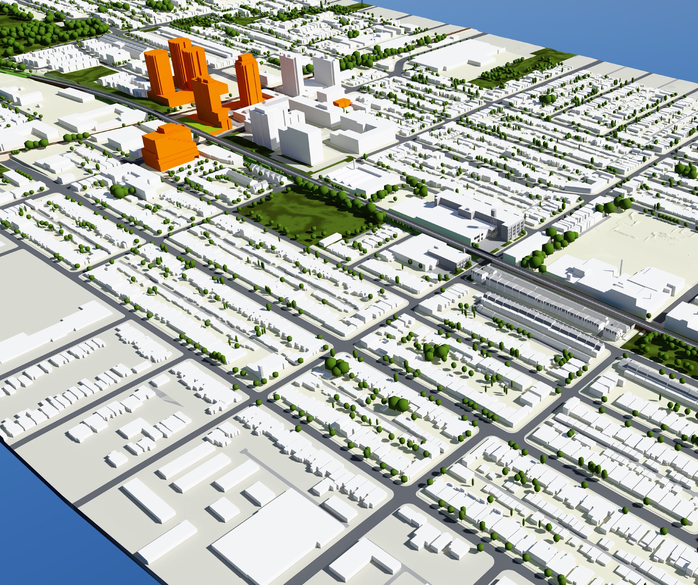
Urban Strategies was retained by the City of Calgary to prepare Station Area Plans for three stations along its Northwest LRT Corridor. As part of the decision to become a more sustainable city, Calgary is looking to tie land use to transportation. The city has developed an extensive LRT system that, at over 270 000 riders daily, is the most heavily used network in North America. When looking for places to grow within Calgary, underutilized areas immediately surrounding LRT stations present some of the best opportunities to create liveable communities, employment nodes and institutional hubs attached to transportation infrastructure. Tying land use to existing infrastructure, particularly transit, is a key strategy when aiming to grow in a more sustainable way.
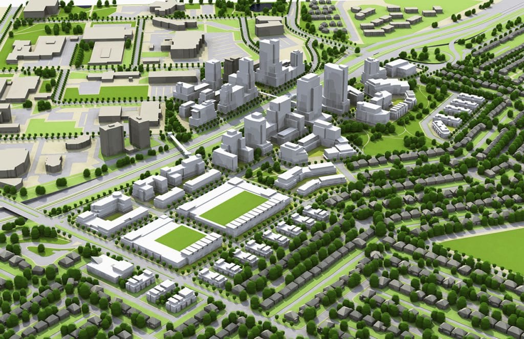
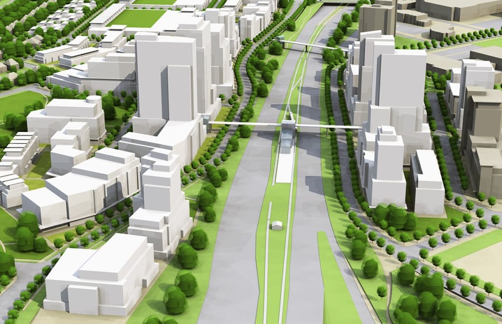
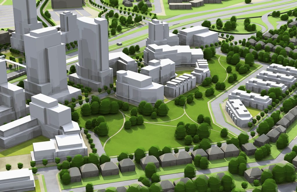
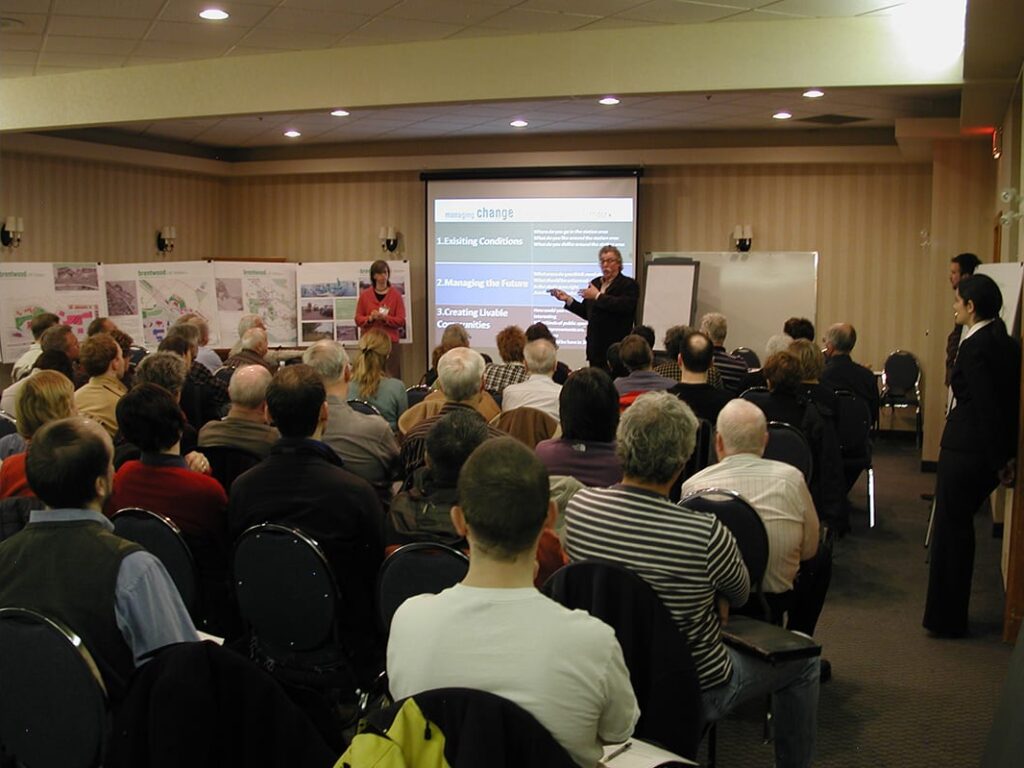
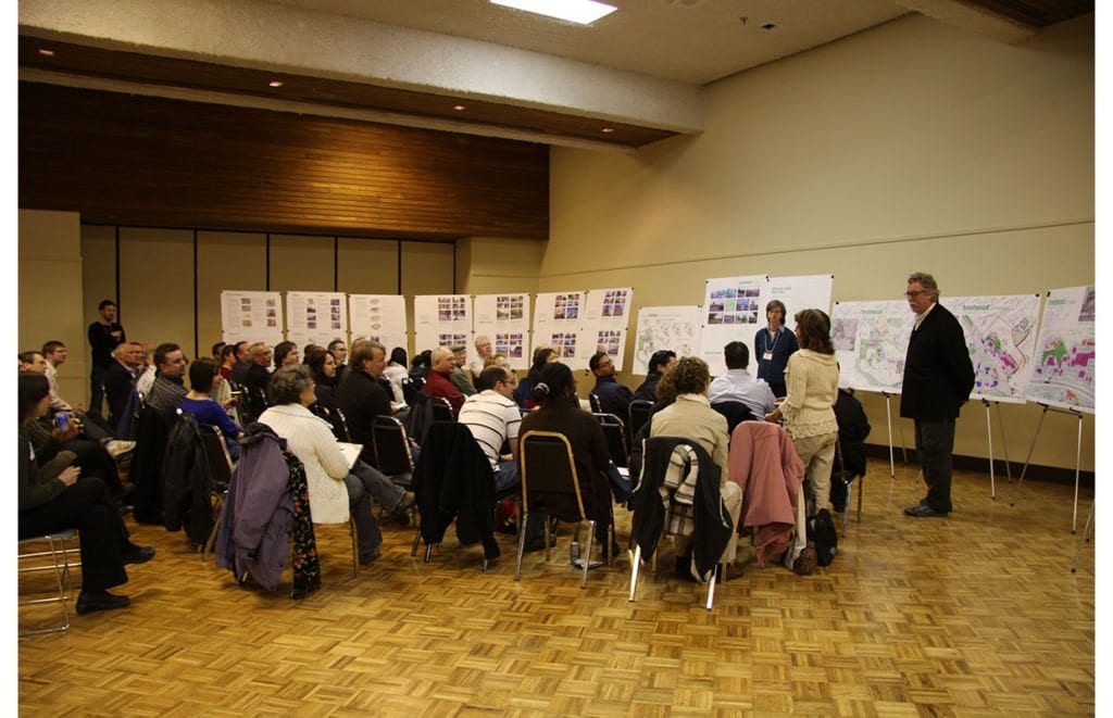
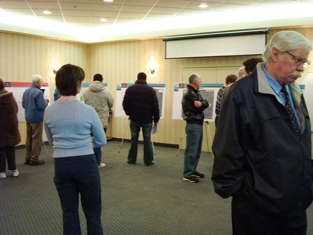
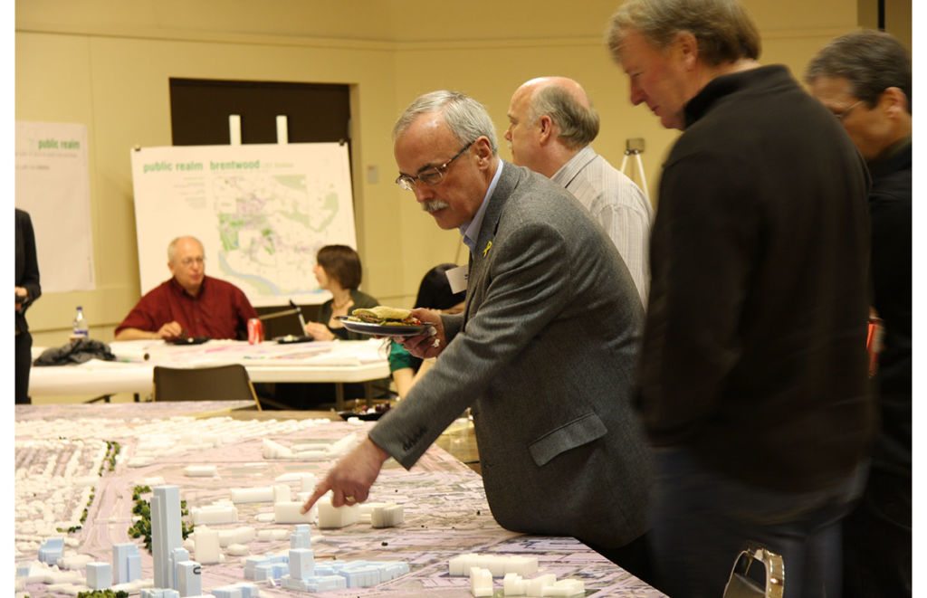
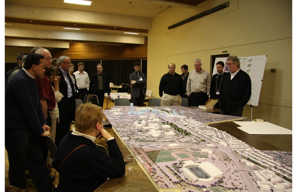
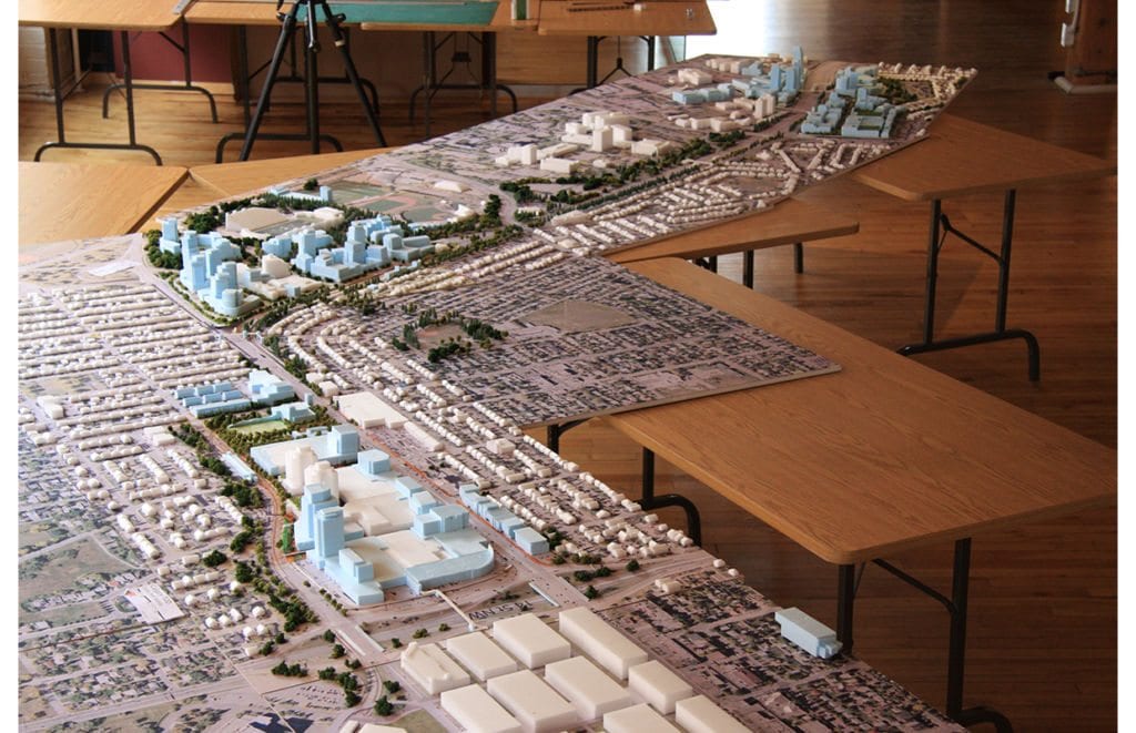
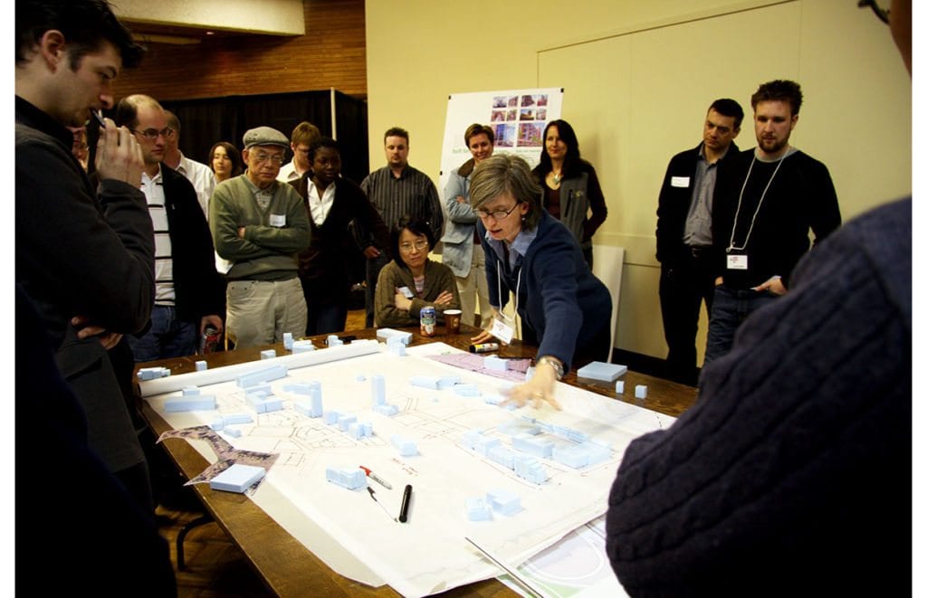
The Station Area Plans set out a comprehensive framework for reurbanization including mobility systems, the public realm, land use and built form. The Plans also feature implementation strategies to achieve comprehensive redevelopment of liveable, walkable and transit-supportive hubs in the three station areas. Extensive visioning and consultation was performed including use of best practice precedents and 3 dimensional physical modeling.
Calgary Fish Creek Station Area Plan
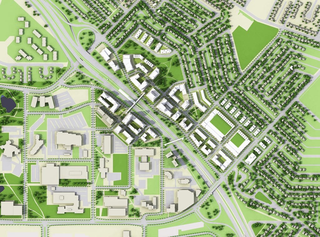
After successfully creating Station Area Plans for three stations along the Northwest LRT Corridor, in 2011 Urban Strategies was retained agian to facilitate a week-long workshop to create a plan for reurbanization of the lands surrounding Fish Creek Station, which is located on the South LRT Corridor. The consultation was initiated as result of the proposed redevelopment of a golf course for a new residential community in proximity to the Station. The process allowed the City and community to discuss where and how best to plan for intensification around the transit and transportation infrastructure. The outcome of the workshop was a summary document which helped to inform Council’s decision on the proposed development.
For a full week, Urban Strategies worked with City staff, residents, Saint Mary’s College, the development proponents and other land owners in a structured, intensive charrette process. We used a range of tools and techniques including 3-D foam core modeling, urban design plans, and transportation analysis to help the community to create a vision for the development of the station area. The process was highly collaborative and allowed participants to engage with the Urban Strategies team to build consensus around a complex planning process.
Key Team Members

Melanie Hare