We collaborate to innovate. On every project, we form a core team of talented consultants to identify and respond to the key questions at hand – experts in transport, market/economic, sustainability, and more – we work with the best international and local partners to provide a balanced range of perspectives. Continuous collaborations with talented designers, engineers and economists spark new ways of thinking about problem solving.
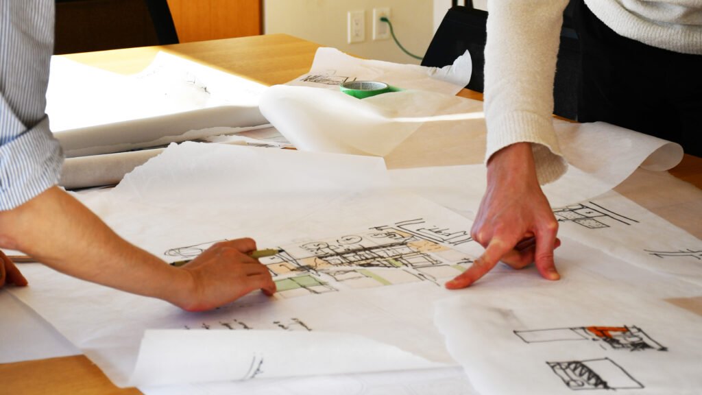
We believe in bringing people together to tackle complex problems. Urban Strategies’ design charrettes are less about presenting, and more about collaboration – with experts and interested community members – to analyse, illustrate, design and test solutions. We have developed tools such as on-the-spot 3D modelling to allow groups quickly, iteratively and successfully collaborate. When entering into any planning and urban design exercise there are many unknowns. Learning from people with lived experience is essential to understanding site and surrounding area conditions, understanding the many aspirations for the site from different perspectives, and understanding potential risks and being able to proactively mitigate them.
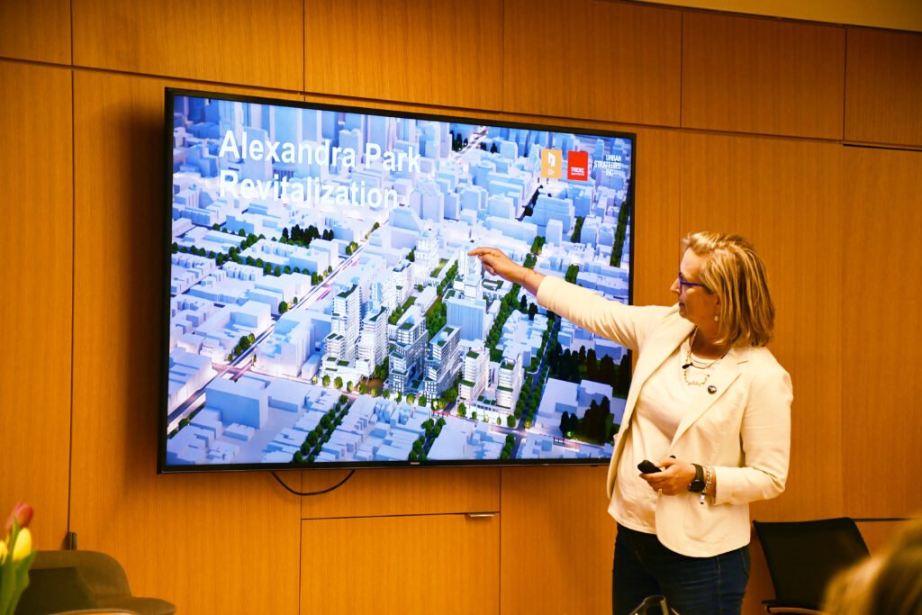
Visualizing urban relationships. “For urban planners and designers, modelling is, above all else, a way to manage information. A city, or even just a neighbourhood, is so full of pertinent details—the height of each building, the space between each lot, the location of each street, river, sewer, or ditch—that we humans can’t possibly hold the relevant facts in our heads. We model, in other words, to externalize—to visualize and manipulate a field of datapoints that would otherwise overwhelm us.” Excerpt from a profile of our Toronto Model, “Department of Speculation” that appeared in Find Magazine.
Since 2003, Urban Strategies has been developing and using an in-house 3D digital model of the City of Toronto, select GTA municipalities and most recently, Vancouver. We have developed the model with accurate 3D terrain to illustrate Existing, Under Construction, Approved and Proposed developments. Our model is never simply used as a representation tool alone, but rather, it supports our design methodology throughout the master planning process. It is a way for us to seamlessly move through the site and its urban context from street level to bird’s eye view to understand the composition of the existing site, its complex relationships with the wider urban context and to help us generate, test and illustrate urban design options and solutions.
Our visualization tools provide excellent rendering and animated ‘fly-through’ video clips of plans, and along with simple massing sketches and higher quality photorealistic renderings, describe the impact of solutions on adjacent communities, the quality of place, height, massing, open space systems and key linkages. The software also provides opportunities to generate sectional information across a wide site showing adjacent context relations and terrain.We also regularly prepare shadow studies, allowing us to demonstrate any time, location in the world, and condition of site.
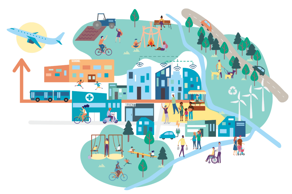
Show, don’t tell. We develop appealing and informative graphics to convey complex technical information and address a purpose, such as explaining decisions, soliciting input or promoting an initiative. Our materials are professionally designed, highly visual, and allow us to reach – and hear from — audiences who may not have been able to attend events. These materials include project brands or logos, web sites, interactive mapping tools and surveys, presentations, newsletters, posters, open house panels, briefing notes, and attractive infographics and illustrations.