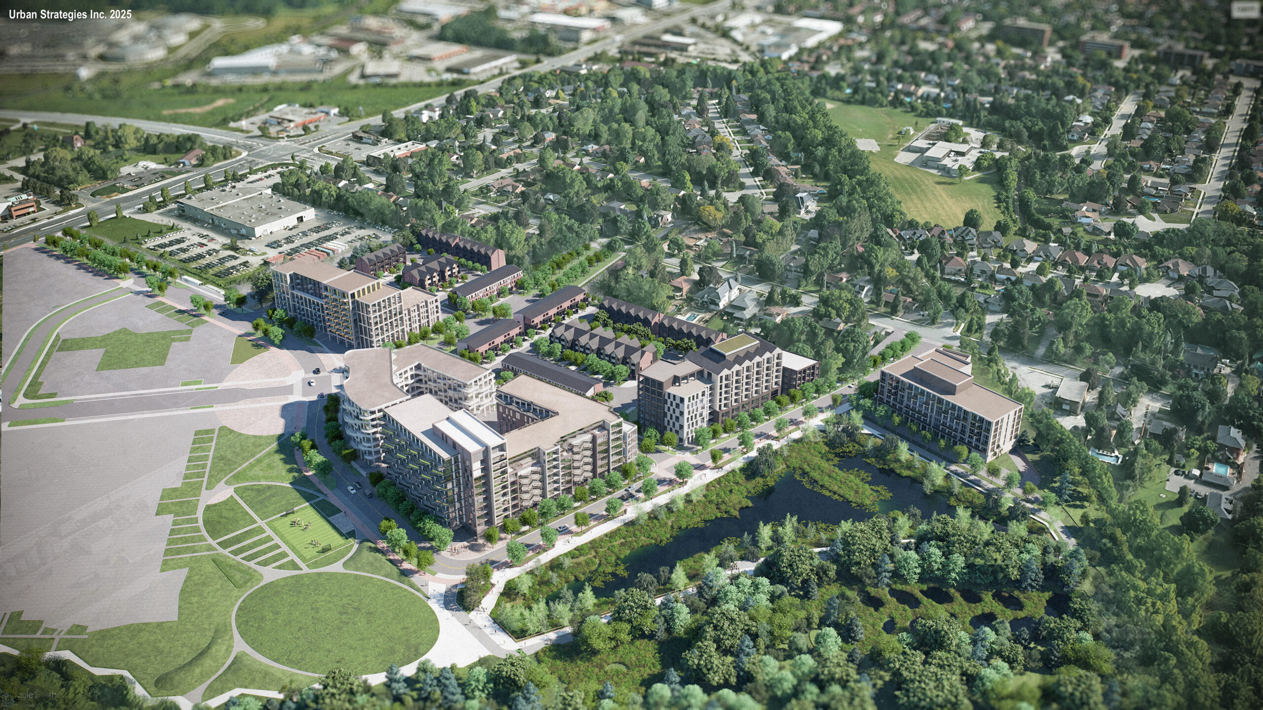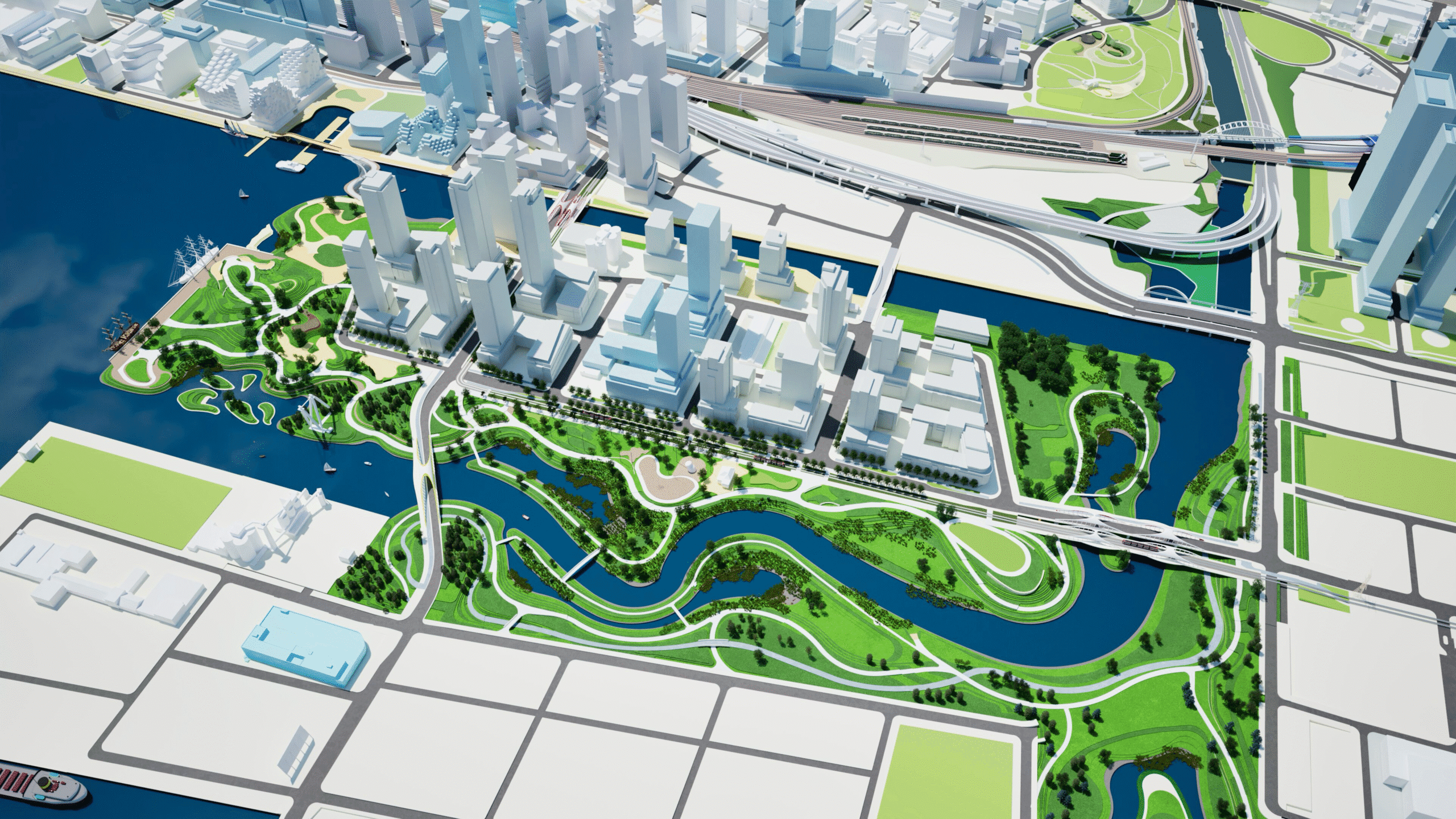
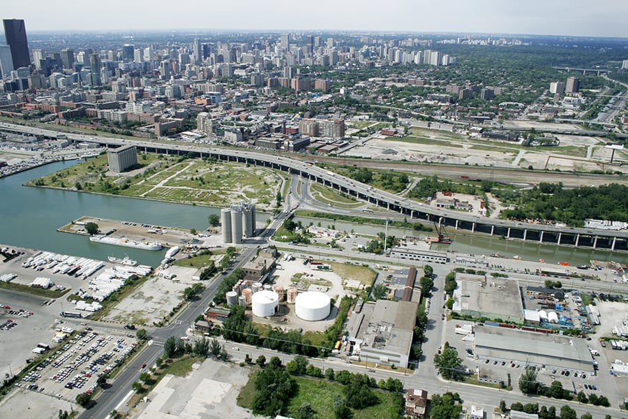
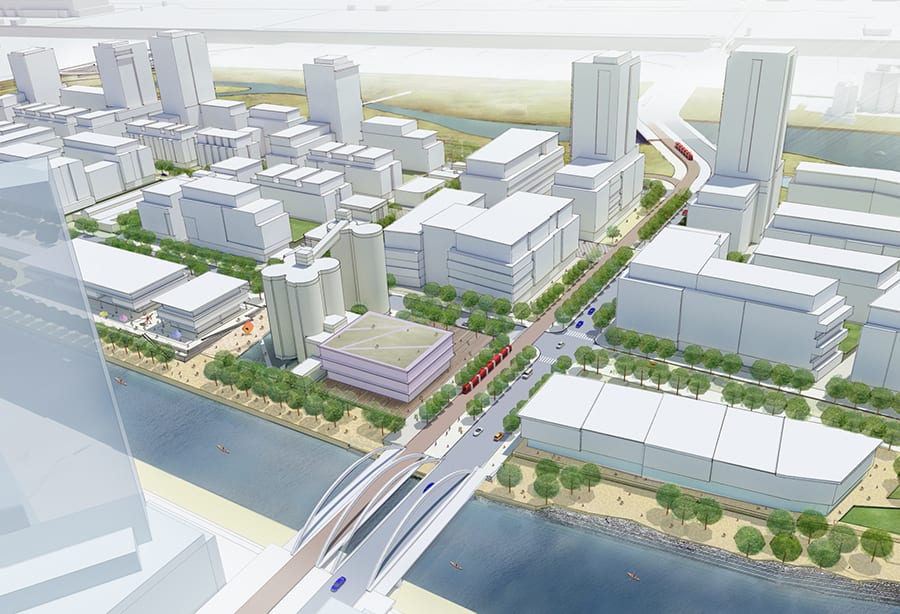
The Ookwemin Minising Precinct Plan (formerly Villiers Island) is an ambitious plan to transform a former industrial area in Toronto’s Port Lands into a sustainable and inclusive neighbourhood. In 2013, Waterfront Toronto, in partnership with the City of Toronto and the Toronto and Region Conservation Authority (TRCA), engaged Urban Strategies Inc. to lead a multi-disciplinary team in preparing a comprehensive vision for the area. The plan set directions for land use, heritage, built form, parks and open space, mobility, and infrastructure. Its preparation involved a multi-phase consultation process, including a rigorous concept development stage that tested and refined ideas against metrics for energy demand and carbon output, sun/shadow and microclimate conditions, views to heritage structures, and public realm quality.
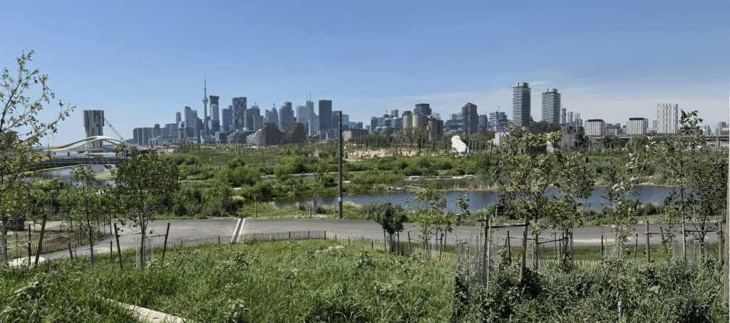
In 2024, following a seven-year effort to naturalize the mouth of the Don River, creating a new outlet into Lake Ontario, the island took shape. As Toronto’s first climate-positive community, Ookwemin Minising is intended to showcase practical solutions for climate change mitigation and to set new standards for carbon reduction and sustainable neighbourhood design. In 2025, the first phase of Biidaasige Park—a 24-hectare park along the Don River’s new edges—opened as the island’s first major community amenity and regional destination.
Key Team Members

Michel Trocmé