Surrey Centre Block Master Plan
2018 - 2019
Centre Block is located at the heart of Surrey’s planned downtown -- a place expected to grow and transform into a major regional centre over the next 20 years
Cities are complicated. We lead complex projects in cities all over the world. Clients benefit from fresh eyes and understanding of global best practices, with no preconceived approach or end solutions envisioned. We try and make the complicated simple.
Filter
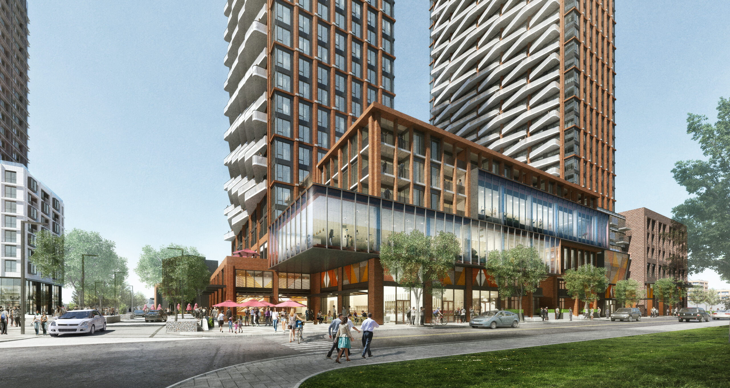
The Well
2008 - 2020
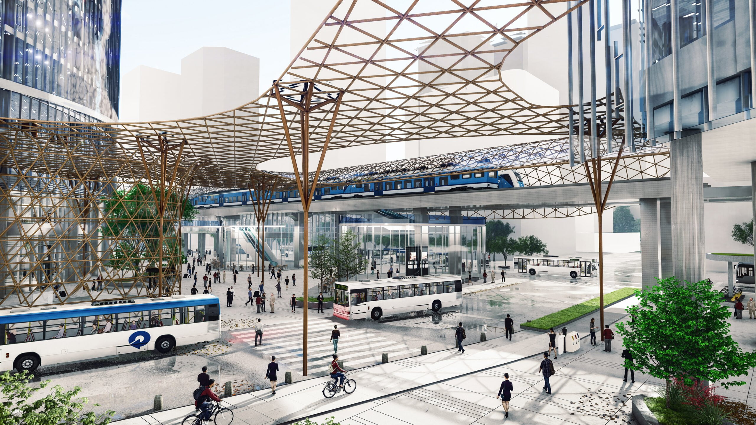
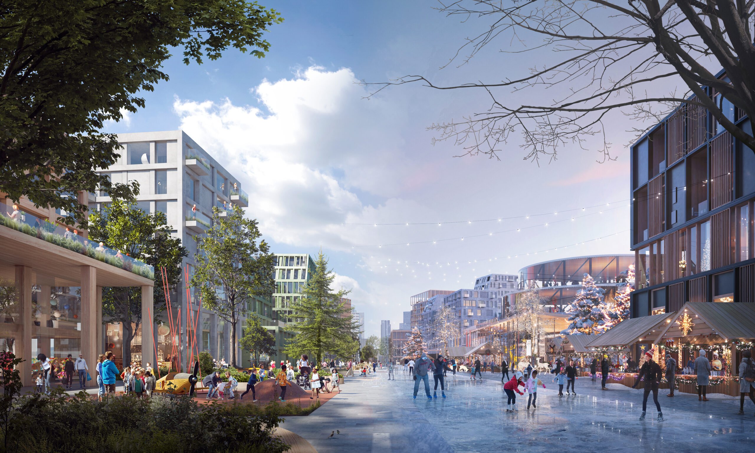
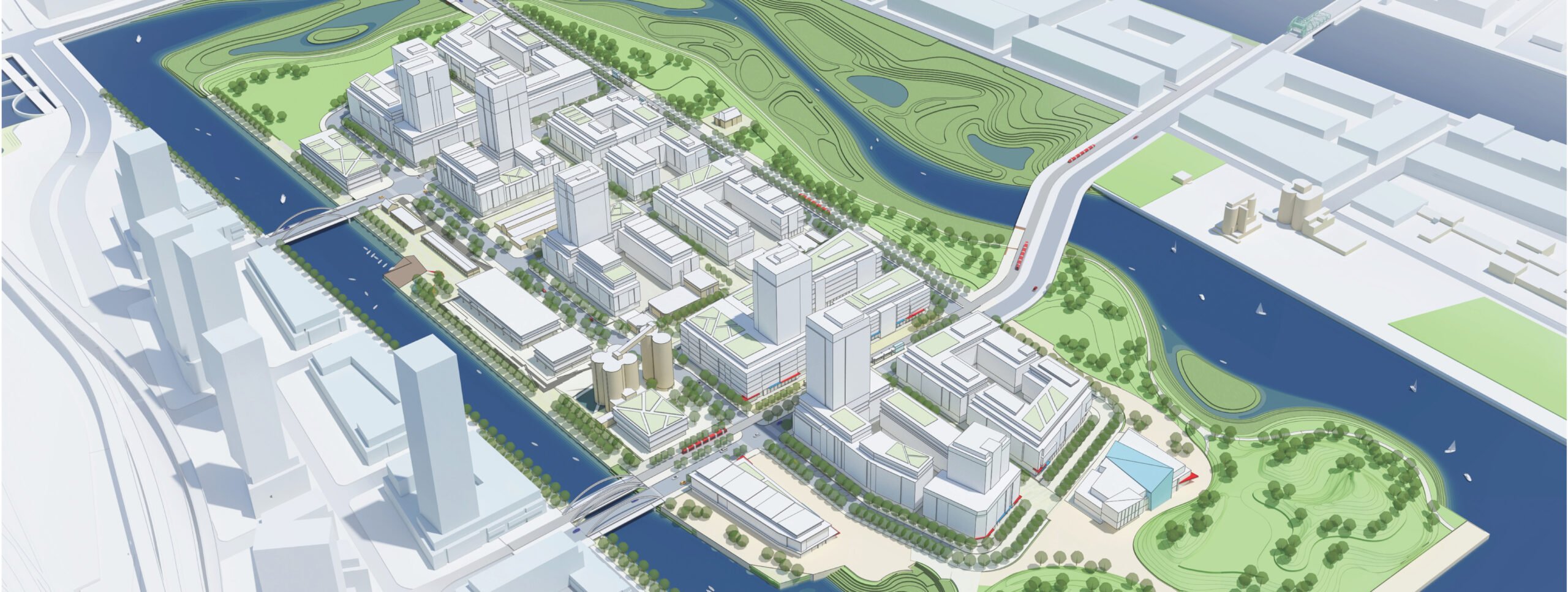
Downsview West District
2020 - Present
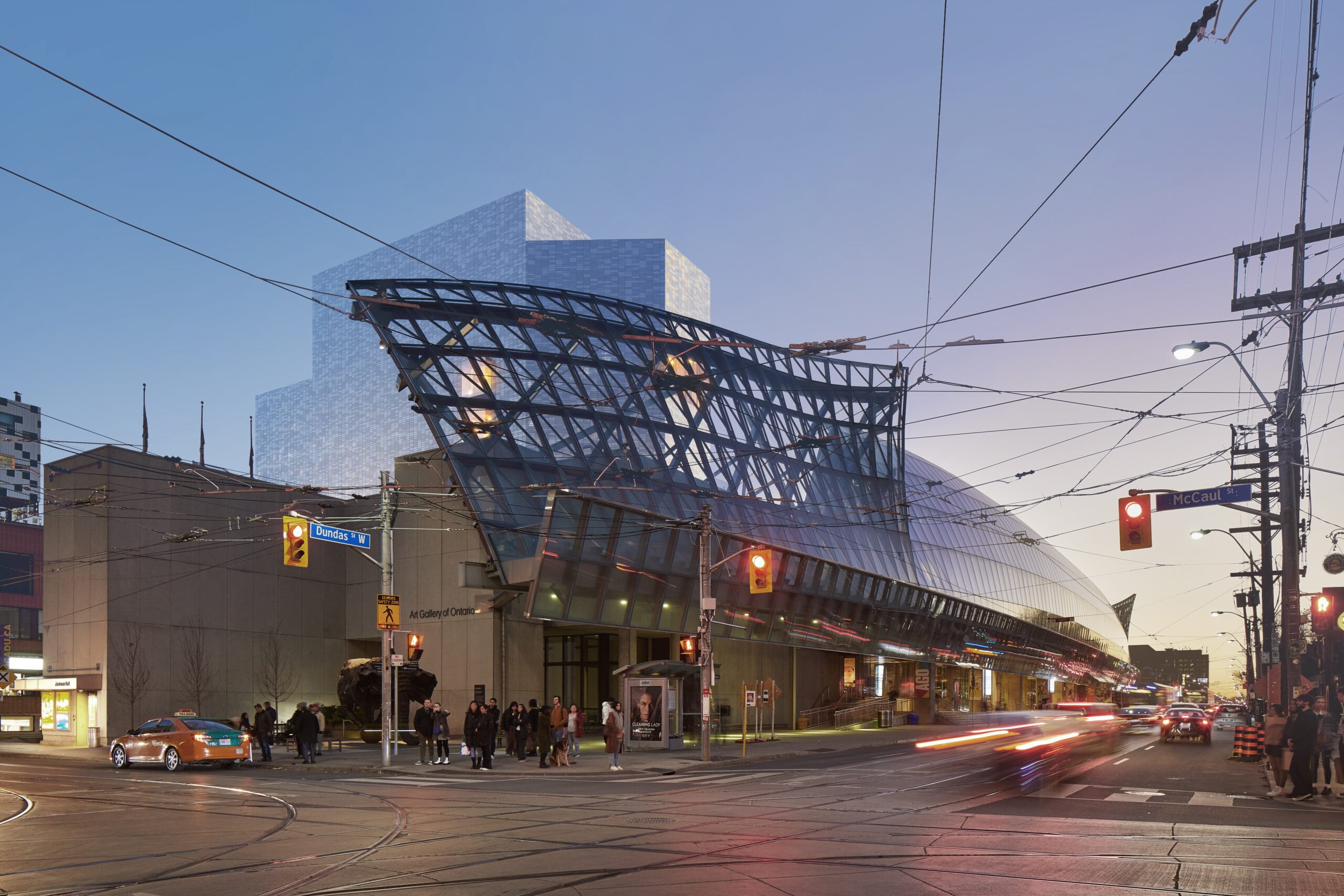
Art Gallery of Ontario
2002 - 2006, 2022 - 2024
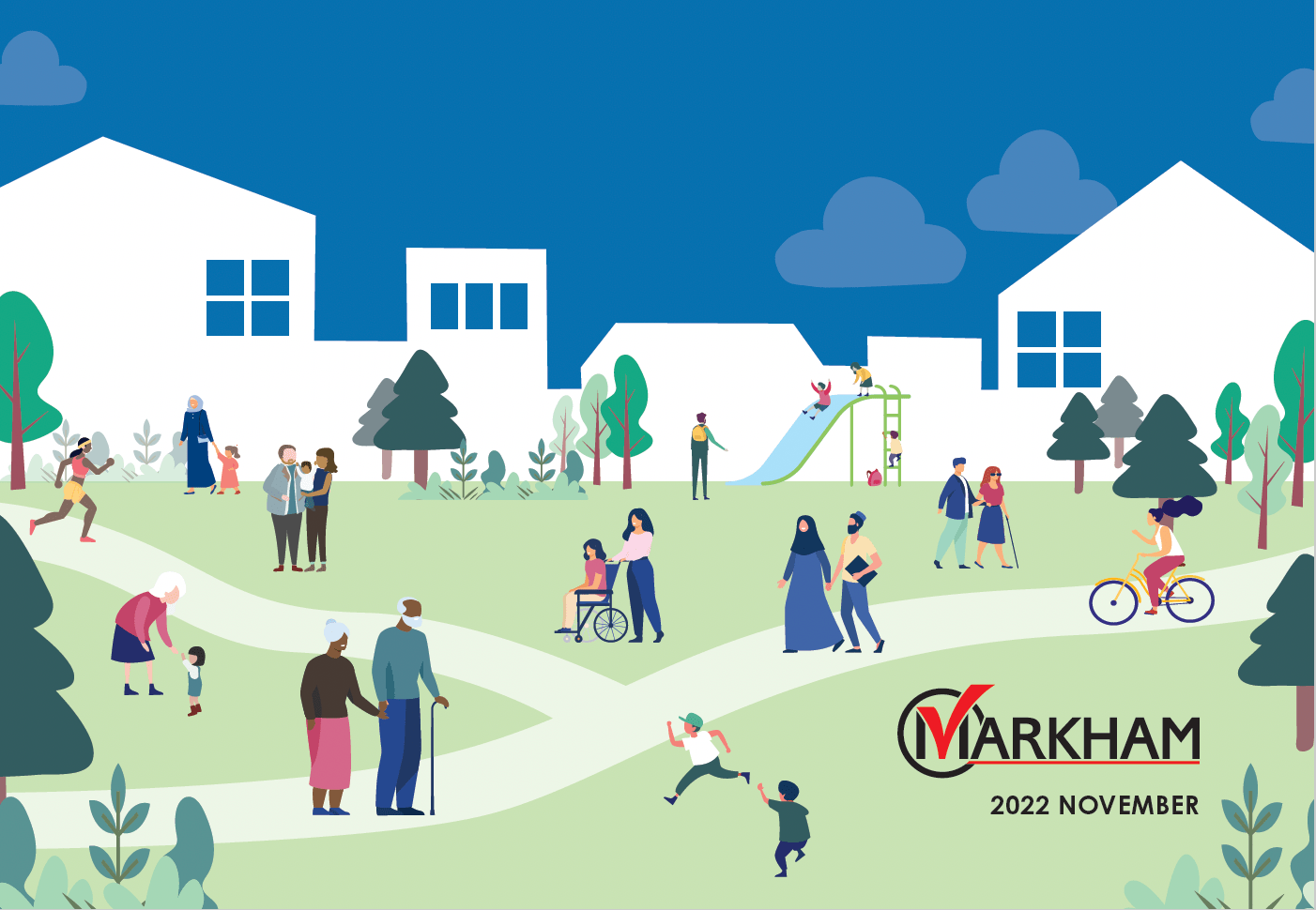
Markham Age Friendly Design Guidelines
2021 - 2022
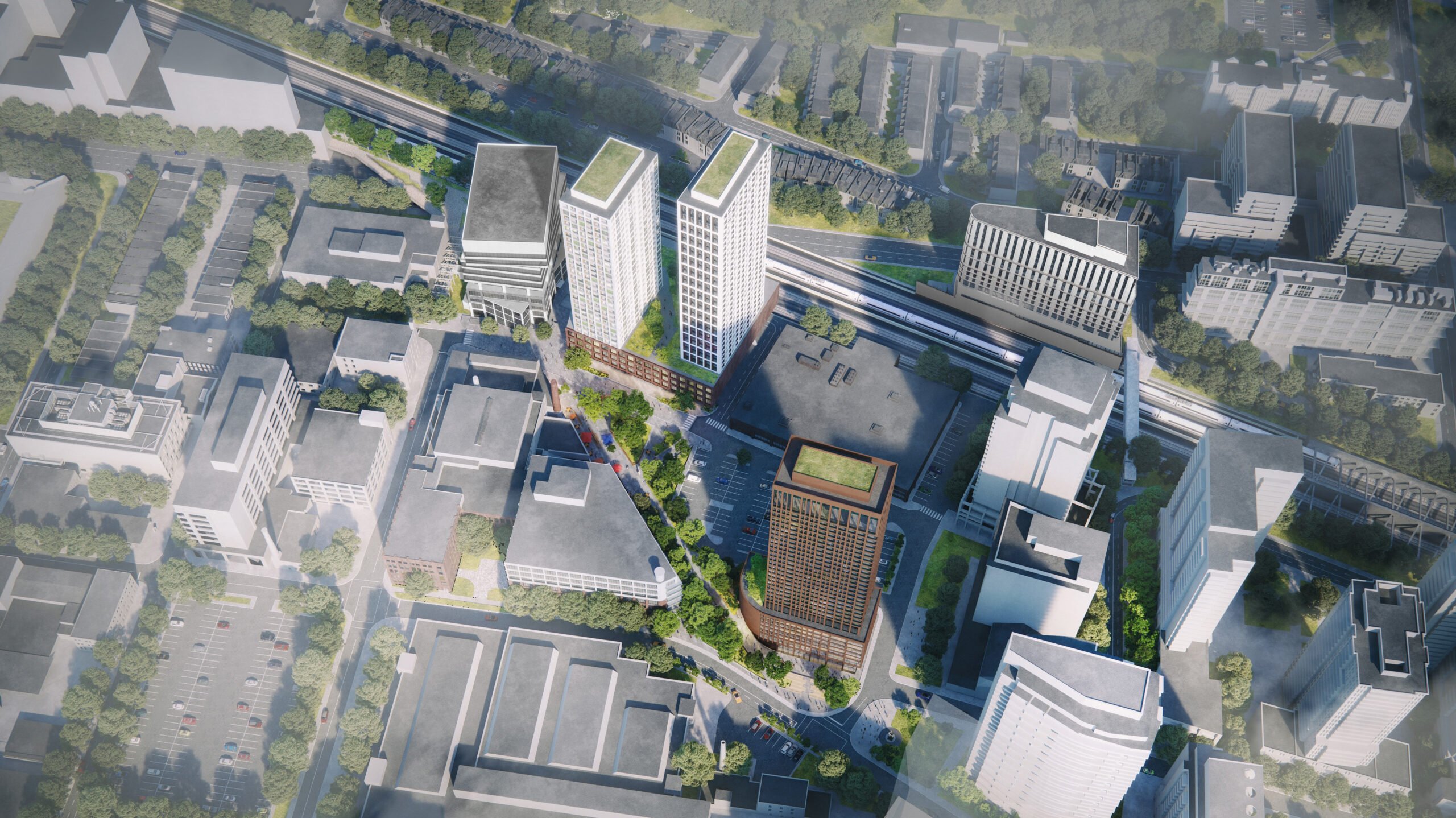
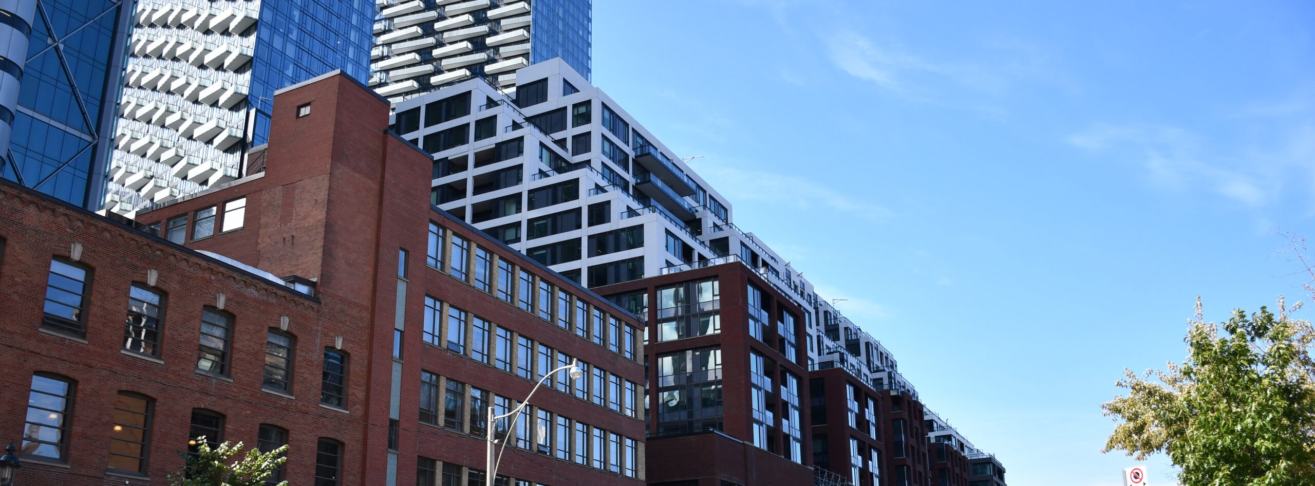
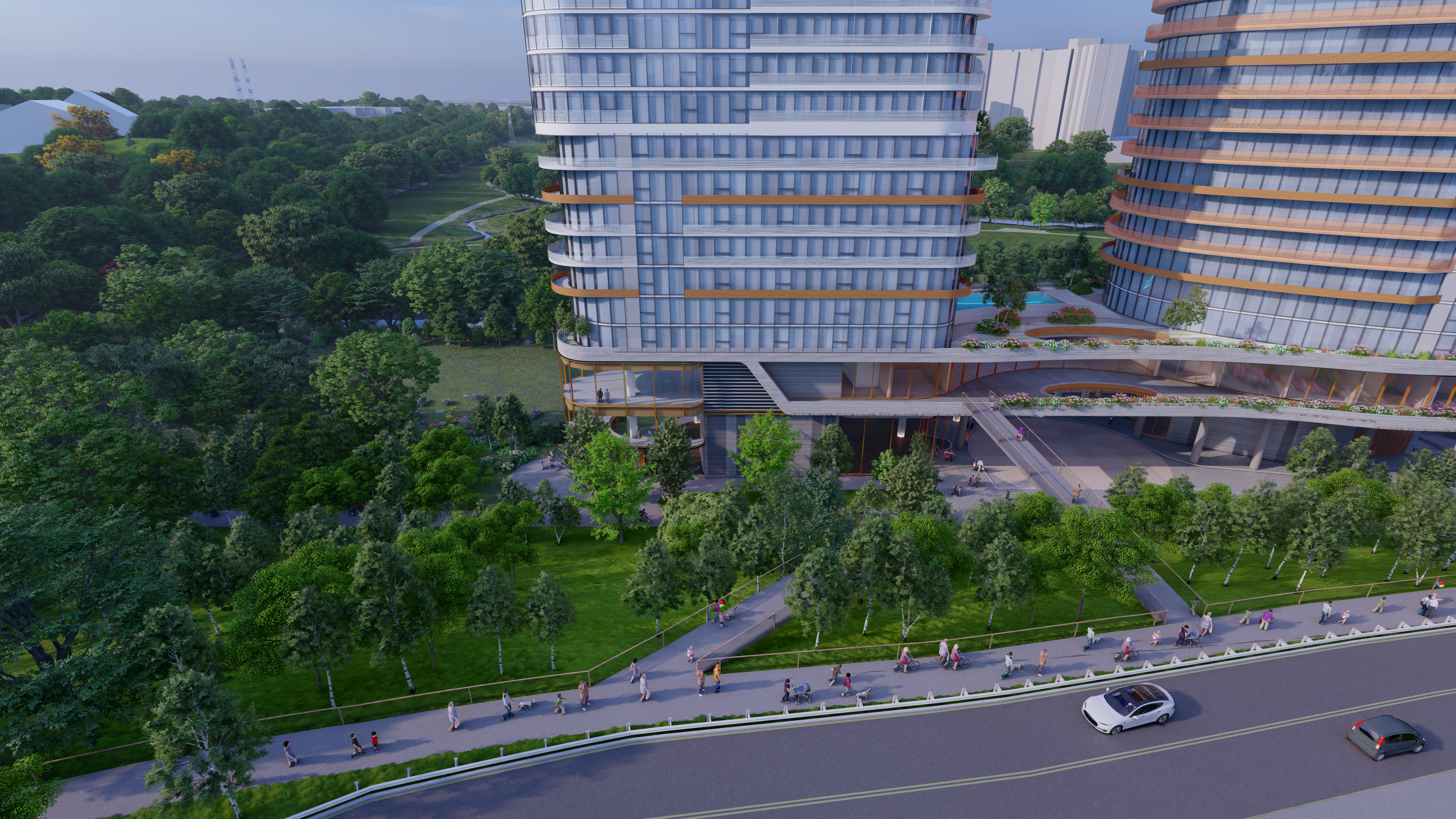
Liberty Yards
2020 - Present
Don Valley ReConnects
2022 - Present
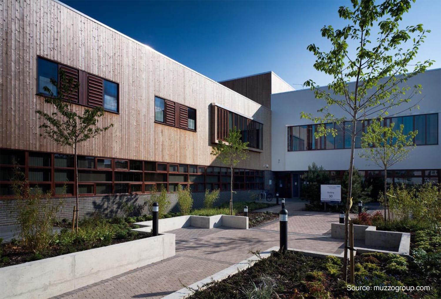
Springfield University Hospital
2004 - 2005, 2007 - 2009
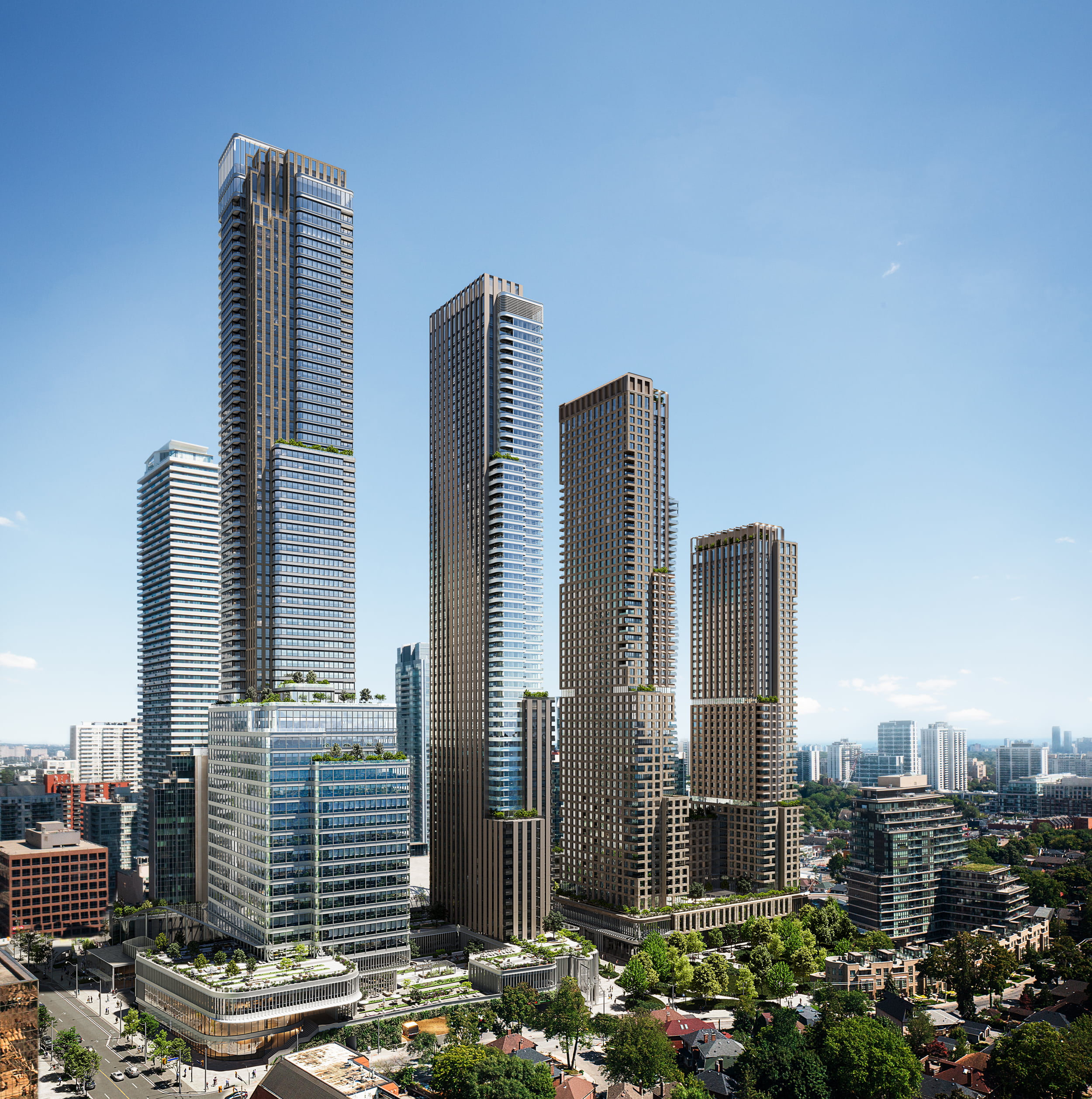
Canada Square
2017 - Present
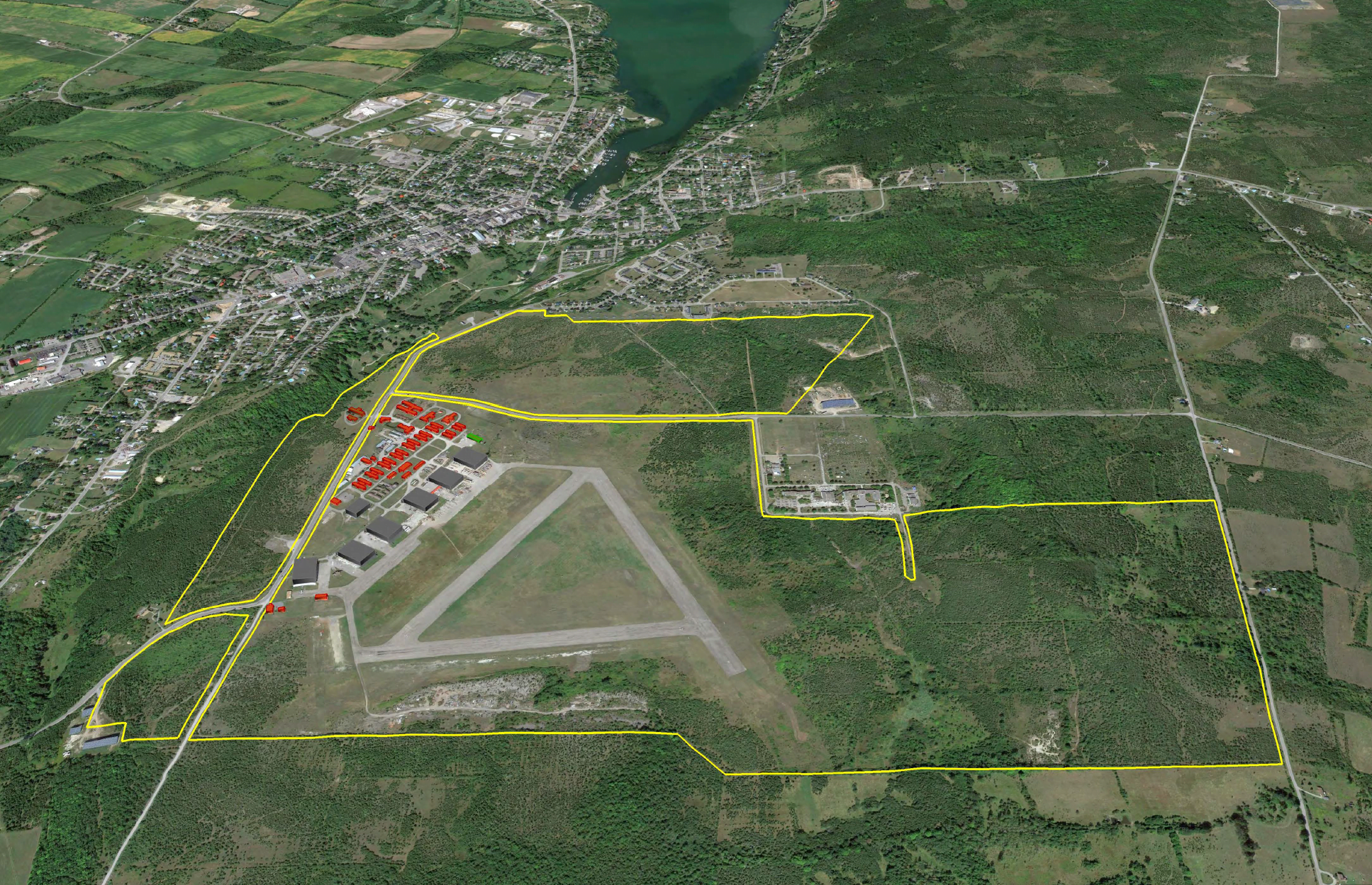
Base31 and Picton Airport Lands Revitalization
2021 - Present
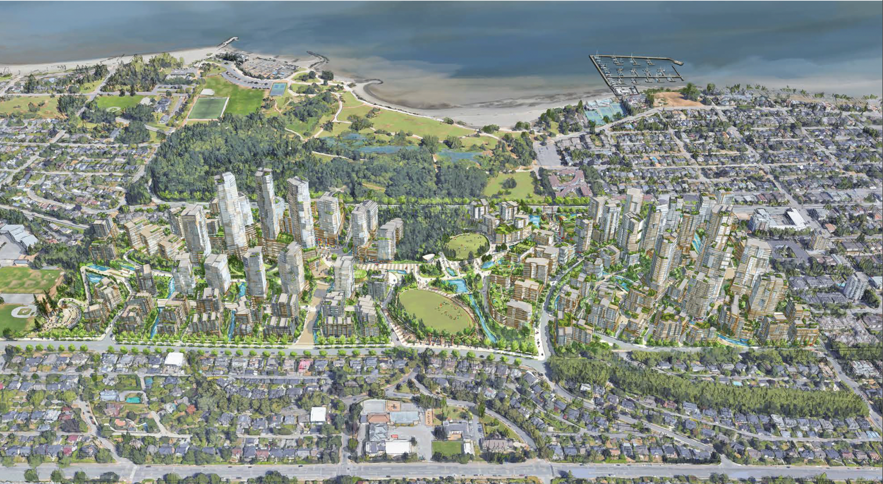
ʔəy̓alməxʷ/Iy̓álmexw/ Jericho Lands
2020 - 2024
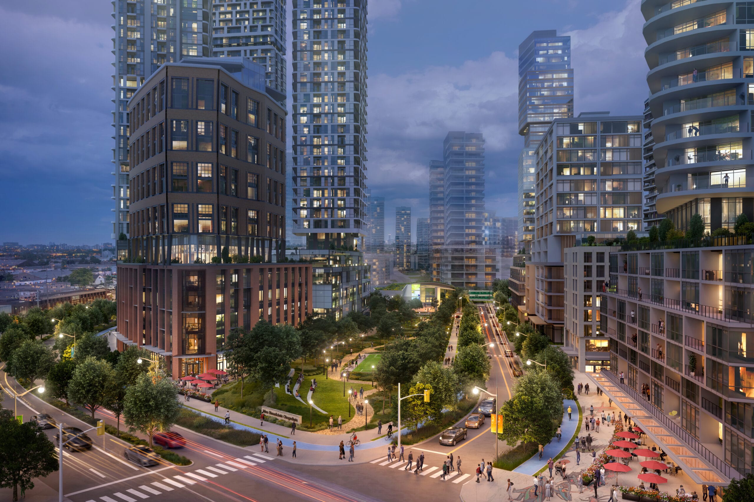
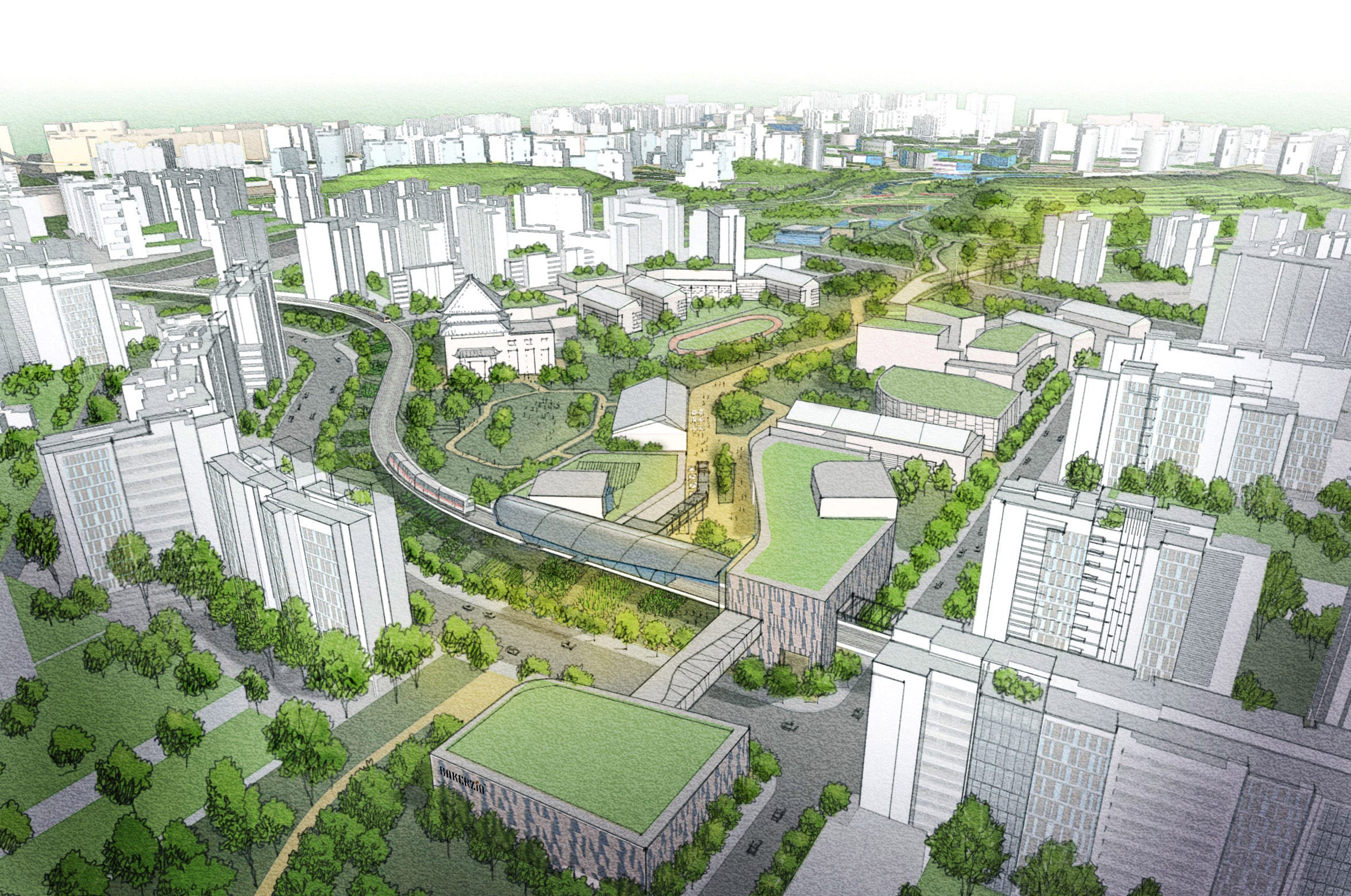
Downsview
2018 - Present
Dufferin Mall Redevelopment
2018 - Present
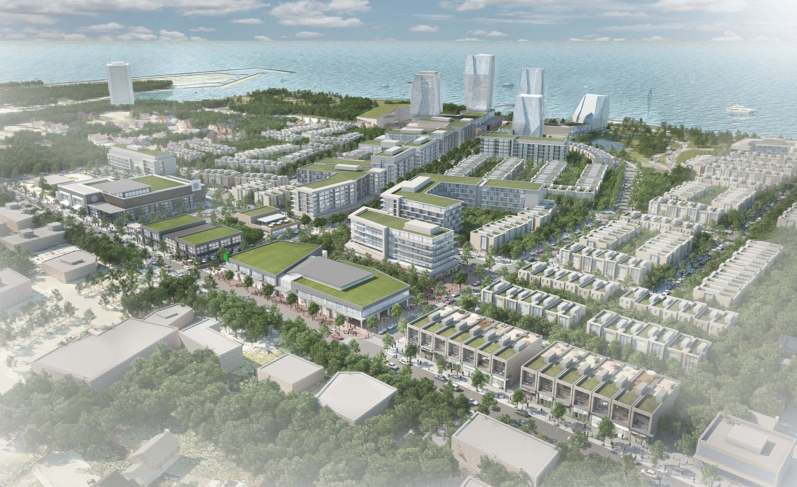
Port Credit West Village – Brightwater
2017 - Present
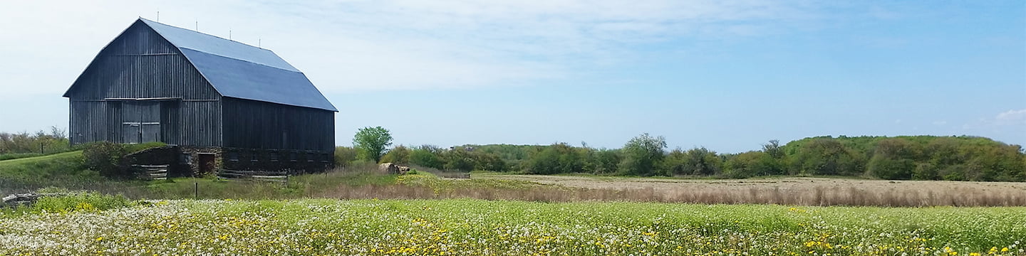
Britannia Farm Master Plan Refresh
2016 - 2017
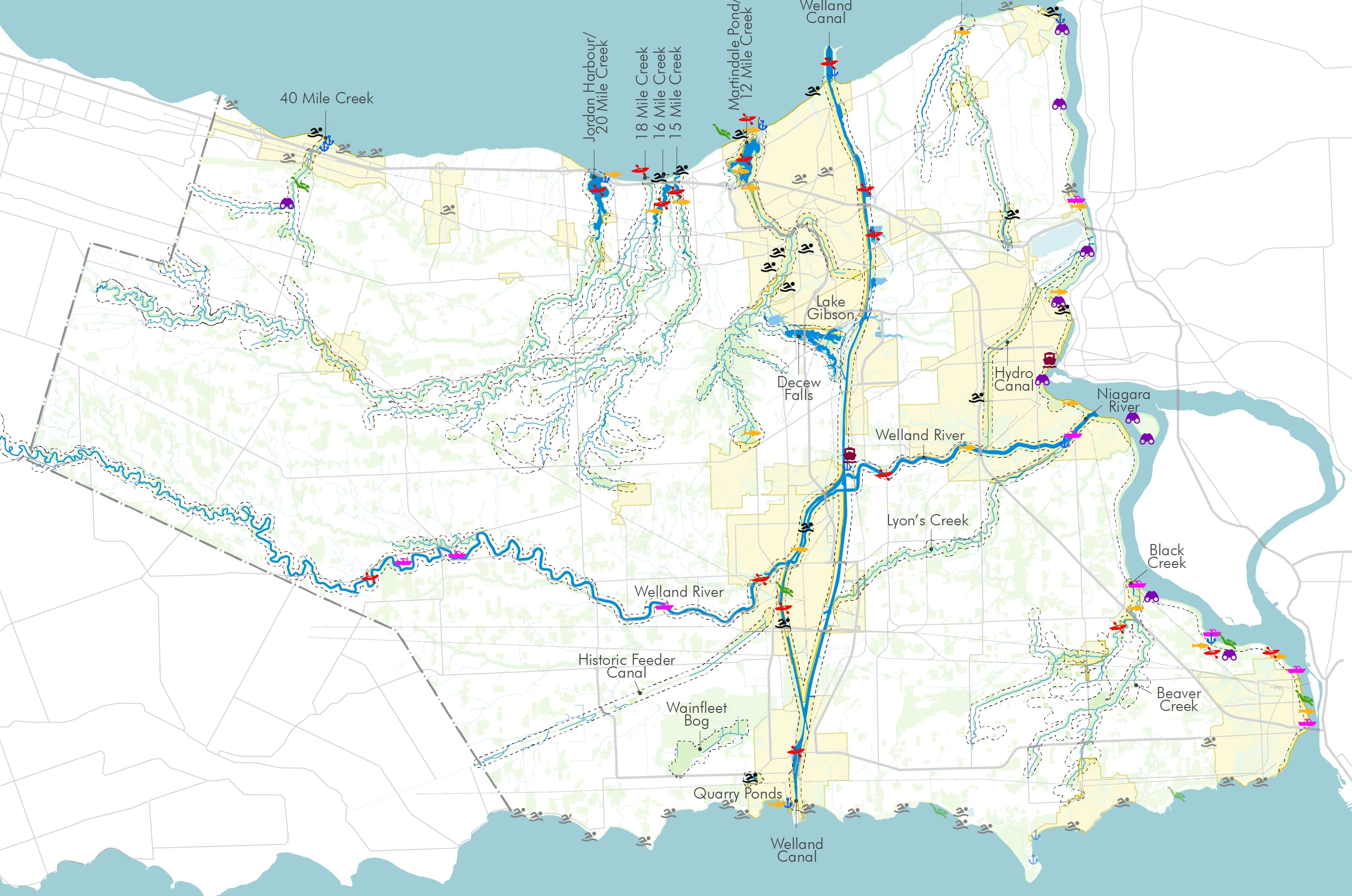
Niagara Lakefront Enhancement Strategy
2012 - 2014
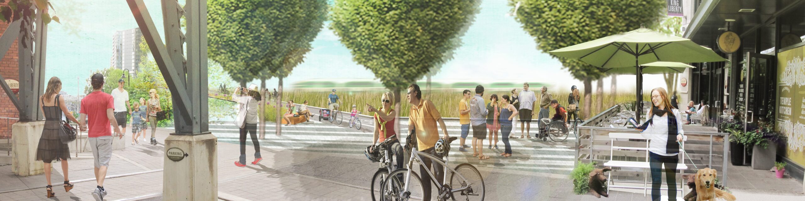
King High Line
2014 - Present
Master Plan & Urban Design for Tengah Town
2013
Galleria Mall Redevelopment
2015 - Present
Ookwemin Minising Precinct Plan
2013 - 2017
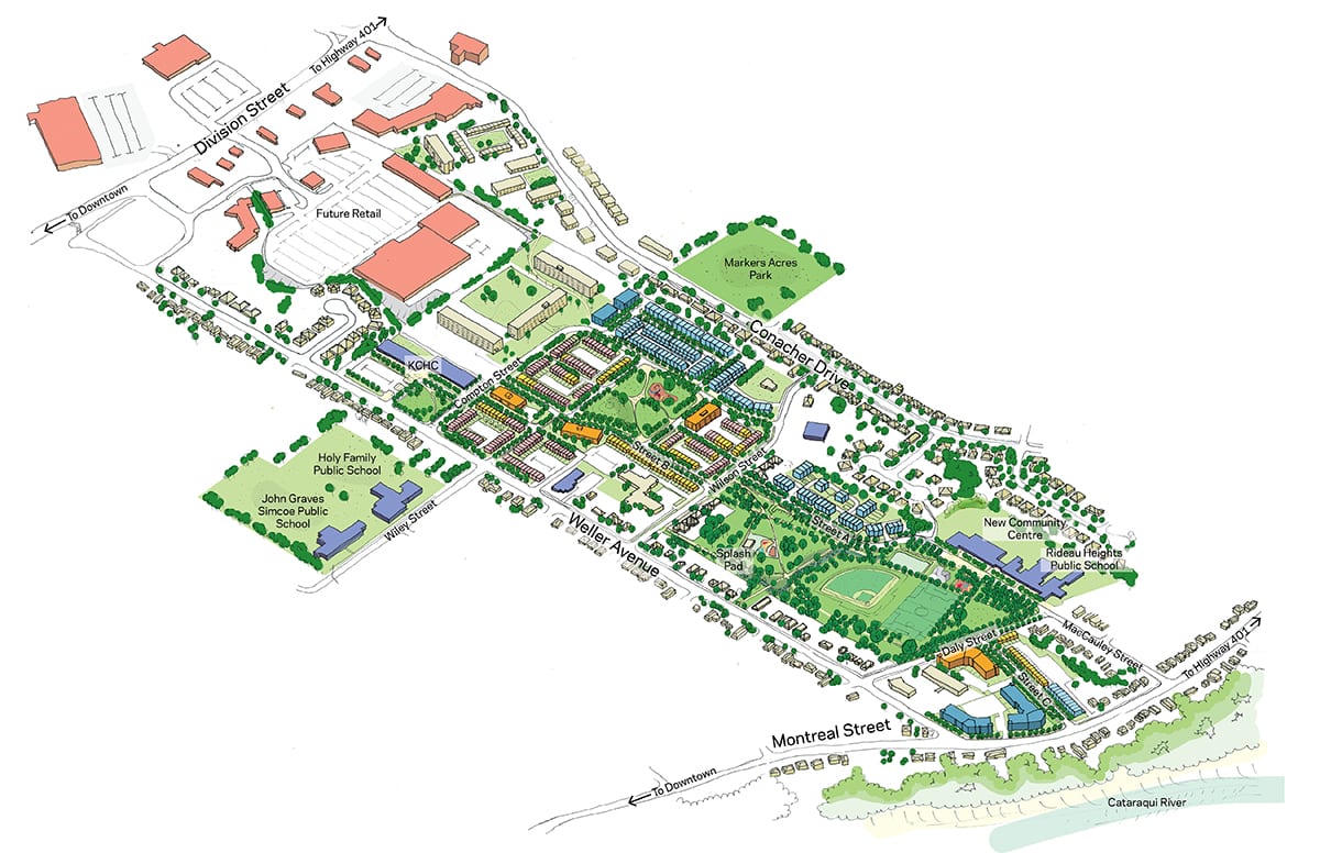
Rideau Heights Regeneration Strategy
2013 - 2015
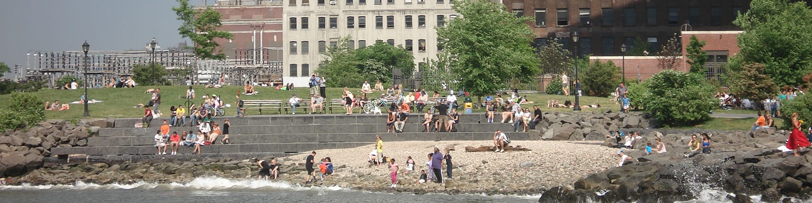
Brooklyn Bridge Park Master Plan
1999 - 2000
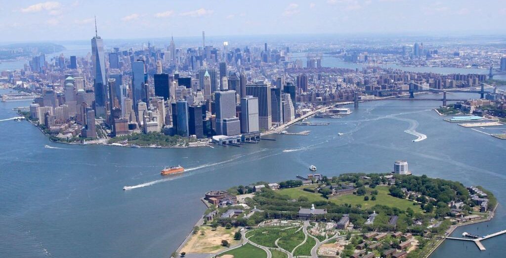
Governors Island Redevelopment Framework
2004 - 2006, 2016 -
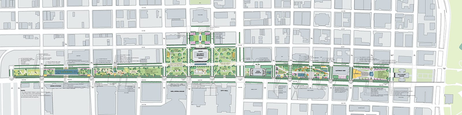
St. Louis Gateway Mall Park Plan
2007
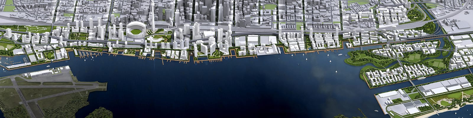
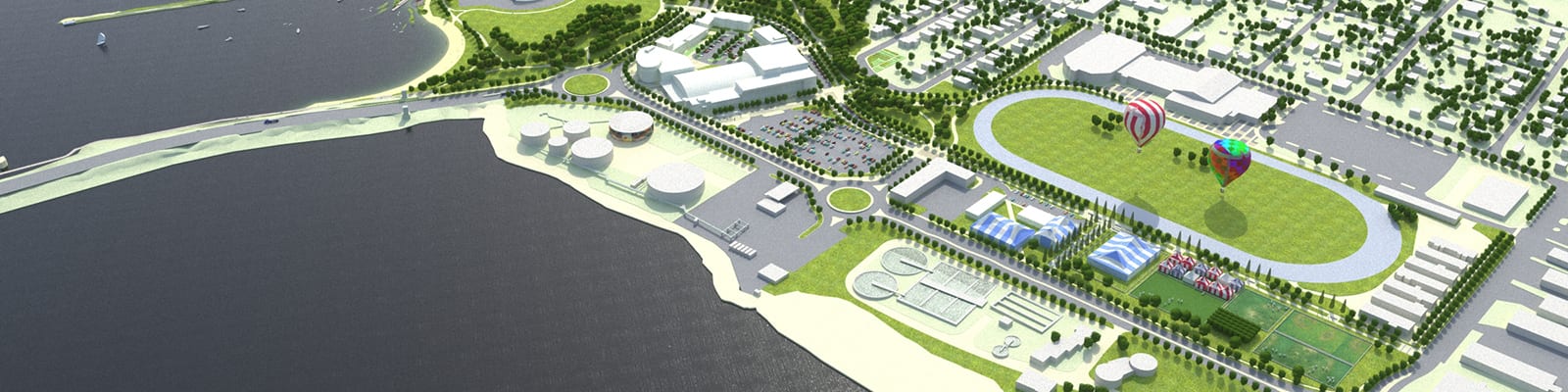
Toronto Waterfront Revitalization
2000 - Present
Eastern Gateway Waterfront Master Plan
2011
Inspiration Lakeview
2010 - 2014
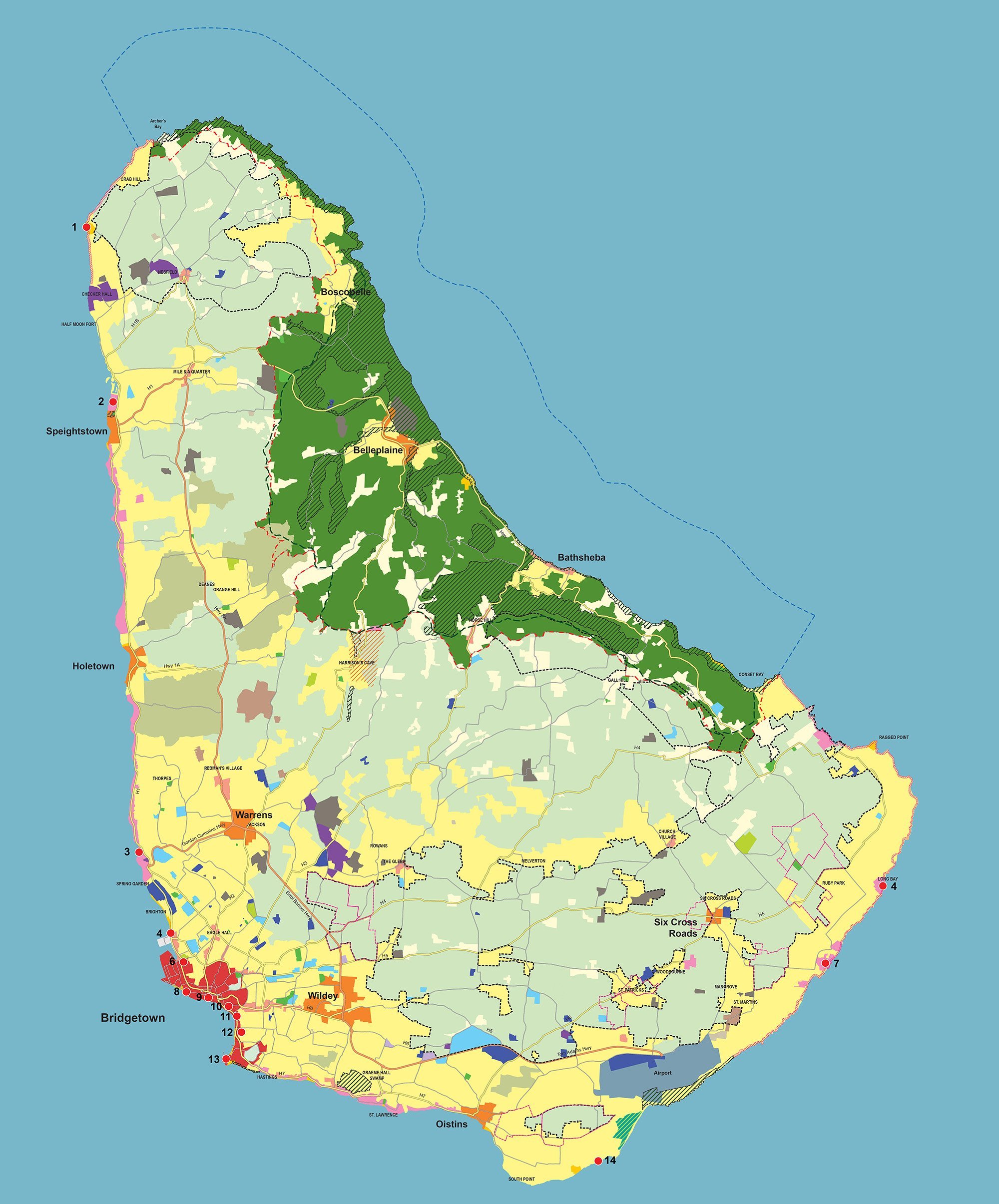
Barbados Physical Development Plan & Barbados National Park
1997 - 1998, 2001 - 2003, 2016 - 2017, 2021 - Present