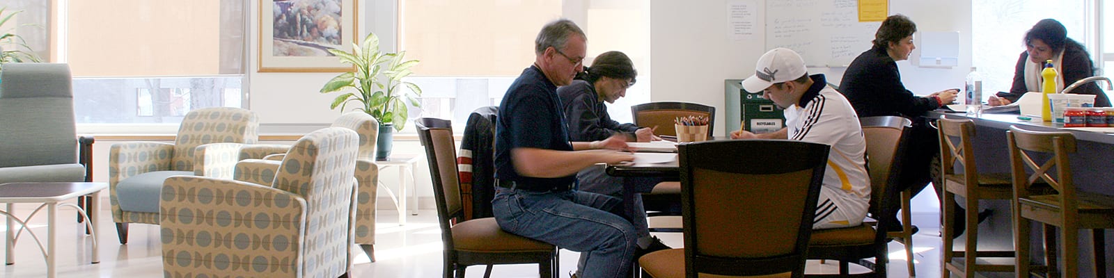
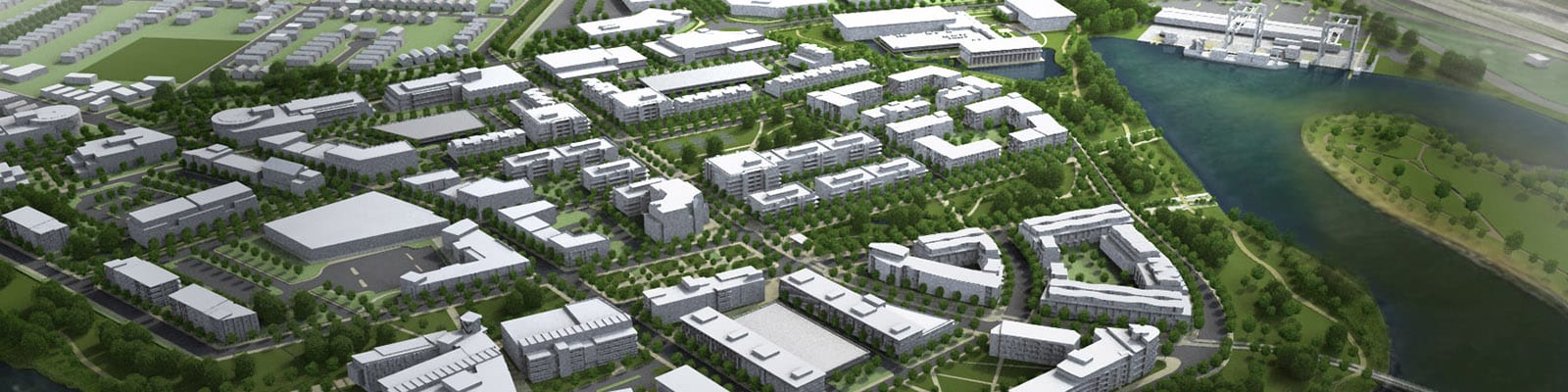
Centre for Addiction & Mental Health
1993 - 2003, 2007, 2013 - Present
The Vision: create a client-centred hub for interaction and collaboration; design an urban village integrated with the surrounding city; and respect the landscape with its healthy green spaces.
Cities are complicated. We lead complex projects in cities all over the world. Clients benefit from fresh eyes and understanding of global best practices, with no preconceived approach or end solutions envisioned. We try and make the complicated simple.
Filter
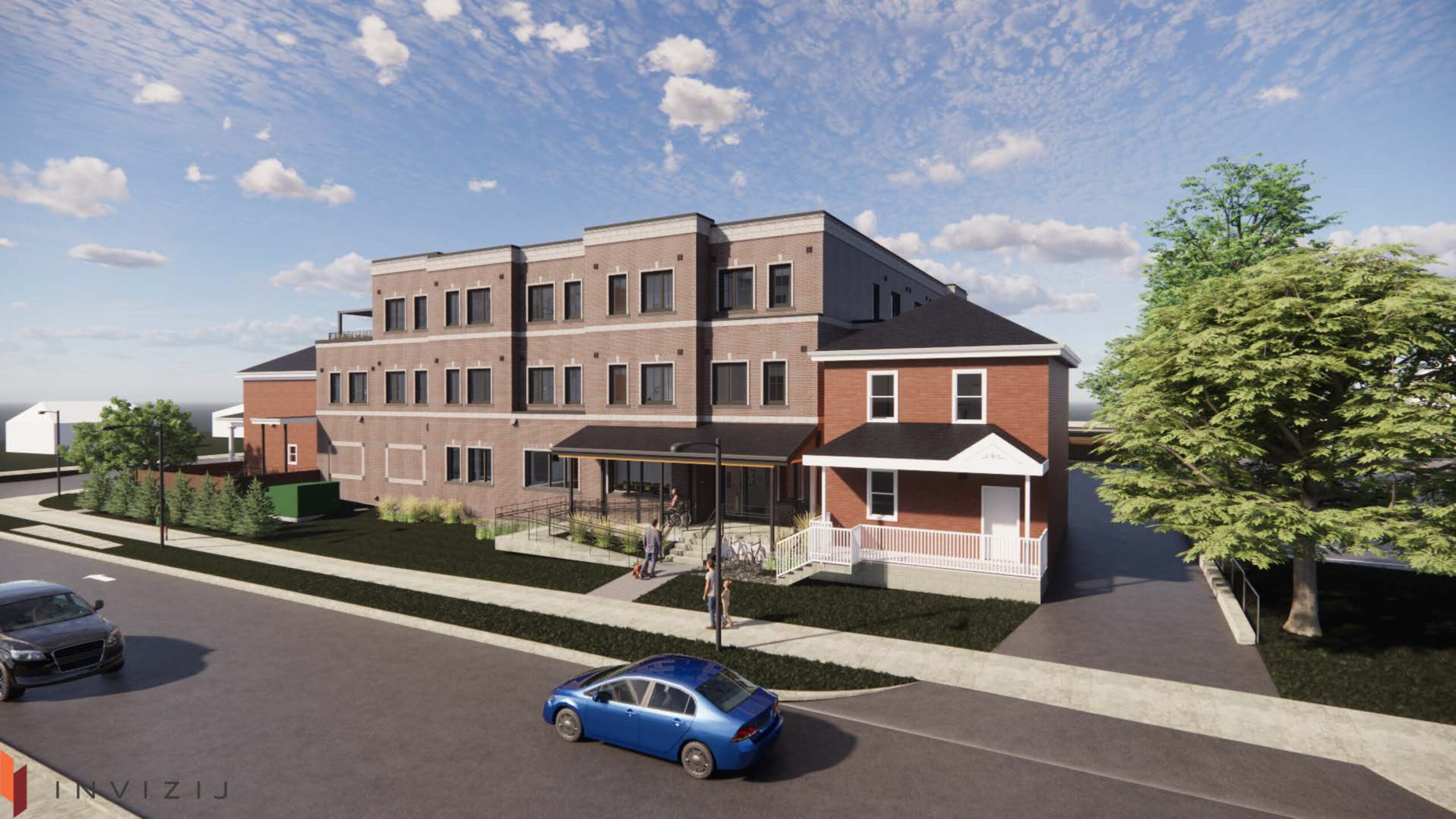
Indwell 25 Thomas Street Affordable Housing
2021 - 2022
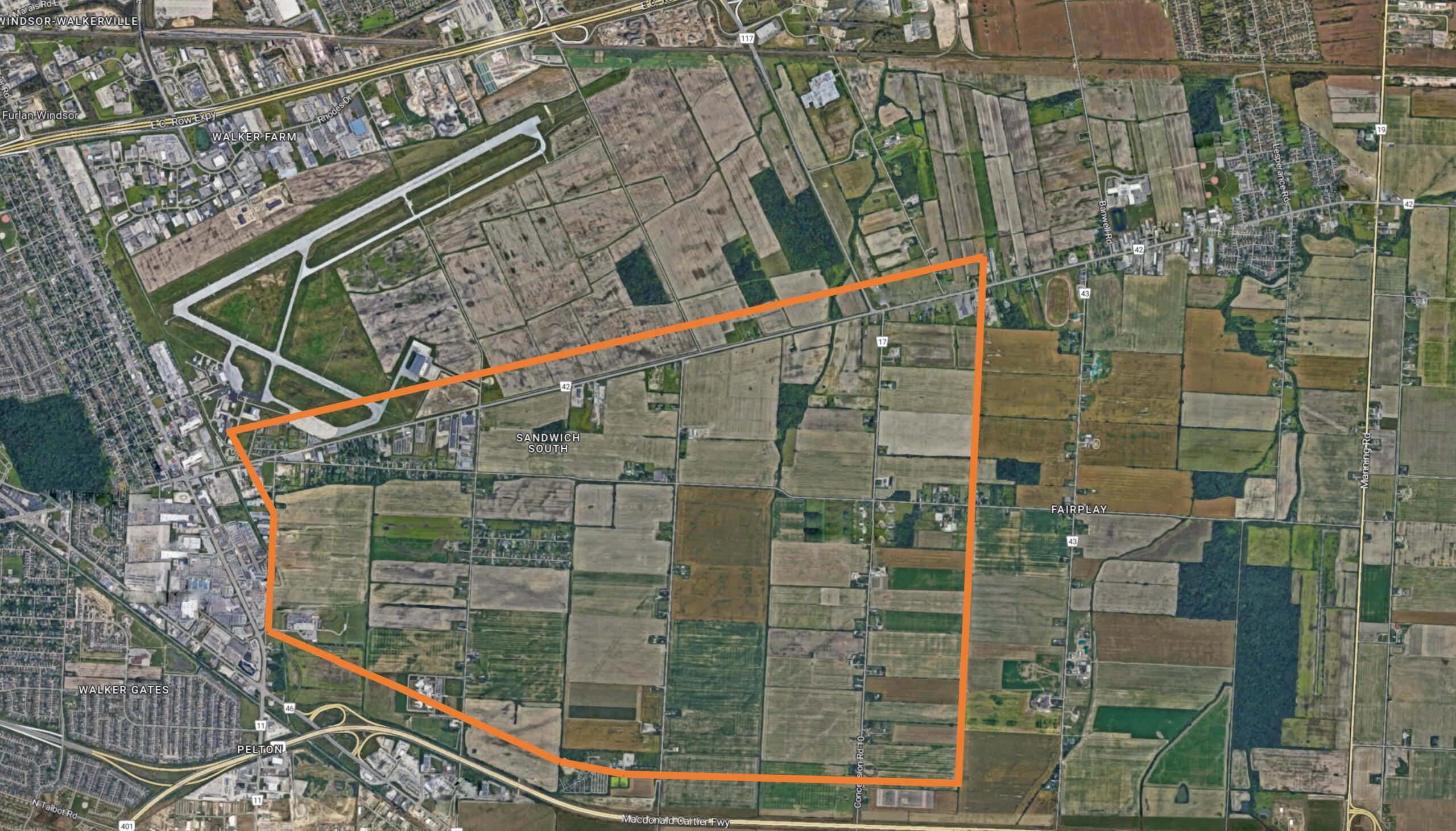
Sandwich South Sustainable Neighbourhood Action Plan (SNAP)
2022 – Present
Tewin Community
2019 - Present
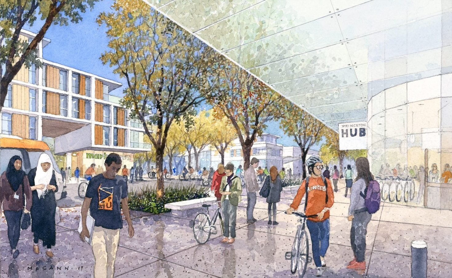
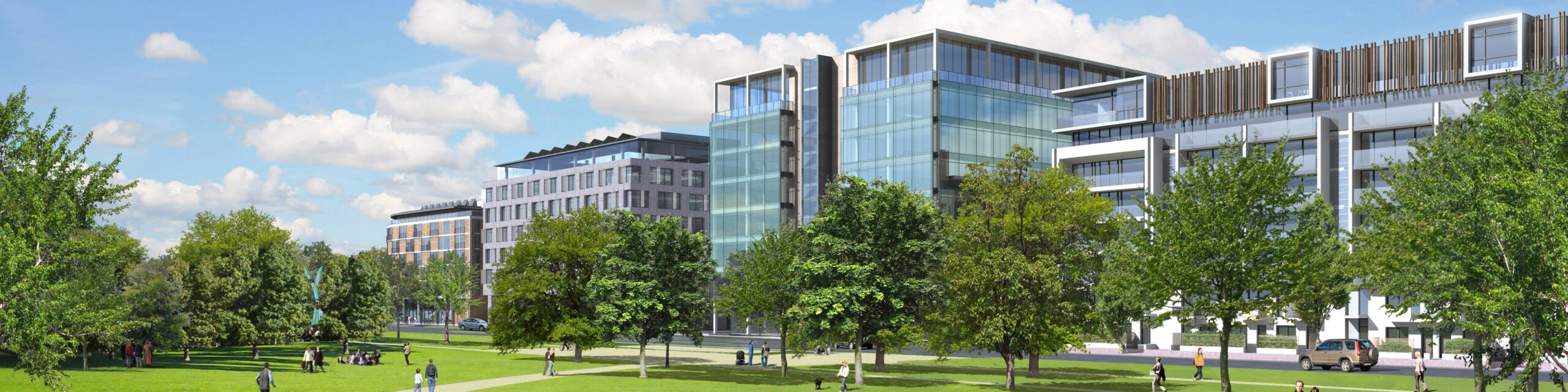
Princeton University 2026 Campus Plan
2014 - 2017
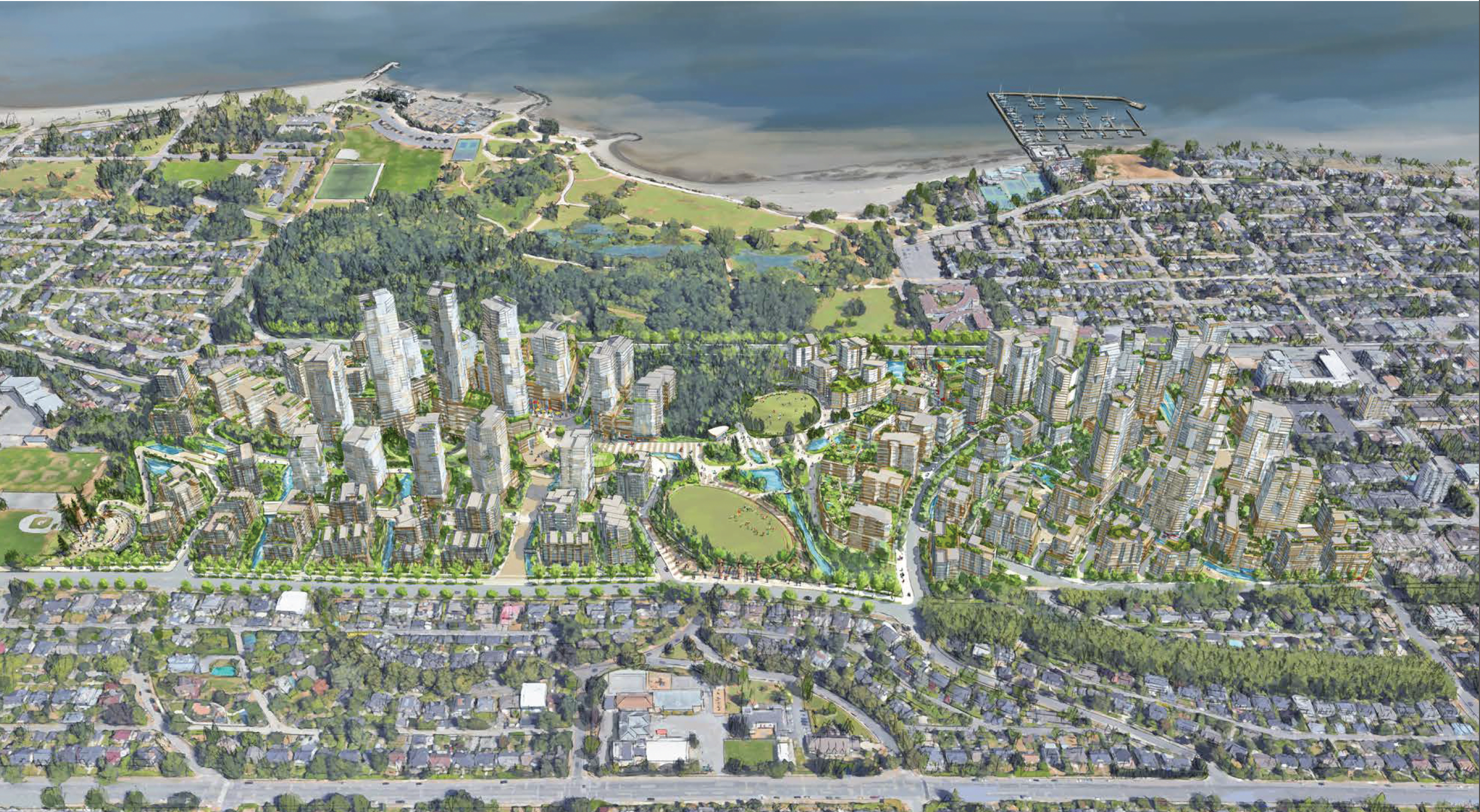
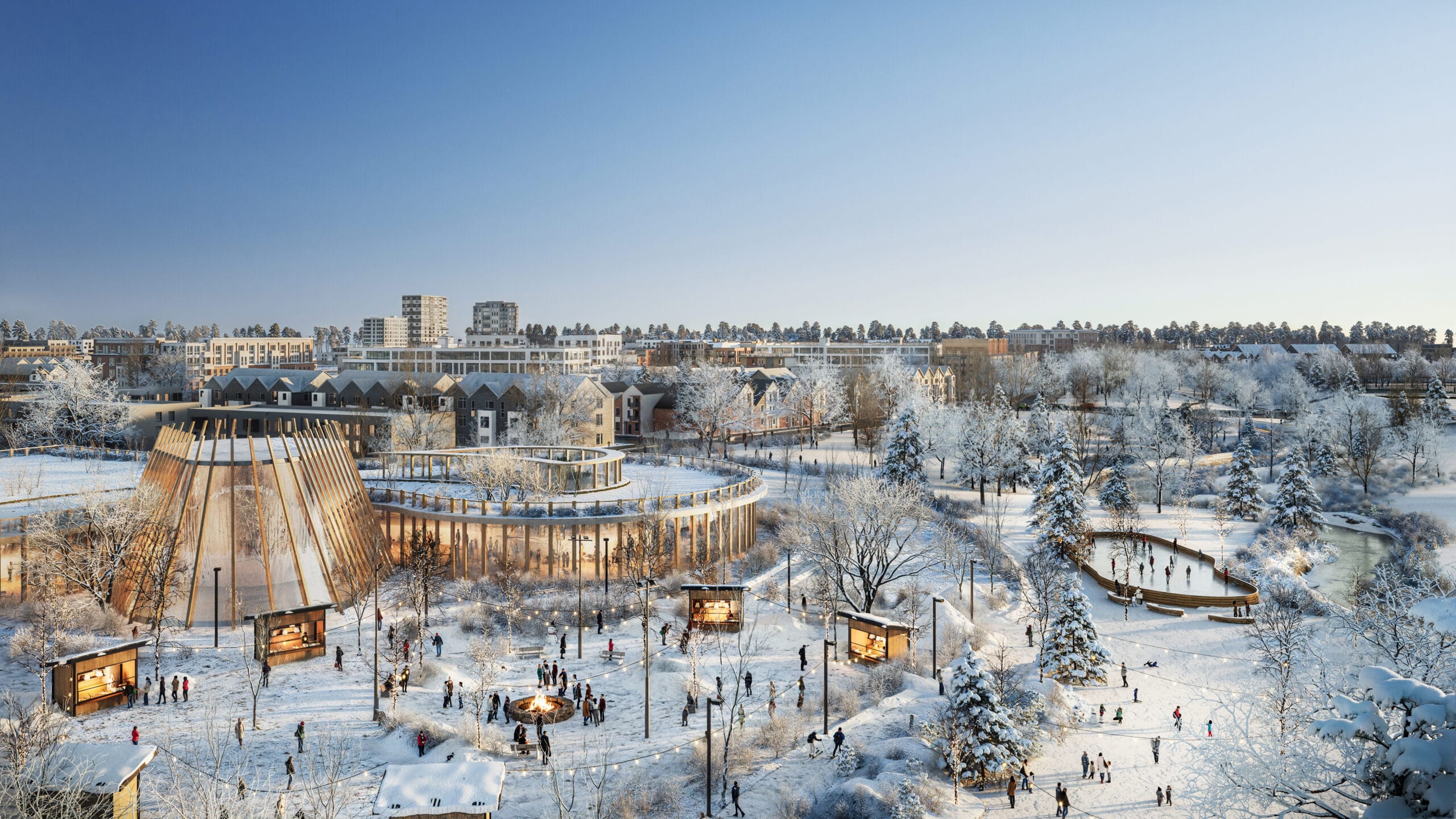
ʔəy̓alməxʷ/Iy̓álmexw/ Jericho Lands
2020 - 2024
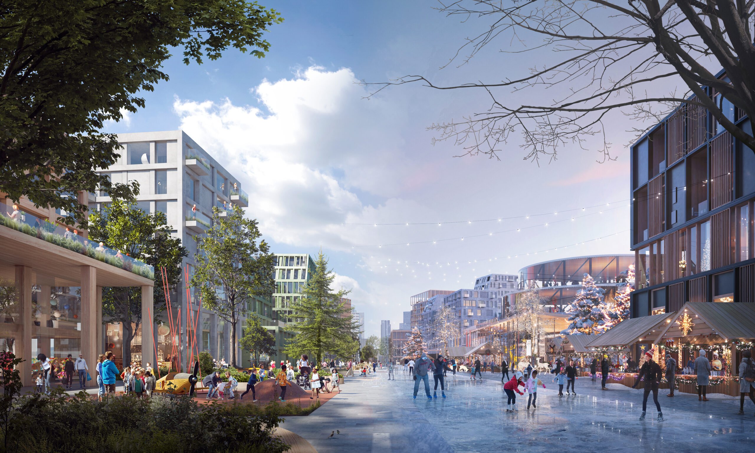
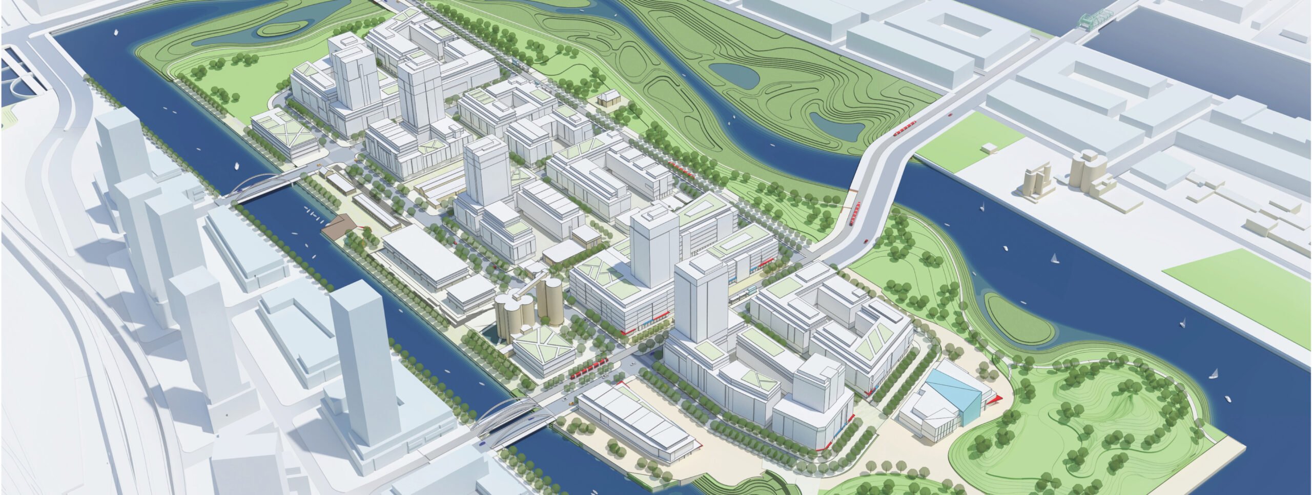
Downsview
2018 - Present
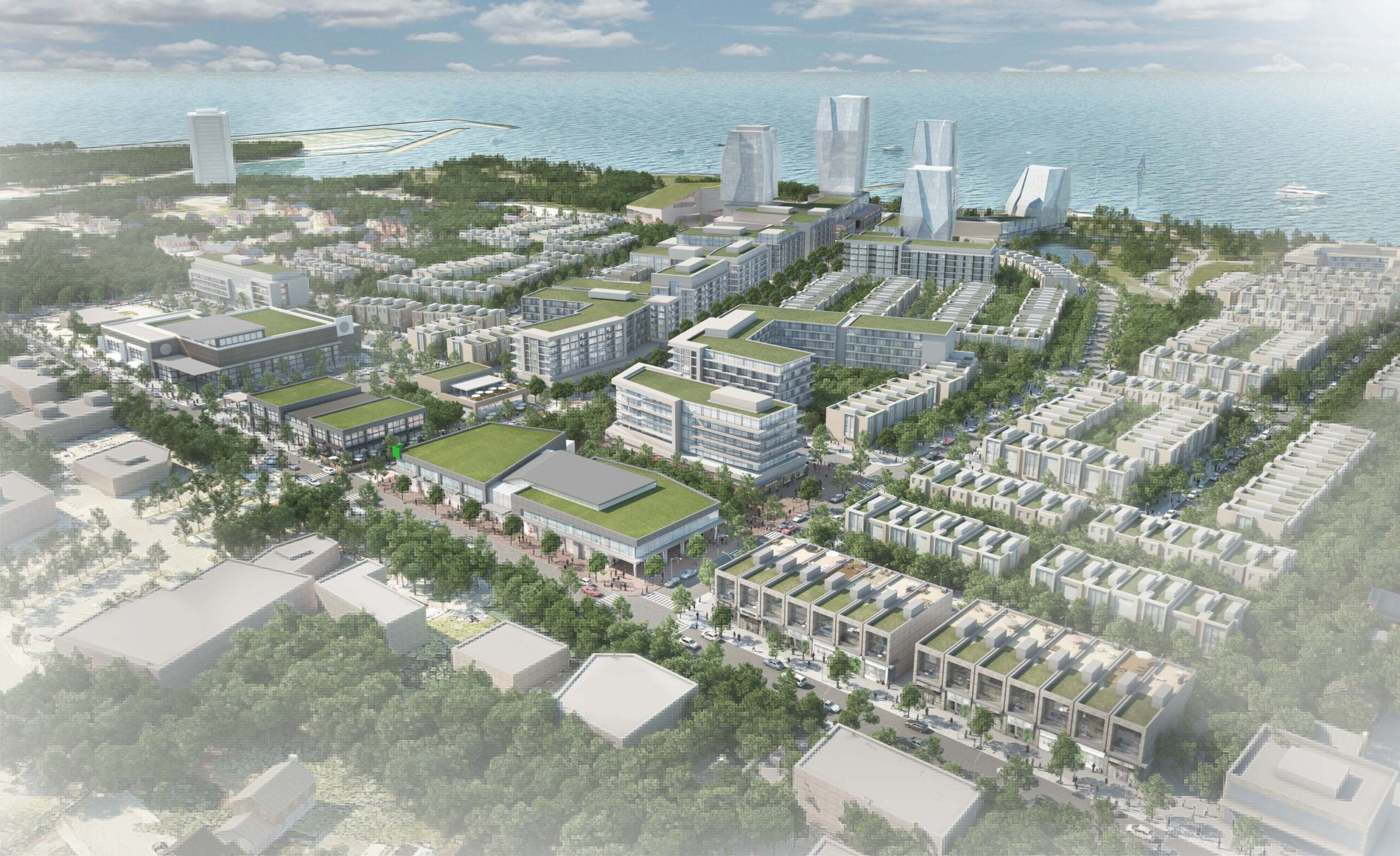
Port Credit West Village – Brightwater
2017 - Present
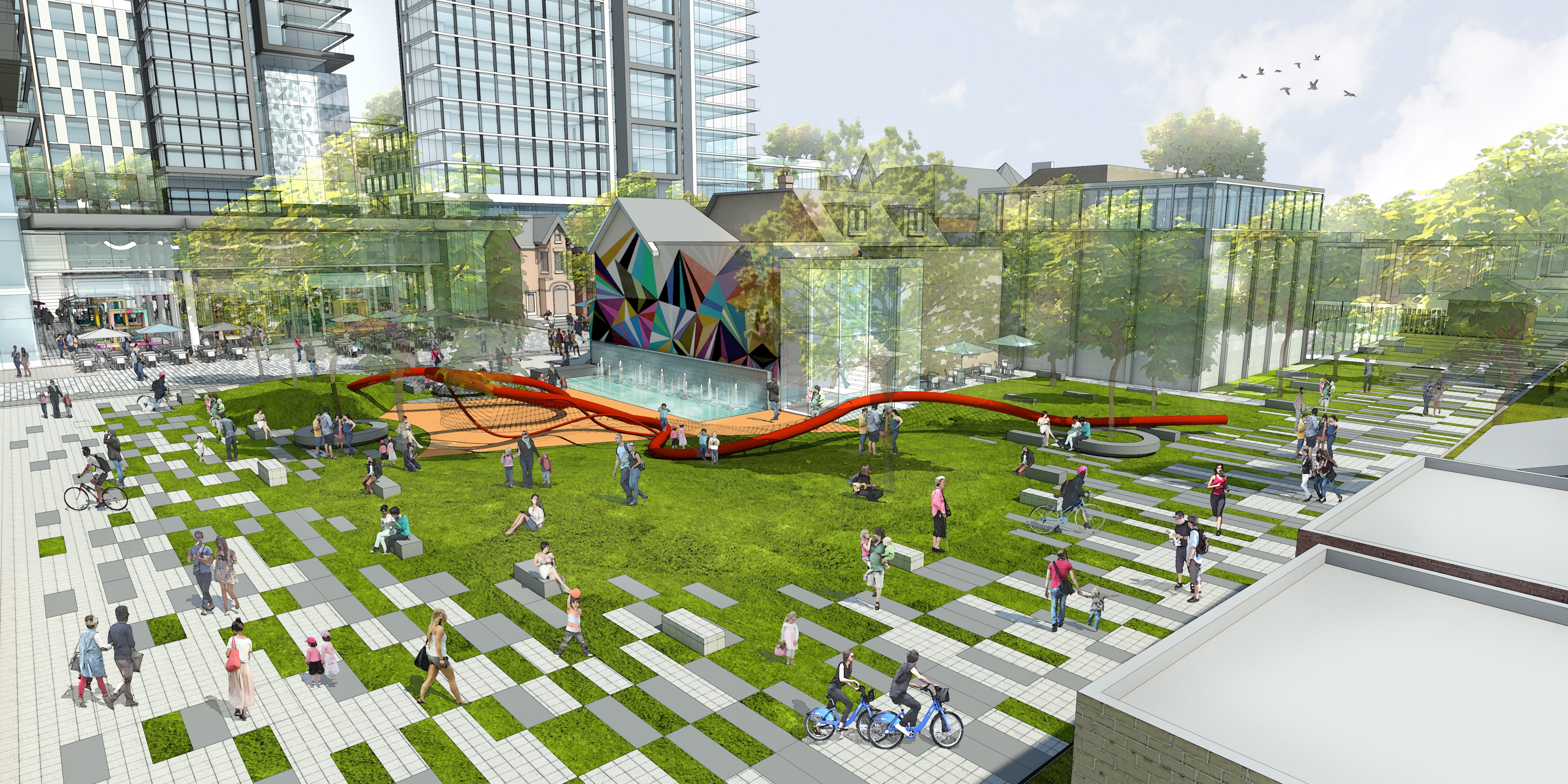
Bloor & Bathurst (Honest Ed’s)
2014 - 2017
Ookwemin Minising Precinct Plan
2013 - 2017
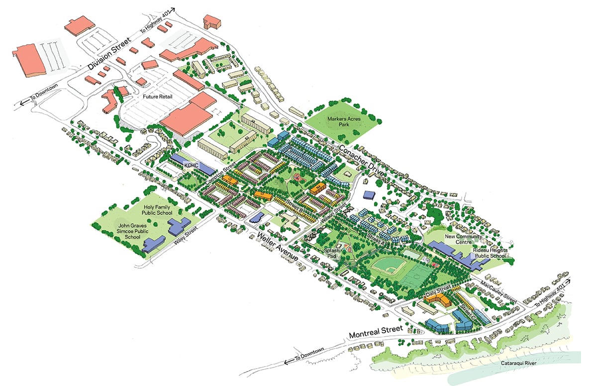
Rideau Heights Regeneration Strategy
2013 - 2015
Cork South Docklands Masterplan & Vision
2005 - 2008
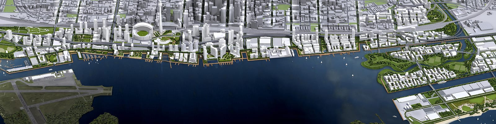
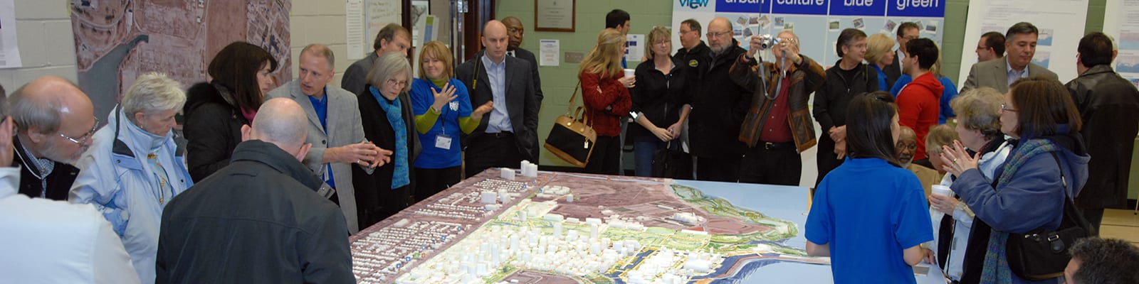
Toronto Waterfront Revitalization
2000 - Present
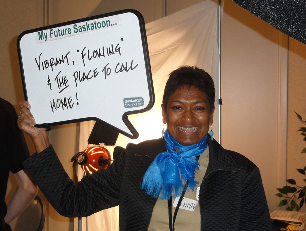
Saskatoon Community Visioning
2010 - 2012
Rebecca Street Redevelopment
2010 - 2013
Inspiration Lakeview
2010 - 2014
Buffalo Brownfields Opportunity Study
2006 - 2010
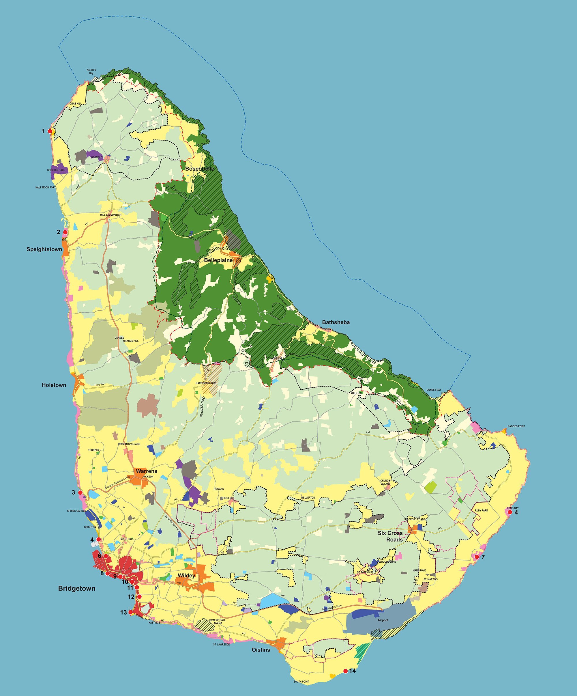
Barbados Physical Development Plan & Barbados National Park
1997 - 1998, 2001 - 2003, 2016 - 2017, 2021 - Present