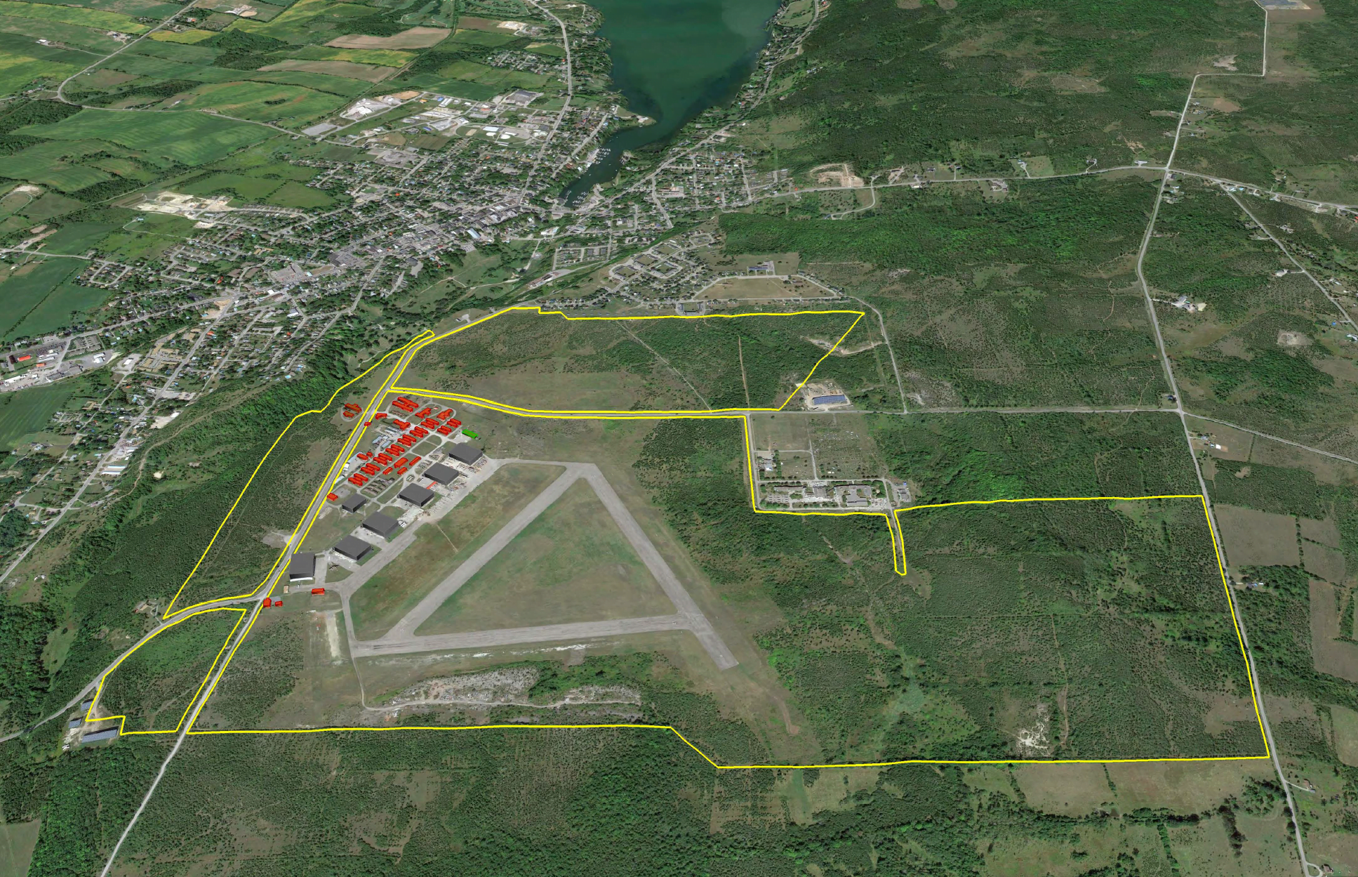
Base31 and Picton Airport Lands Revitalization
2021 - Present
A 300-acre development that catalyzes creative industry heritage adaptive reuse to launch a major residential expansion over the next 30 years.
Cities are complicated. We lead complex projects in cities all over the world. Clients benefit from fresh eyes and understanding of global best practices, with no preconceived approach or end solutions envisioned. We try and make the complicated simple.
Filter
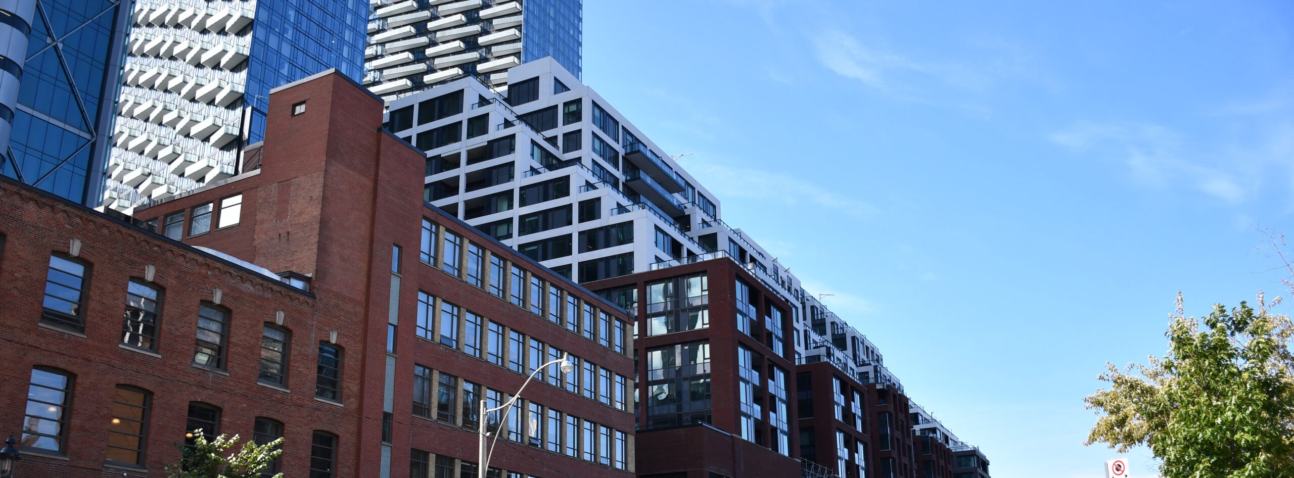
The Well
2008 - 2020
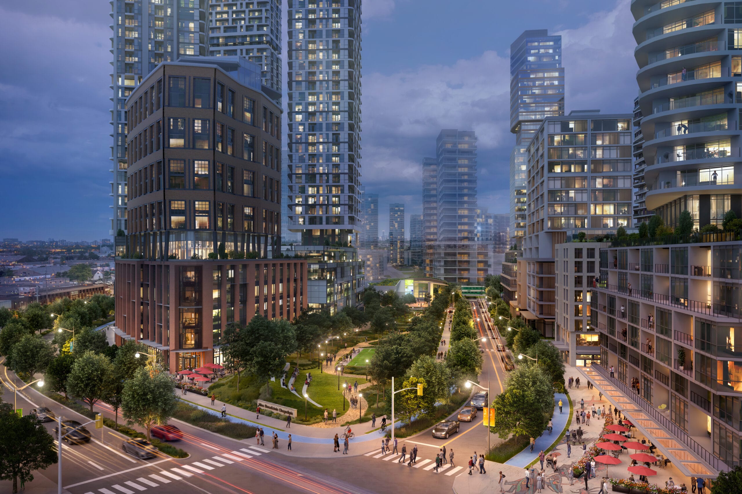
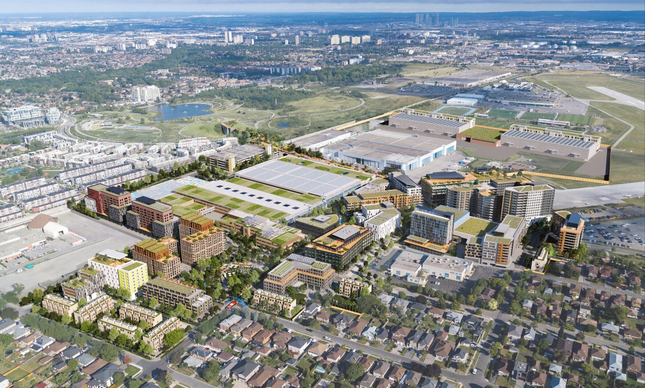
Downsview West District
2020 - Present
Singapore
2009 - 2013
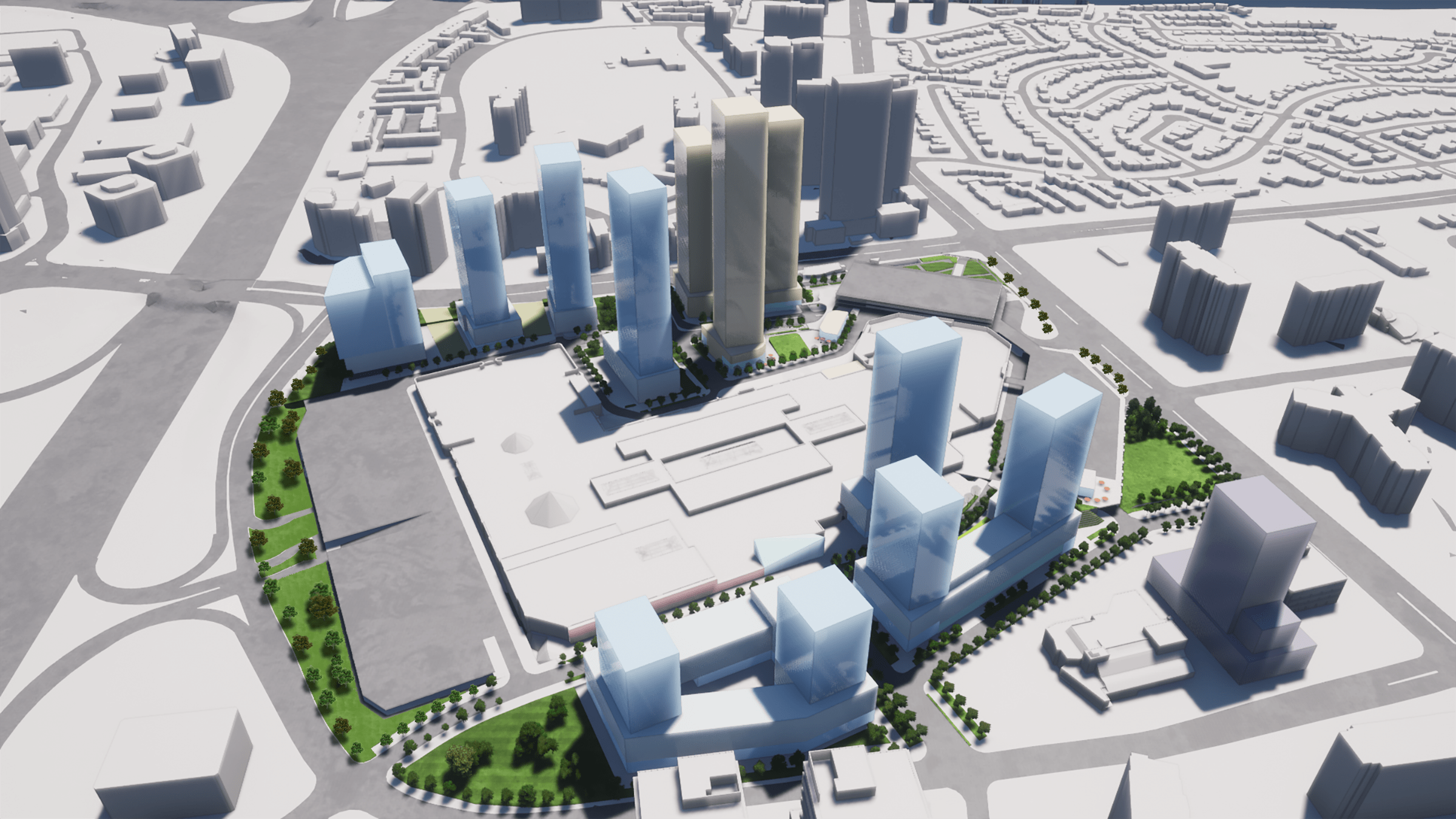
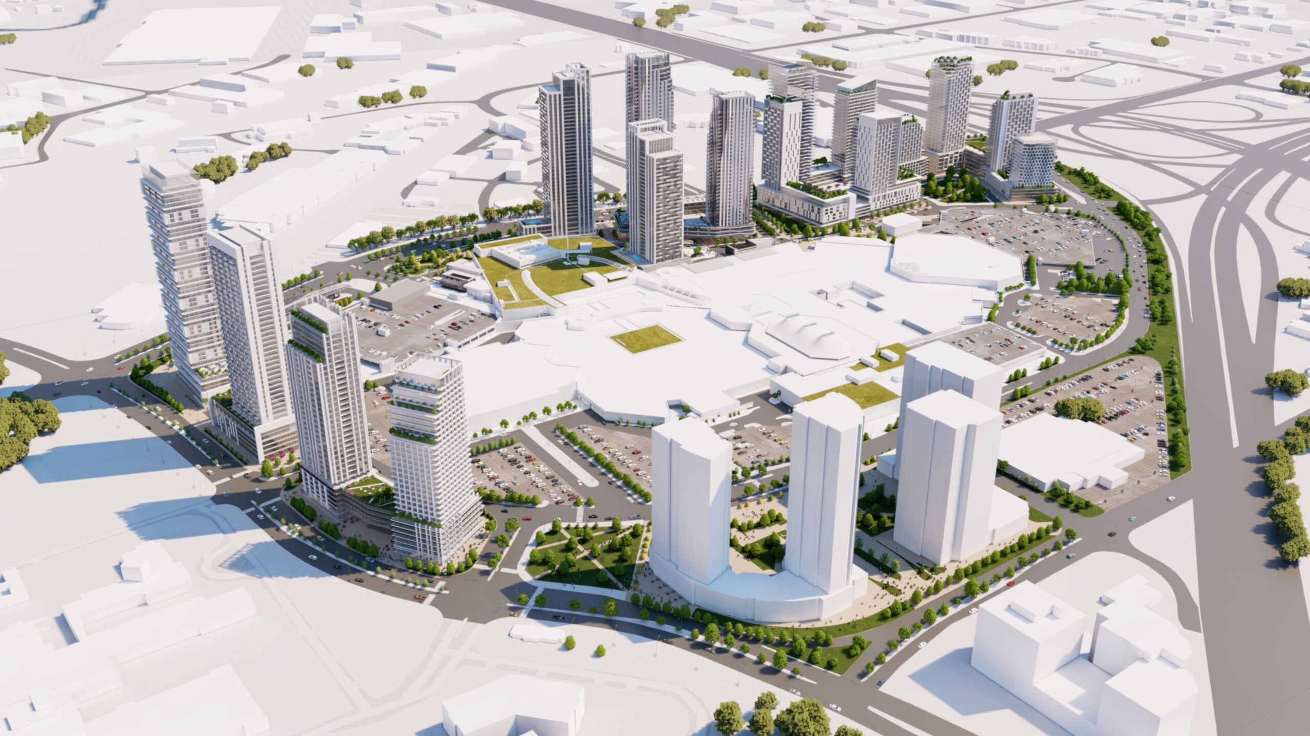
CF Fairview Mall Intensification
2020 - Present
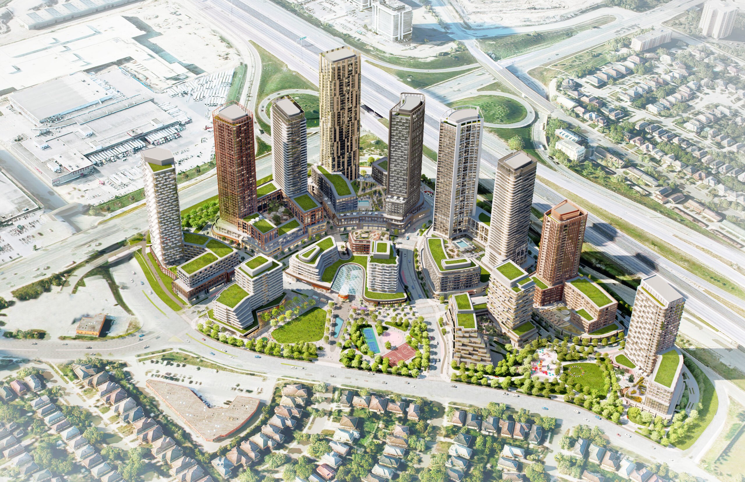
Cloverdale Mall Master Plan
2018 - Present
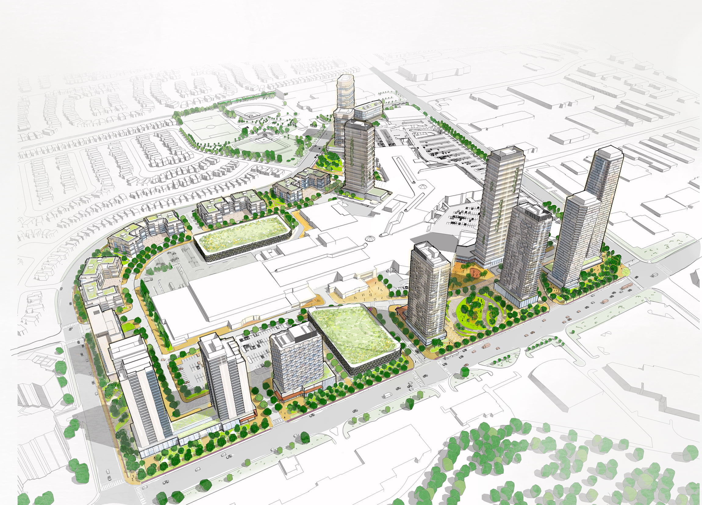
CF Markville Mall Master Plan
2022 – Present
Tewin Community
2019 - Present
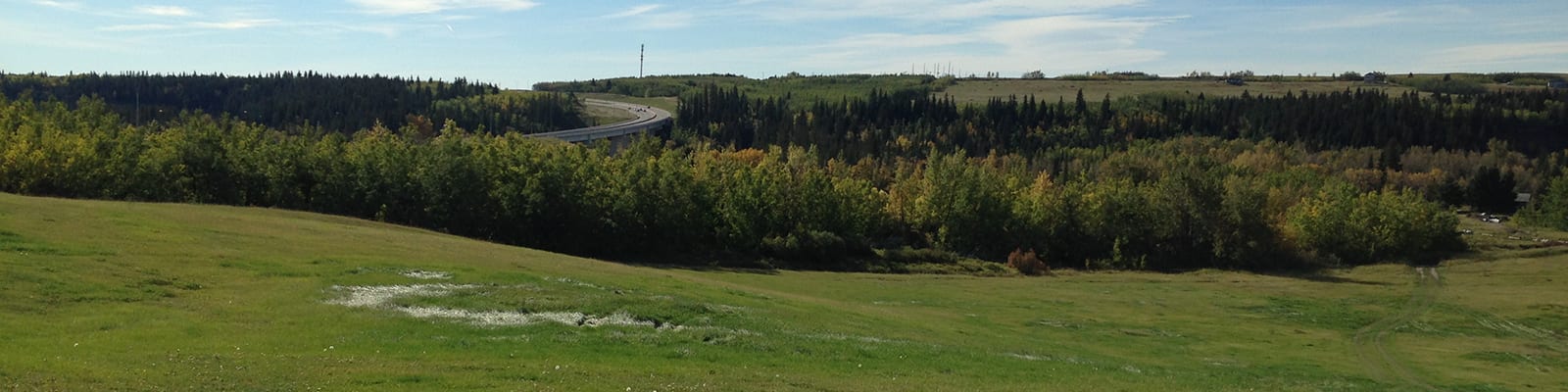
Base31 and Picton Airport Lands Revitalization
2021 - Present
CF Sherway Gardens Mall Intensification
2020 - Present
Downsview Hangar District
2020 - Present
Kingsway Edmonds Redevelopment
2020 - Present
Surrey Centre Block Master Plan
2018 - 2019
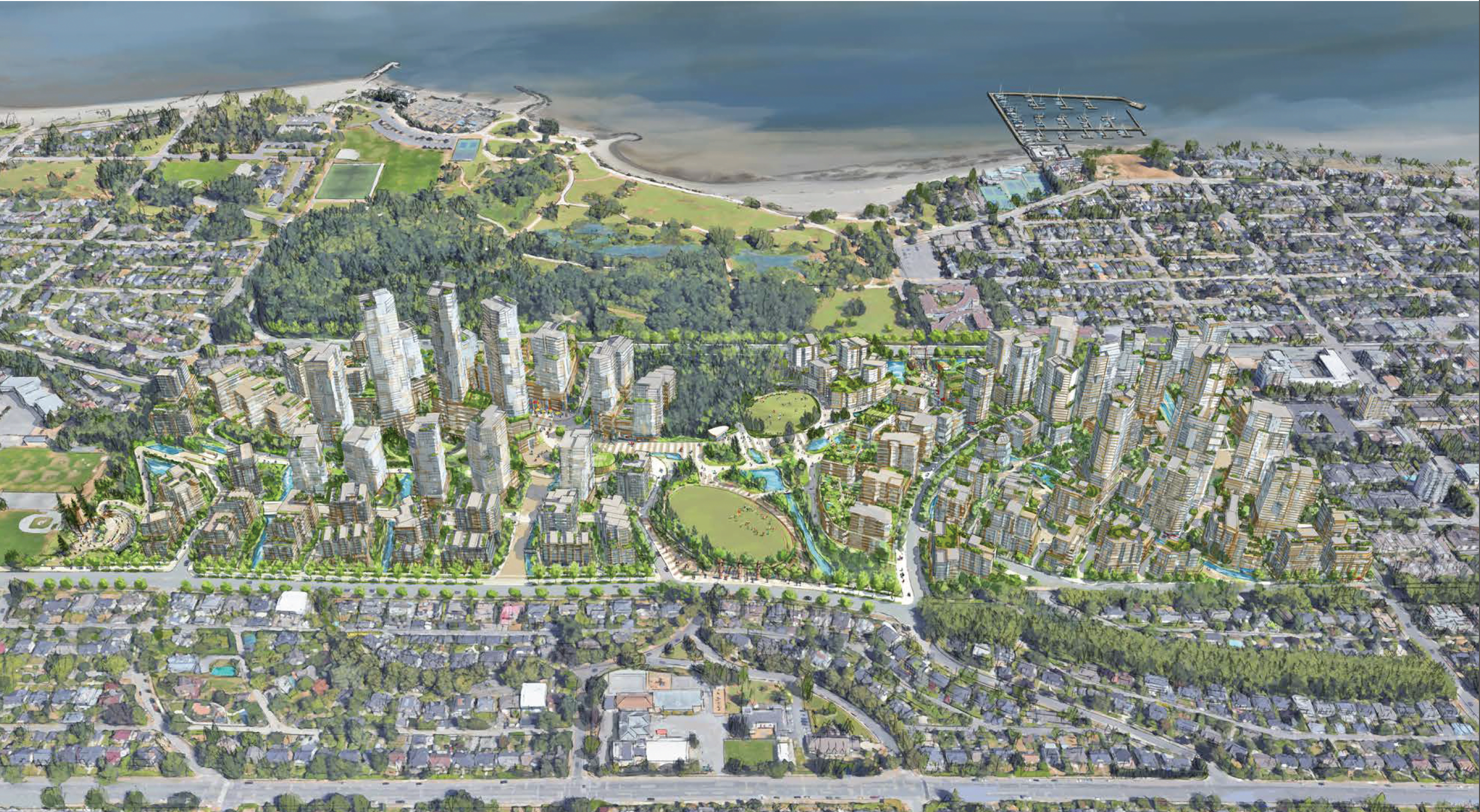
ʔəy̓alməxʷ/Iy̓álmexw/ Jericho Lands
2020 - 2024
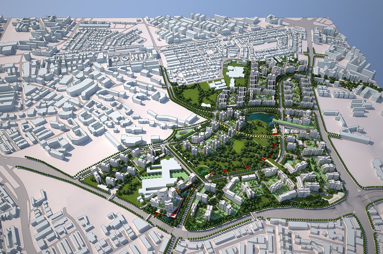
Downsview
2018 - Present
2150 Lake Shore – Christie Cookies Site
2014 - Present
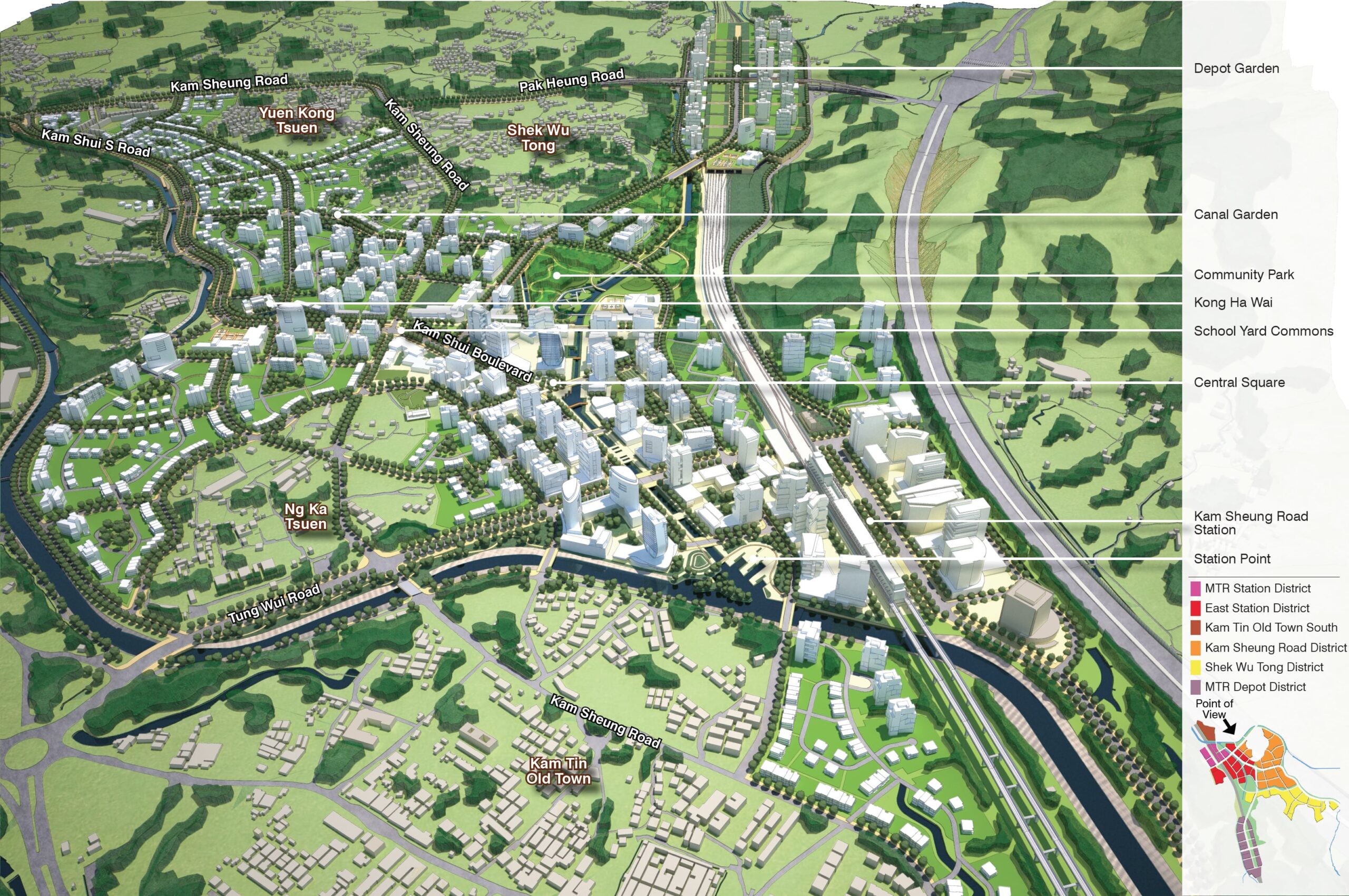
Kam Sheung Road Area OZP
2012 - 2017
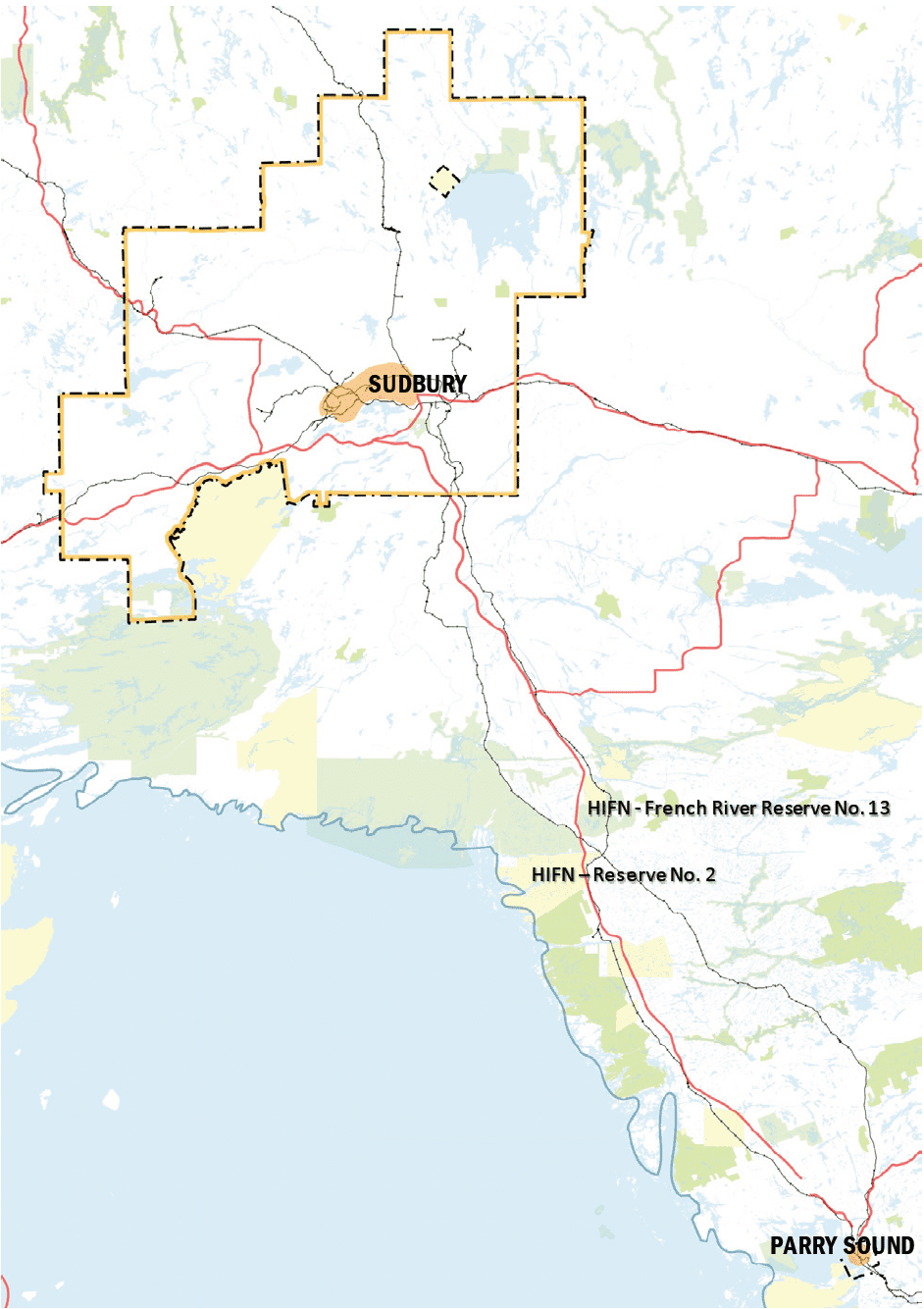
Highway 69 Planning and Market Assessment
2017 - 2018
Parkside Village – Mississauga City Centre
2003 - 2005
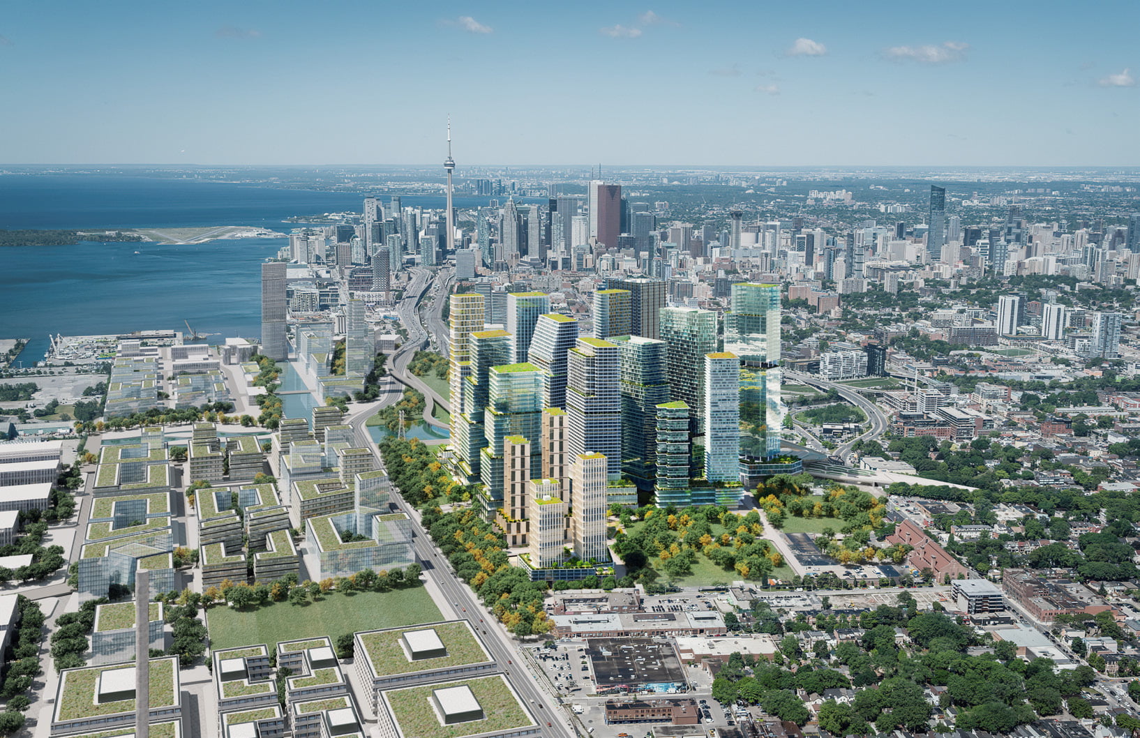
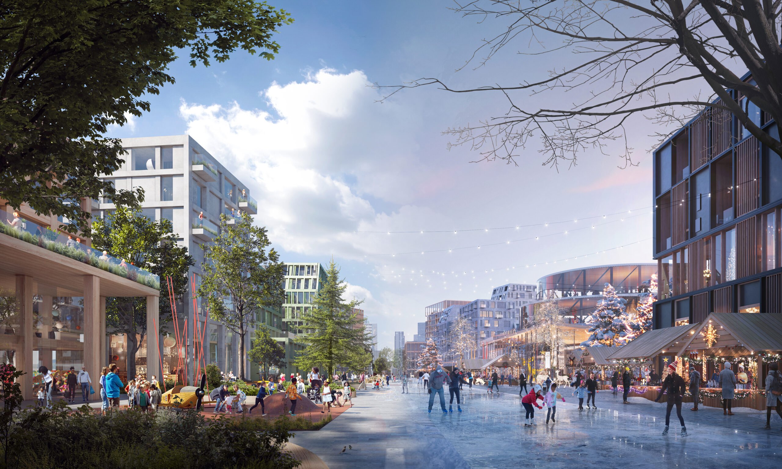
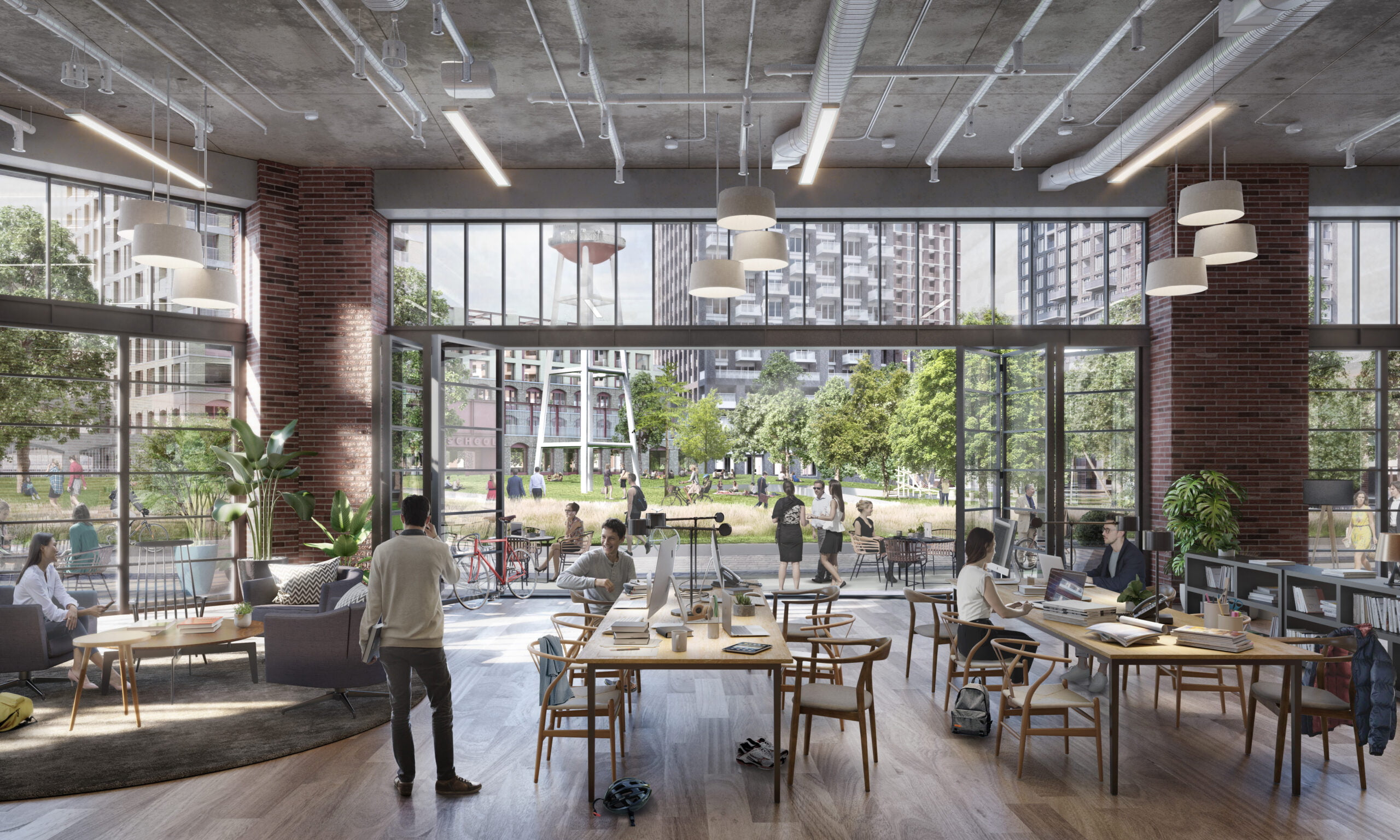
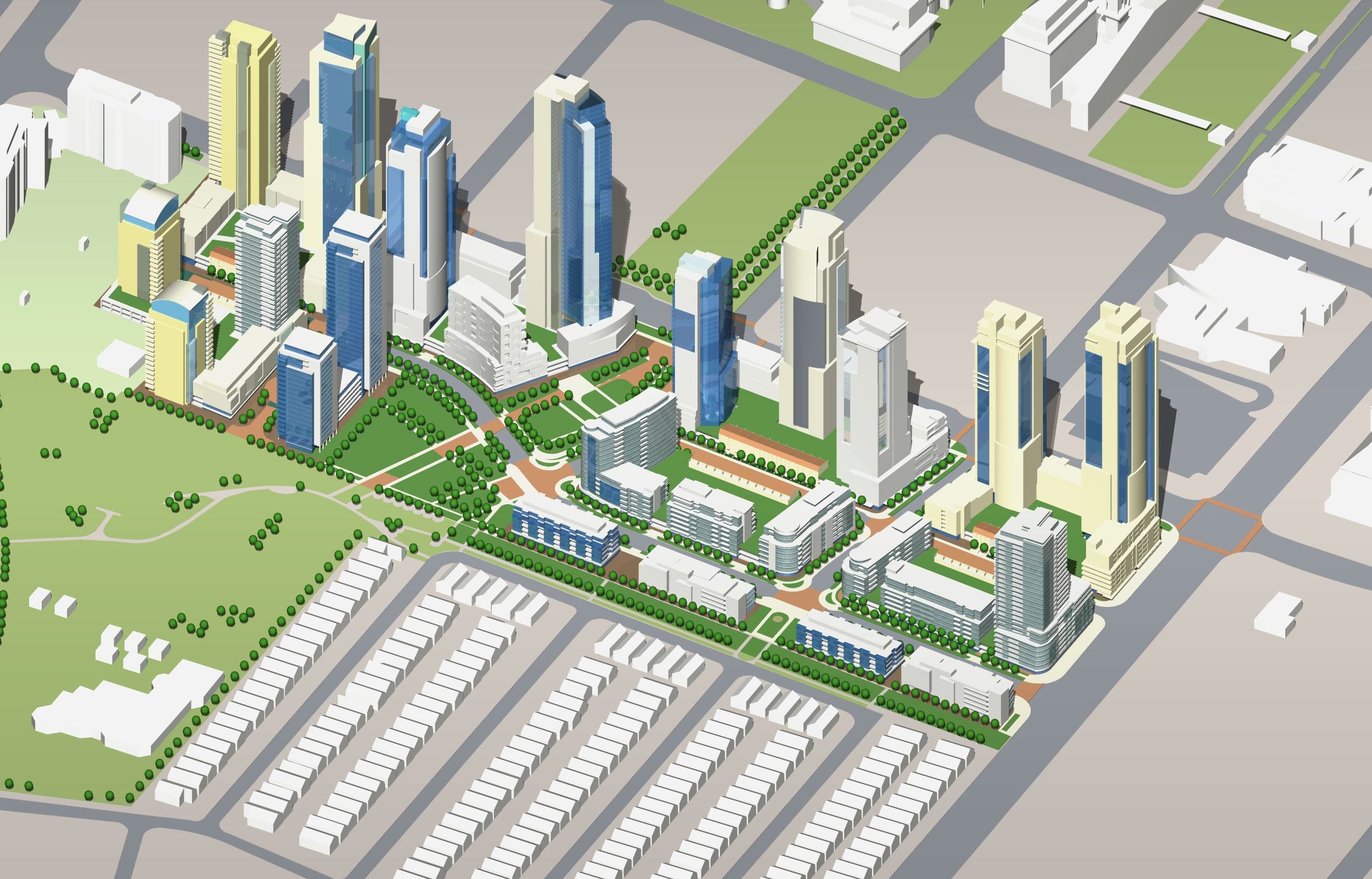
East Harbour
2017 - Present
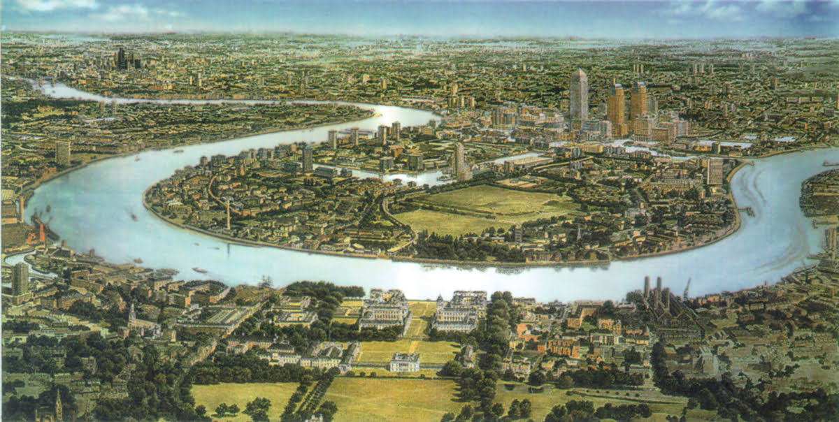
Canary Wharf
1988 - 1991
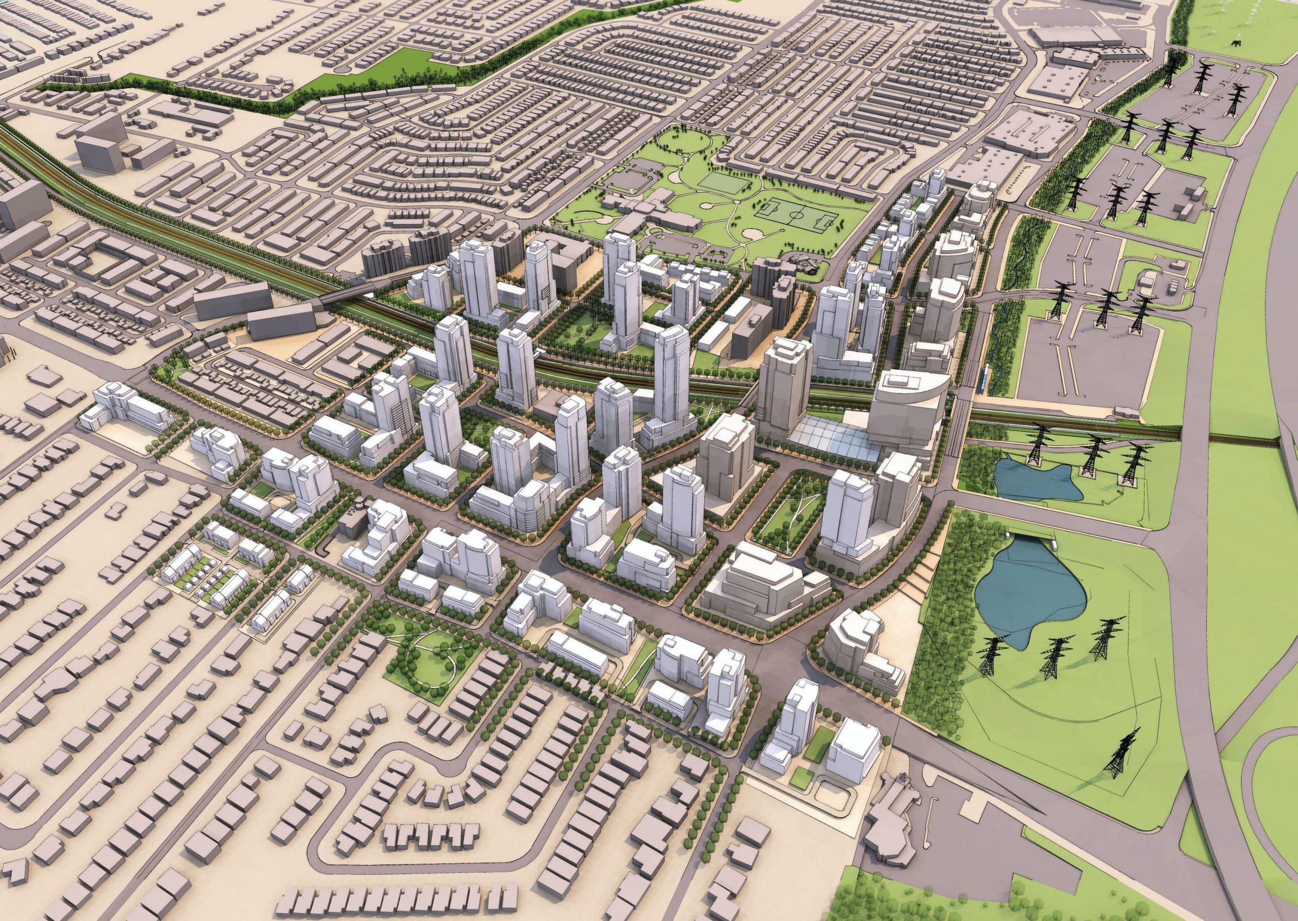
Taza Development
2015 - 2016
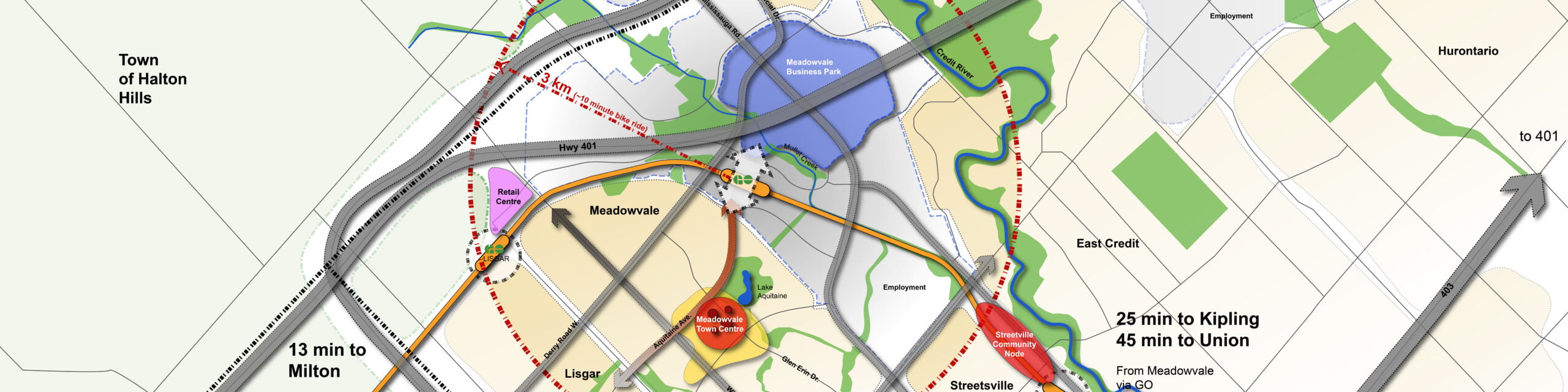
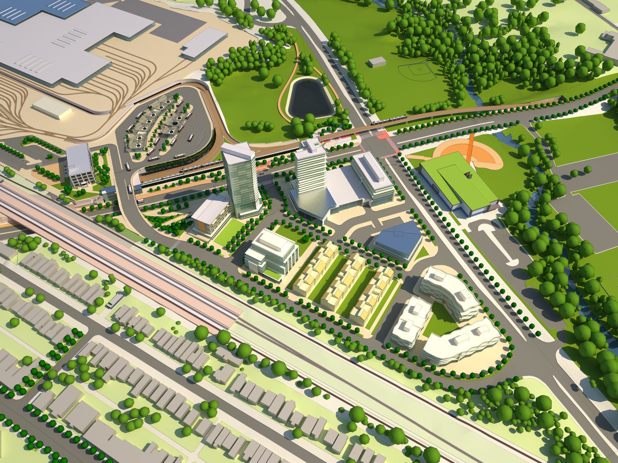
Meadowvale GO Station Area Plan and Joint Development Study
2014 - Present
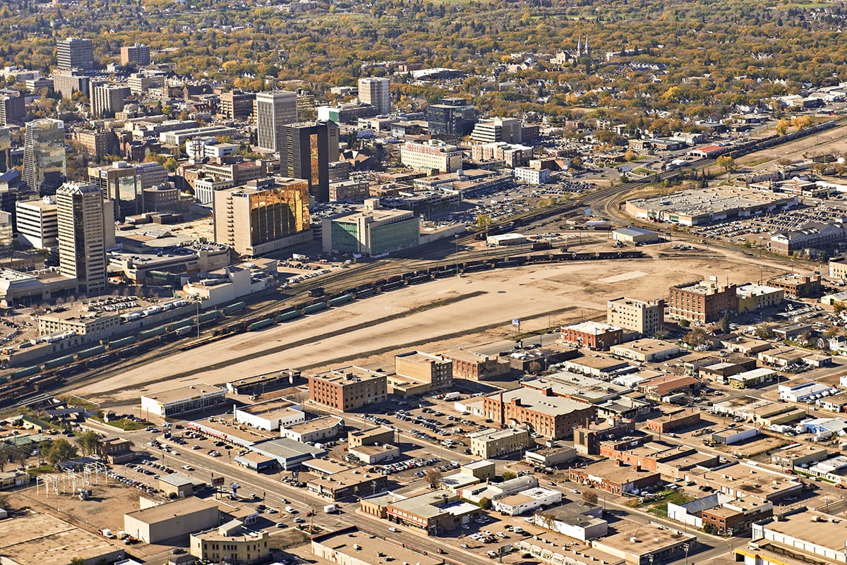
Regina Railyard Renewal Project
2015 - 2018
Ookwemin Minising Precinct Plan
2013 - 2017
Bathurst Quay Neighbourhood Plan
2014 - 2016
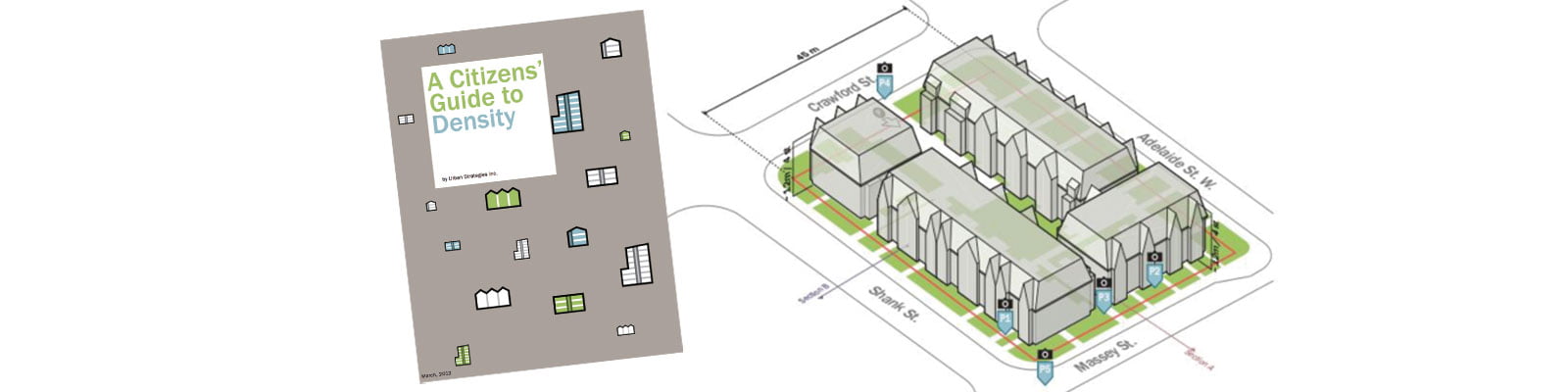
A Citizen’s Guide to Density
2010 - 2011
Richmond Hill Regional Centre Study
2008 - 2010, 2012 - 2021
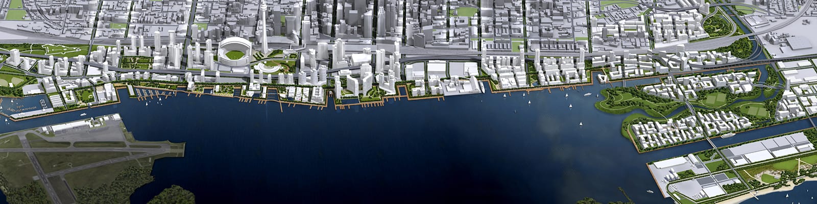
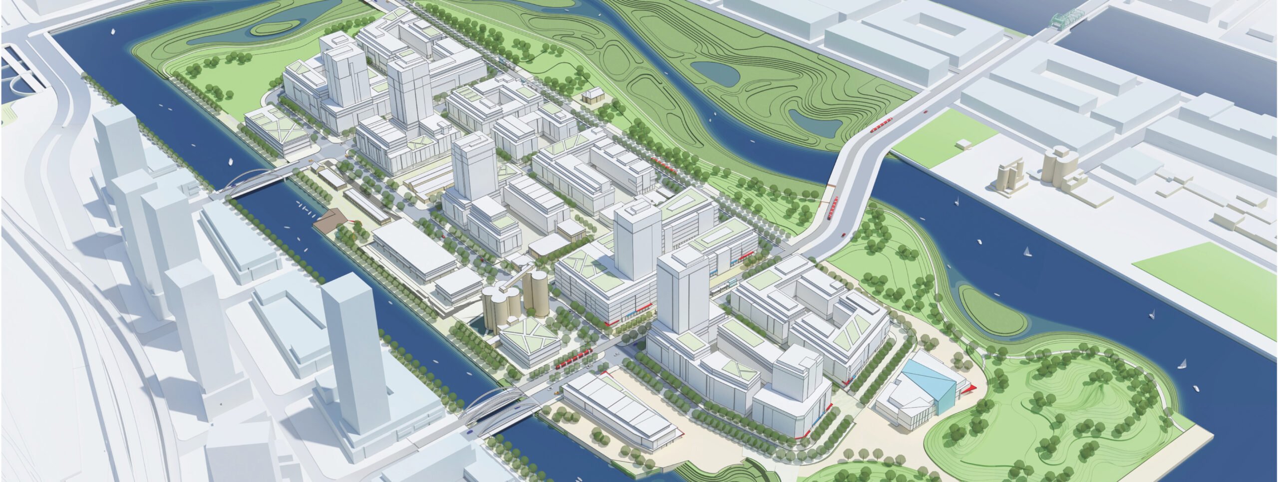
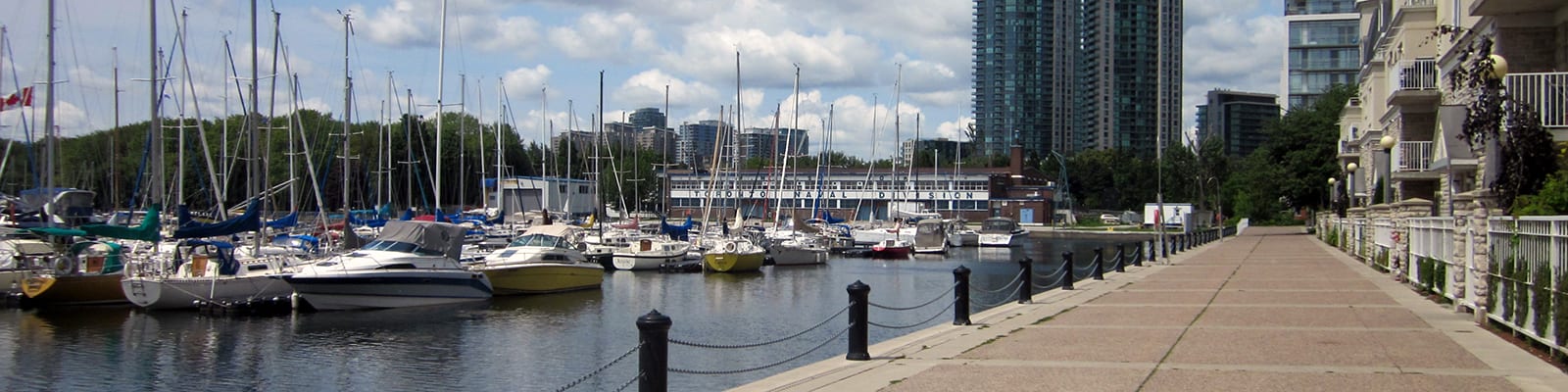
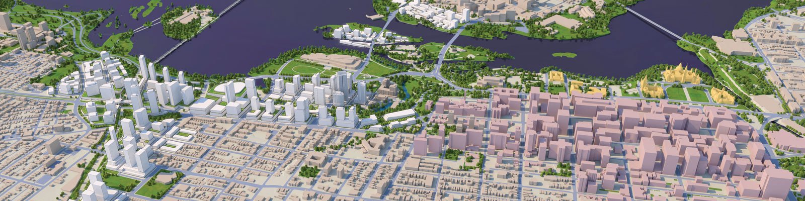
Toronto Waterfront Revitalization
2000 - Present
Mount Dennis Mobility Hub
2012 - 2015
City of Ottawa
2002