Brooklyn Bridge Park Master Plan
1999 - 2000
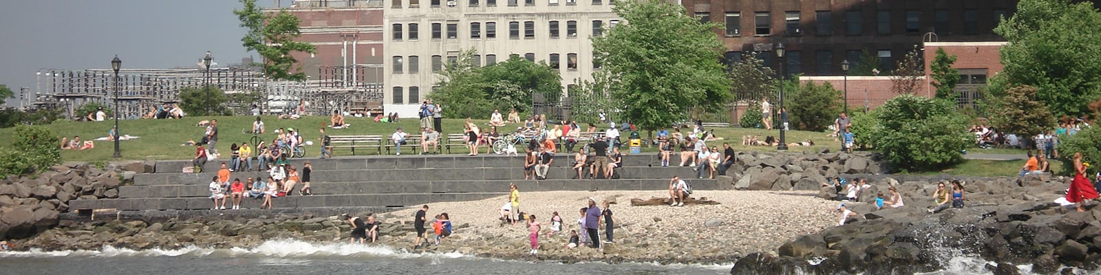
Urban Strategies developed the Master Plan for Brooklyn Bridge Park, an 85‐acre sustainable waterfront park stretching 1.3 miles along Brooklyn’s East River shoreline.
Cities are complicated. We lead complex projects in cities all over the world. Clients benefit from fresh eyes and understanding of global best practices, with no preconceived approach or end solutions envisioned. We try and make the complicated simple.
Filter
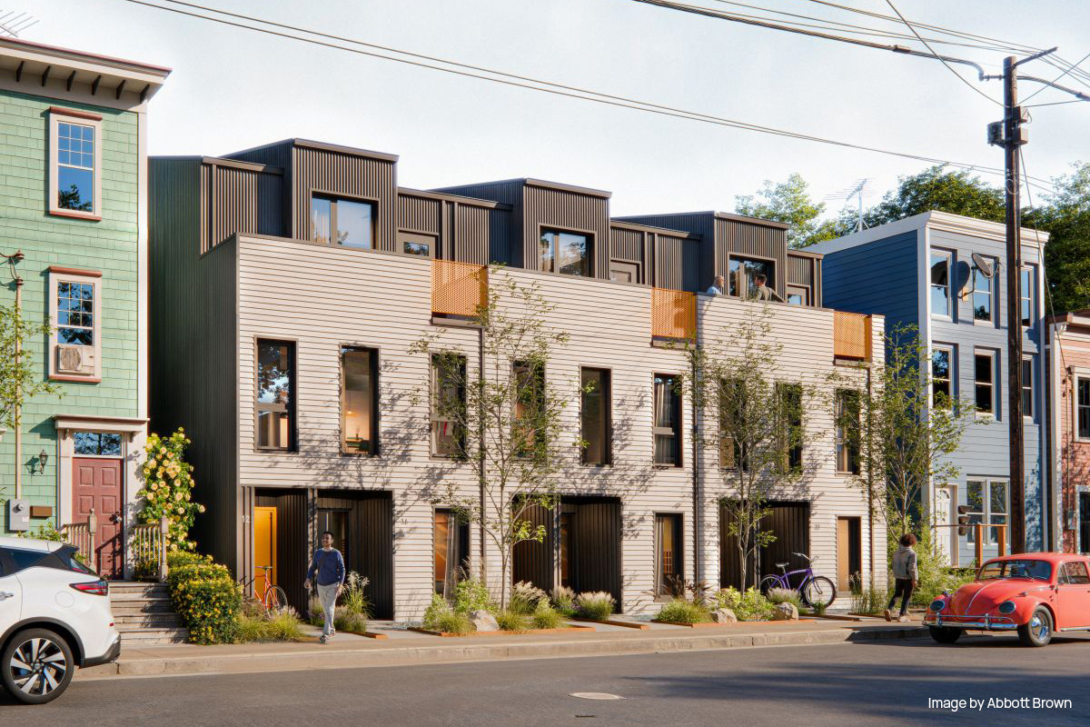
CMHC Low-Rise Housing Design Catalogue
2024 - 2025
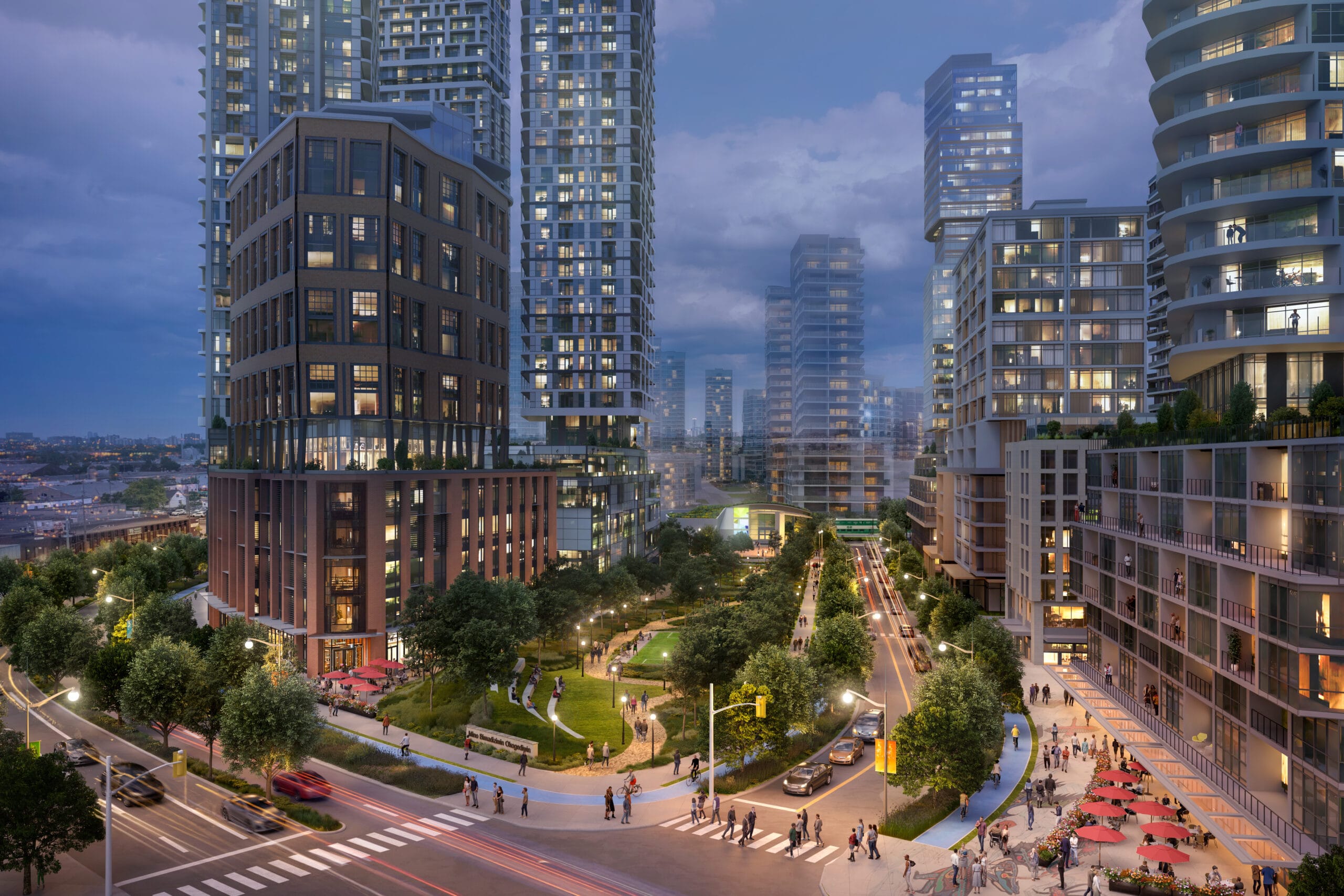
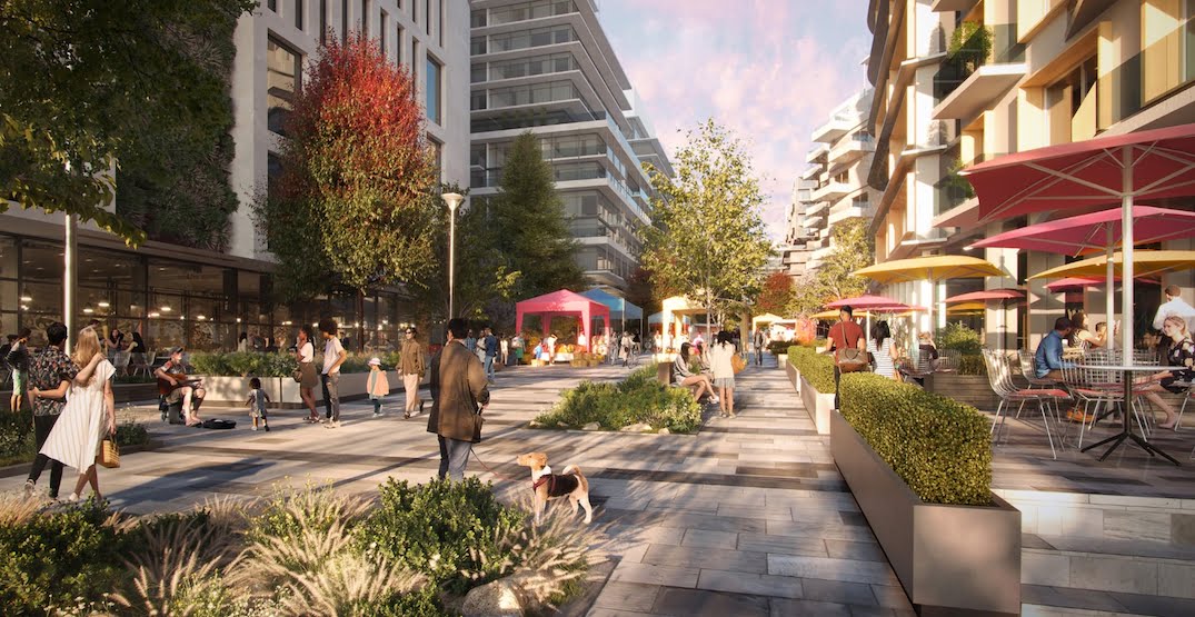
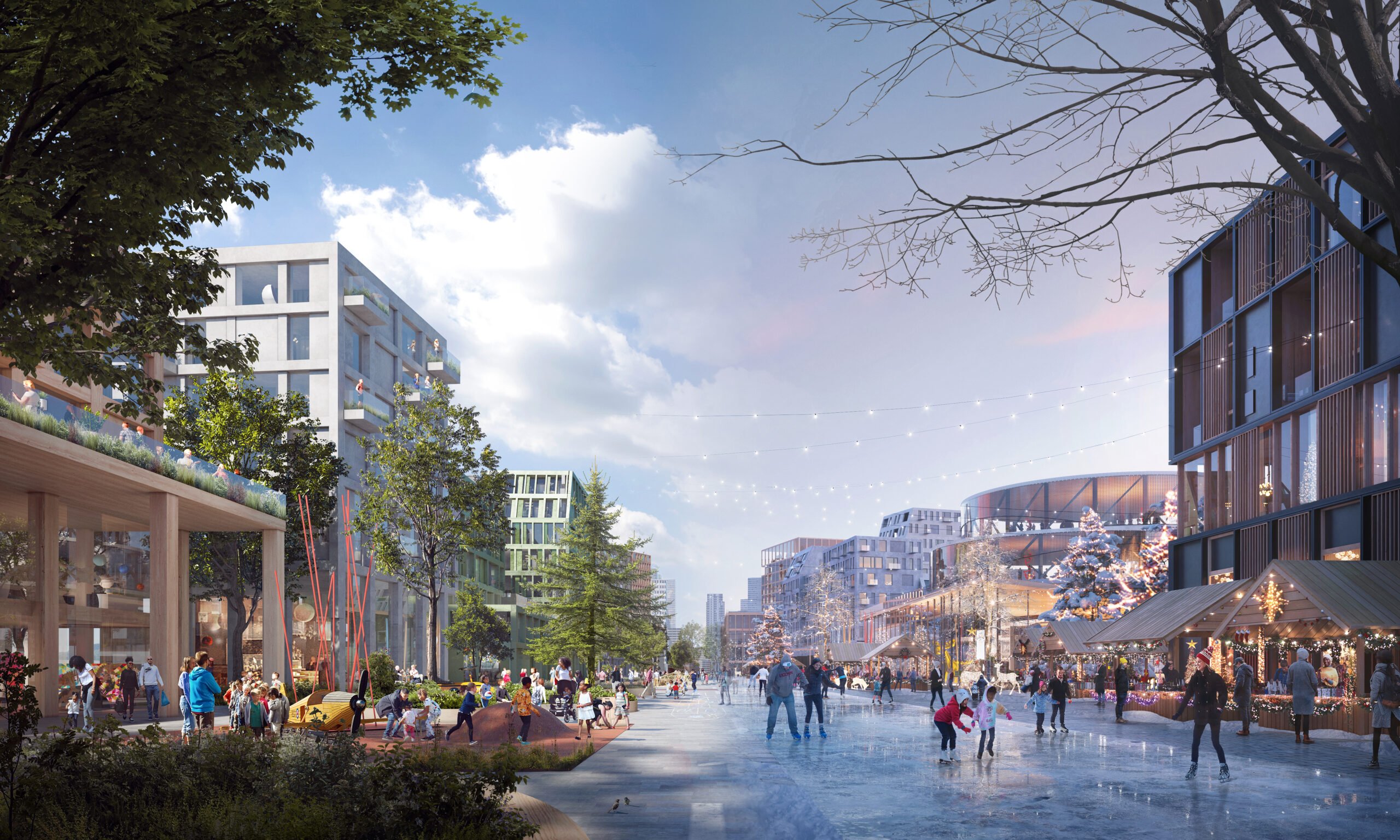
Downsview West District
2020 - Present
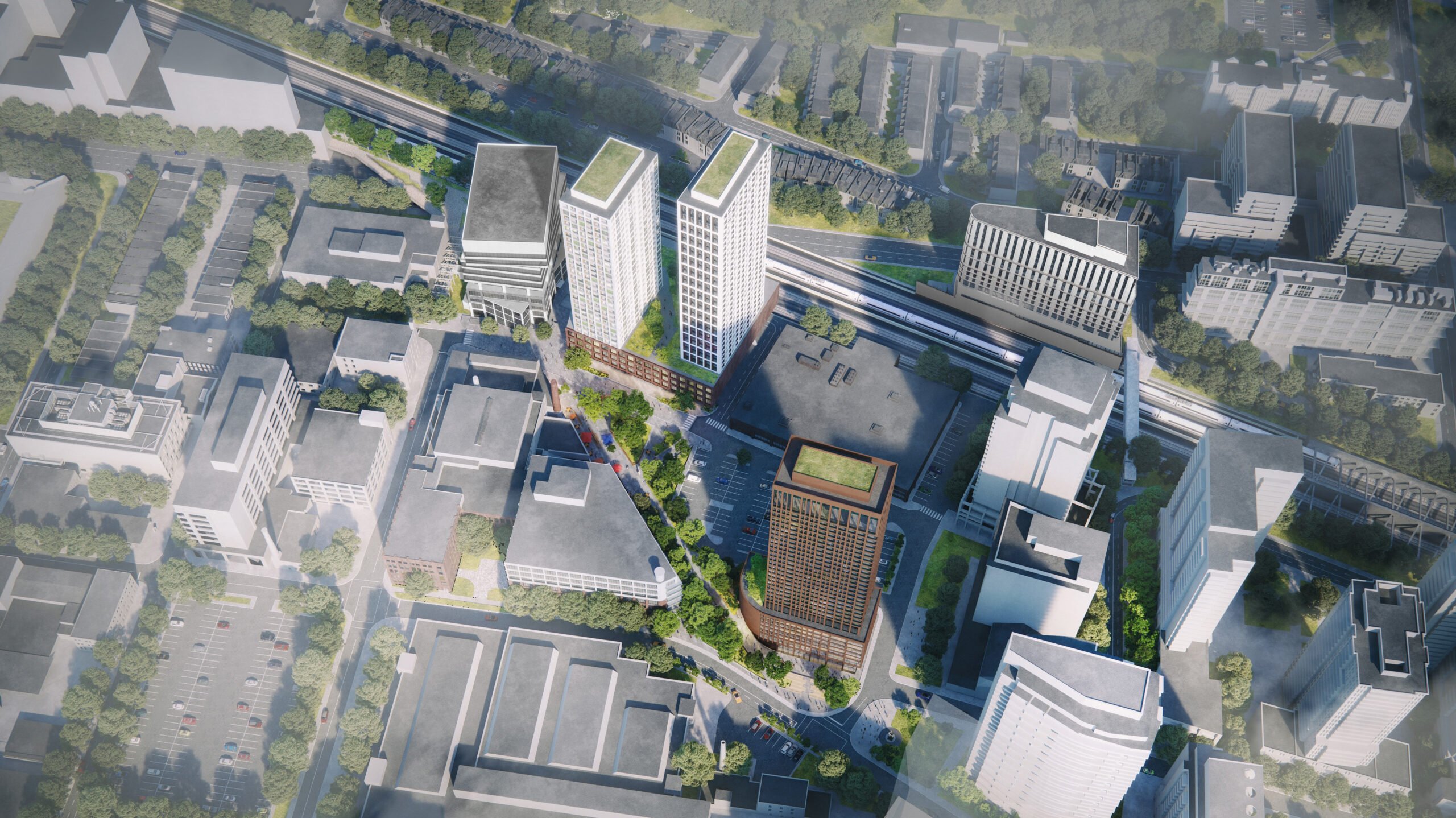
Tartan Downs Development
2020
Singapore
2009 - 2013
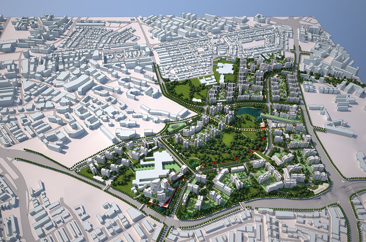
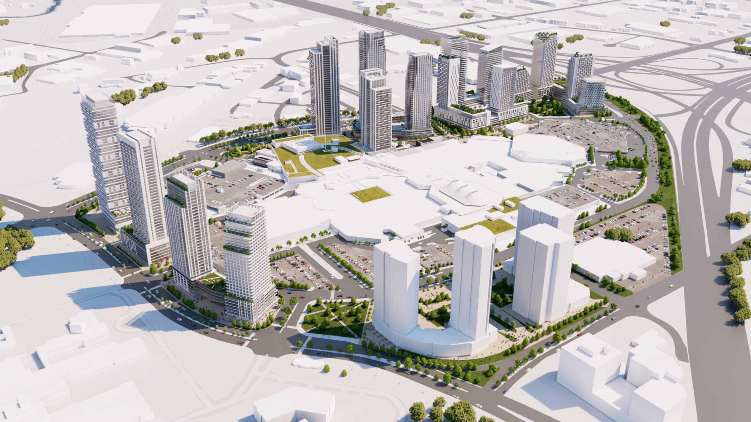
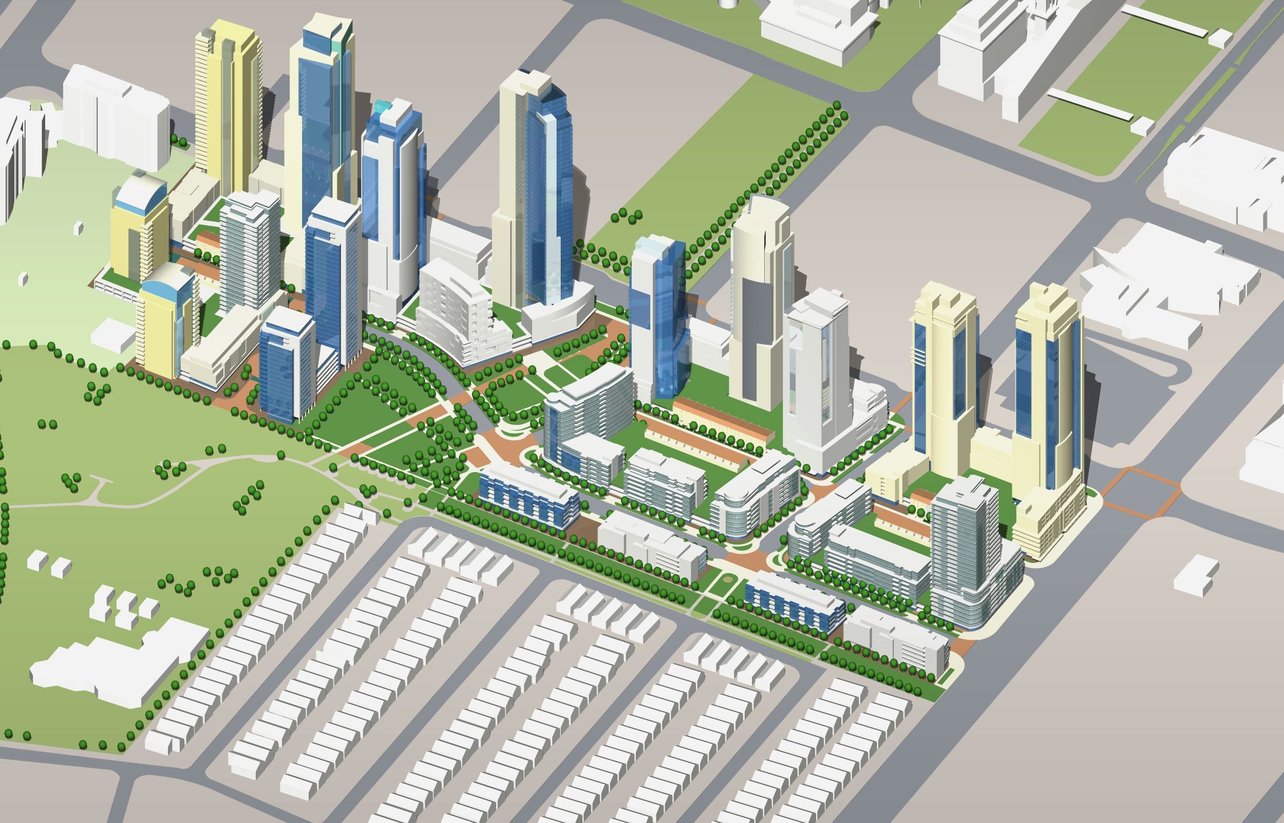
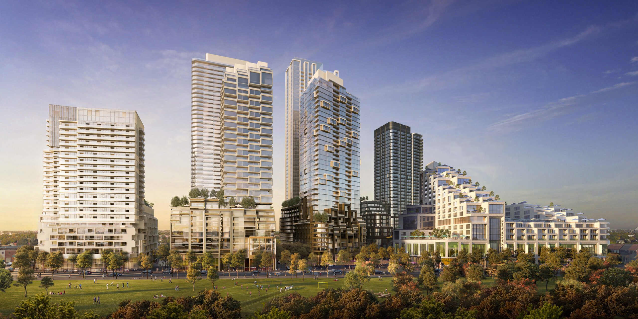
CF Fairview Mall Intensification
2020 - Present
Davenport Diamond Rail Overpass
2014 - 2016
Markham Age Friendly Design Guidelines
2021 - 2022
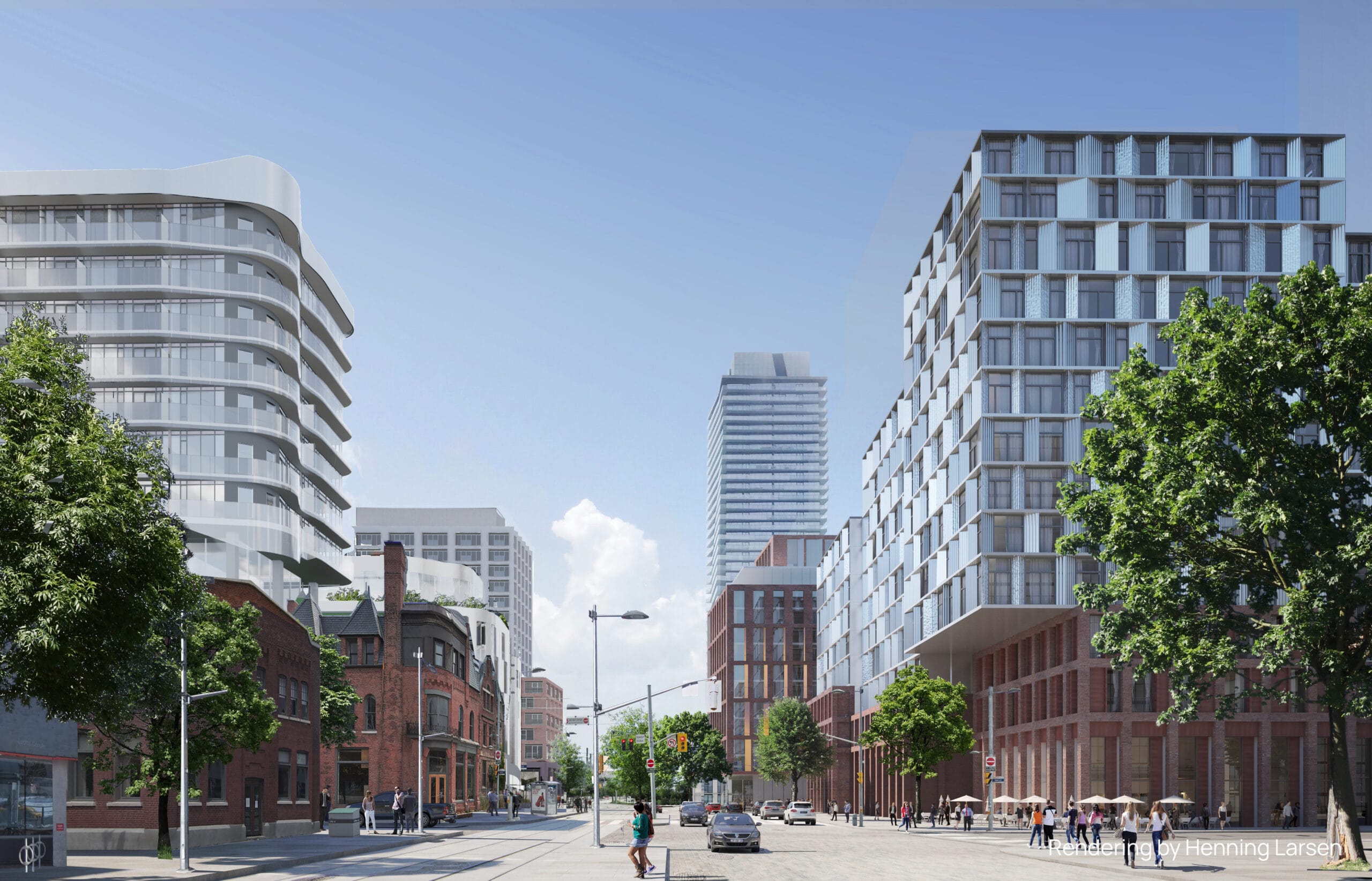
Liberty Yards
2020 - Present
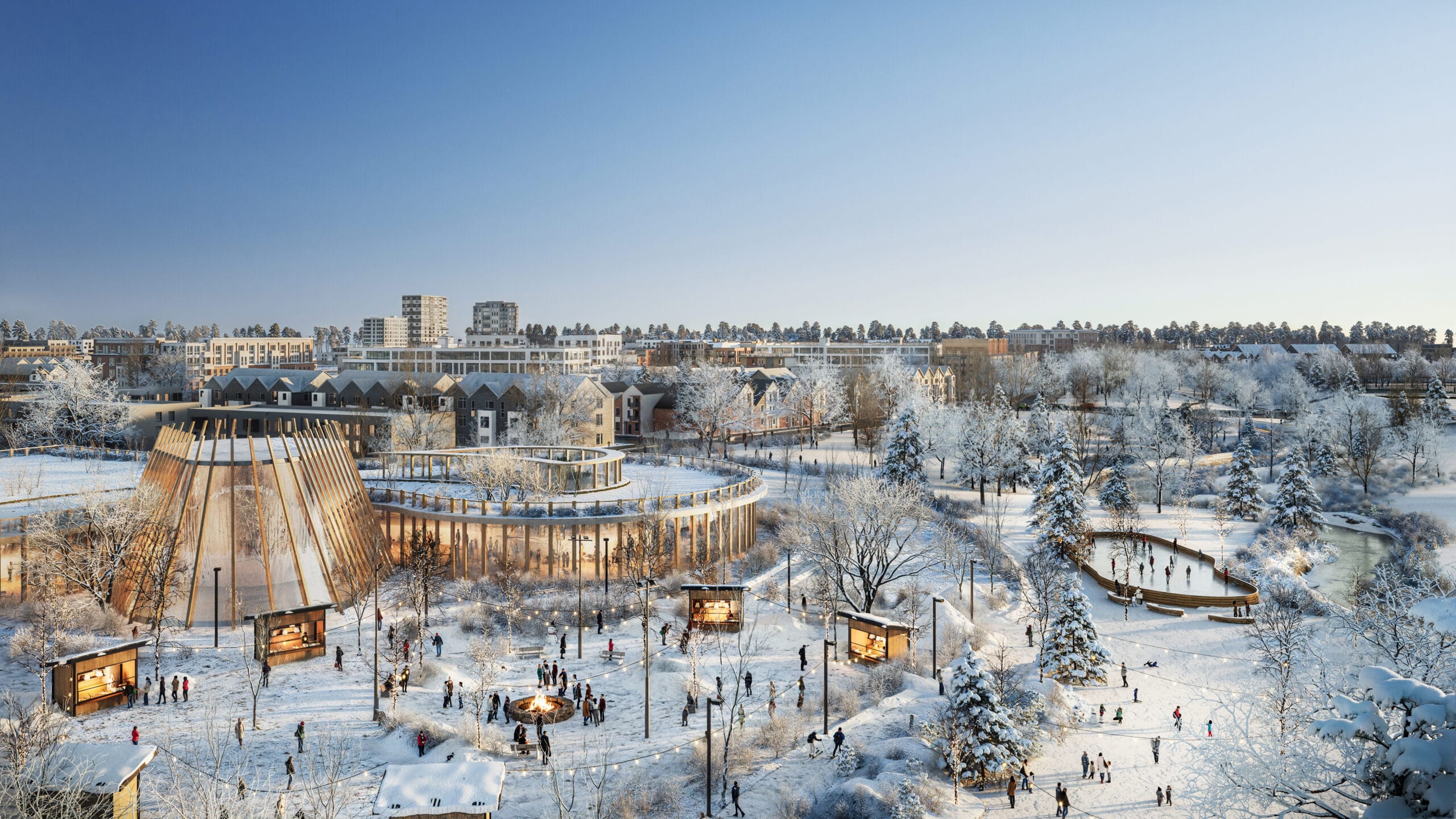
Tewin Community
2019 - Present
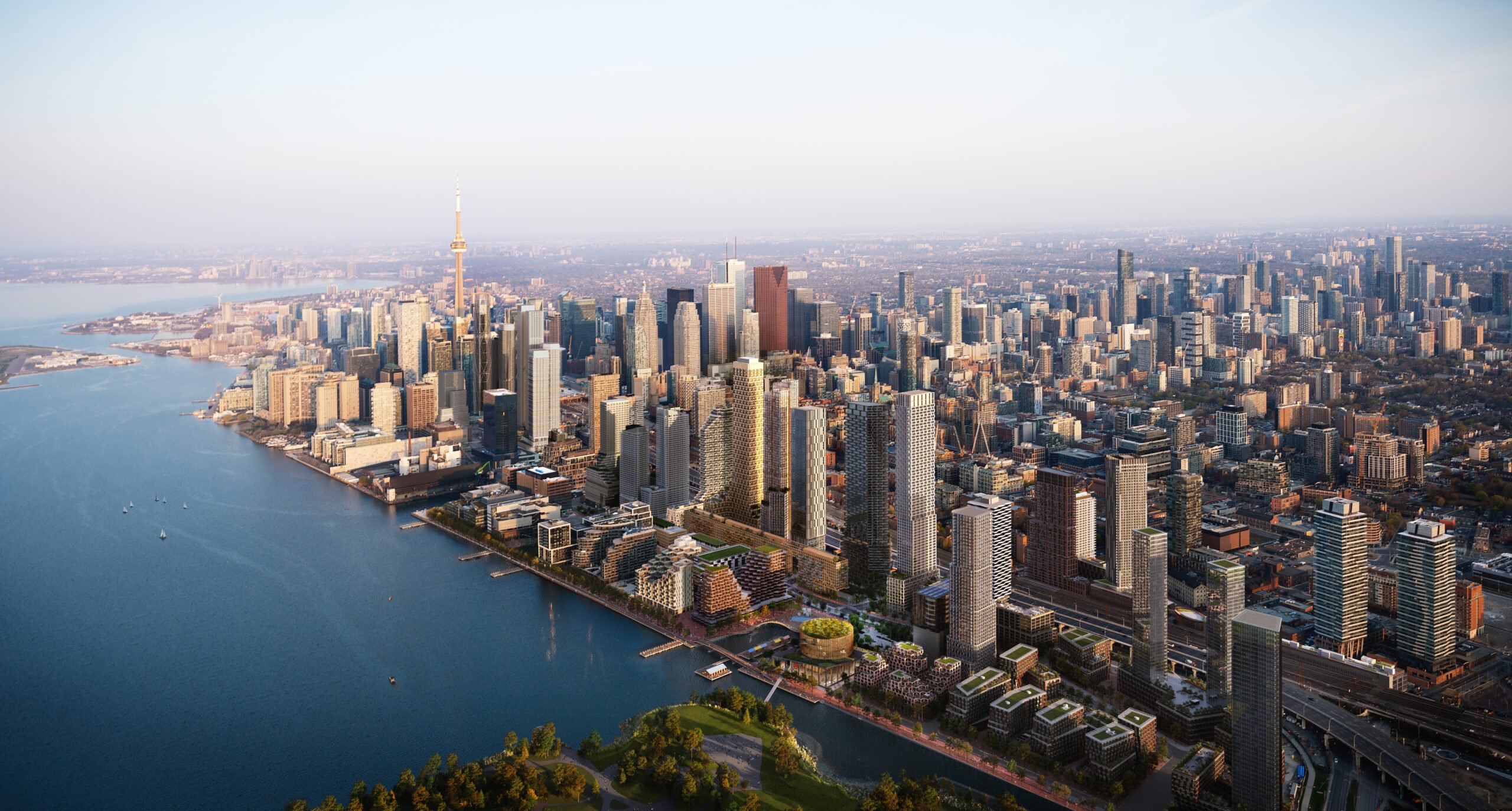
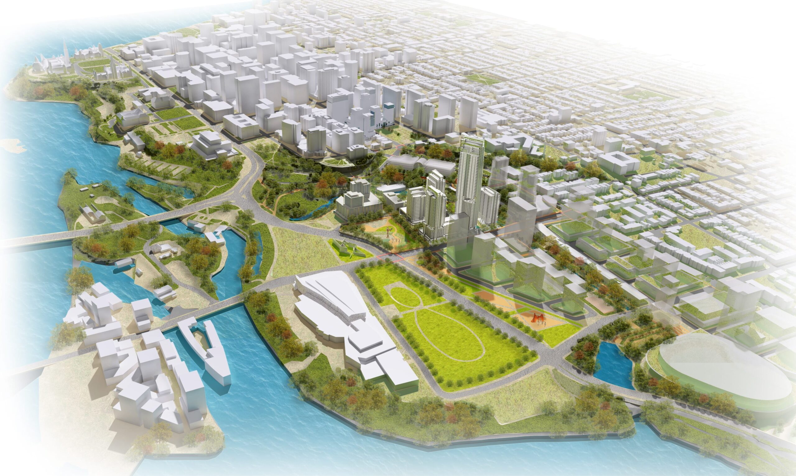
Quayside
2021 - Present
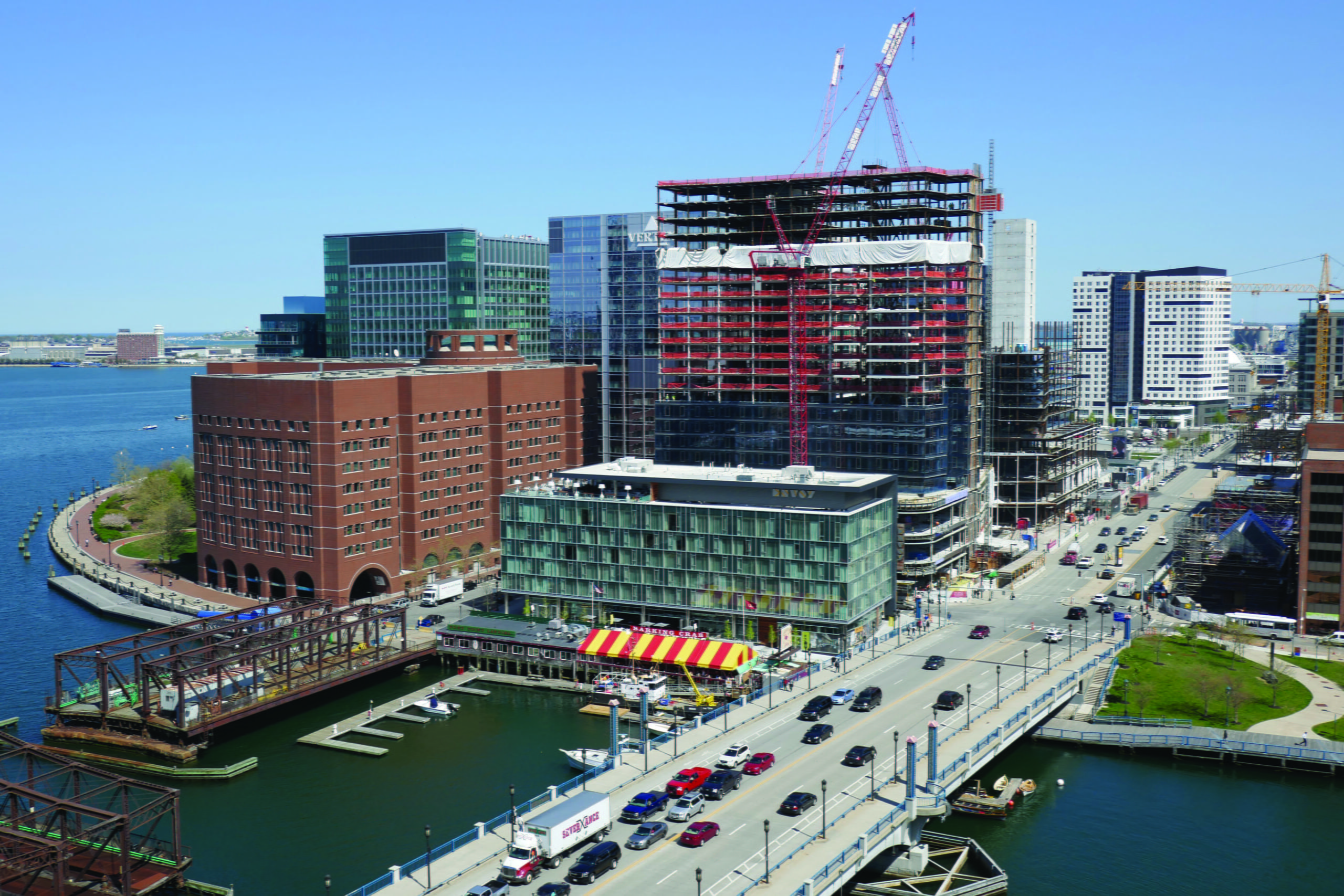
Fan Pier
1998 - 2000
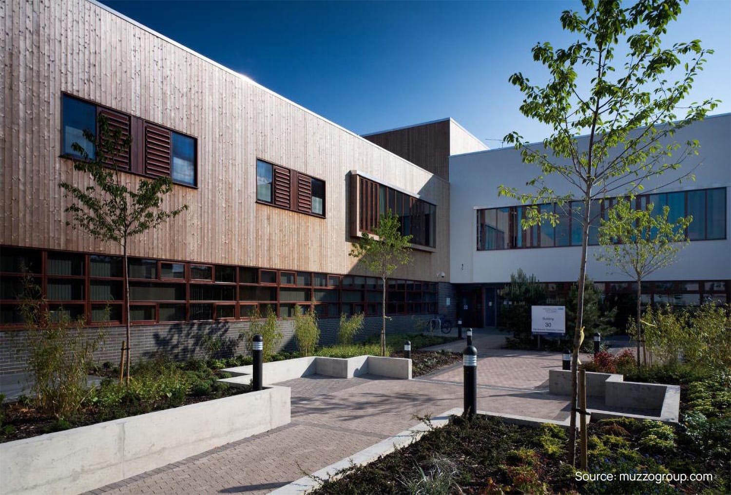
Springfield University Hospital
2004 - 2005, 2007 - 2009
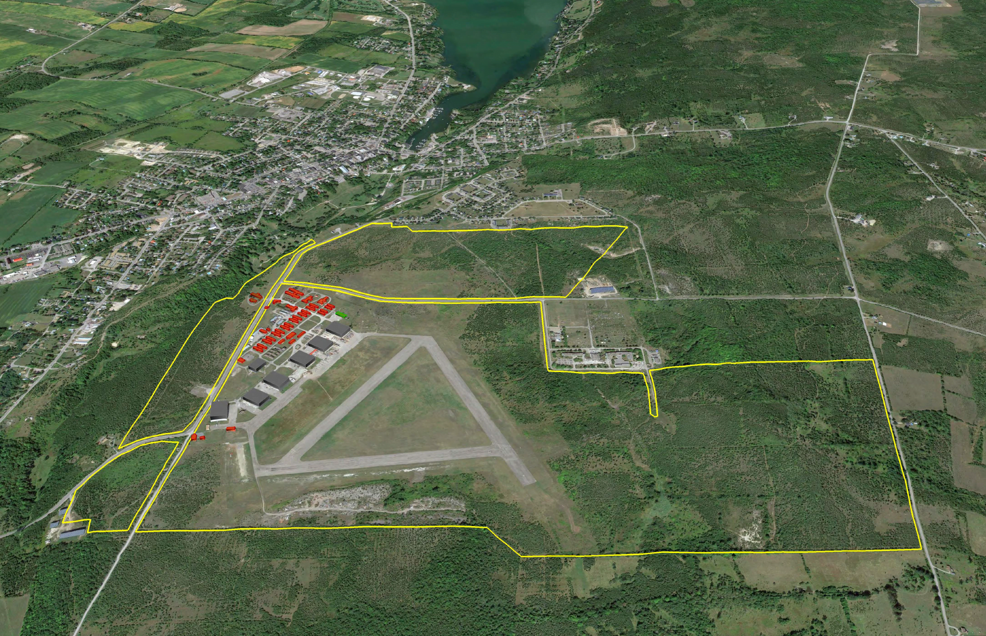
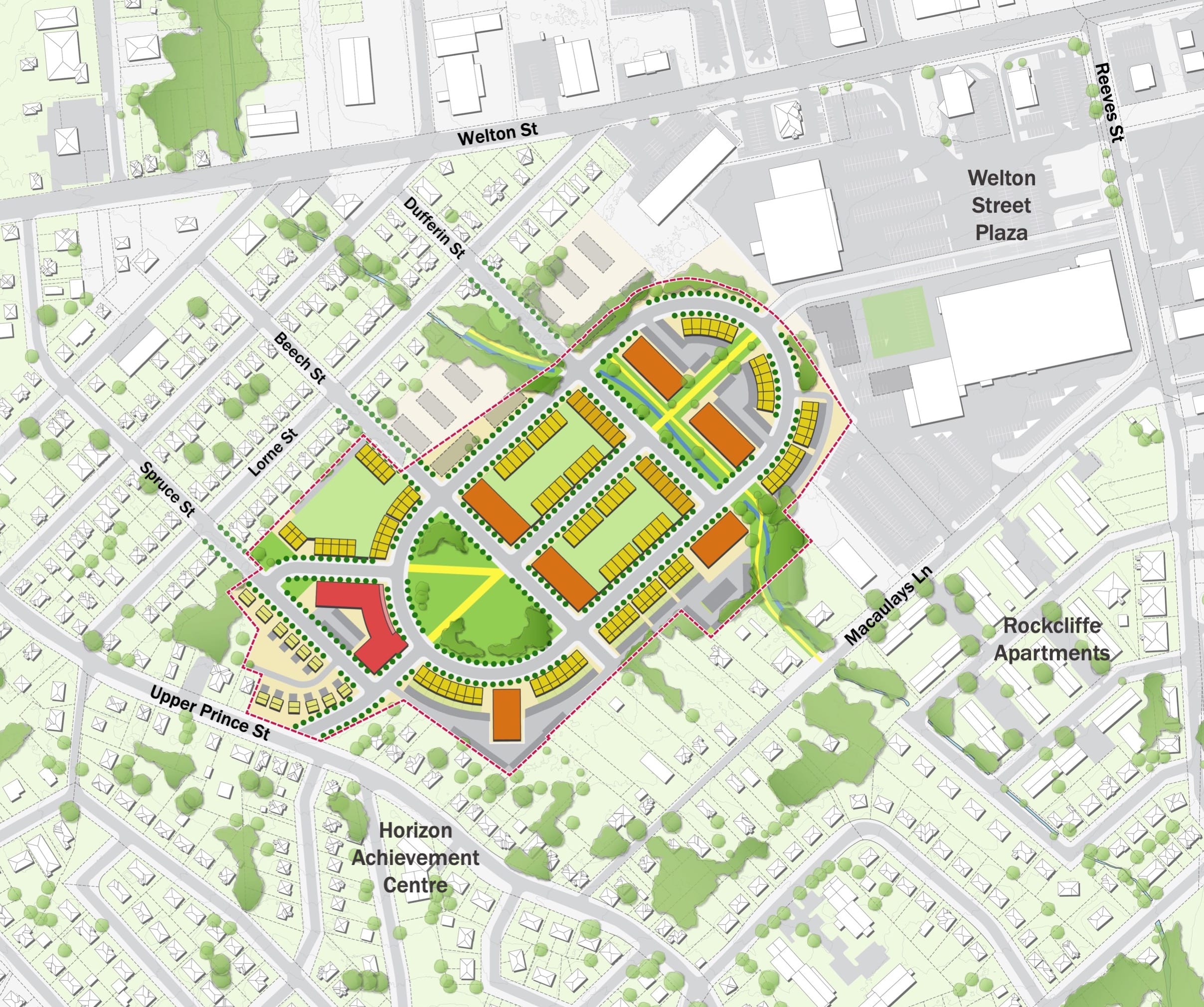
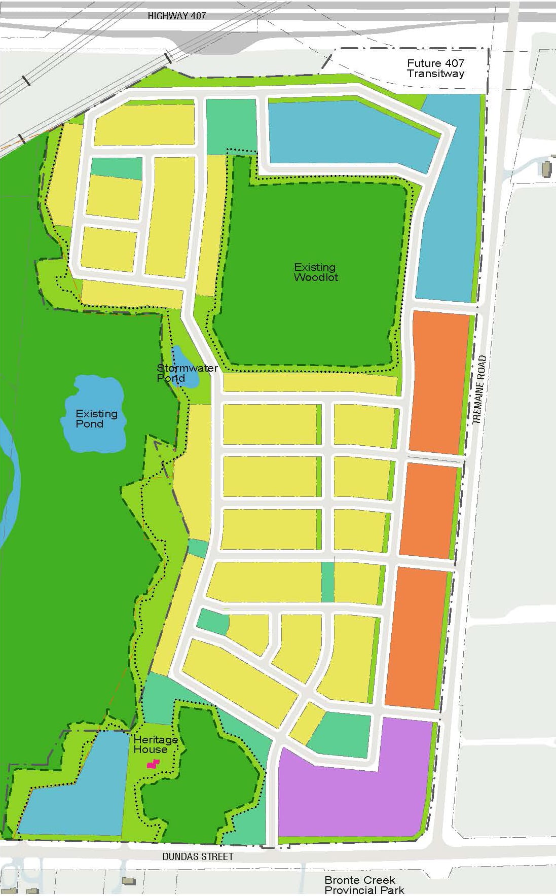
Base31 and Picton Airport Lands Revitalization
2021 - Present
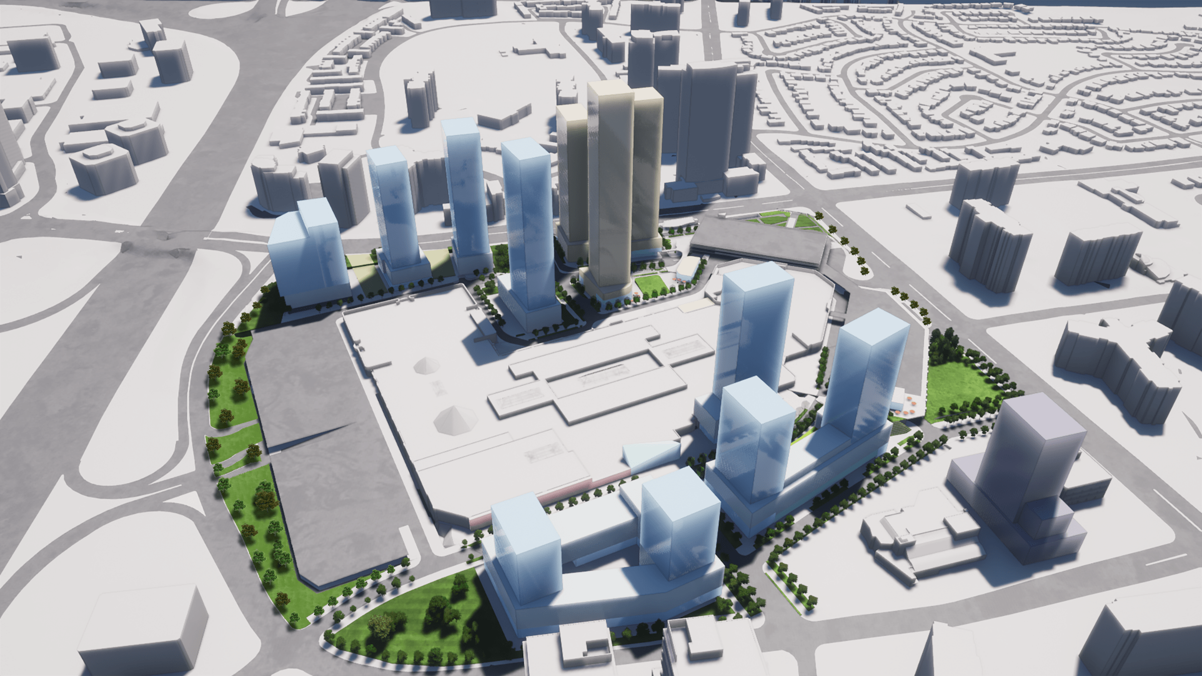
CF Sherway Gardens Mall Intensification
2020 - Present
Downsview Hangar District
2020 - Present
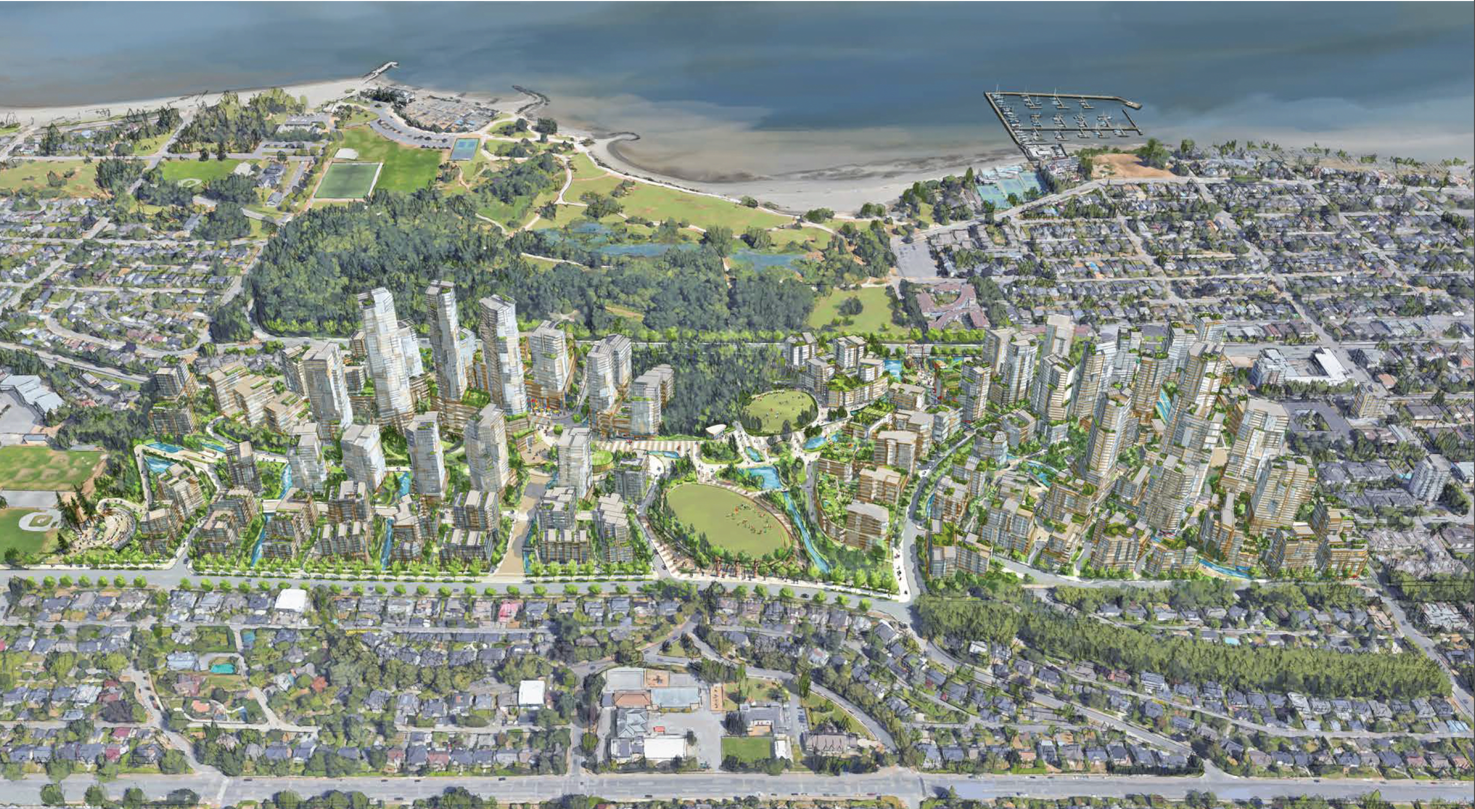
Burnaby Lake Village & Burnaby Lake Heights
2019 - 2022
Eglinton East Planning Study
2018 - 2020
ʔəy̓alməxʷ/Iy̓álmexw/ Jericho Lands
2020 - 2024
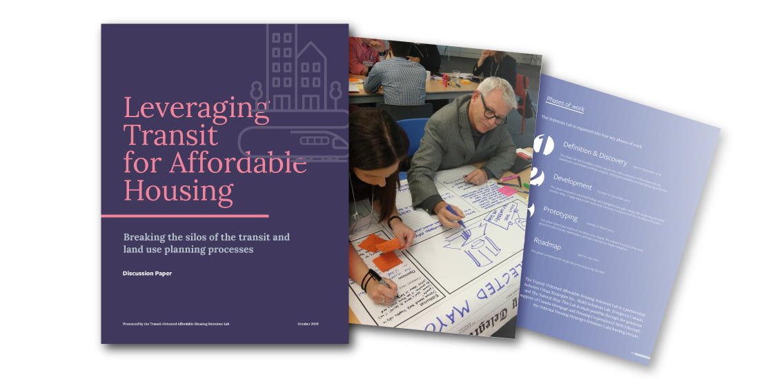
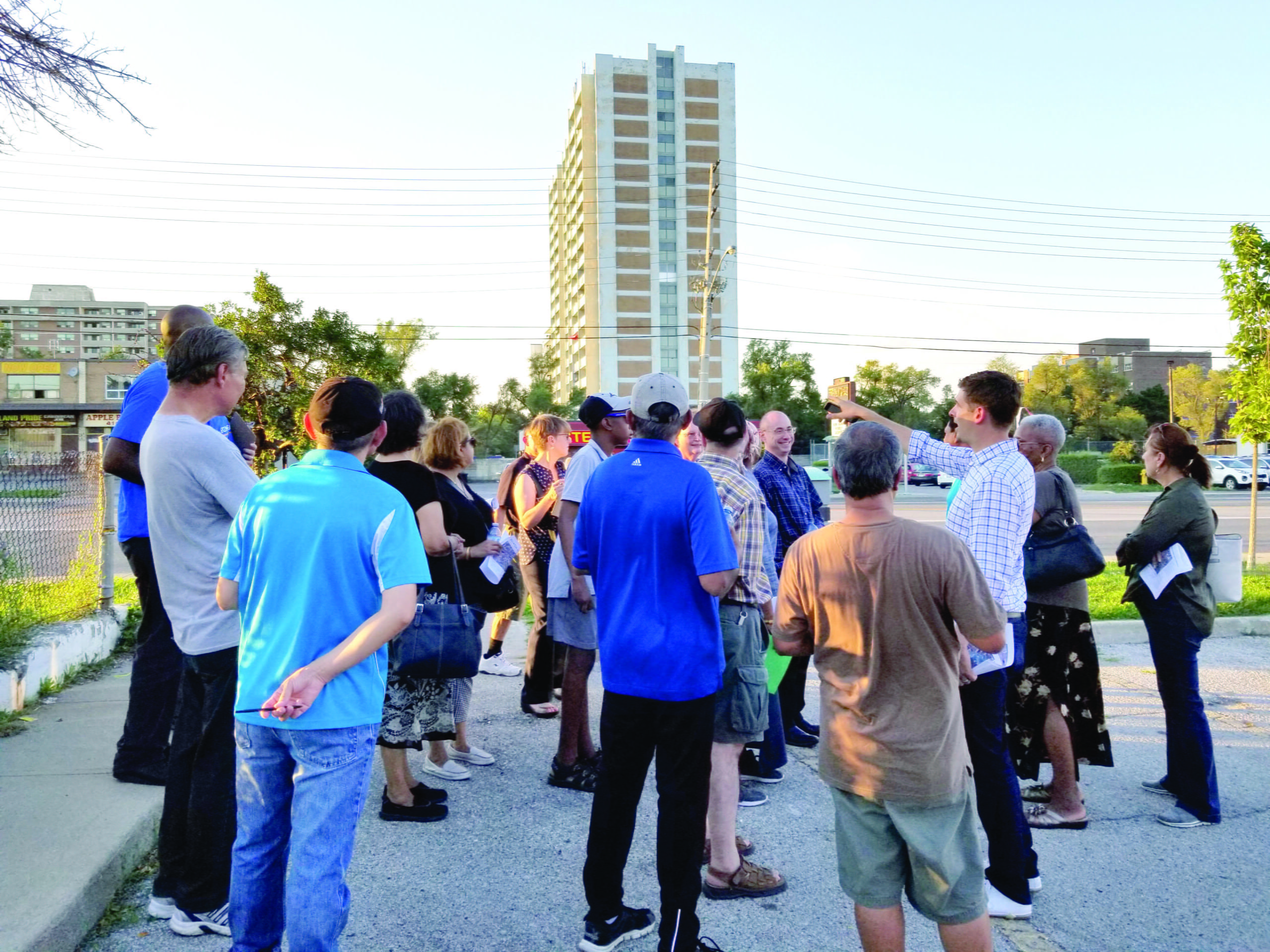
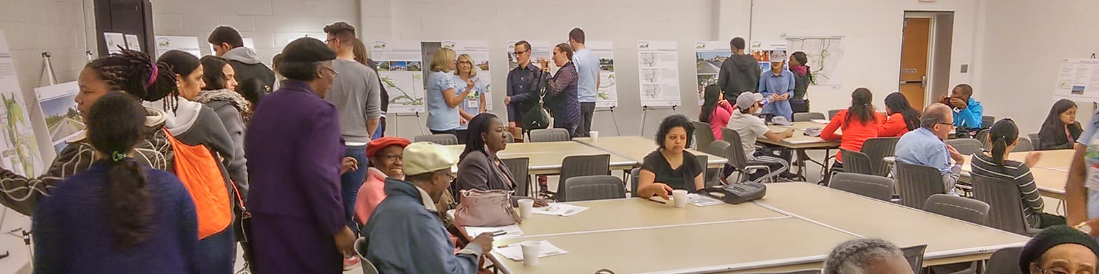
Transit-Oriented Affordable Housing Solutions Lab
2019 - 2020
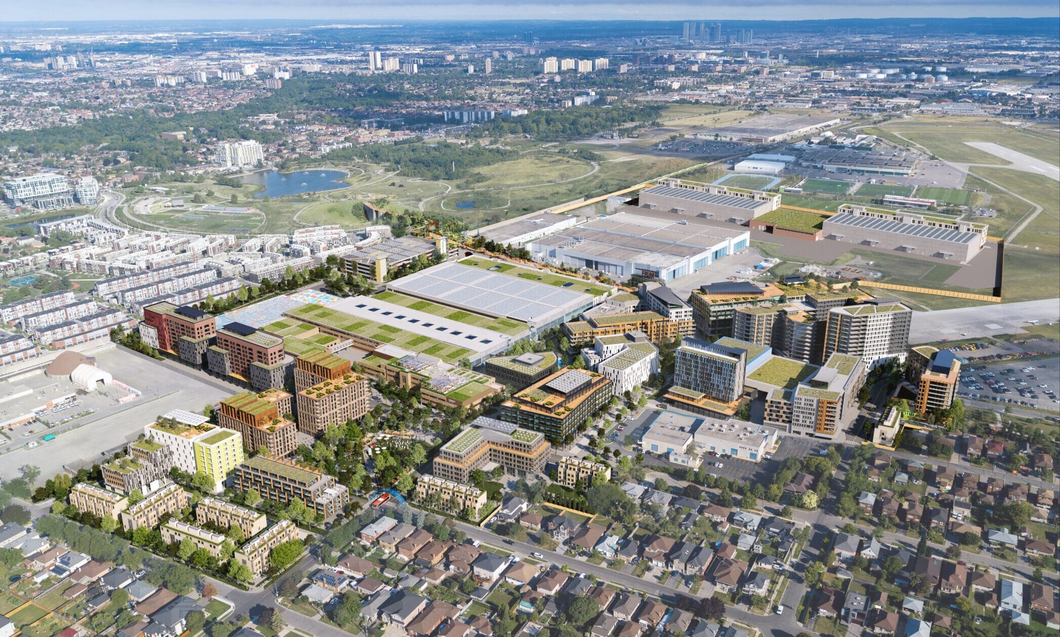
Downsview
2018 - Present
West Don Lands Affordable Housing
2018 - Present
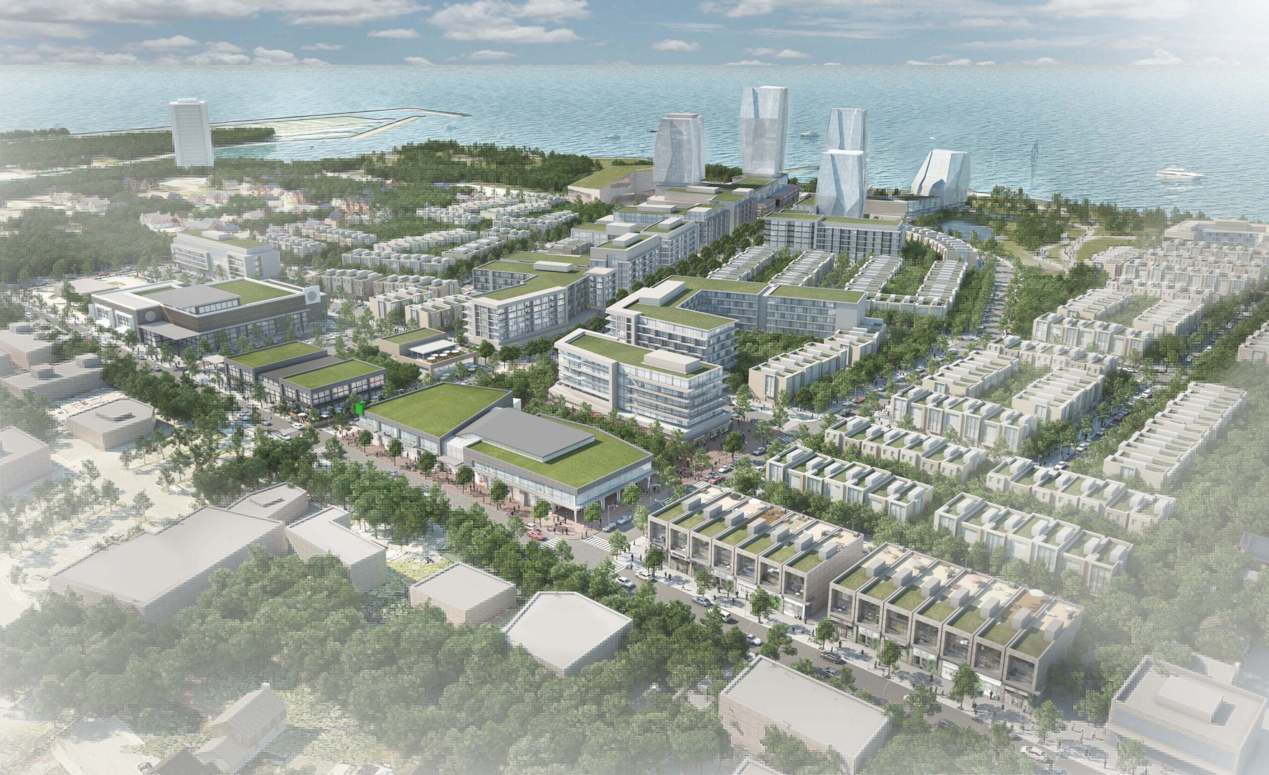
Port Credit West Village – Brightwater
2017 - Present
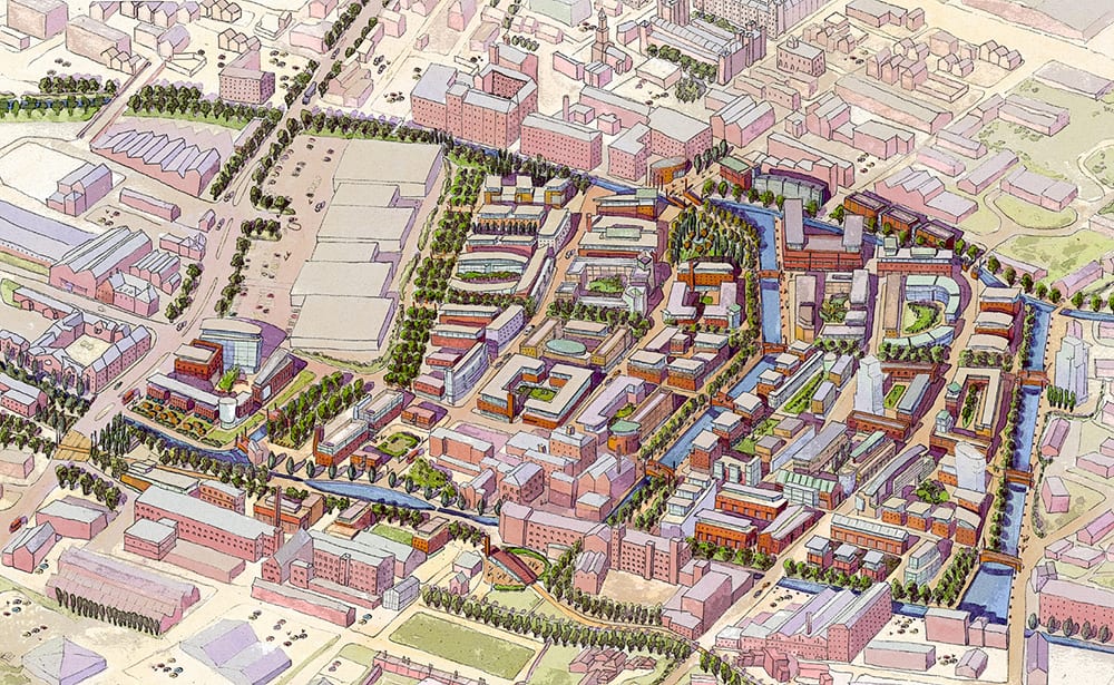
East Manchester Regeneration Strategy
2000 - 2004, 2007
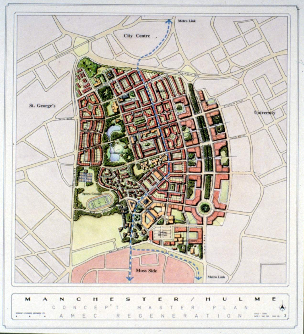
Hulme Redevelopment Strategy
1991 - 1993
Evergreen Burlington Connect Community
2012 - Present
Parkside Village – Mississauga City Centre
2003 - 2005
LeBreton Flats Master Plan
2013 - Present
Mississauga Community Visioning
2014 - 2016
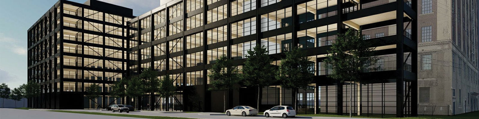
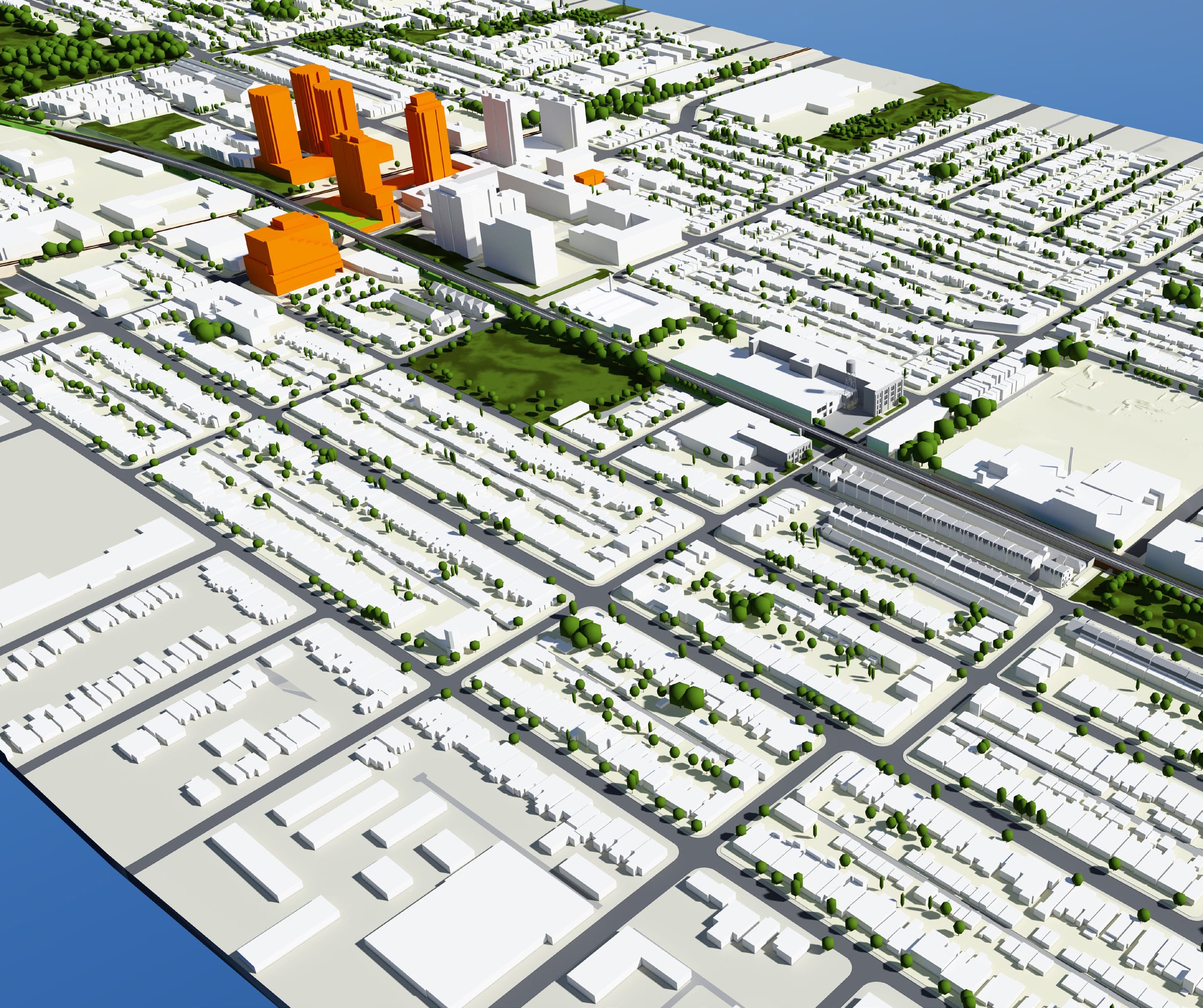
Sterling Road Redevelopment
2010 - Present
Galleria Mall Redevelopment
2015 - Present