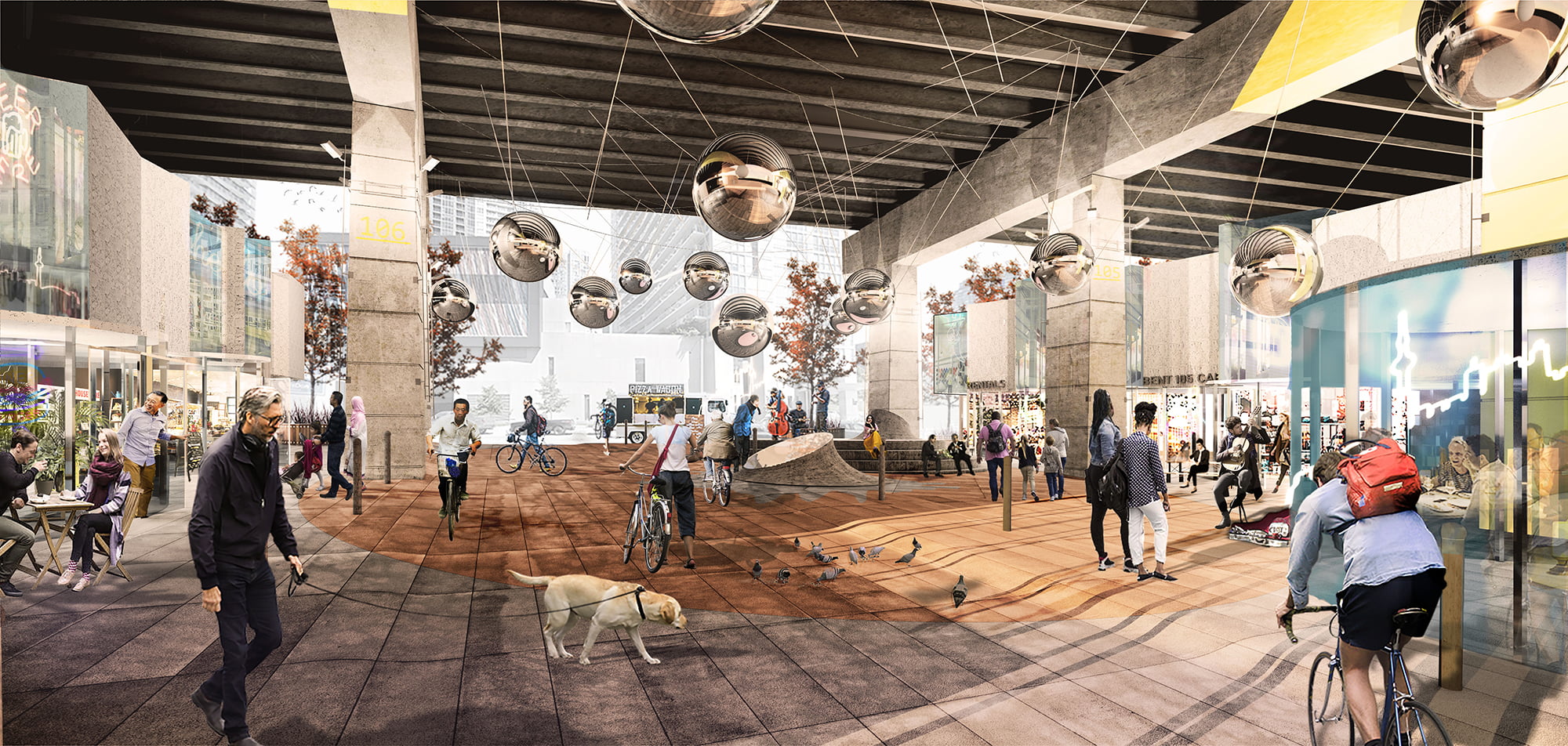
Under Concord
2020 - Present
A destination where visitors can eat, shop, rest and play under the Gardiner Expressway.
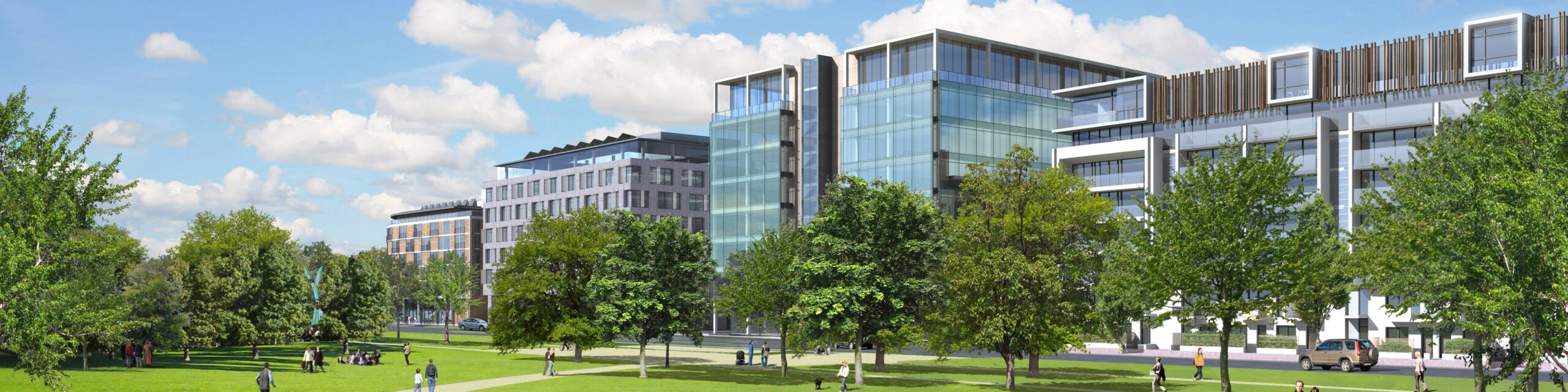
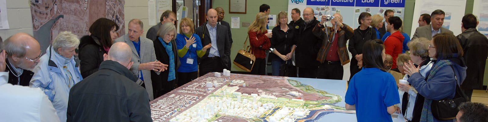
Cities are complicated. We lead complex projects in cities all over the world. Clients benefit from fresh eyes and understanding of global best practices, with no preconceived approach or end solutions envisioned. We try and make the complicated simple.
Filter
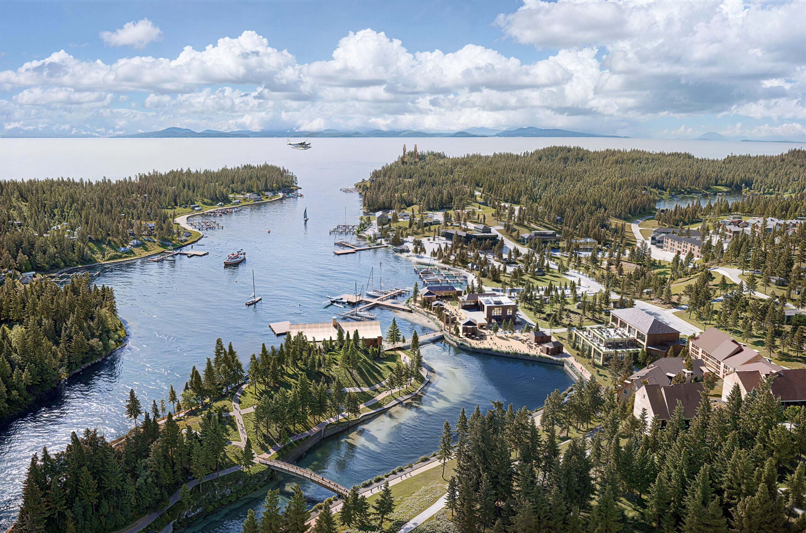
Huu-ay-aht First Nations Framework Plan
2023 - Present
Singapore
2009 - 2013
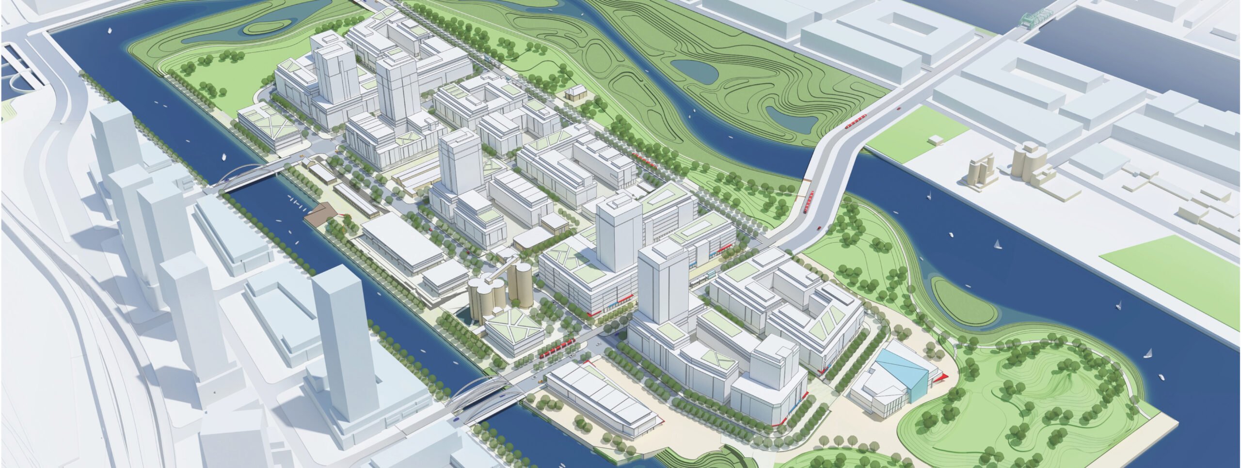
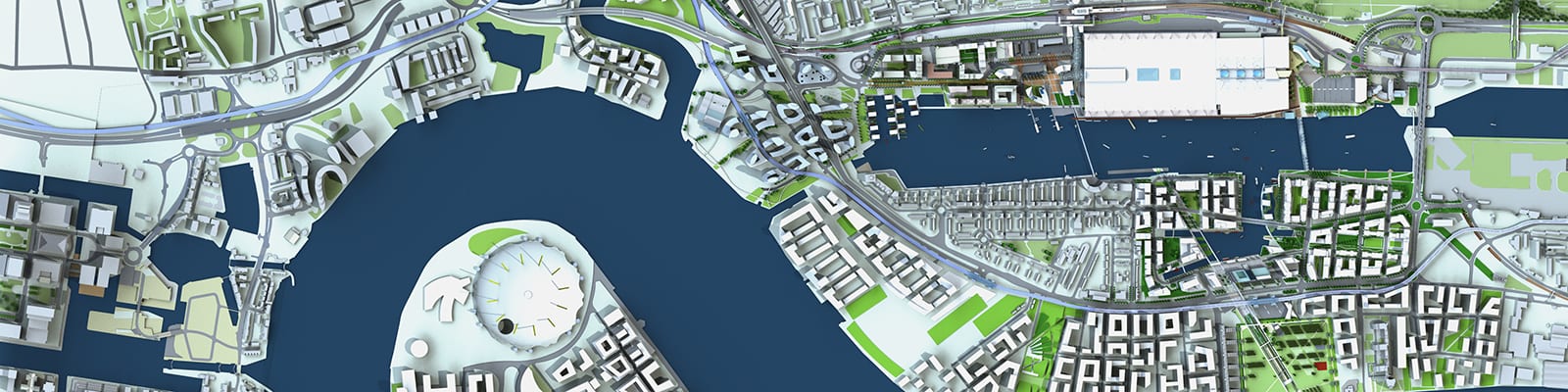
Quayside
2021 - Present
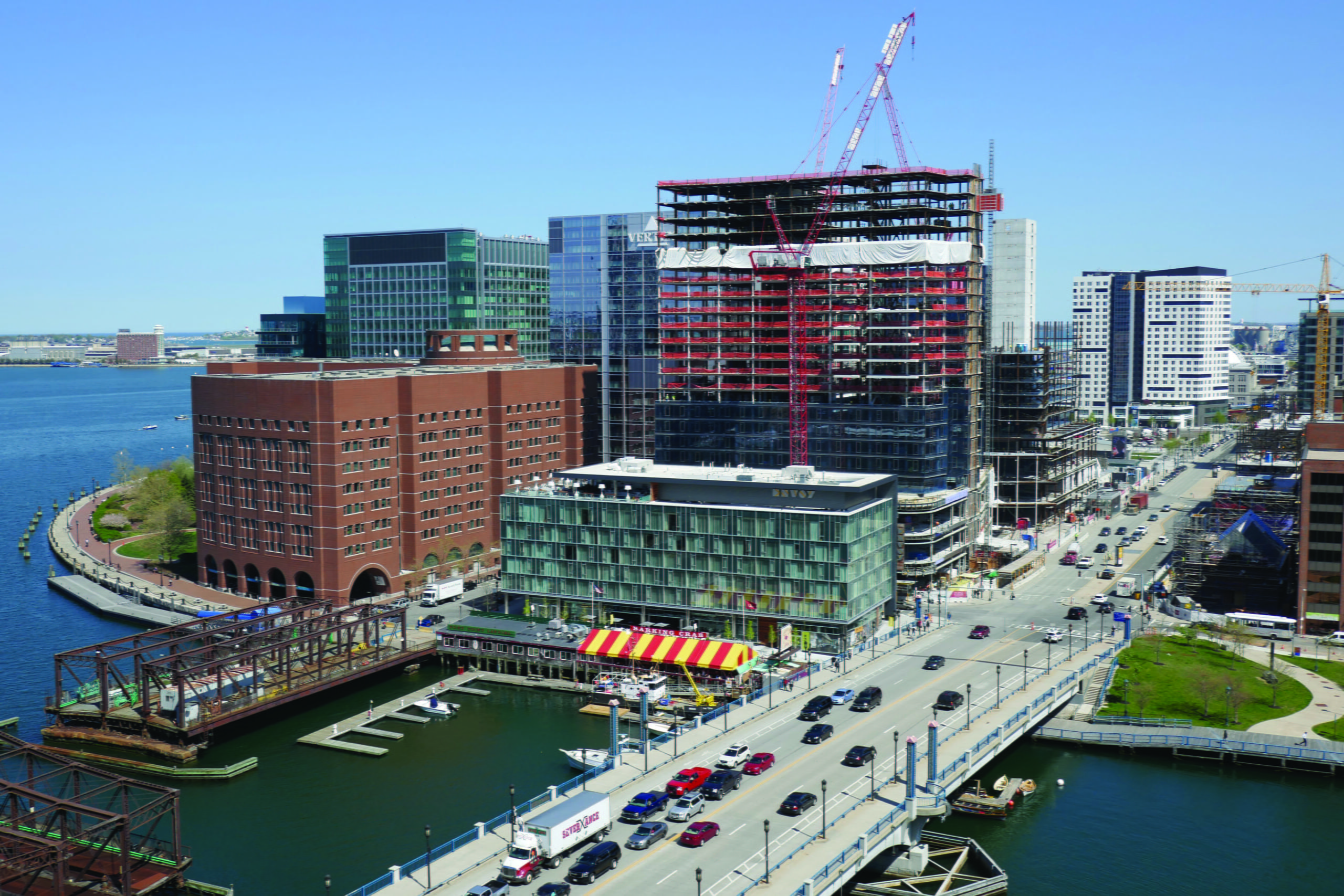
Fan Pier
1998 - 2000
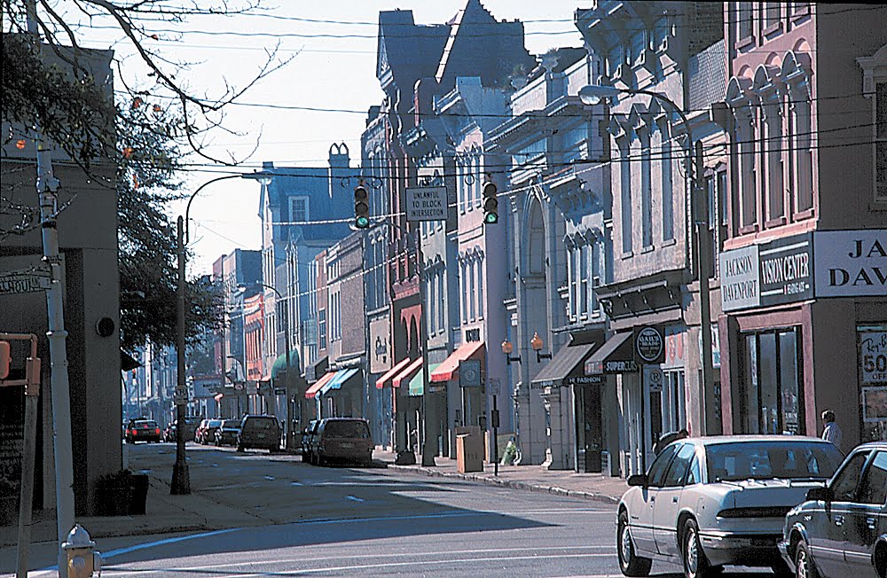
Charleston Downtown Plan
1998 - 1999
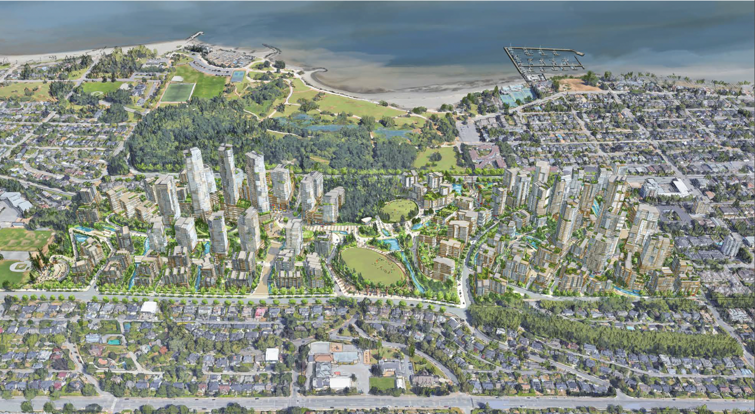
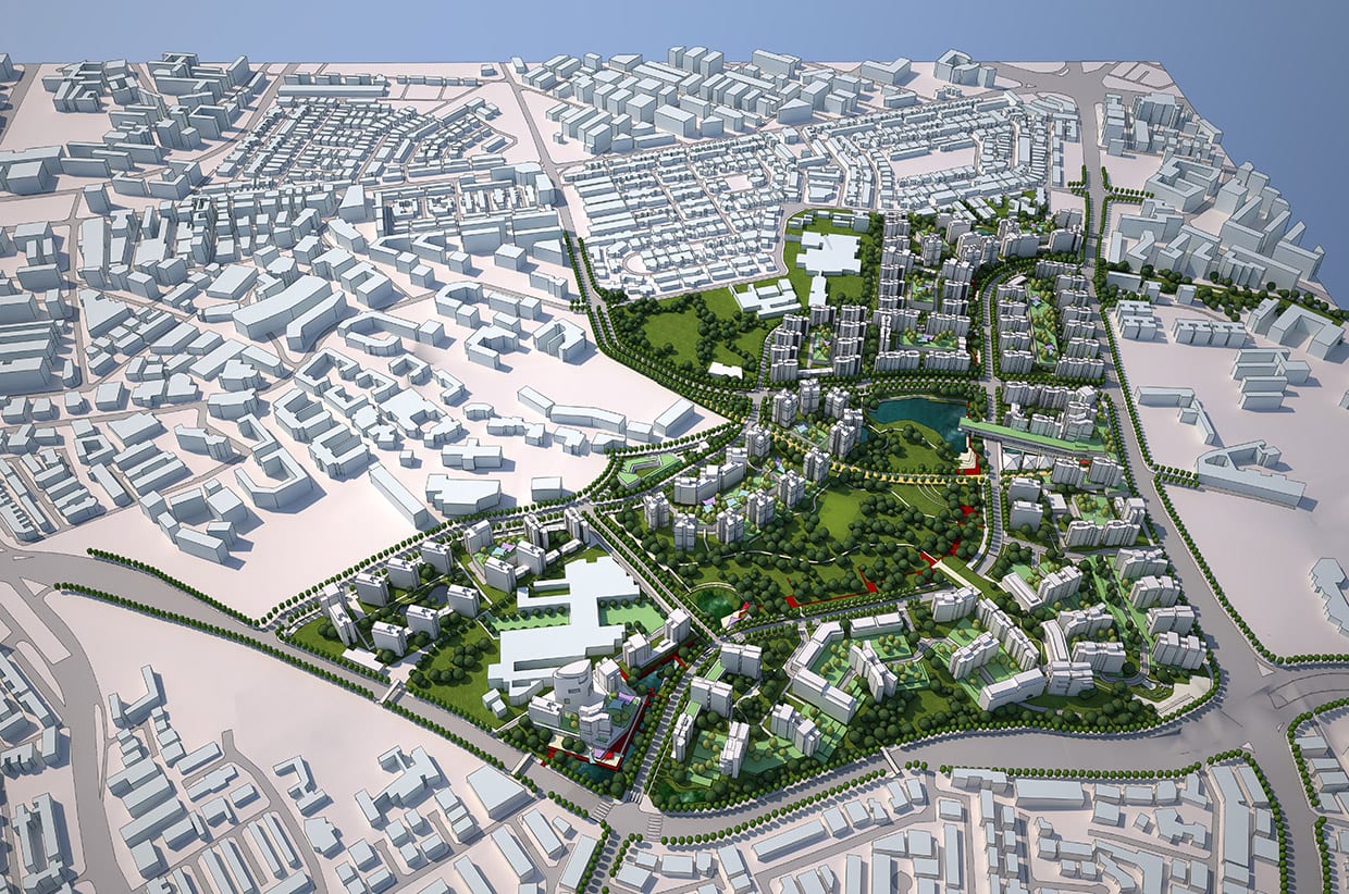
ʔəy̓alməxʷ/Iy̓álmexw/ Jericho Lands
2020 - 2024
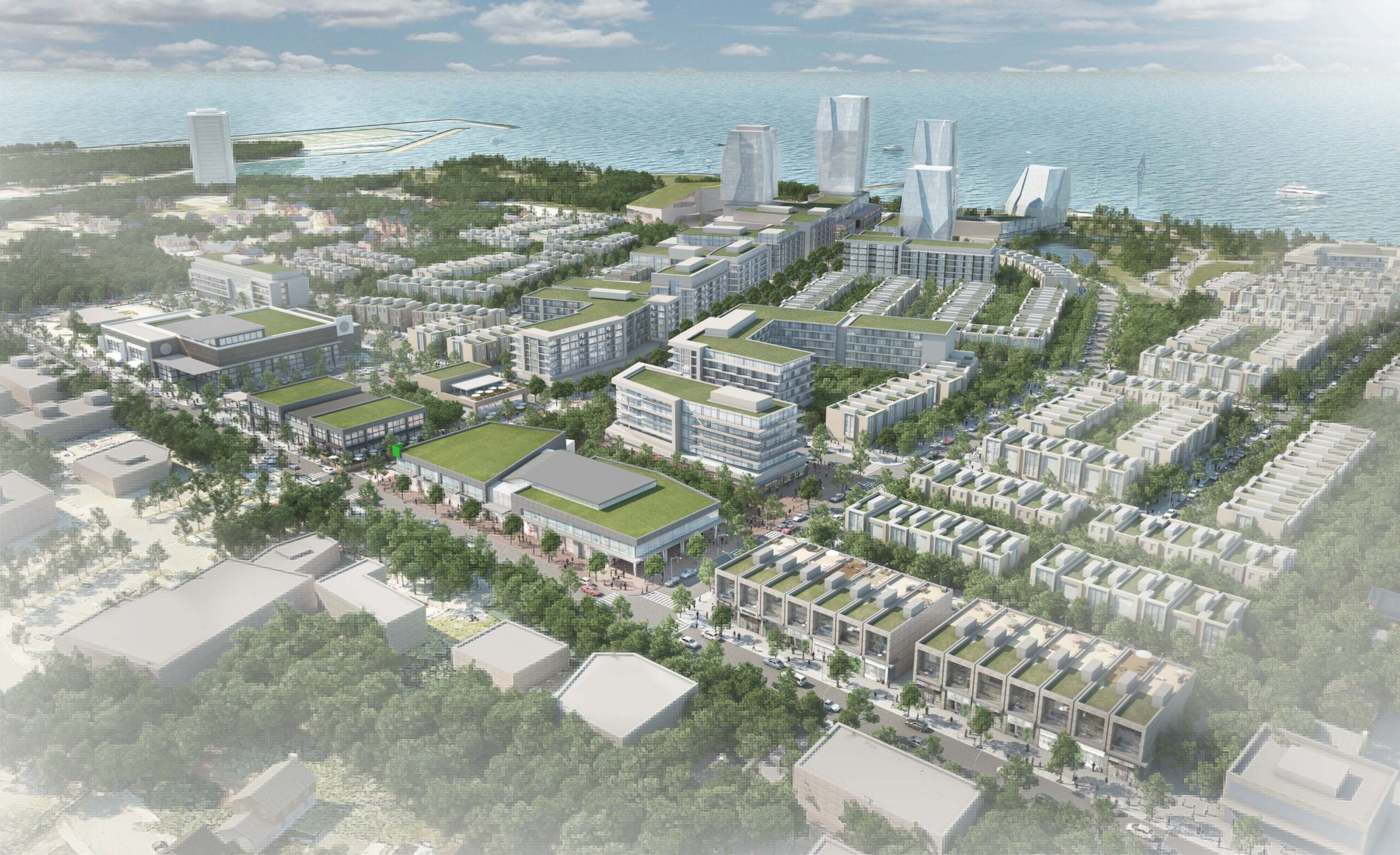
Port Credit West Village – Brightwater
2017 - Present
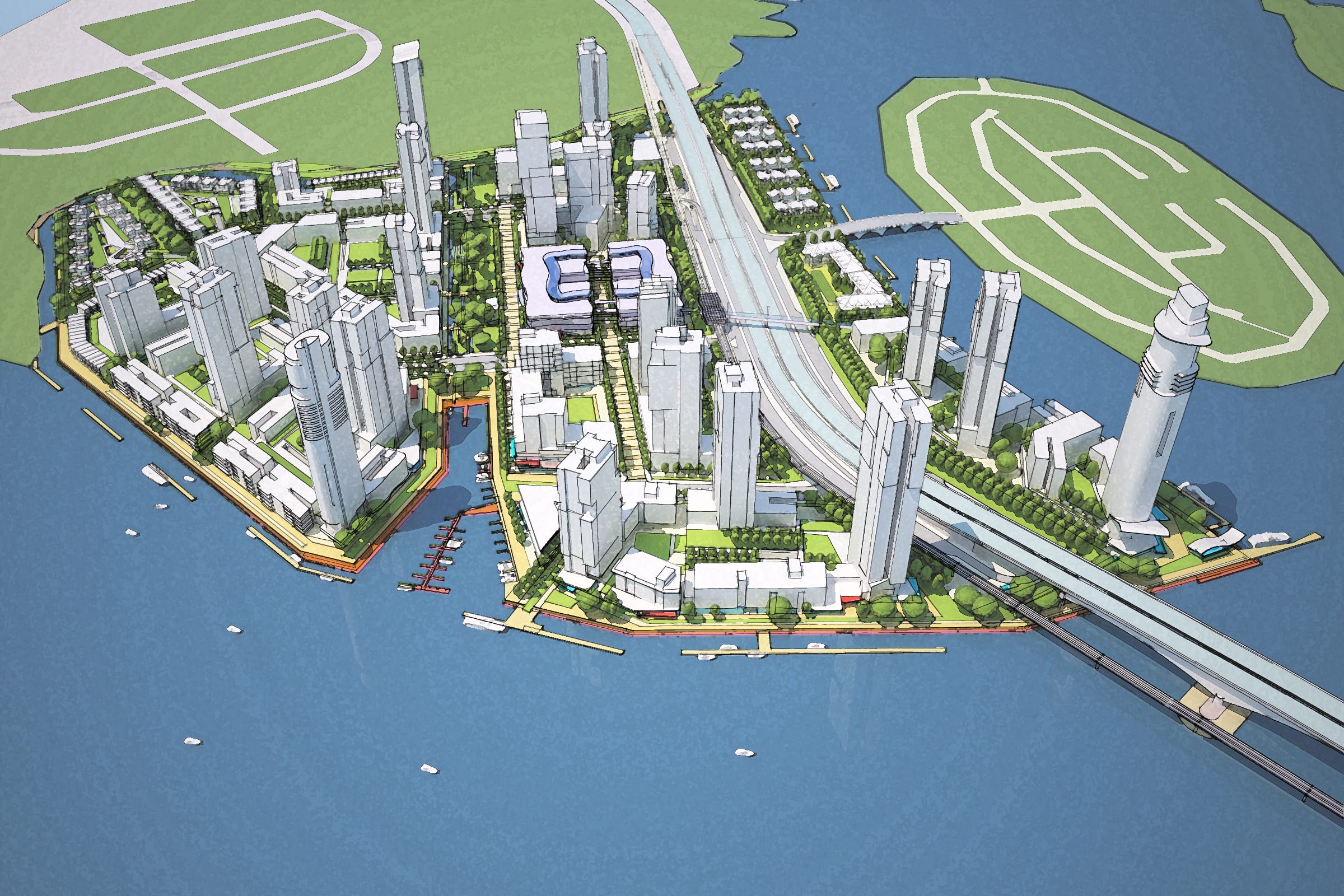
Johore Island Danga Bay
2013
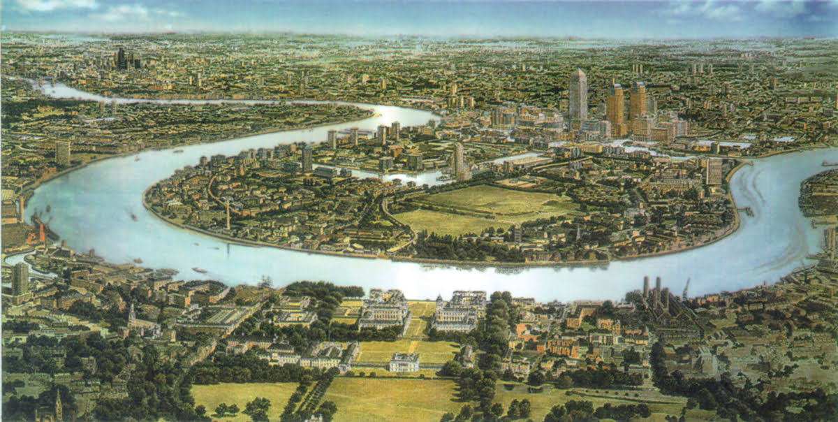
Canary Wharf
1988 - 1991
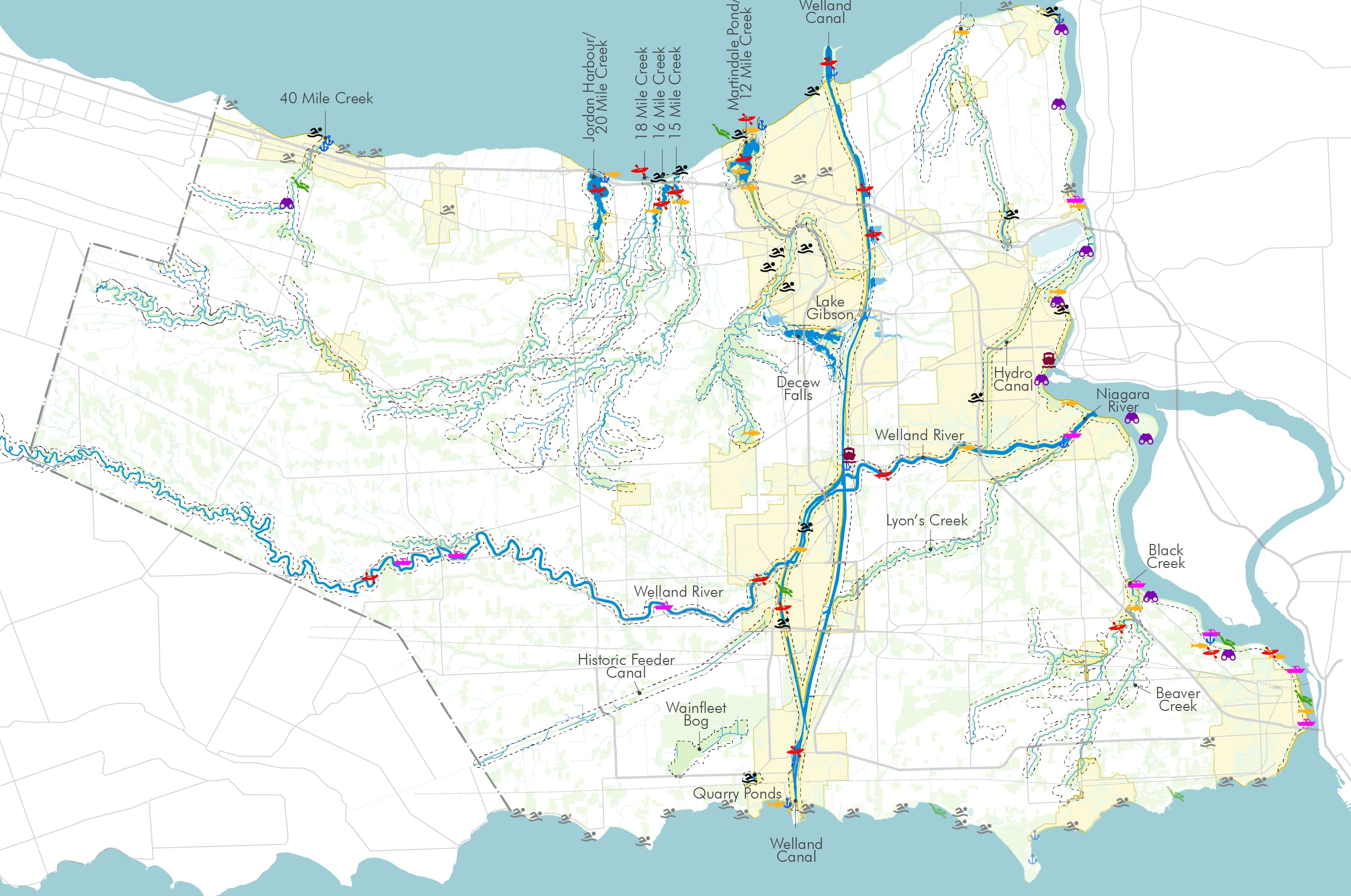
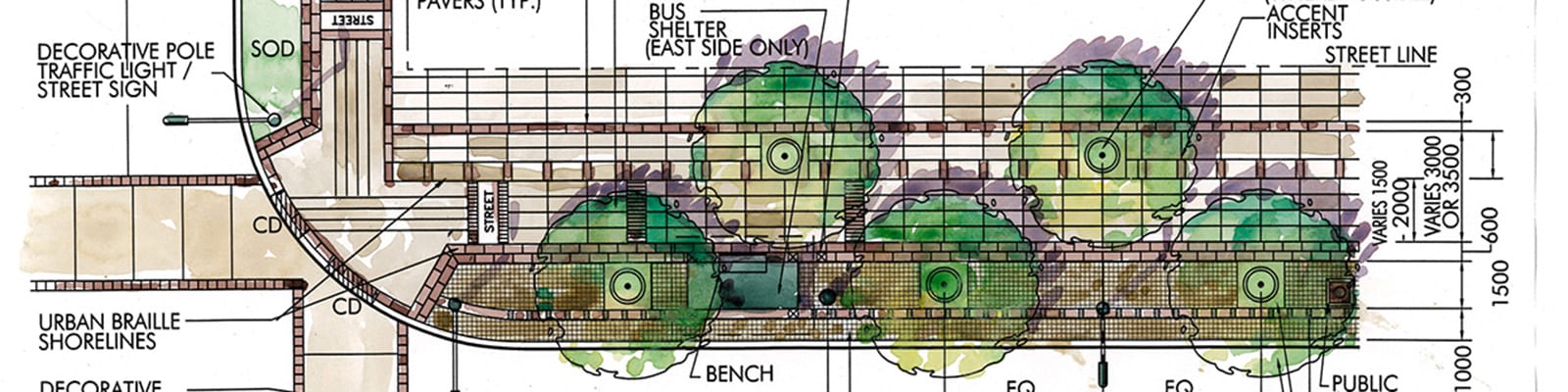
Niagara Lakefront Enhancement Strategy
2012 - 2014
Cardiff Bay Waterfront Master Plan
2014 - 2016
Villiers Island Precinct Plan
2013 - 2017
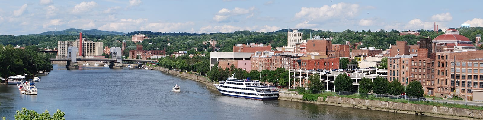
Realize Troy
2014 - 2016
Bathurst Quay Neighbourhood Plan
2014 - 2016
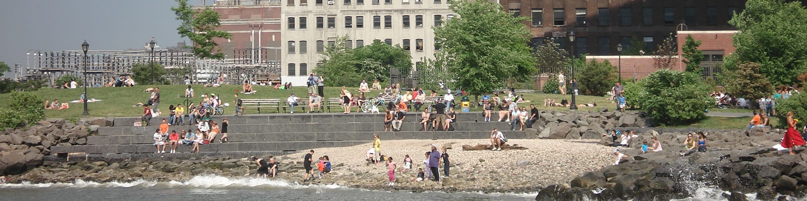
Brooklyn Bridge Park Master Plan
1999 - 2000
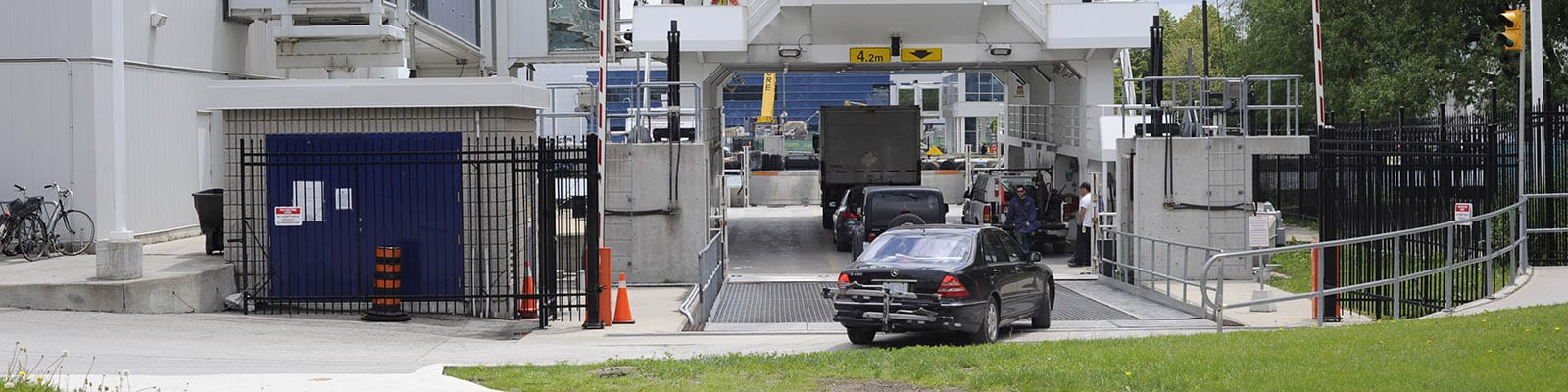
Billy Bishop Toronto Airport Expansion Study
2013 - Present
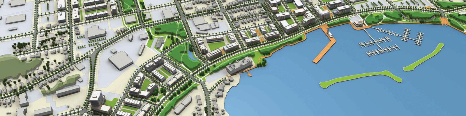
City of Hamilton
1998 - 2000, 2002 - 2005
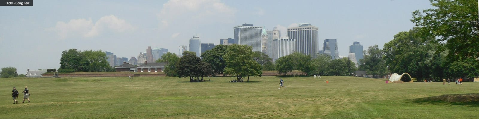
Governors Island Redevelopment Framework
2004 - 2006, 2016 -
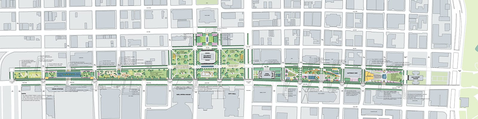
St. Louis Gateway Mall Park Plan
2007
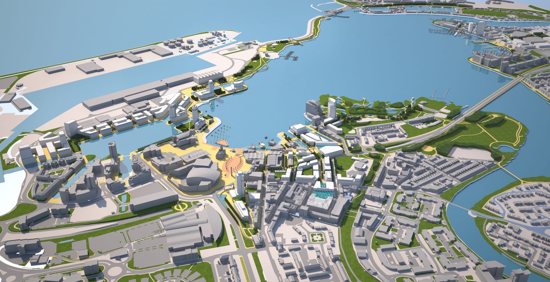
Cork South Docklands Masterplan & Vision
2005 - 2008
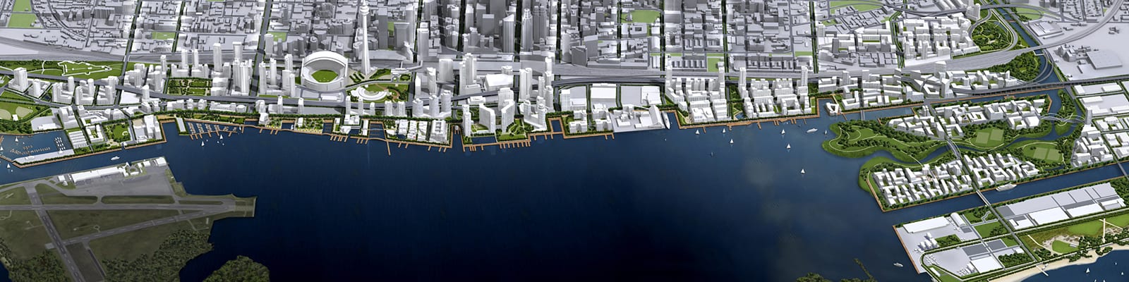
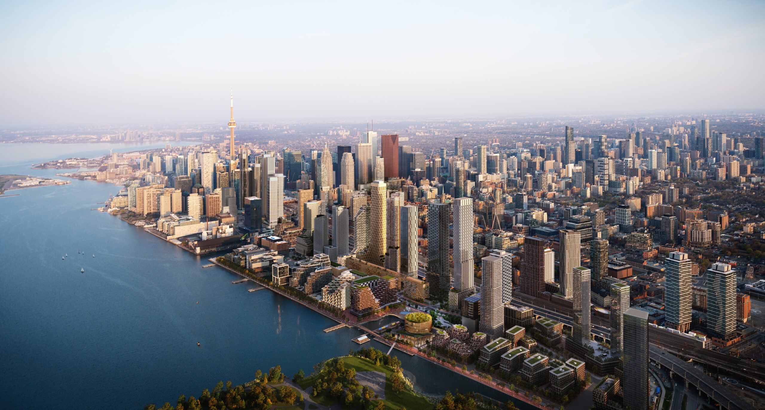
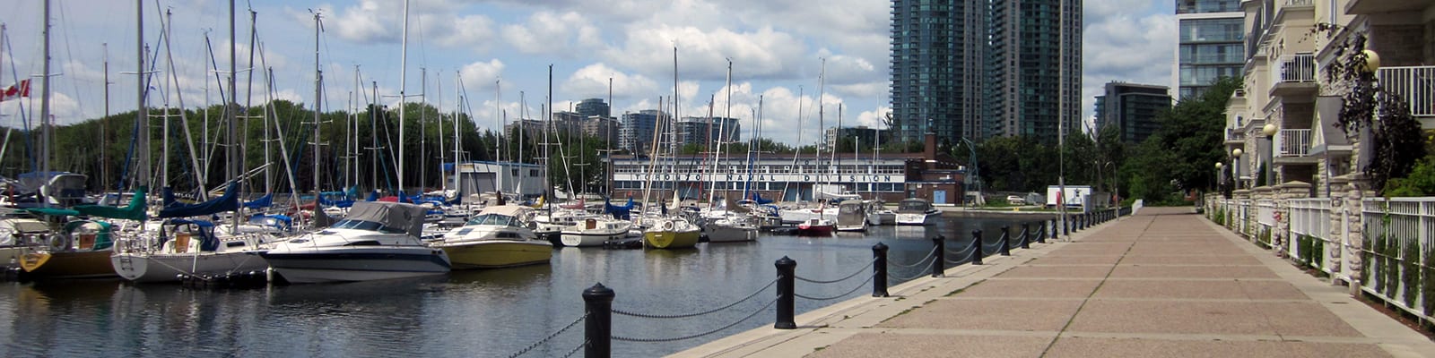
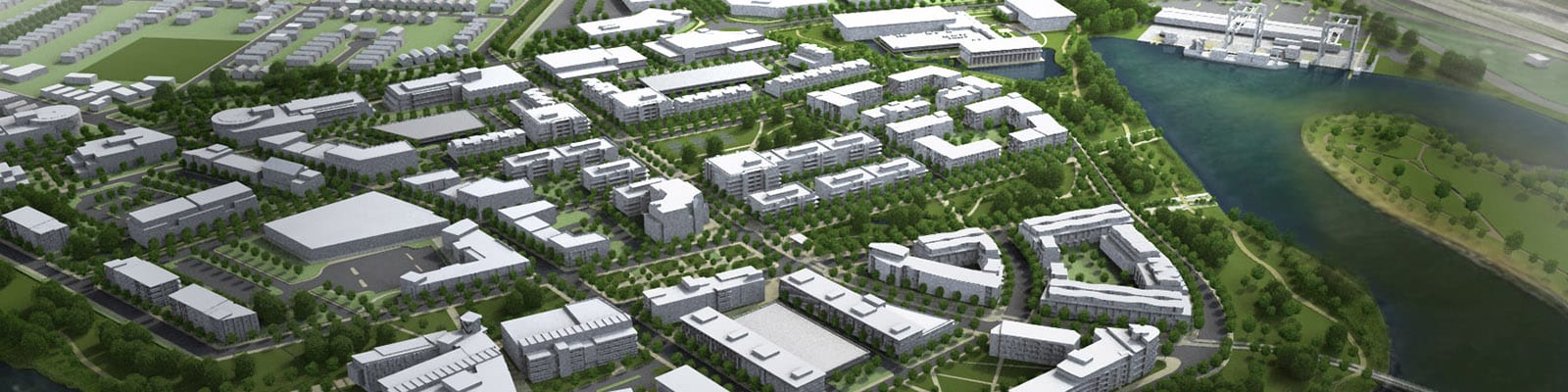
Toronto Waterfront Revitalization
2000 - Present
London Docklands
2001 - 2012
Eastern Gateway Waterfront Master Plan
2011
Orillia Downtown & Waterfront Revitalization Plan
2011 - 2012, 2015, 2022-2025
Inspiration Lakeview
2010 - 2014
Buffalo Brownfields Opportunity Study
2006 - 2010
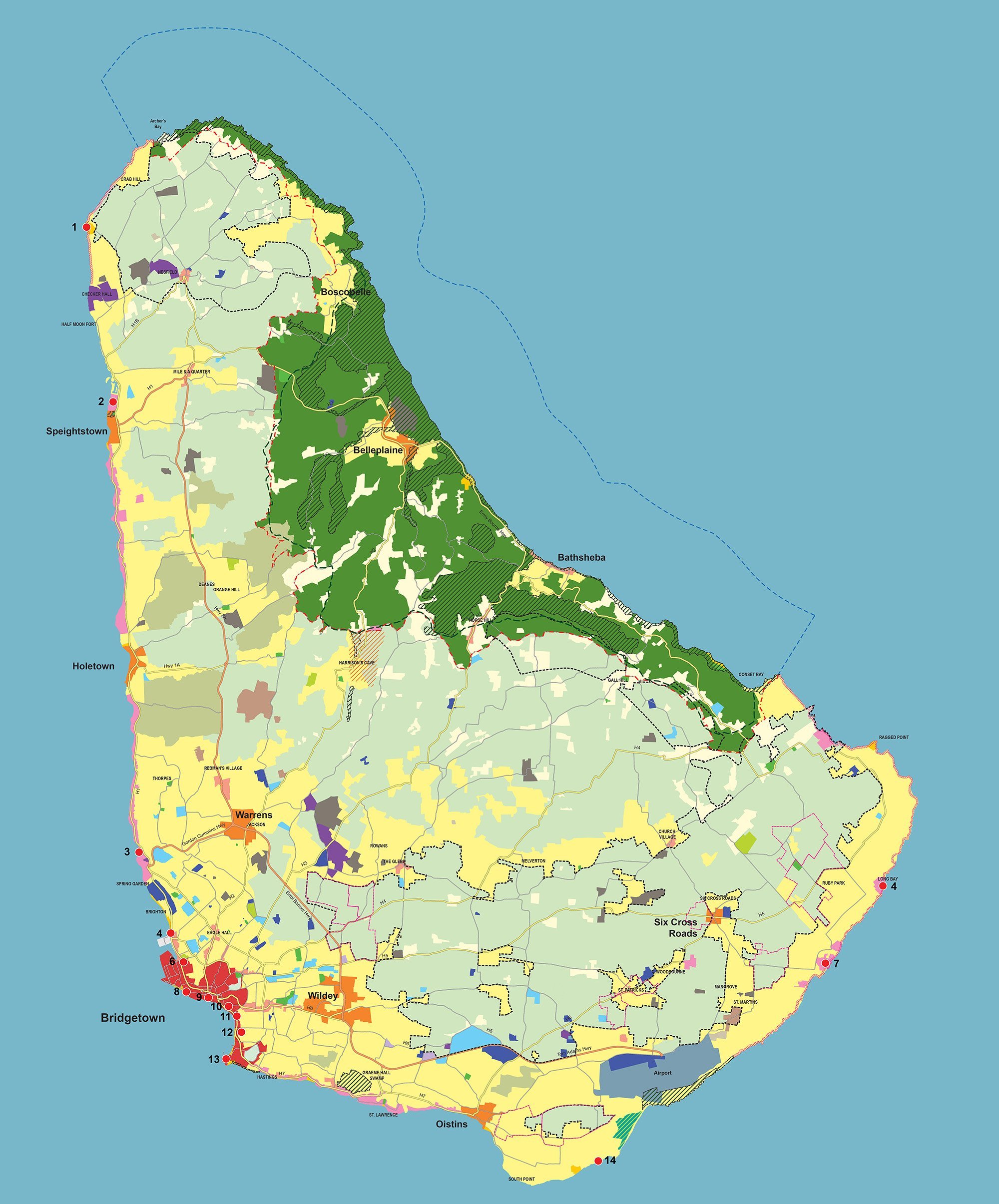
Barbados Physical Development Plan & Barbados National Park
1997 - 1998, 2001 - 2003, 2016 - 2017, 2021 - Present