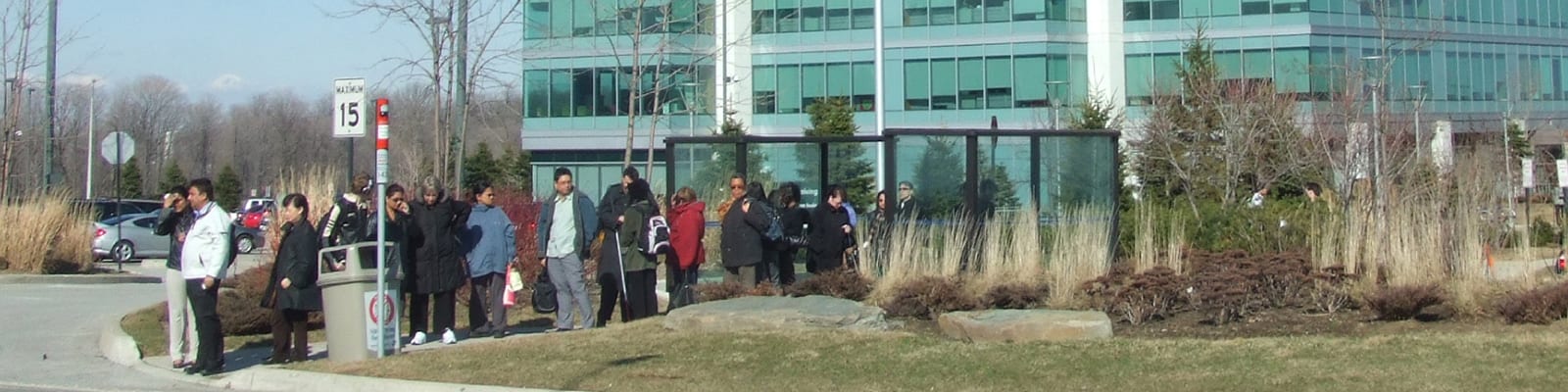
Ontario Transit Supportive Guidelines
2010 - 2012
Winner: 2012 Canadian Institute of Planners Award of Excellence in Planning Publications
Winner: 2012 Ontario Provincial Planners Institute Award of Excellence Communications/Public Education
Cities are complicated. We lead complex projects in cities all over the world. Clients benefit from fresh eyes and understanding of global best practices, with no preconceived approach or end solutions envisioned. We try and make the complicated simple.
Filter

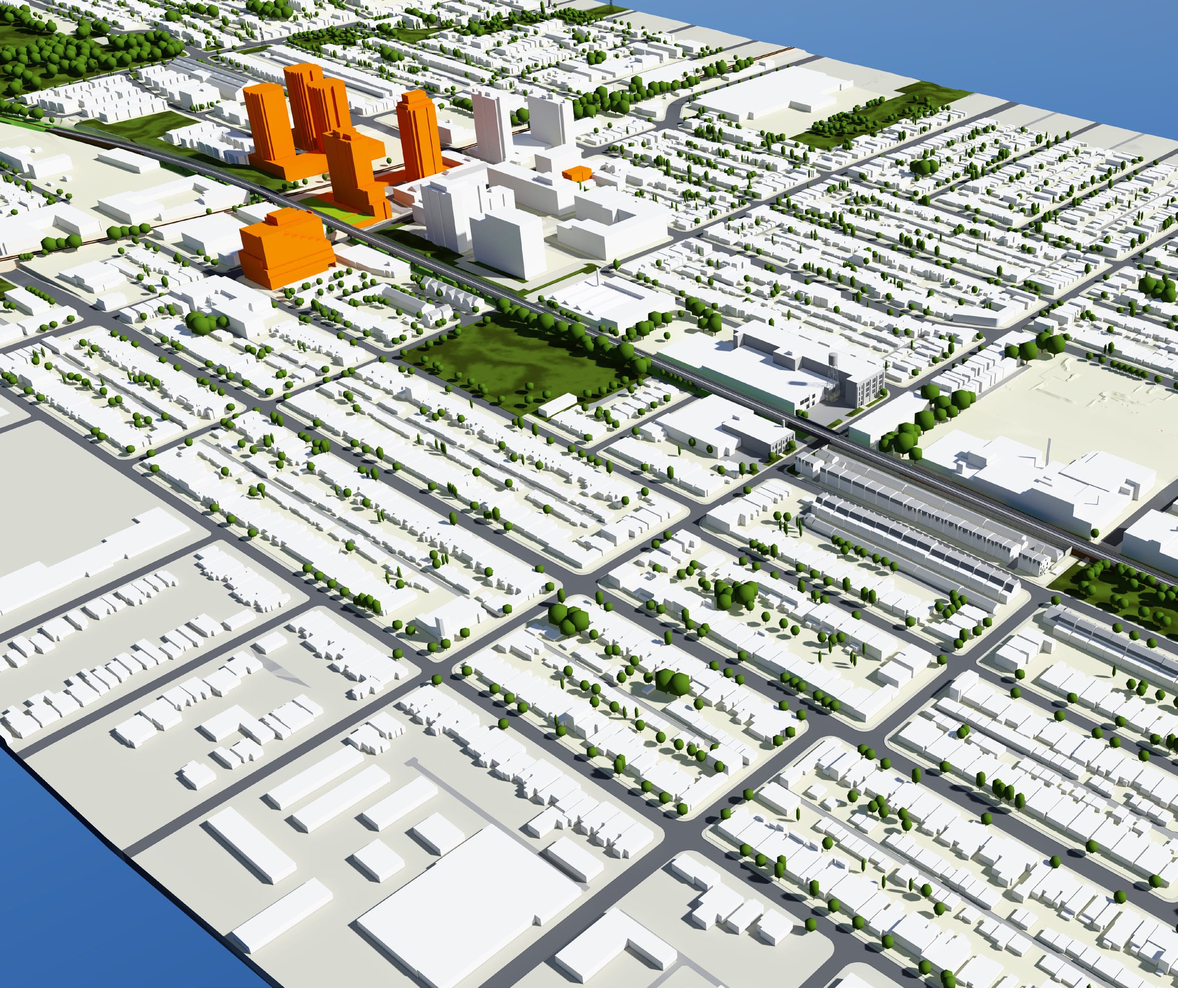
Scrivener Square
2016 - Present
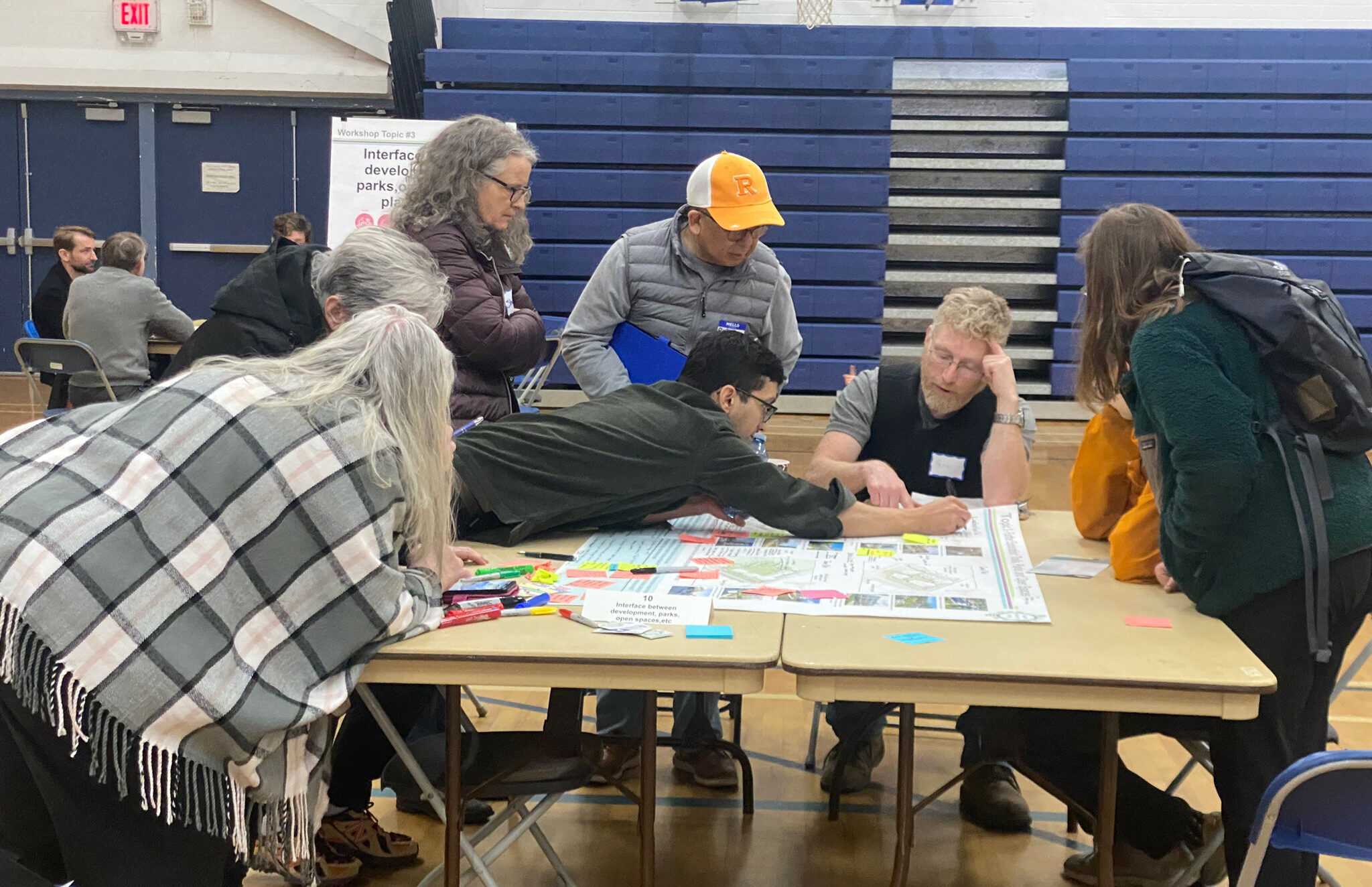
District of Saanich – Quadra Mckenzie Study
2023 - 2024
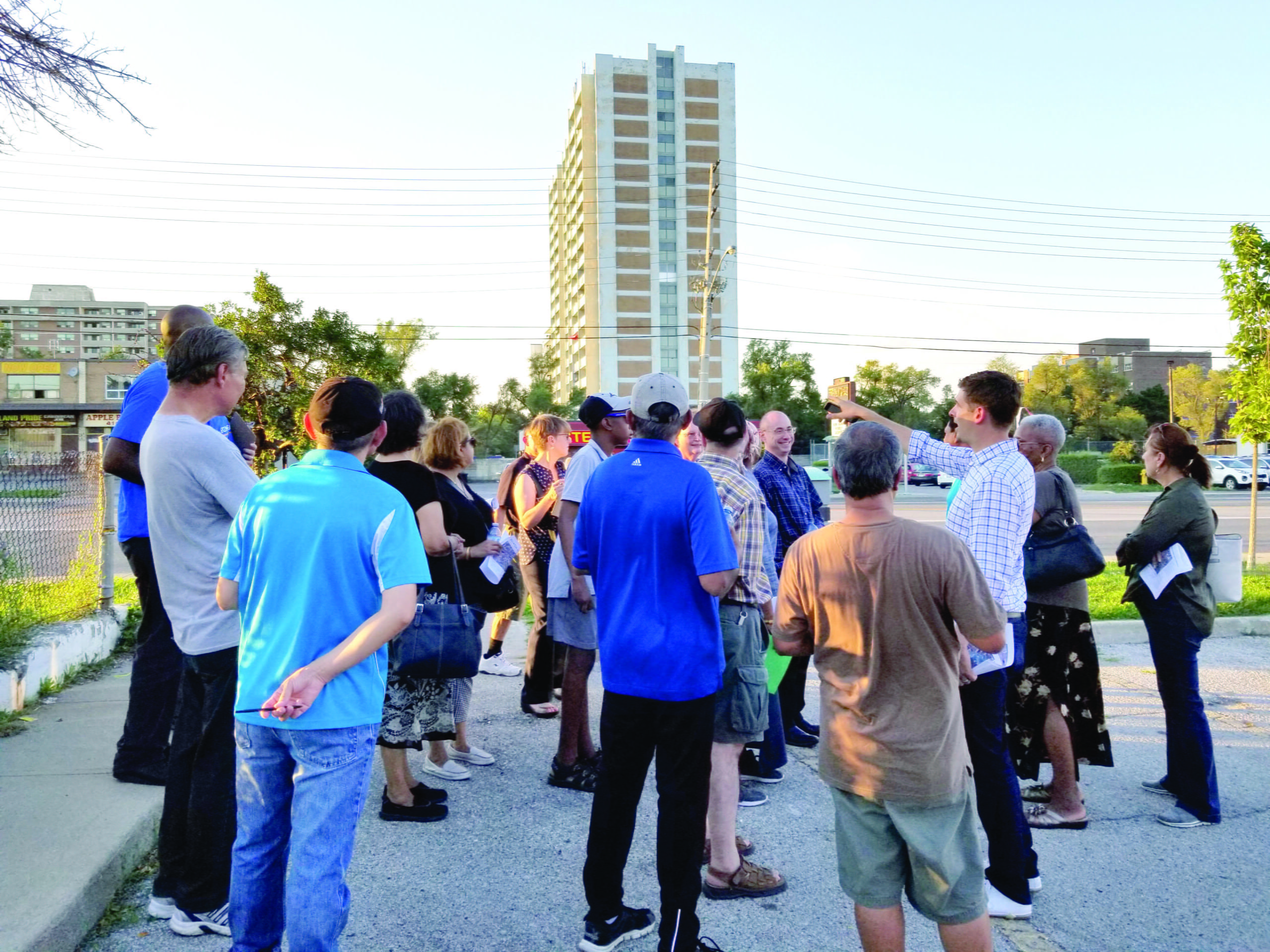
Davenport Diamond Rail Overpass
2014 - 2016
Eglinton East Planning Study
2018 - 2020
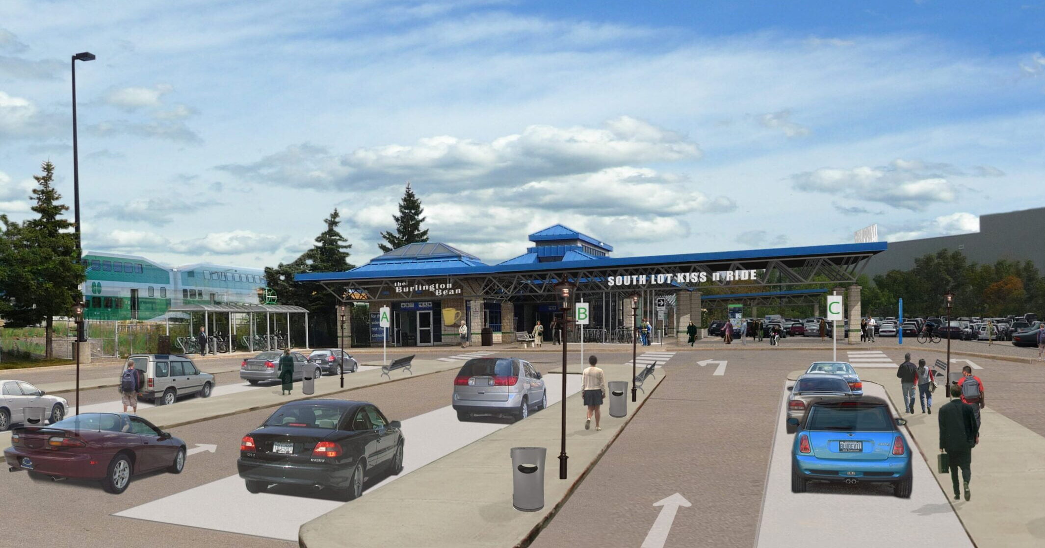
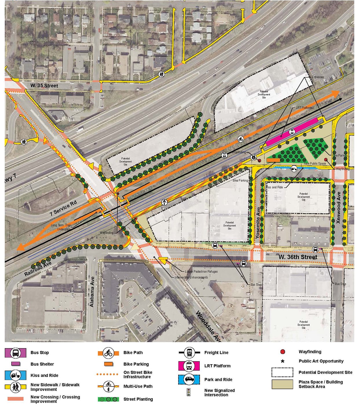
GO Transit- Station Access Strategies
2009 - 2023
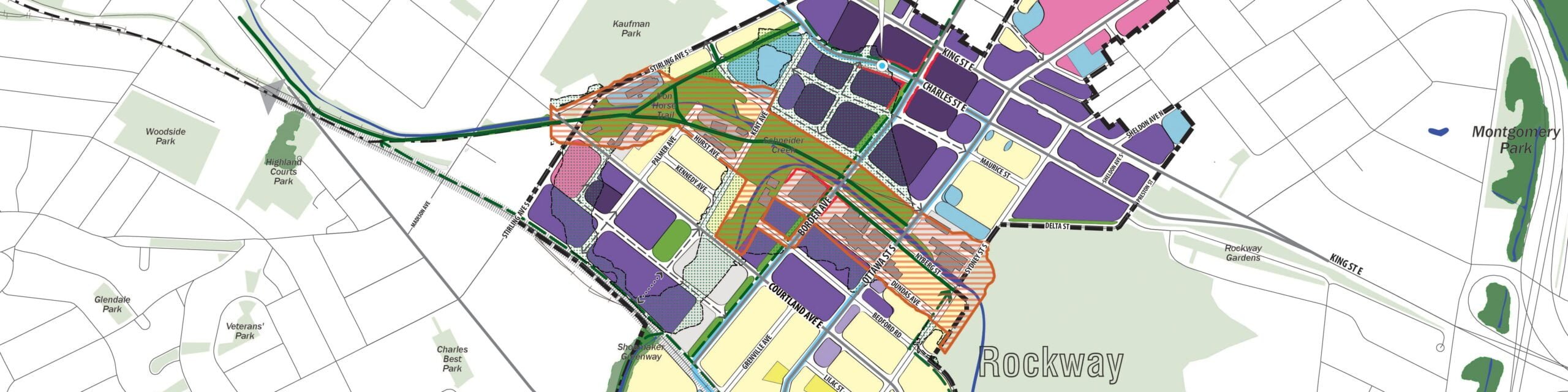
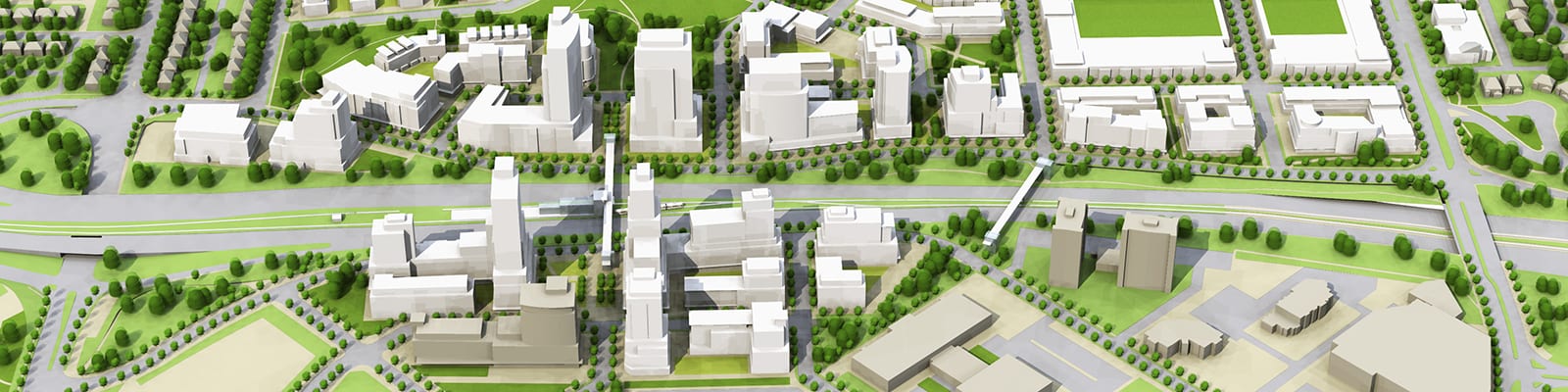
Midtown & Rockway ION LRT Station Area Plans
2016 - 2018
Metrolinx Regional Express Rail (RER) and Initial Business Cases (IBCs)
2016
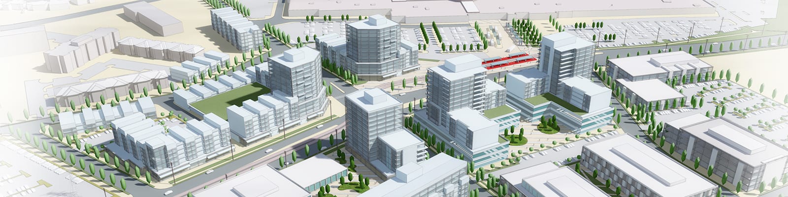
City of Waterloo Station Area Planning
2015 - 2016
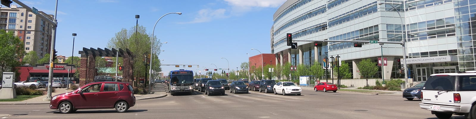
Edmonton LRT Planning
2011 - 2013, 2014 - 2015
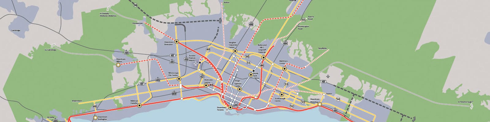
The Big Move Regional Transportation Plan
2007 - 2008
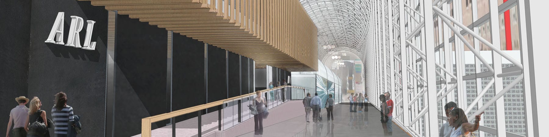
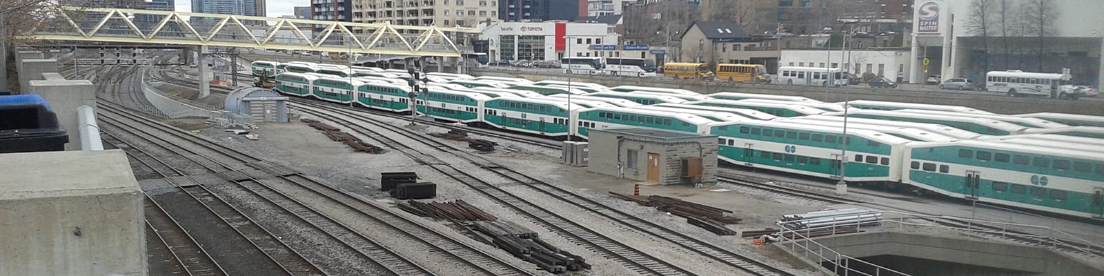
Union Station Air Rail Link
2013

Saint Paul Corridor and Station Area Plans
2007 - 2010
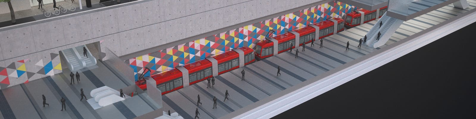
Eglinton Crosstown Study
2010 - 2012
Ontario Transit Supportive Guidelines
2010 - 2012
PATH Master Plan Study
2010 - 2012
Calgary LRT & Station Area Planning
2007 - 2008, 2011
Southwest LRT, Transitional Station Area Plans
2012 - 2013
Waterloo Region Central Transit Corridor
2012 - 2014
McKernan / Belgravia and Mill Woods Station Area Plan
2011 - 2013
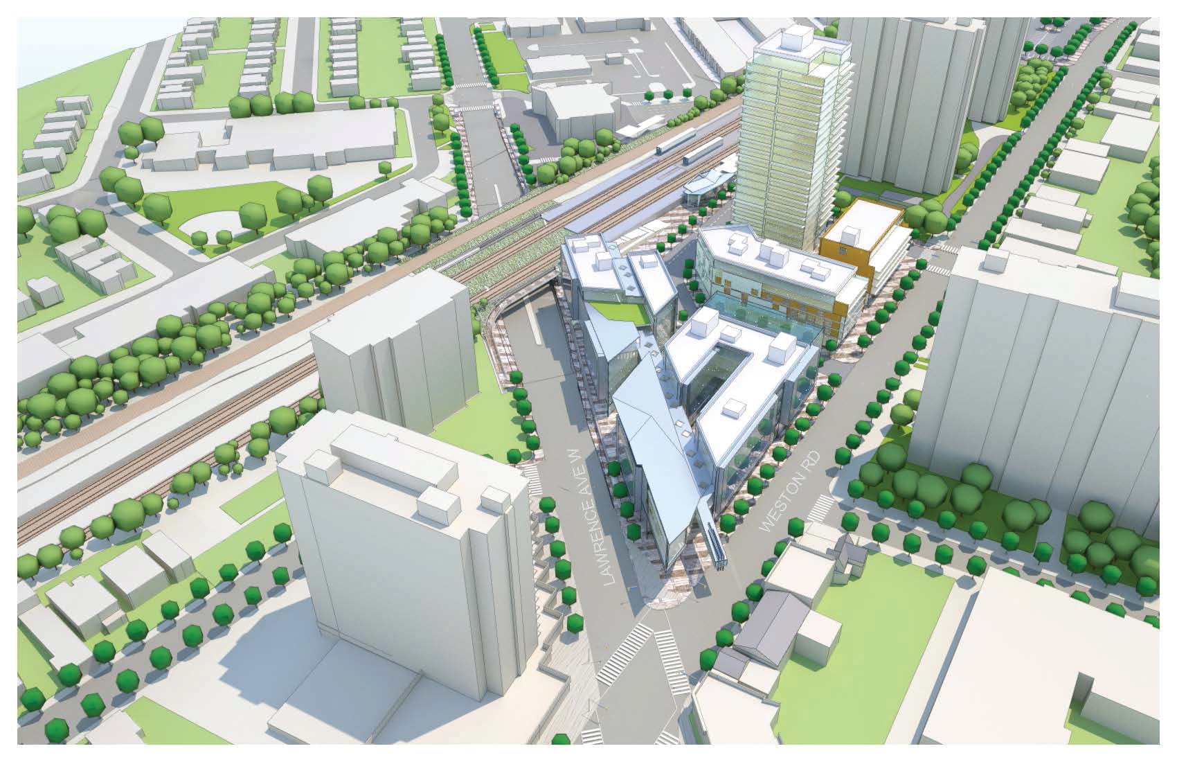
Weston Station Master Plan
2011 -2012