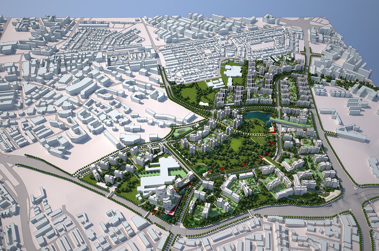
Singapore
2009 - 2013
Urban Strategies has created visionary master plans for several major projects in Singapore.
Cities are complicated. We lead complex projects in cities all over the world. Clients benefit from fresh eyes and understanding of global best practices, with no preconceived approach or end solutions envisioned. We try and make the complicated simple.
Filter
Davenport Diamond Rail Overpass
2014 - 2016
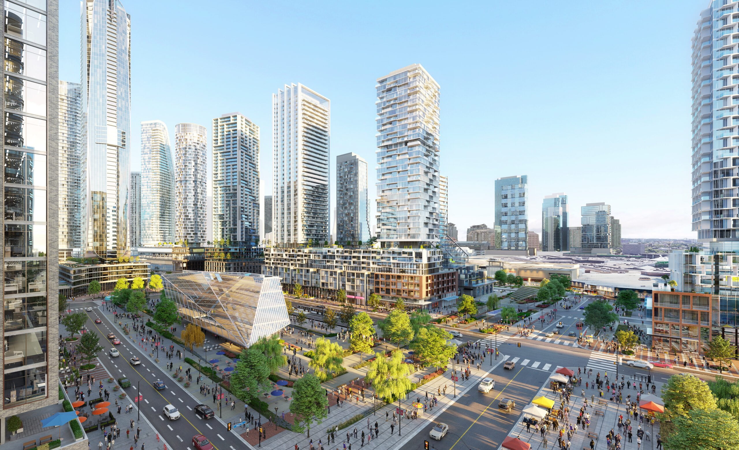
Square One District
2001 - Present
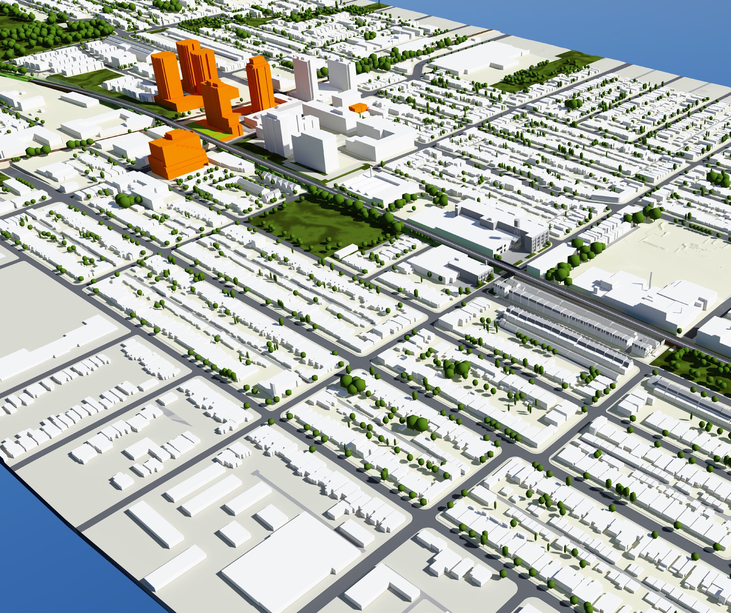
Jane Finch Mall Redevelopment
2018 - Present

Canada Square
2017 - Present
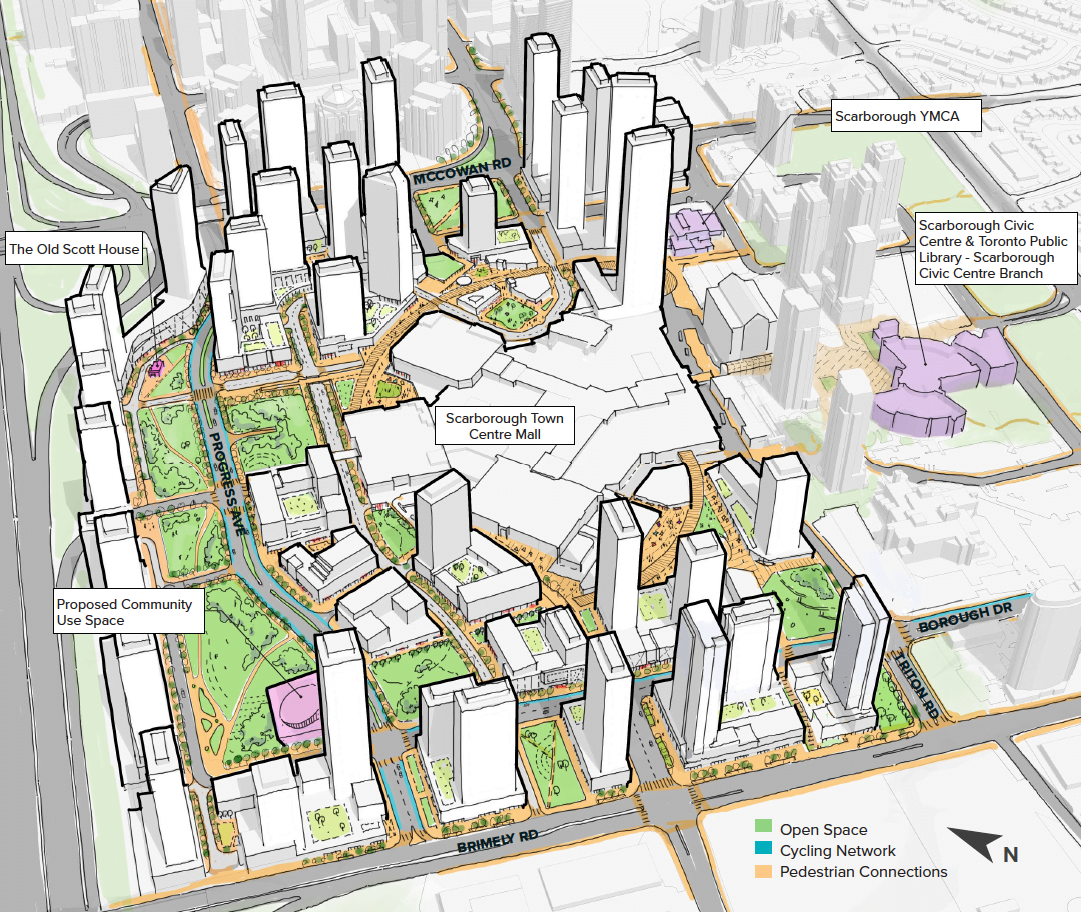
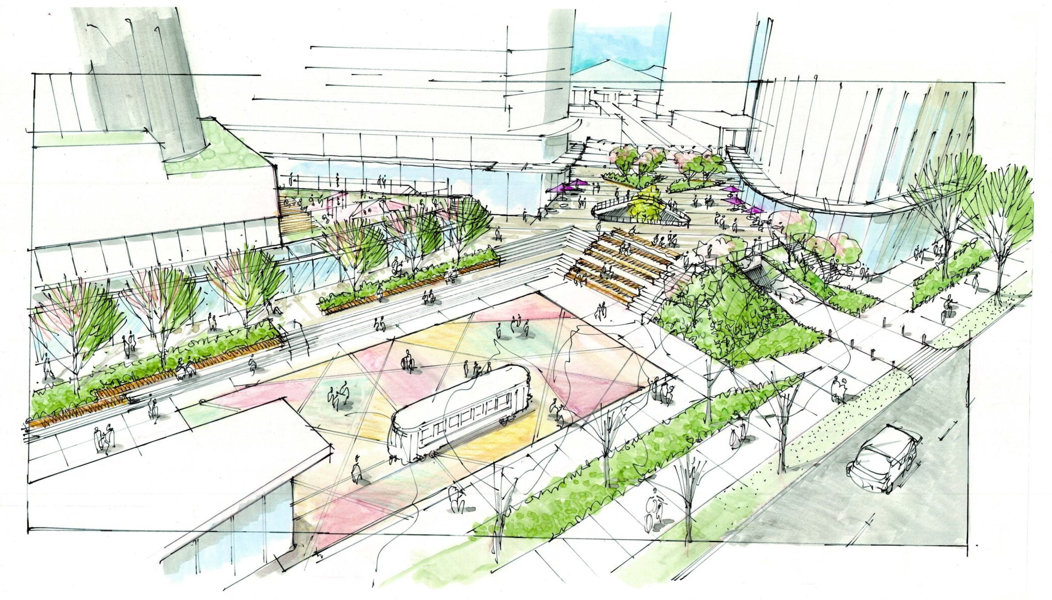
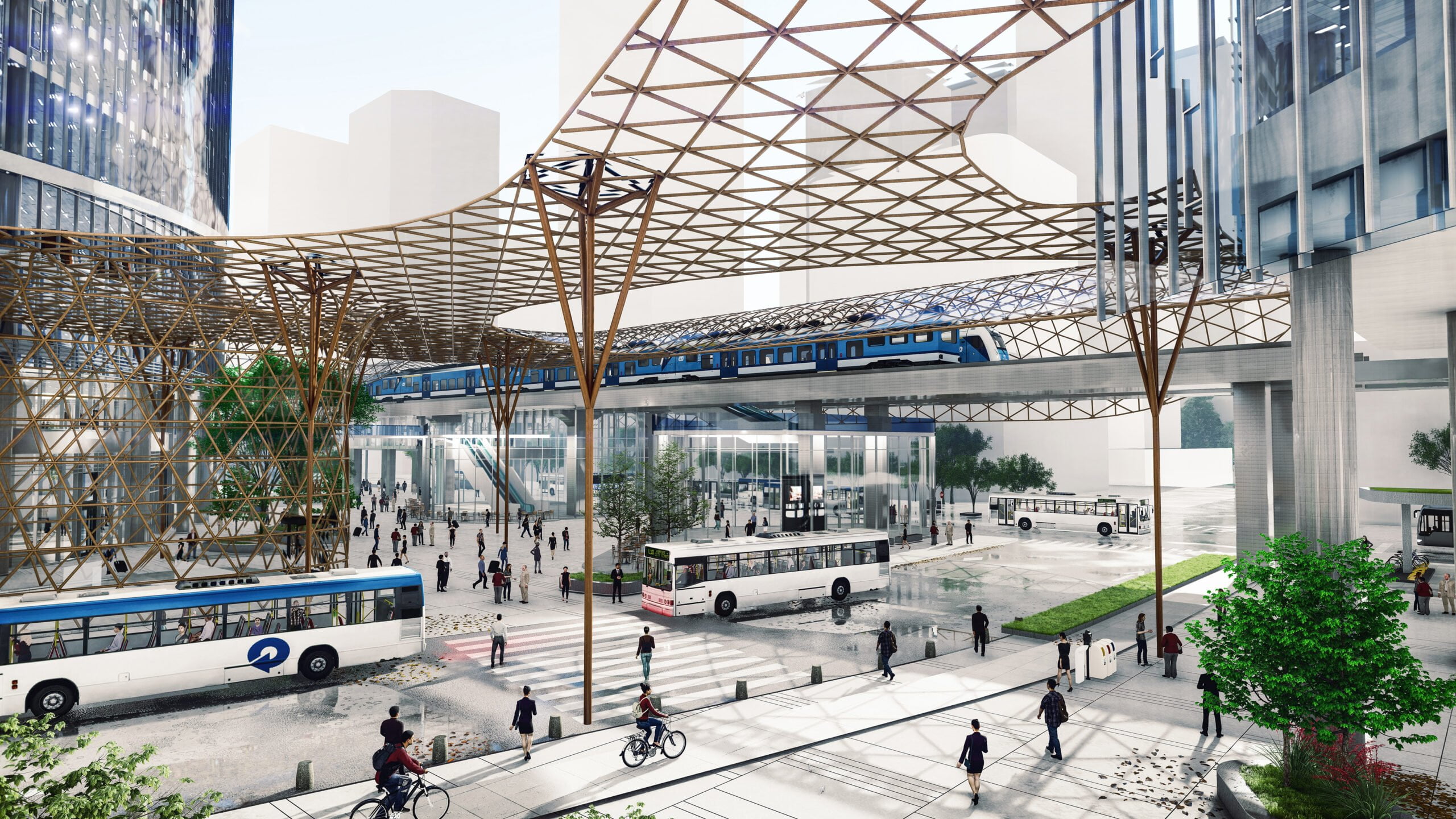
Scarborough Town Centre Master Plan
2016 – Present
Kingsway Edmonds Redevelopment
2020 - Present
Surrey Centre Block Master Plan
2018 - 2019
Eglinton East Planning Study
2018 - 2020
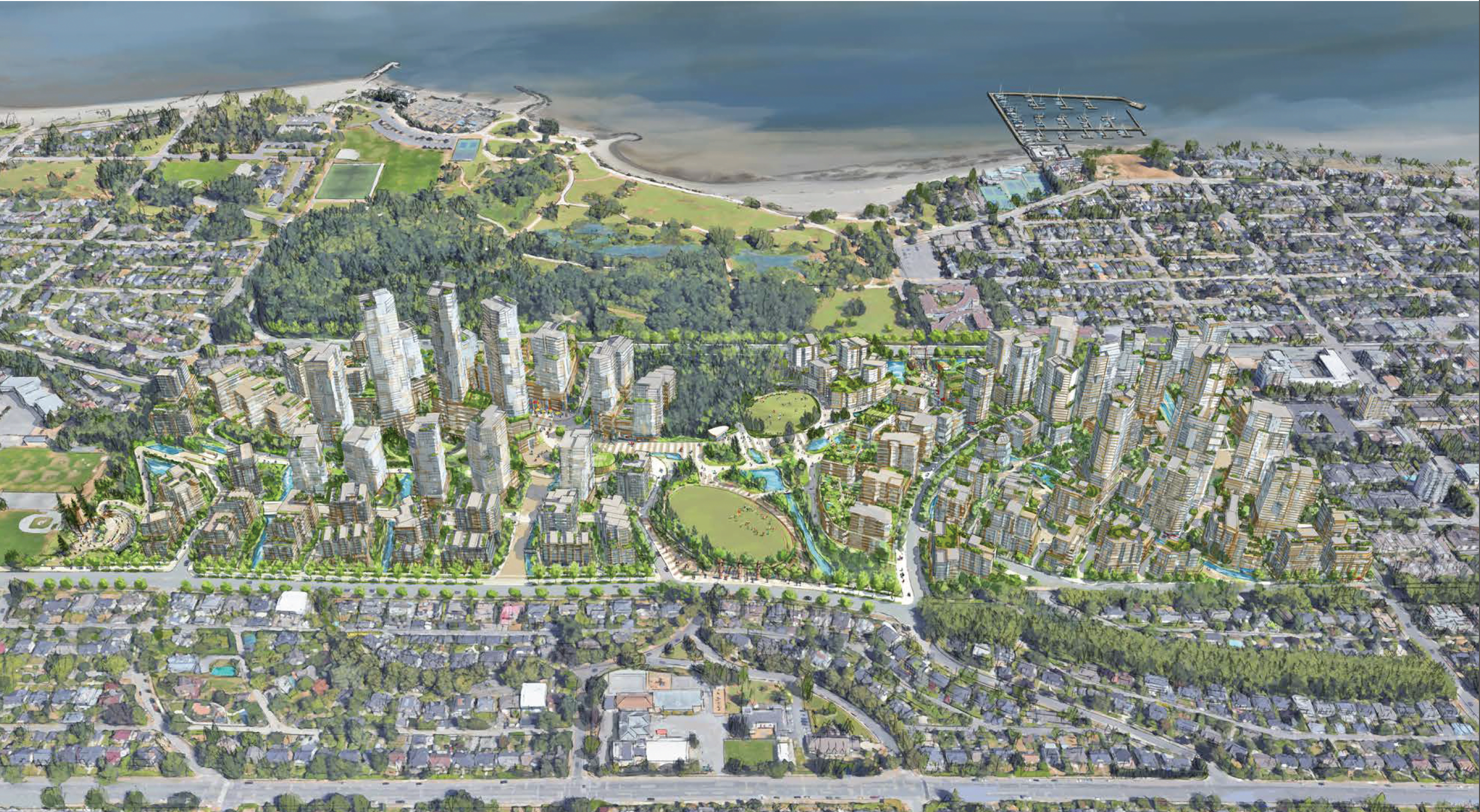
ʔəy̓alməxw/Iy̓álmexw Jericho Lands
2020 - 2024
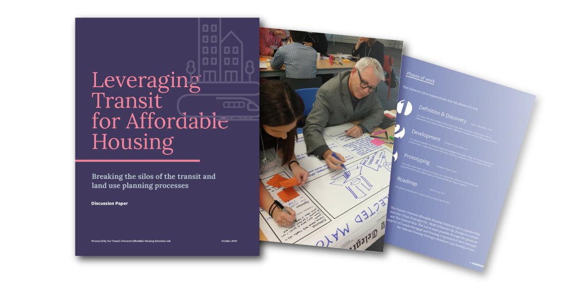
Transit-Oriented Affordable Housing Solutions Lab
2019 - 2020

Downsview
2018 - Present
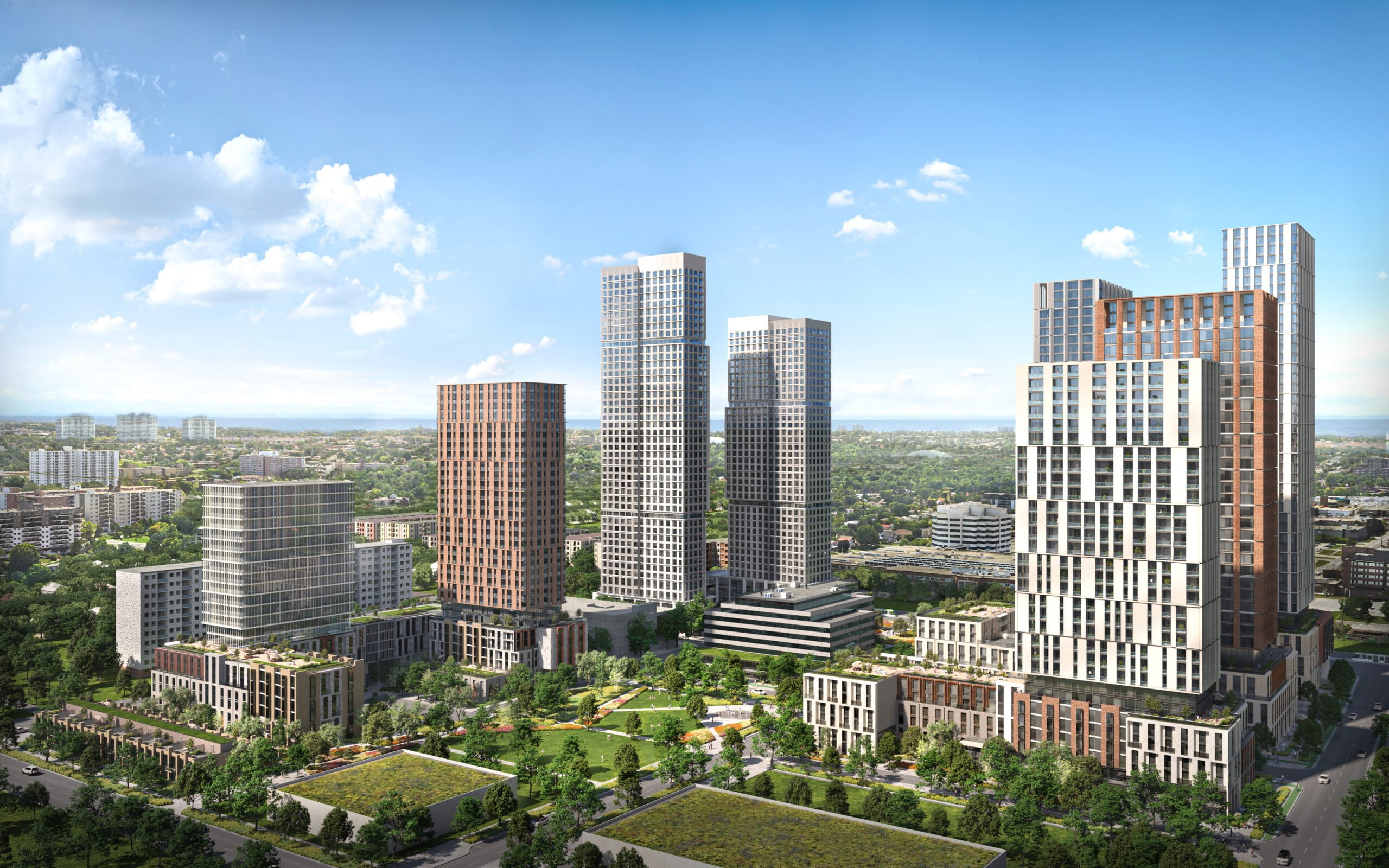
2200 Eglinton Avenue East
2017 - Present
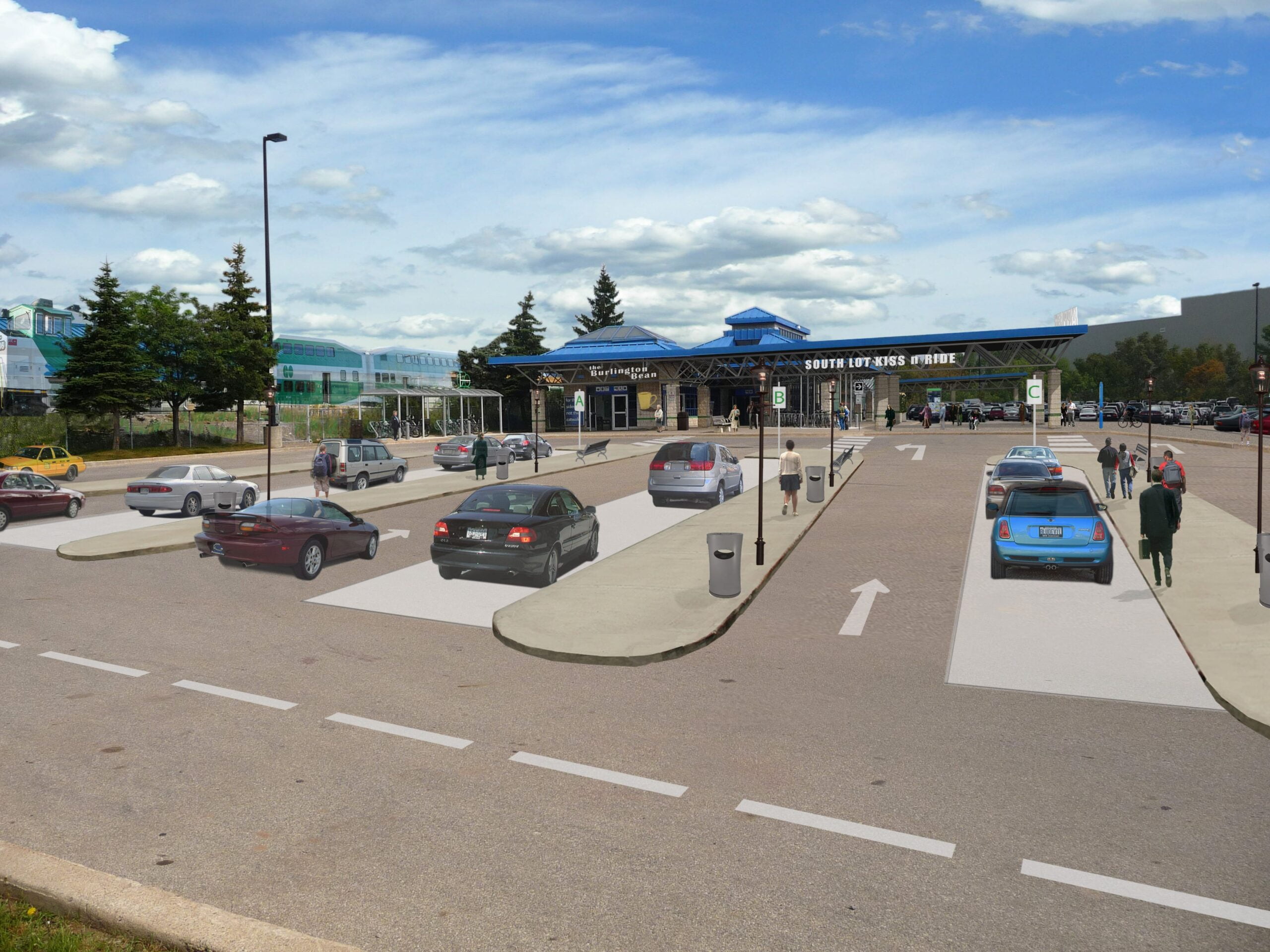
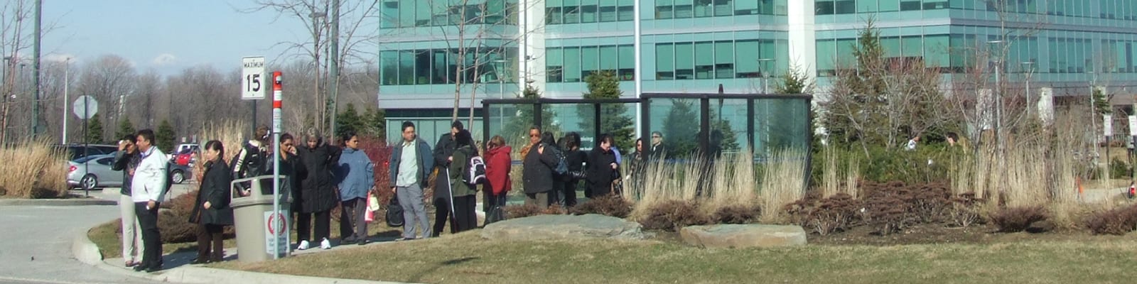
GO Transit- Station Access Strategies
2009
Transit Oriented Development Opportunities Analysis
2004
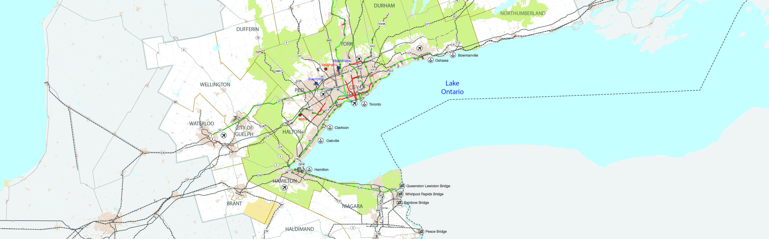
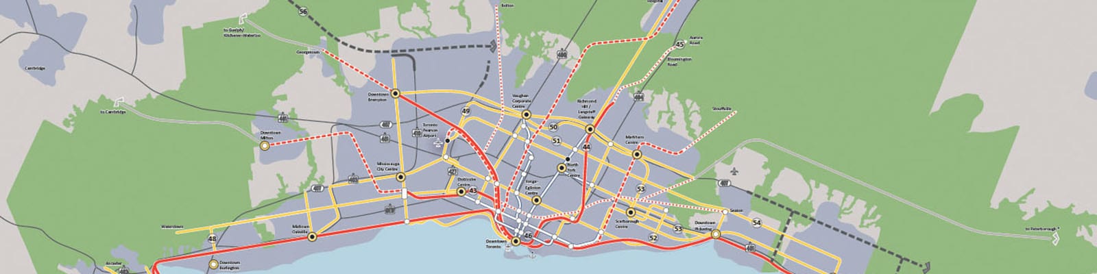
Greater Golden Horseshoe Transportation Plan
2016 - 2021
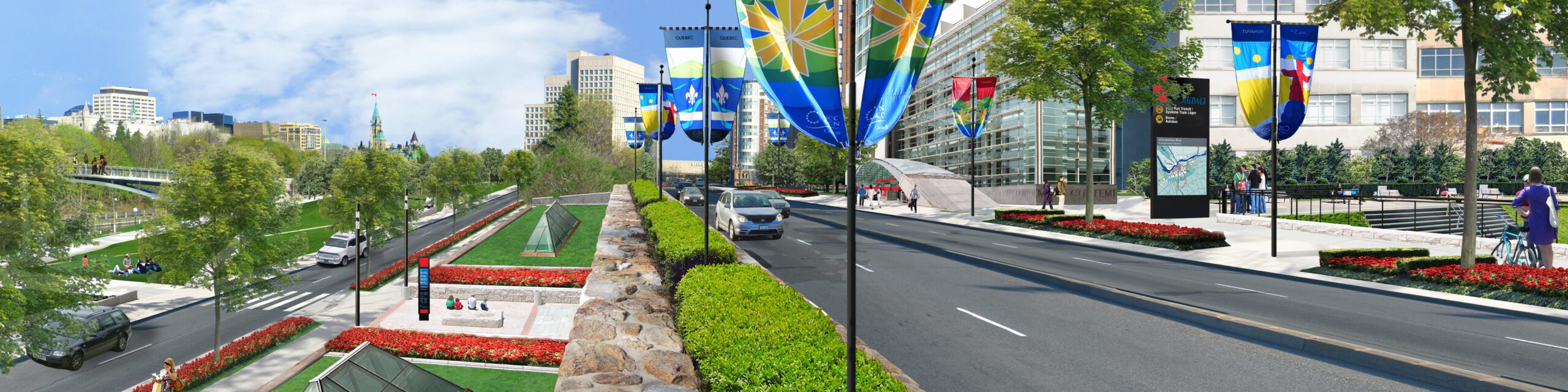
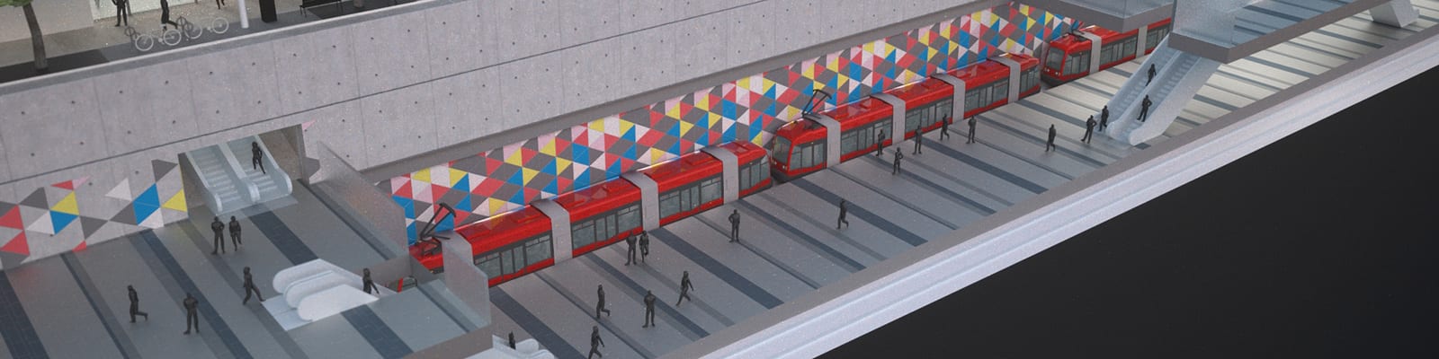
Ottawa LRT Implementation
2006 - Present
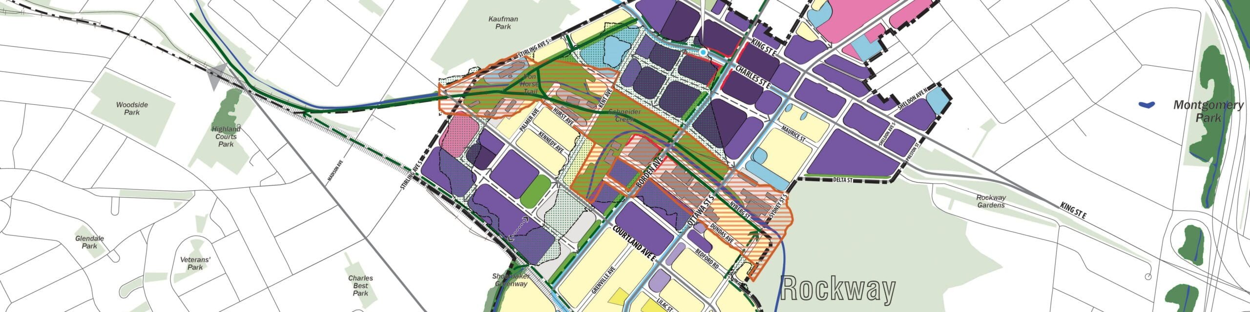
Midtown & Rockway ION LRT Station Area Plans
2016 - 2018
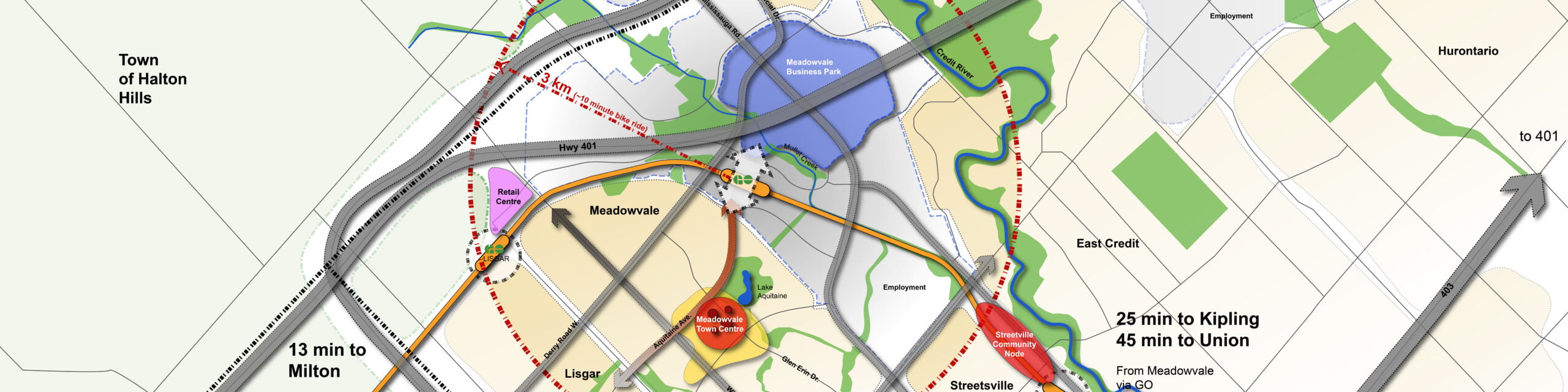
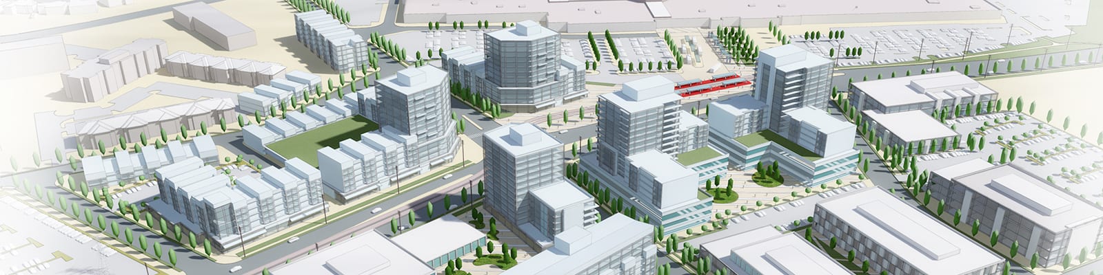
Meadowvale GO Station Area Plan and Joint Development Study
2014 - Present
City of Waterloo Station Area Planning
2015 - 2016
Edmonton LRT Planning
2011 - 2013, 2014 - 2015
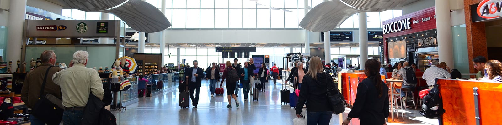
Toronto Pearson Airport Capacity Study
2015
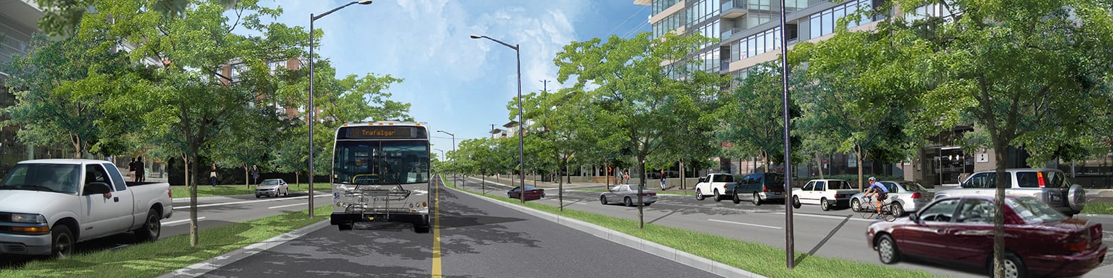
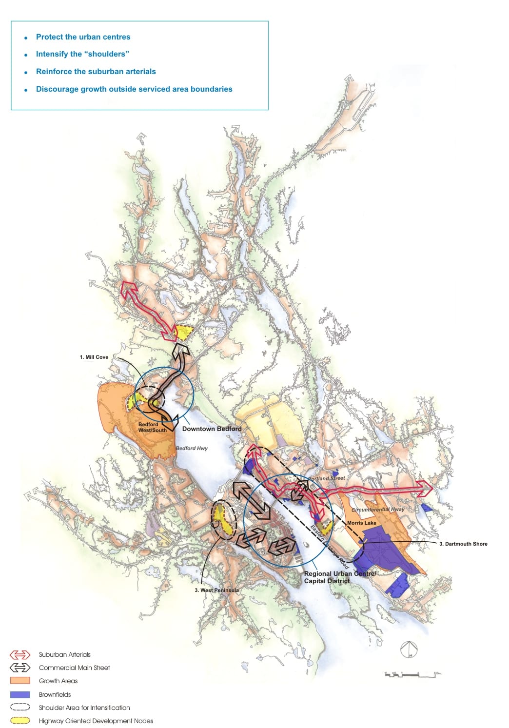
Halton Region
2007 - 2010
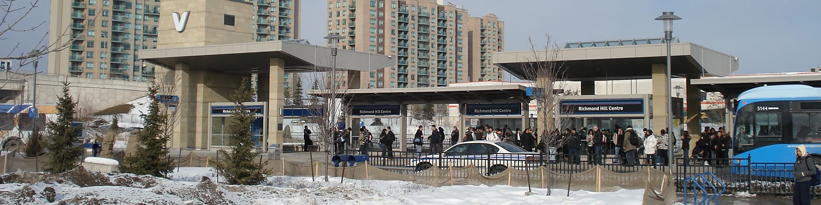
Richmond Hill Regional Centre Study
2008 - 2010, 2012 - 2021
The Big Move Regional Transportation Plan
2007 - 2008
Durham Regional TOD Study
2009
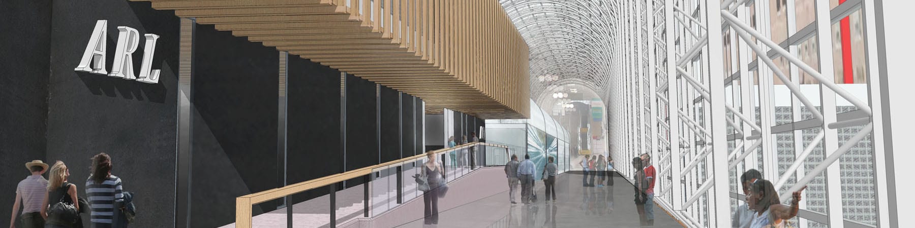
Union Station Air Rail Link
2012

Saint Paul Corridor and Station Area Plans
2007 - 2010
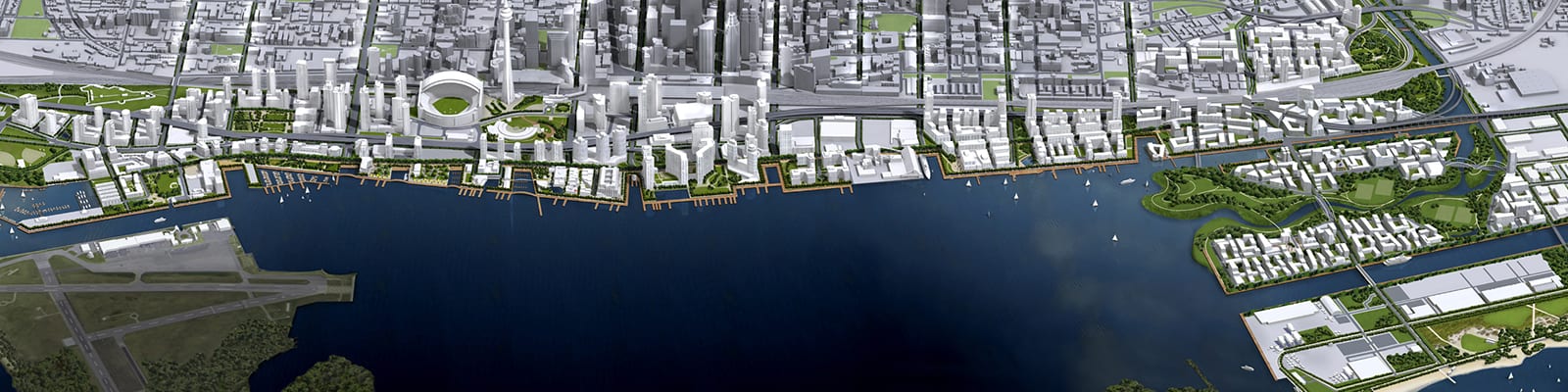
Toronto Waterfront Revitalization
2000 - Present
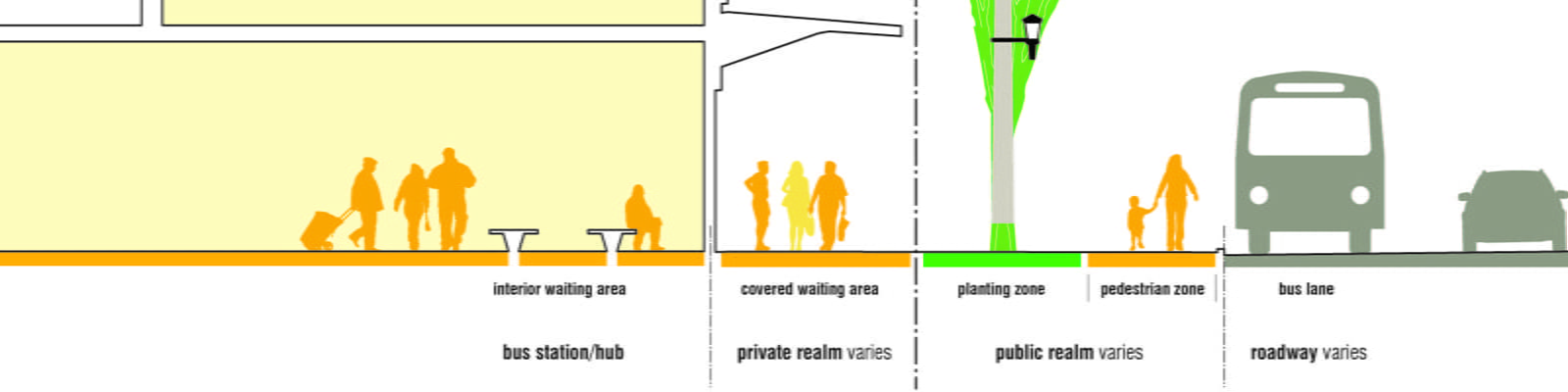
Eglinton Crosstown Study
2010 - 2012
Ontario Transit Supportive Guidelines
2010 - 2012