
Four decades of people & places & process & ideas & culture
Places
1. Waterfronts: Reconnecting cities with the water
2. Centres: Planning the conditions for urban life
3. Neighbourhoods: Making room for community
Waterfronts: Reconnecting cities with the water
Few planning achievements are as visible as a waterfront becoming part of its city again. Former industrial lands gain streets, parks and neighbourhoods; new public access changes how people experience the water and city around them. Urban Strategies’ waterfront work has contributed to these transformations for four decades.
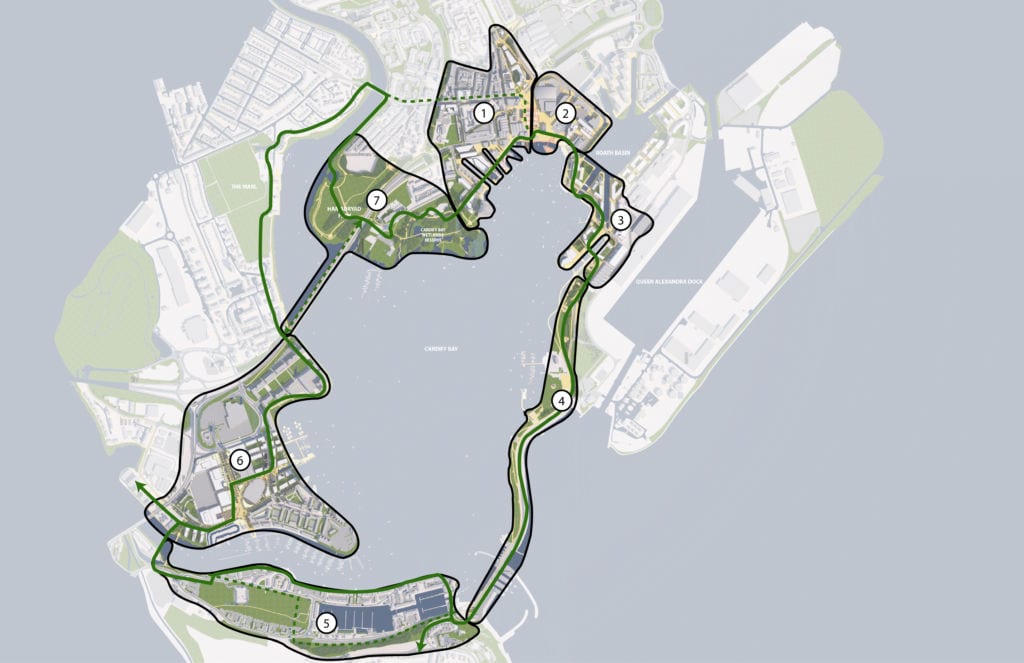
Early assignments reshaped London’s Docklands, including Canary Wharf, Canada Water, Silvertown Quays and ExCeL, guiding how former docks could become connected urban districts. In Cardiff Bay, our waterfront master plan connected development opportunities, heritage destinations and public spaces through a proposed continuous pedestrian and cycling circuit. In Cork’s South Docklands, our master plan and vision brought sustainable community planning to a major extension of the city centre.
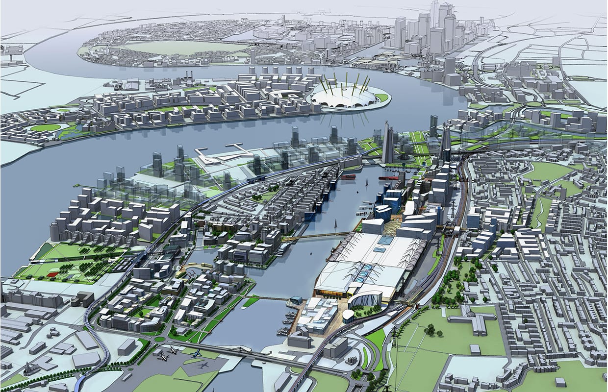
In Singapore, our Greater Southern Waterfront framework envisioned a series of mixed-use districts and open spaces, connecting the ambitions of a global city with the quality and character of everyday neighbourhoods. Alongside our planning for Punggol, this work expanded the practice’s experience in coordinating waterfront growth, landscape and infrastructure over long development horizons.


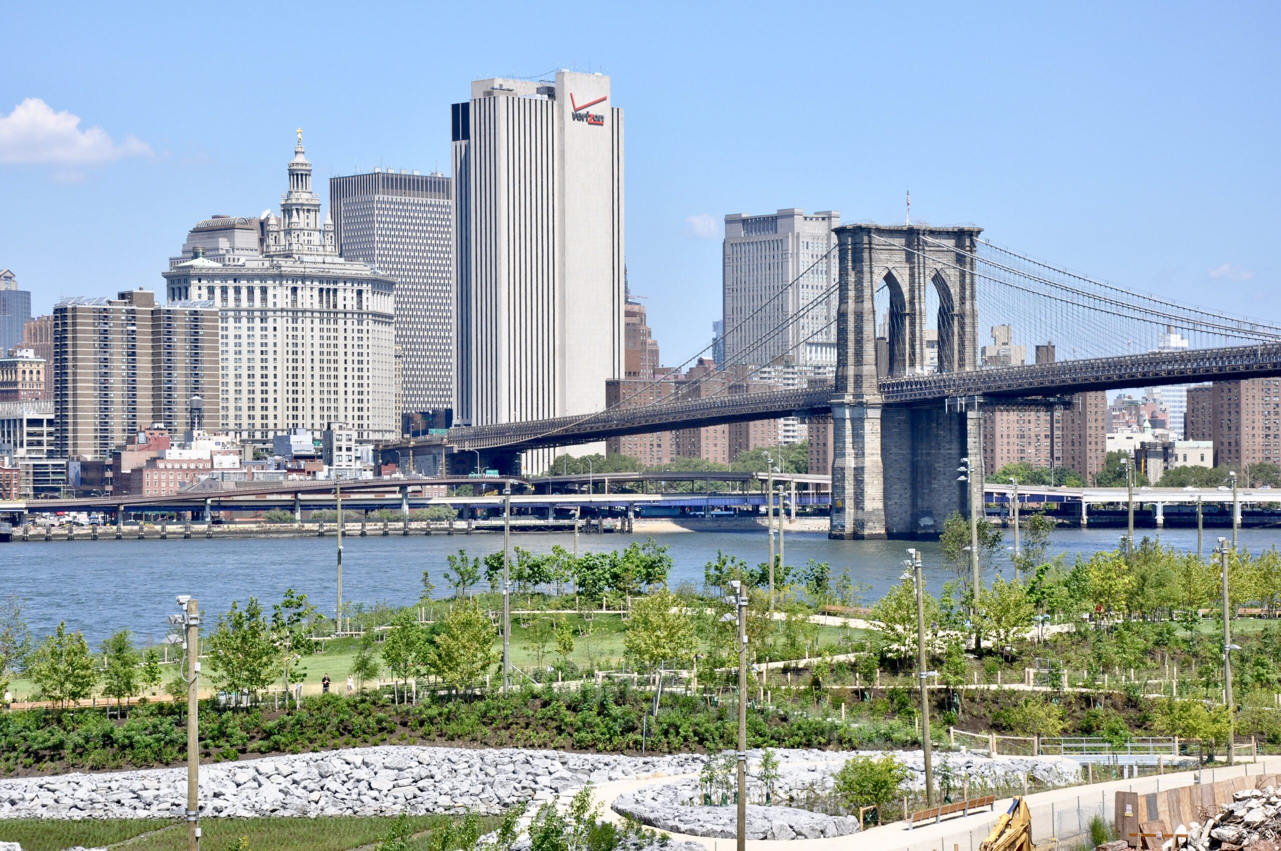
Work in Boston and New York, including the now-completed Fan Pier, Brooklyn Bridge Park and Governors Island, brought further opportunities to reconnect waterfront land with public life. That experience also extends to riverfronts. In Troy, New York, our Realize Troy initiative integrated a waterfront master plan with an economic strategy and city-wide comprehensive plan, positioning the Hudson River as part of the city’s broader renewal. Our work along Buffalo’s riverfront identified Silo City’s historic grain elevators as strategic assets for redevelopment and cultural reuse, while the North Riverfront Open Space and Redevelopment Plan in St. Louis explored how parks, improved connections, adaptive reuse and new development could reconnect the city with the Mississippi River.
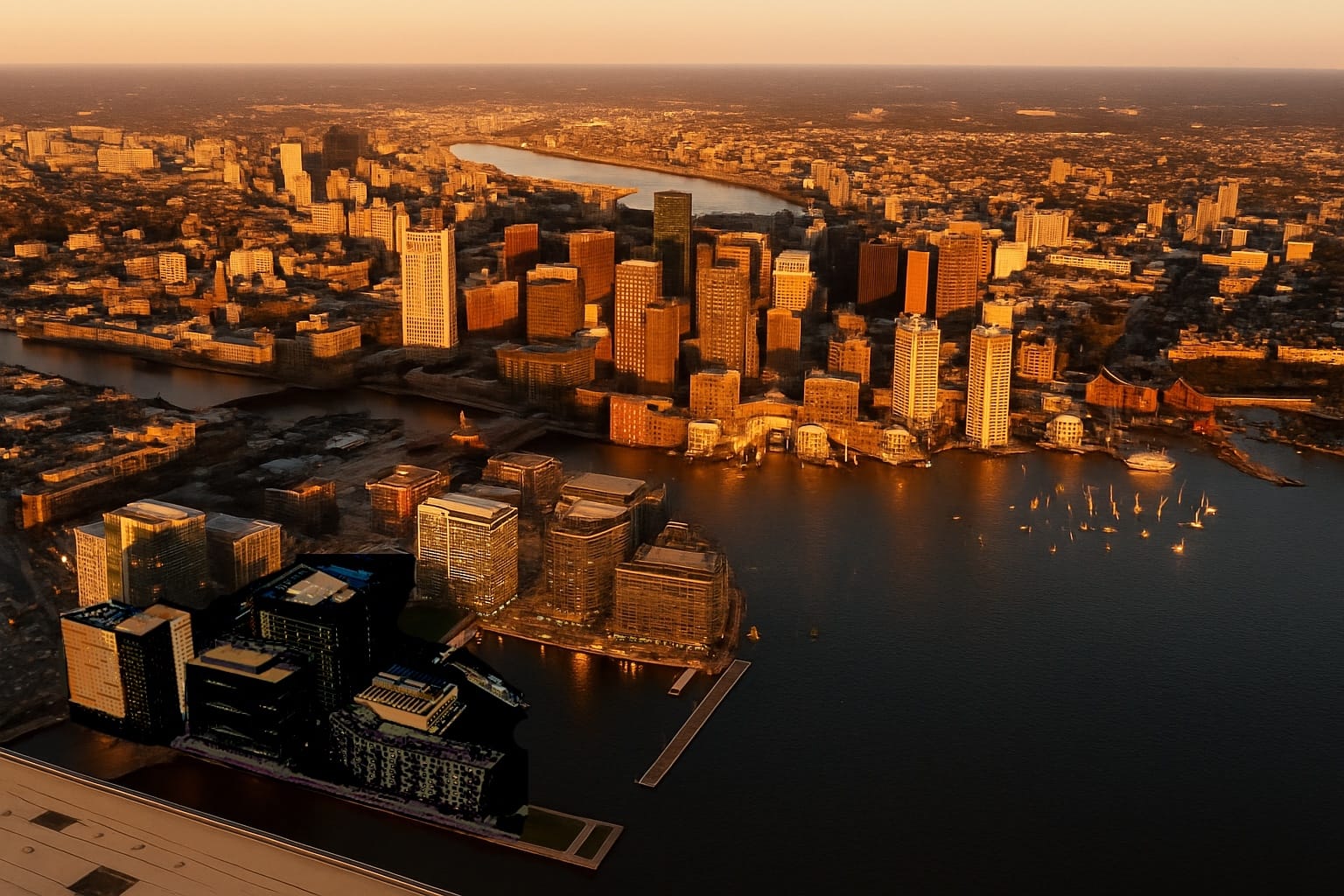


In Toronto, Urban Strategies has been closely involved in waterfront renewal for more than 25 years, helping shape its direction and carry it through successive stages of implementation. Our role has extended from preparing the Central Waterfront Secondary Plan and supporting the establishment of Waterfront Toronto to precinct planning, development approvals, implementation strategies and developer selection. This sustained involvement has connected the waterfront’s larger ambitions with the detailed decisions, partnerships and investments needed to realize them. In the West Don Lands, East Bayfront and Port Lands, our work has brought land use, housing, heritage, infrastructure and public space into coordinated planning frameworks. Working with Waterfront Toronto, governments, communities and interdisciplinary consultant teams, we have helped establish how former industrial lands could become complete neighbourhoods. At Ookwemin Minising, we led the precinct planning team, connecting the opportunities created by flood protection and the naturalization of the Don River with a vision for a sustainable, inclusive island community. Our involvement has continued as these frameworks become development projects and public places. We have supported developer procurement and implementation, contributed to planning at Quayside, and guided planning and approvals for rental and affordable housing in the West Don Lands for Dream, Kilmer and Tricon. At Bathurst Quay, our neighbourhood plan connected community priorities with waterfront public spaces and the future of the Canada Malting Silos.
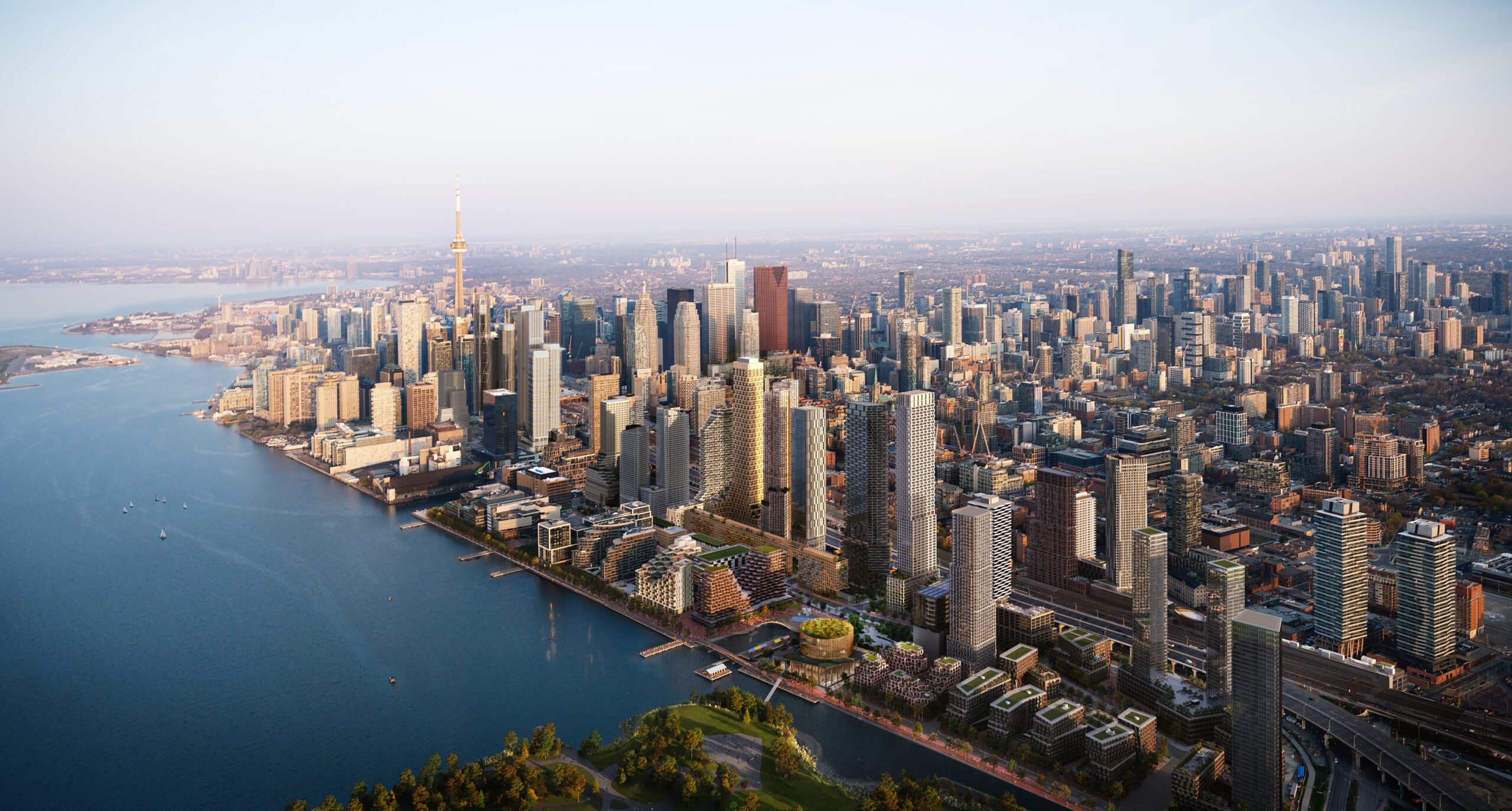

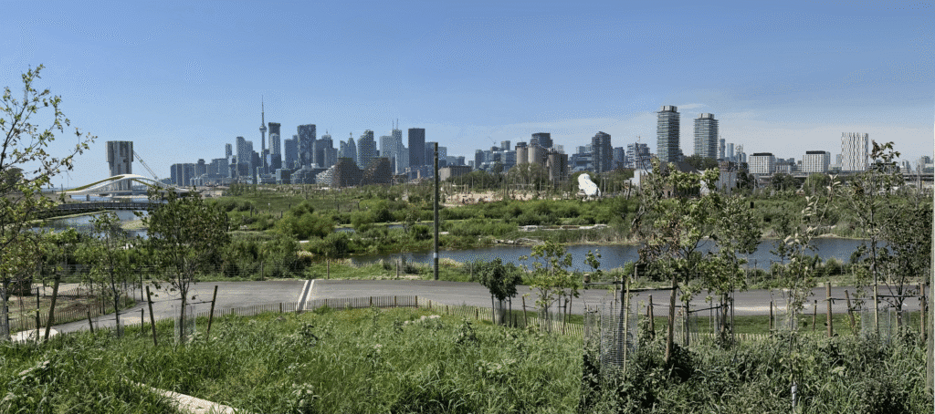
Brightwater and Lakeview extend this experience along Mississauga’s shoreline, transforming former industrial properties into waterfront communities. At Brightwater, our master planning and approvals work is helping reconnect the former Imperial Oil lands with Port Credit through new housing, streets, parks and public access to Lake Ontario. At Lakeview, we led a community-driven visioning and master planning process for the former generating station lands, establishing a framework for a complete community with an expanded network of public spaces. Today, at Destination Wasaga, the world’s longest freshwater beach, we are connecting the beach, riverfront and downtown through coordinated planning for tourism, cultural destinations, public space and investment, strengthening both the visitor experience and year-round community life.


These places demonstrate the value of sustained collaboration. Environmental repair, public investment and development proceed through many decisions and delivery partners. Planning provides the framework that connects them.
As waterfront communities confront changing environmental and housing needs, this experience opens further possibilities. We look forward to helping cities make more of their relationship with the water through accessible public places, resilient landscapes and neighbourhoods built for the long term.
Centres: Planning the conditions for urban life
A thriving centre gives people reasons to arrive, stay and return. Housing, employment, transit and public space work together to sustain its activity. Helping establish those relationships has been a defining part of Urban Strategies’ first 40 years.
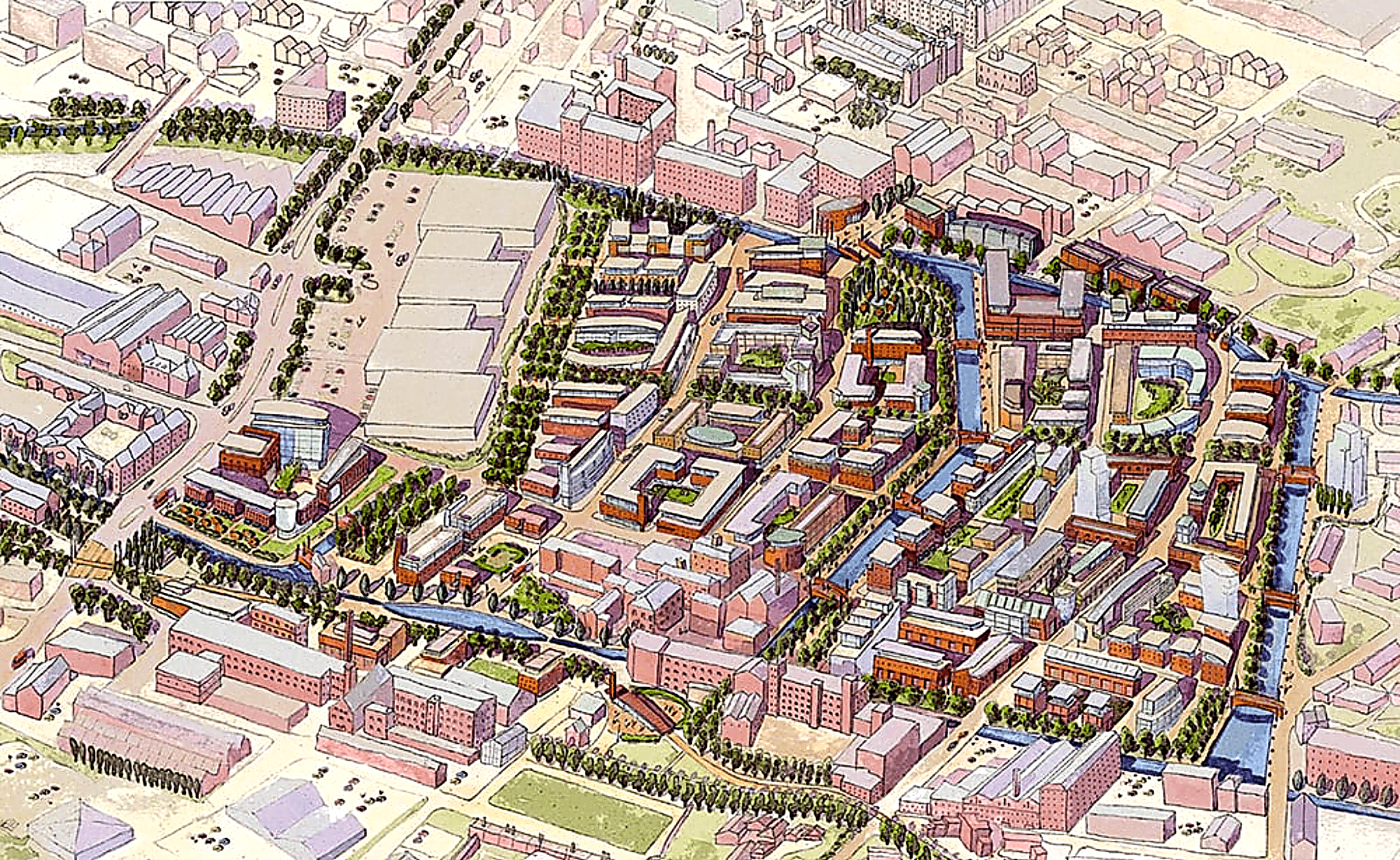
In Manchester, work on Hulme’s regeneration expanded into city-centre rebuilding after the 1996 bombing and strategic planning for East Manchester. In Detroit, our Downtown Reinvestment Strategy identified Campus Martius as a focus for renewal and strengthened connections to the riverfront. These connected a larger direction for regeneration with the investments needed to support it.

Transit has provided another opportunity to shape urban centres. The Twin Cities’ Central Corridor strategy and station-area plans linked light rail investment with development in 15 neighbourhoods, considering each place within a larger network. Urban Strategies has supported Metrolinx, the TTC and Infrastructure Ontario in connecting transit investment with city-building, from regional strategies and corridor planning to station design guidance and transit-oriented communities. Our work includes the Eglinton Crosstown design framework, Mount Dennis Mobility Hub, Eglinton East planning study, business cases for proposed GO rail stations and planning for Infrastructure Ontario’s Whitby GO Transit-Oriented Community. These assignments integrate land use, public realm, community priorities and implementation to help transit investment support more complete, connected communities.

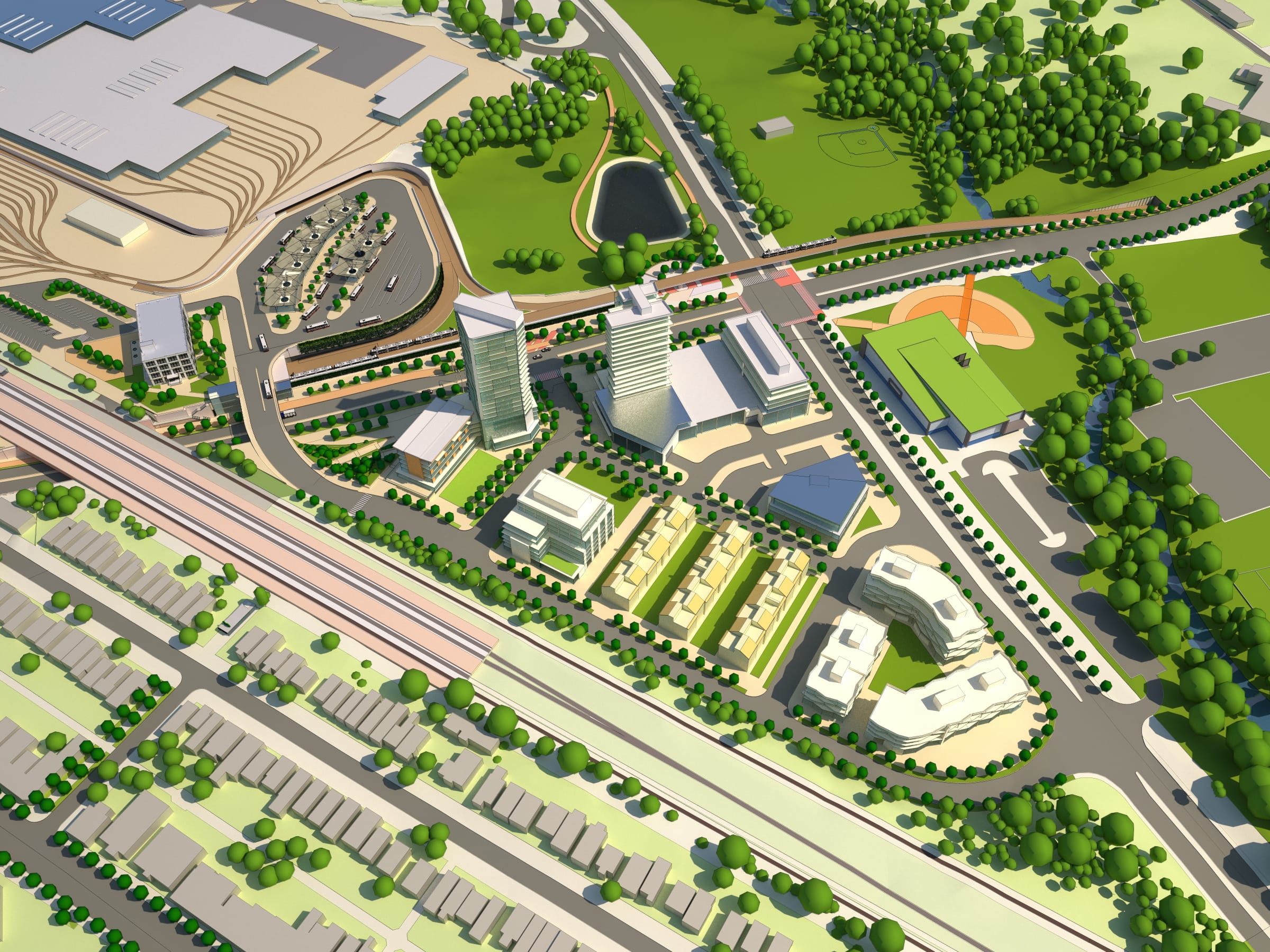
Our work for transit agencies directly complements work in Vaughan Metropolitan Centre, Markham Centre, Richmond Hill Regional Centre and Midtown Oakville, which has helped establish the policies and urban structure for more complete, transit-oriented centres


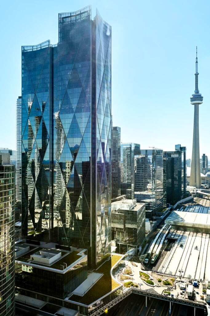
Our work at CIBC Square, The Well and East Harbour illustrate how major projects are shaping emerging downtown districts in Toronto. Together, they anticipate more than 14 million square feet of office space and approximately 5,700 homes, connecting growth with transit, parks and pedestrian public spaces. From master planning through approvals, Urban Strategies has helped establish the framework for these new centres of activity, with CIBC Square and The Well earning recognition from Council on Vertical Urbanism (formerly CTBUH), the City of Toronto, Grands Prix du Design and World Architecture News.

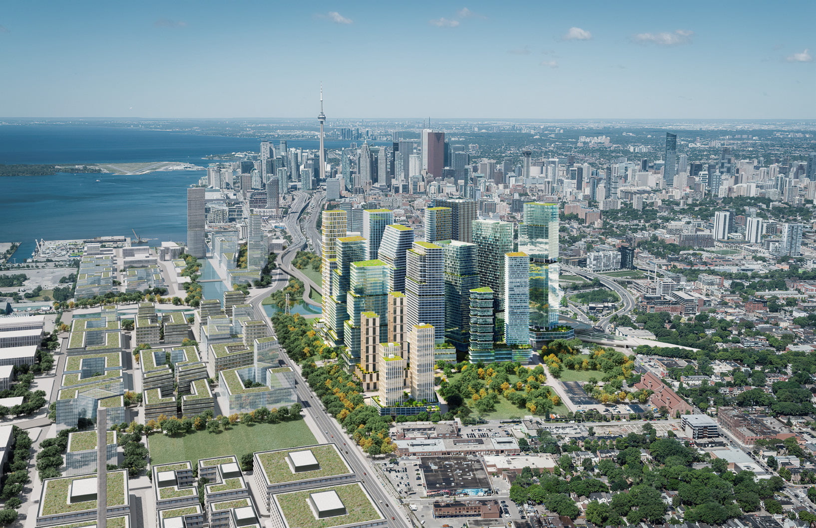
Together, these projects show how individual investments can contribute to a more connected and useful city. The next chapter will bring new opportunities to strengthen established centres and help emerging ones mature. Our ambition remains to connect growth with the urban life that gives a centre its purpose.
Neighbourhoods: Making room for community
More homes, high quality public spaces and stronger connections can transform a neighbourhood’s prospects. Planning that change begins with understanding the people, businesses and relationships already there.
Urban Strategies’ neighbourhood work has brought that perspective to social housing renewal, retail redevelopment and large new communities. The achievements of the past four decades demonstrate how growth can be shaped around community priorities.
At Alexandra Park, work with Toronto Community Housing, Tridel and residents has guided a long-term revitalization, retaining or replacing existing TCHC homes and supporting tenants’ ability to remain in their community. A master planned mixed-tenure new development better connect to the city and are part of a wider commitment to continuity and renewal. We are proud that this project was recognized with a Global Award of Excellence by the Urban Land Institute. At Mirvish Village, planning for the Honest Ed’s lands brought rental and affordable housing together with heritage buildings, retail, a public market and gathering spaces. The project connects substantial development with the character and urban grain of its surroundings.
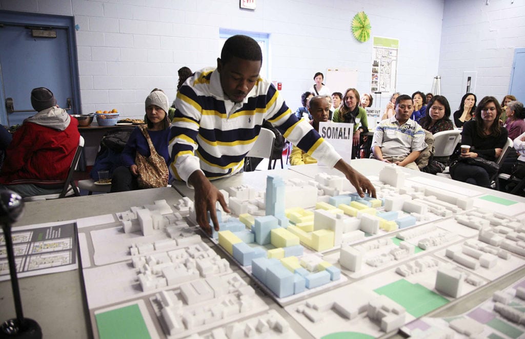
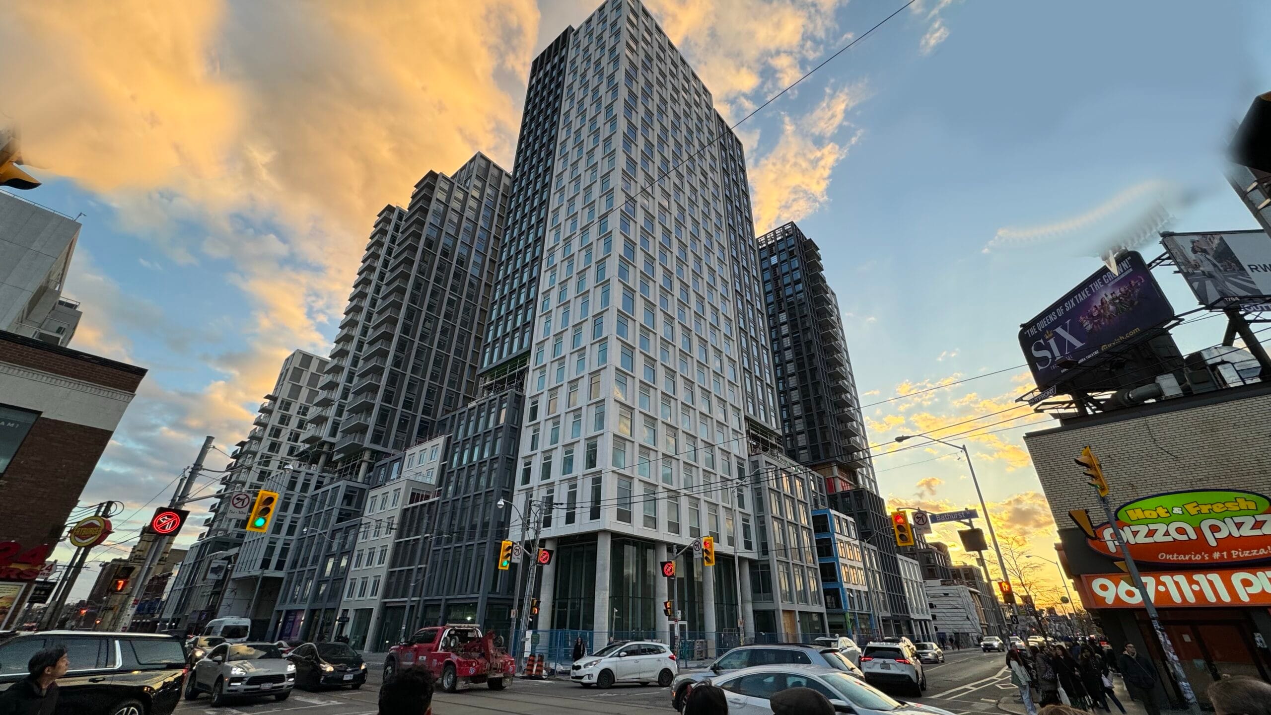
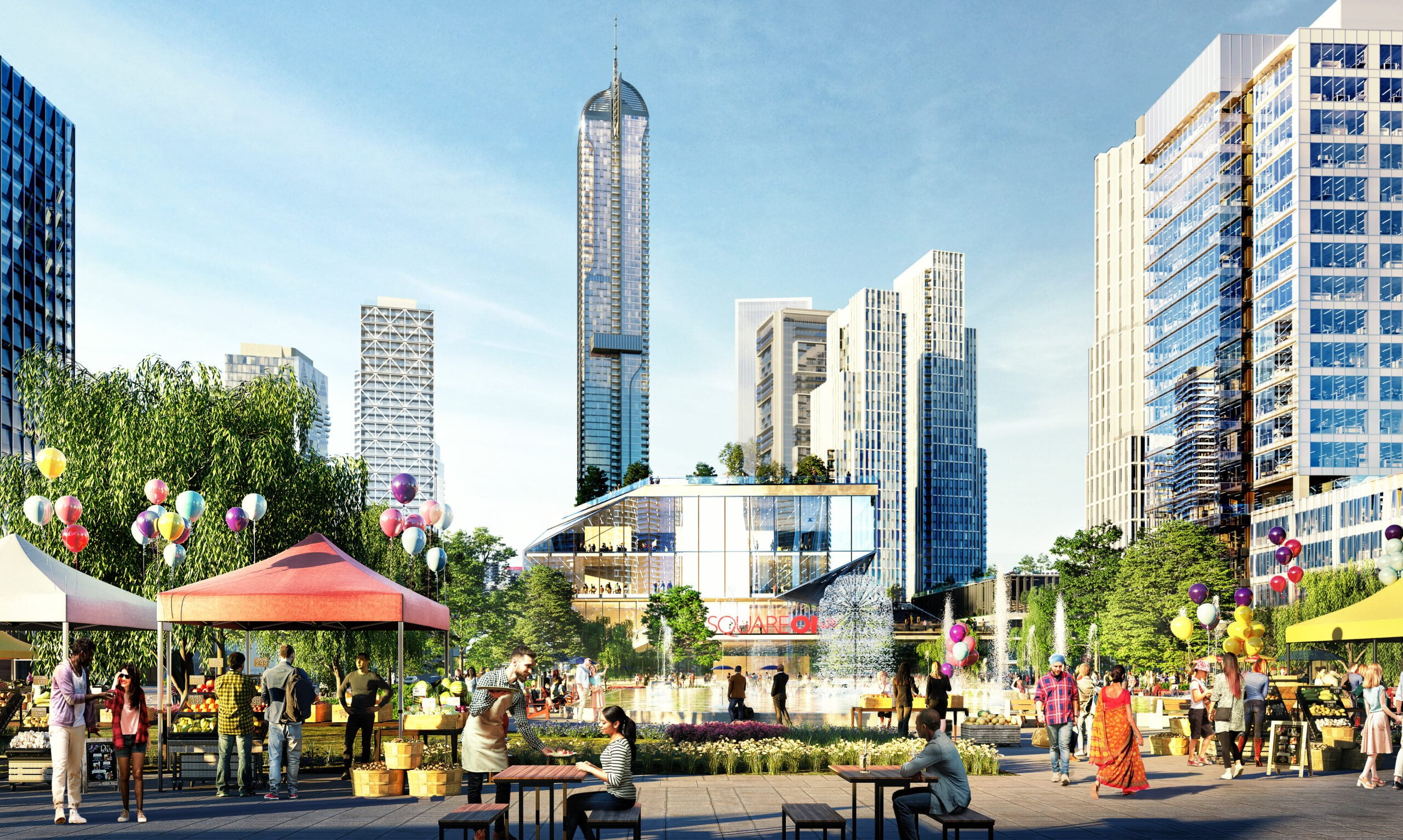
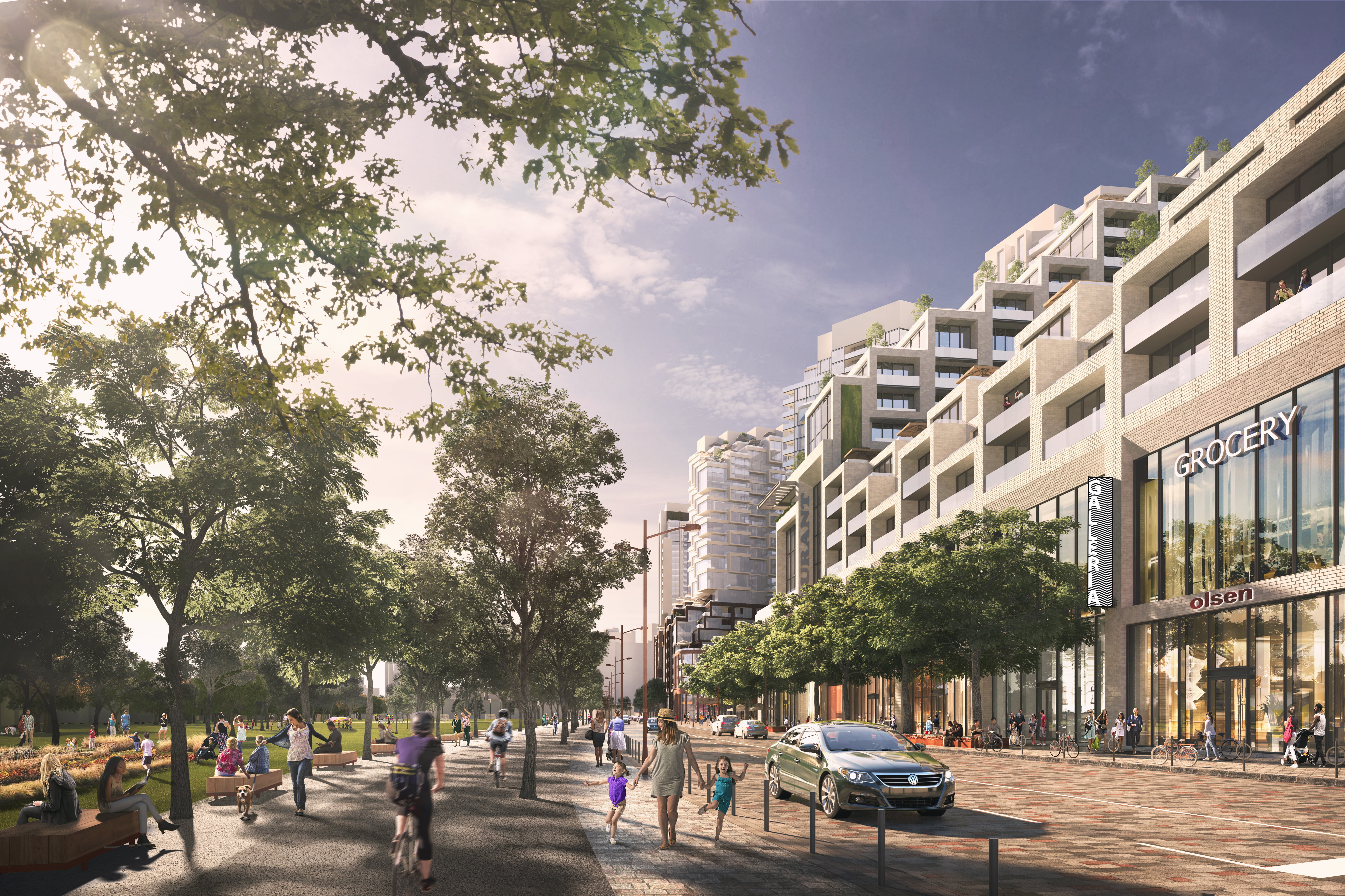
Retail revitalization offers opportunities to build on established destinations while introducing housing, parks and stronger connections. At Square One, our work has helped guide the shopping centre’s evolution into a mixed-use downtown district. At Galleria, master planning and approvals connect new housing and retail with improved parkland and community facilities. At Jane Finch Mall, an extensive engagement process brought community priorities around affordability, local enterprise and gathering spaces into a long-term redevelopment framework. These efforts have won numerous awards. Together, these projects demonstrate how growth can strengthen a place’s existing role in community life.

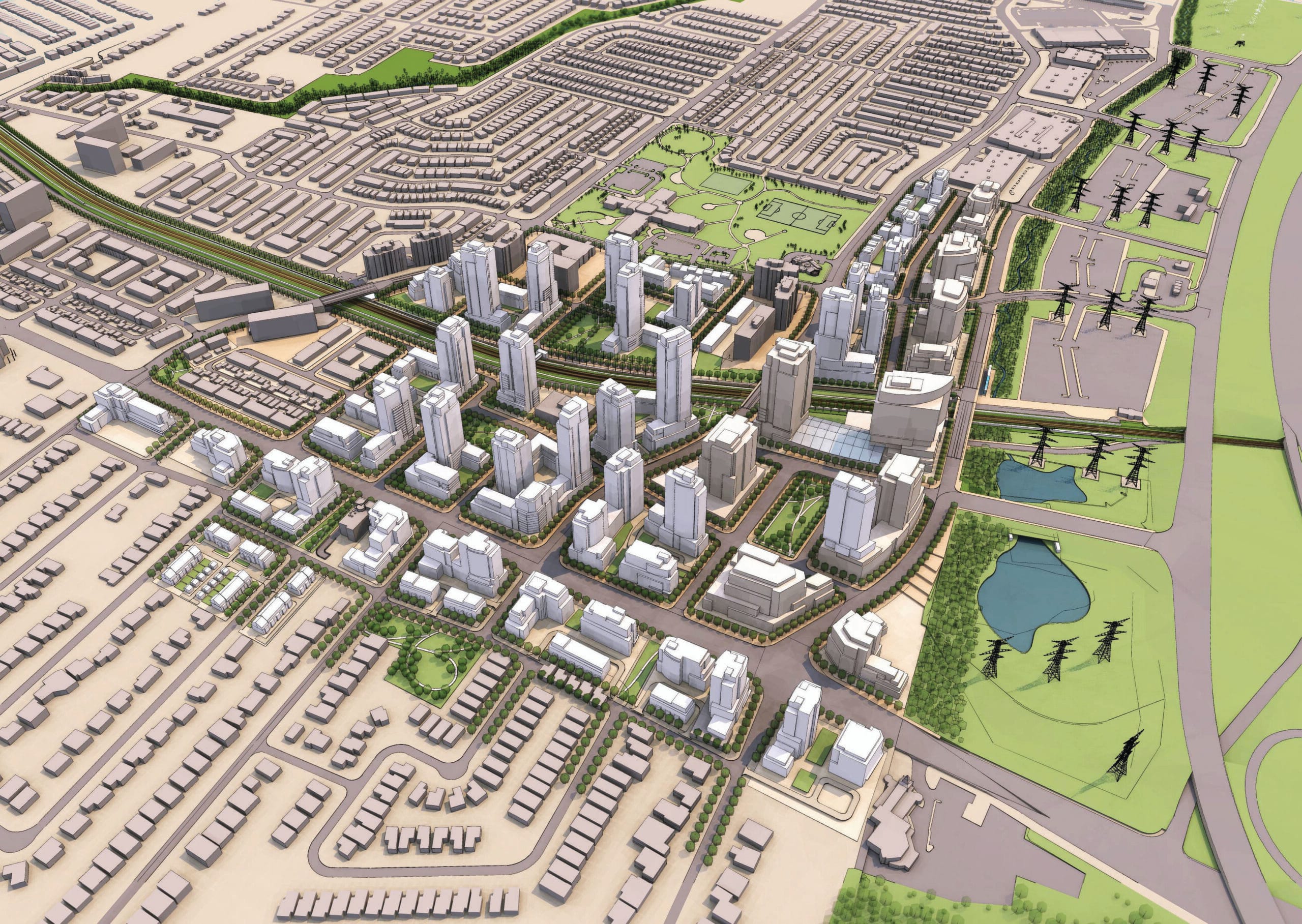
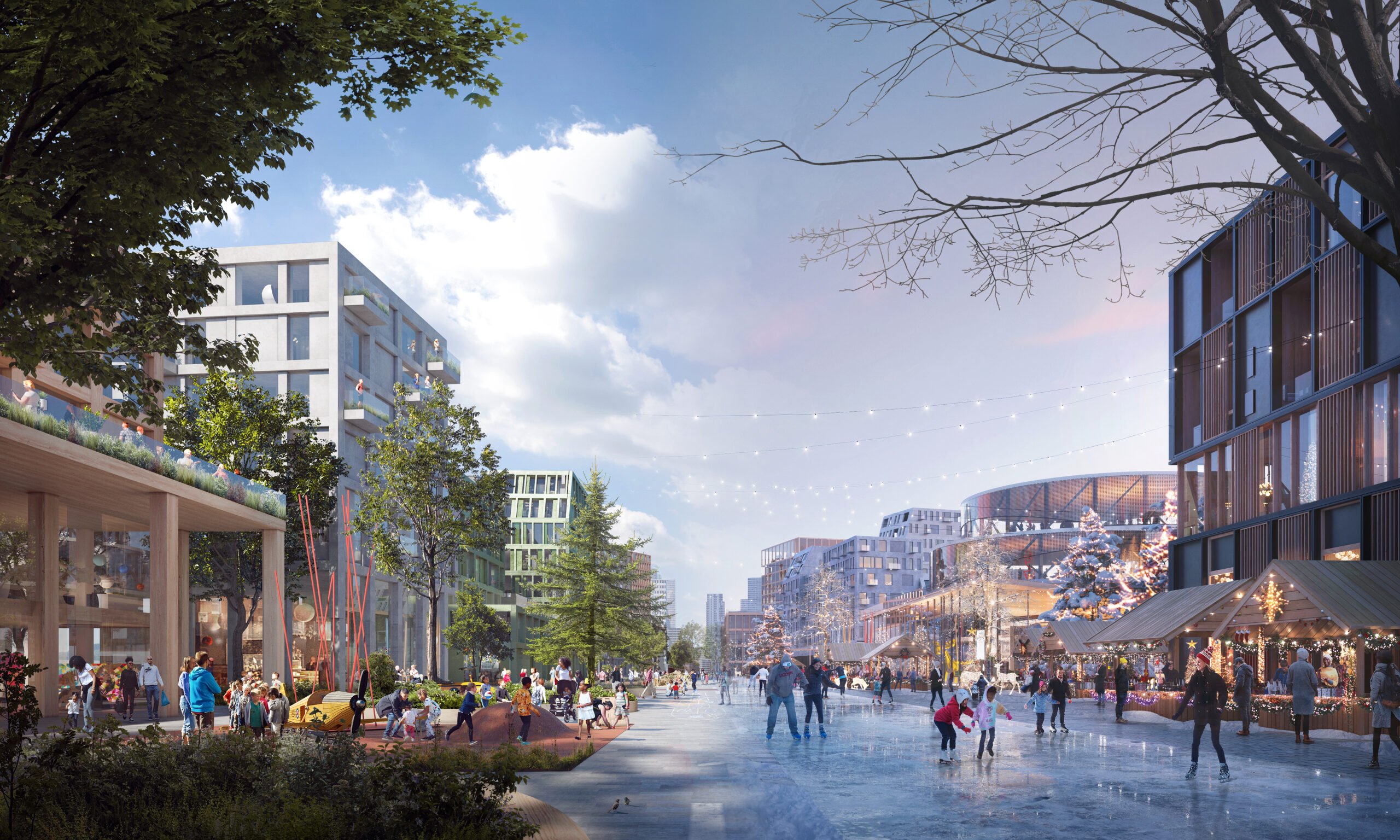
Downsview brings that ambition to an extraordinary scale. More than 520 acres of former airport lands, connected to three transit stations, offer the opportunity to accommodate approximately 83,500 residents and 41,500 jobs, supported by 100 acres of new parks and open spaces. Working with Northcrest Developments, Canada Lands Company and an international consultant team, Urban Strategies has led municipal approvals and contributed planning and design expertise to this complex undertaking. The work coordinates infrastructure, environmental performance and phased development with extensive engagement involving communities and Indigenous rights holders. Its landscape-led framework, including the reimagined runway as a major public space, has earned recognition from the World Architecture Festival, the Royal Architectural Institute of Canada, the Ontario Professional Planners Institute, the City of Toronto and Azure’s AZ Awards.
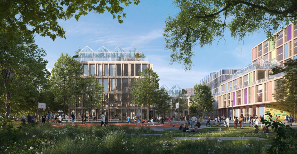
At Woodbine, another major opportunity for Toronto, we are leading planning for new neighbourhoods around an established sporting destination. Housing, employment and community amenities are connected through parks, green corridors and a new GO station. Our role translates the larger vision into the secondary planning, urban design guidance and approvals needed to establish a practical framework for long-term change.
International experience adds further perspectives on creating communities at scale. In Singapore, our long-term plan for Punggol connected waterfront neighbourhoods with employment, education and transportation. At Bidadari, the “Community in a Garden” plan organized housing and amenities around a regional park, preserving wooded landscapes and linking distinct neighbourhoods through greenways and public spaces. From established retail sites to entirely new districts, these projects share an ambition to make substantial growth part of a connected, generous and enduring urban environment.

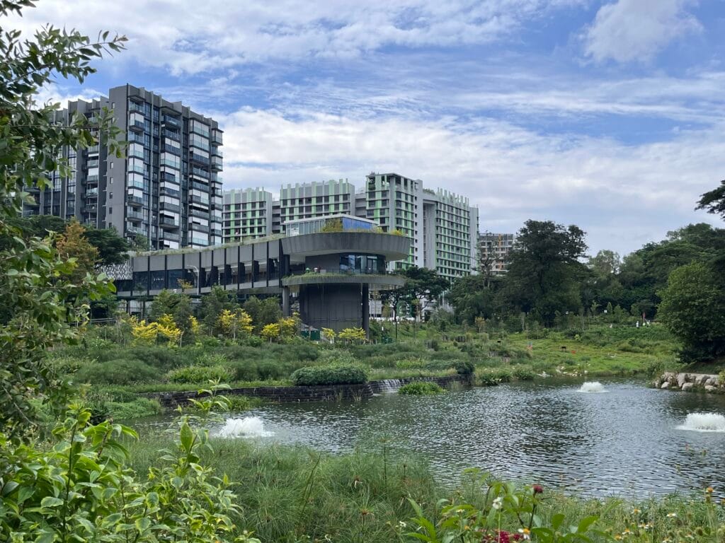
As cities seek to accommodate more people, these experiences offer a foundation for ambitious, thoughtful change. We look forward to helping create neighbourhoods that expand opportunity while strengthening the places and relationships people value.
Institutions: Connecting campuses and communities
Institutions are powerful city builders. Universities and hospitals anchor employment, advance research and innovation, and shape the neighbourhoods around them. Their investments in buildings, housing, infrastructure and public space can strengthen connections and create opportunities well beyond their boundaries. For four decades, Urban Strategies has helped institutions connect their ambitions with this broader urban role, planning for growth that advances their missions while contributing to the life of their cities.
A campus plan can shape an institution for generations. It connects academic or clinical ambitions with the buildings, landscapes and infrastructure needed to realize them, while strengthening the institution’s place in its city. Urban Strategies’ university and healthcare work has made this a rewarding part of the practice for four decades, supporting institutions as they grow, adapt and invest in their communities.
At Princeton, the University’s 2026 Campus Plan brought academic growth, housing, mobility, landscape and sustainability into a framework spanning more than 2,300 acres. Coordinating 19 specialist firms, we connected the historic campus with opportunities for expansion. Cornell’s first comprehensive master plan in more than 75 years similarly balanced academic development with stewardship of its landscapes and research fields, establishing a shared direction for a more compact campus and stronger connections with Ithaca.
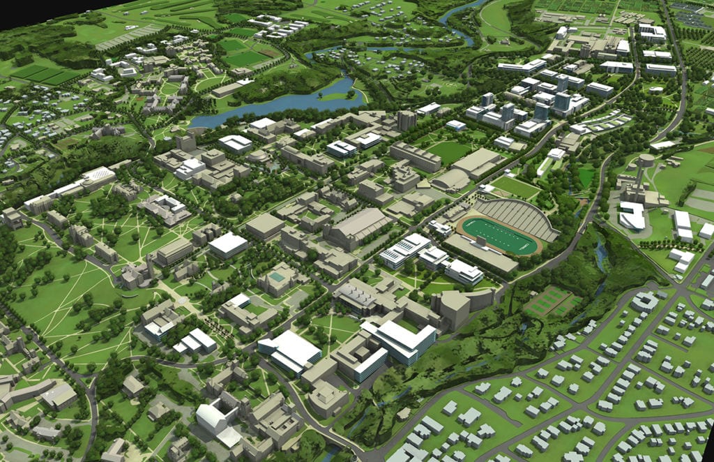
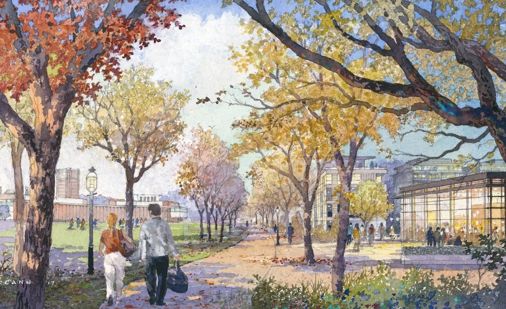
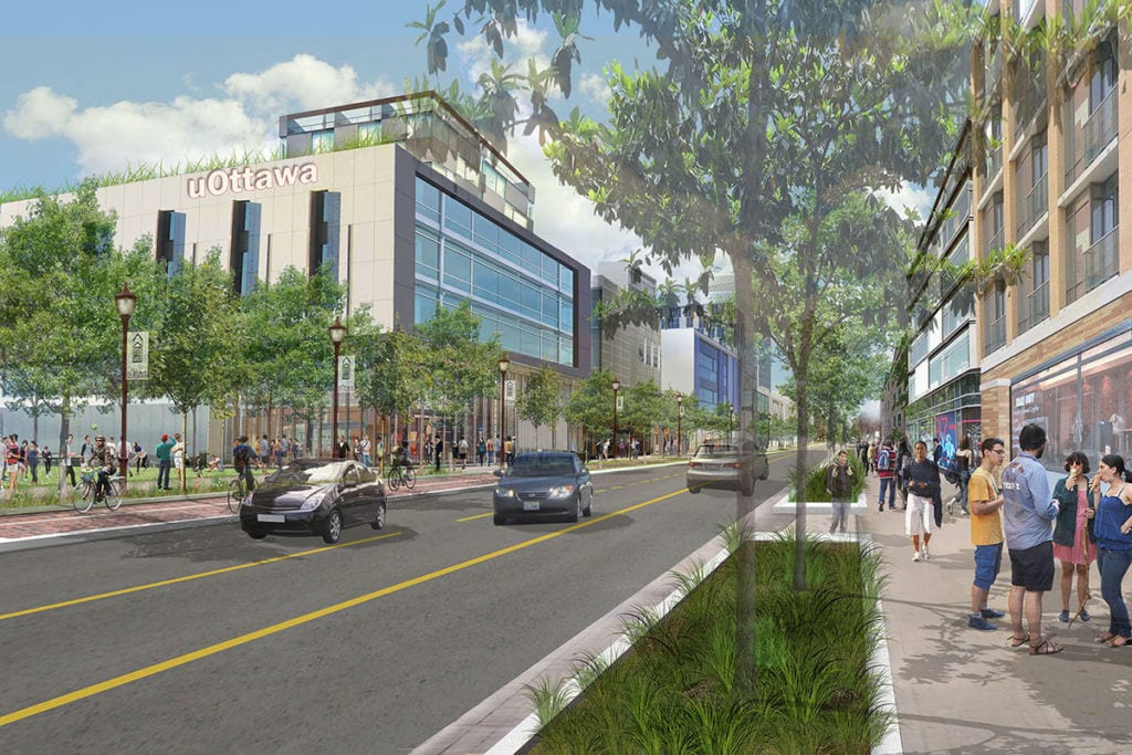
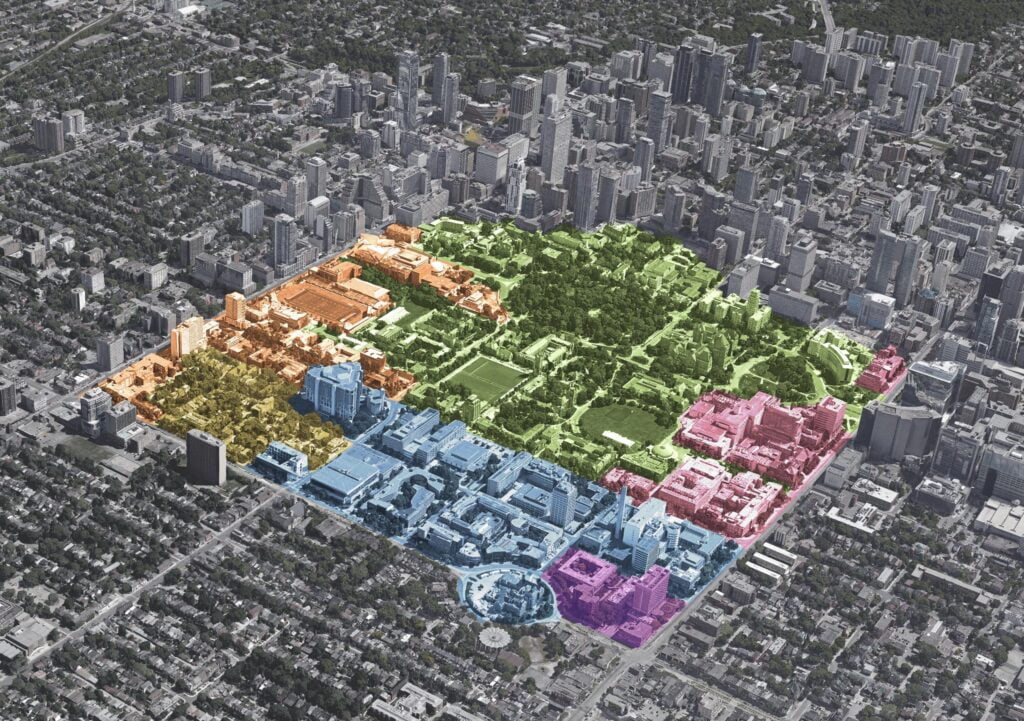
At the University of Toronto, our work connects open space planning, development policy and implementation. The St. George Campus Secondary Plan balances intensification with heritage conservation, while our contribution to the Landscape of Landmark Quality initiative helped reimagine its central spaces. At Scarborough, master planning and secondary planning established a framework for new facilities, landscapes and transit connections. Successive plans at the University of Ottawa have likewise coordinated growth and transportation while strengthening relationships with downtown and Sandy Hill.
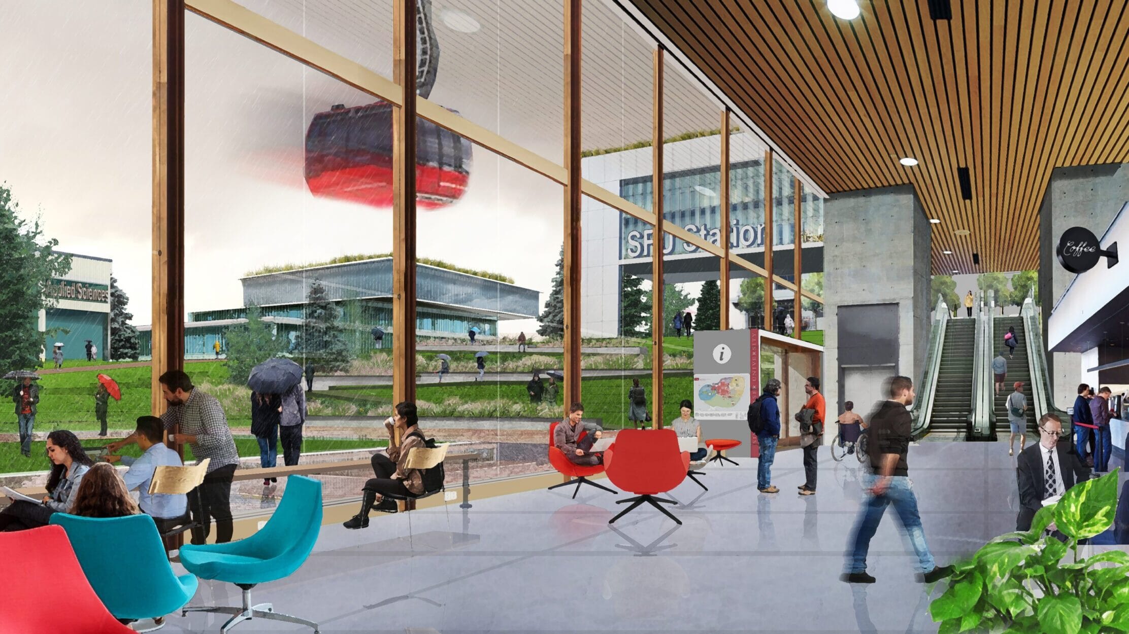
Heritage and setting also inform our Grounds Plan for the University of Virginia, connecting a dispersed campus while respecting the Academical Village. Simon Fraser University’s Burnaby 2065 Campus Master Plan builds on the Erickson/Massey legacy through renewed gathering places, improved mobility and connections to the mountain landscape. In Singapore, Nanyang Technological University’s Campus Vibrancy Master Plan addresses a 200-hectare campus serving approximately 42,000 students and employees. Responding to three new transit stations, it connects gateway districts, pedestrian routes and mixed-use destinations through more than 30 proposed projects and an implementation strategy.


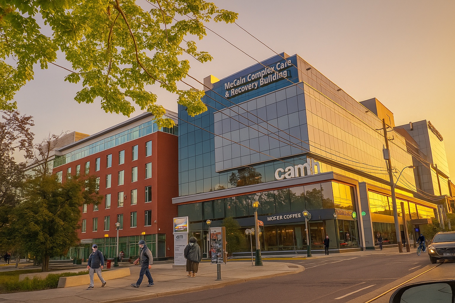
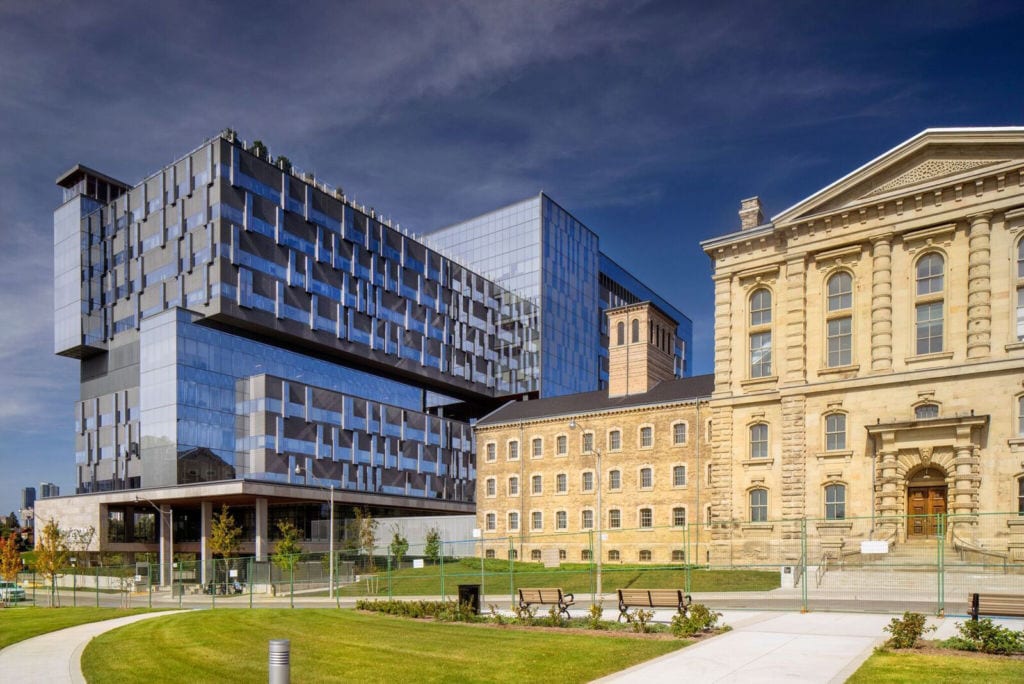
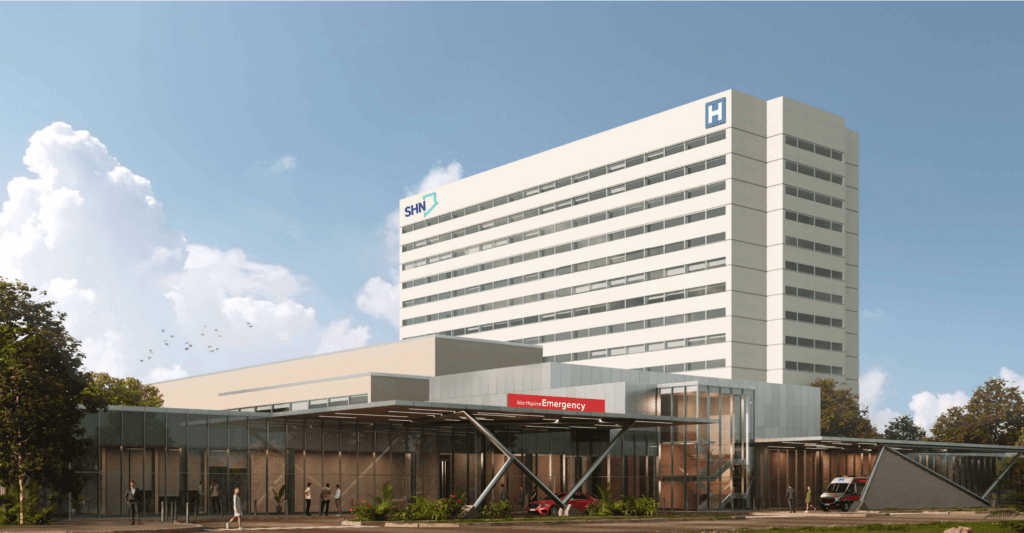
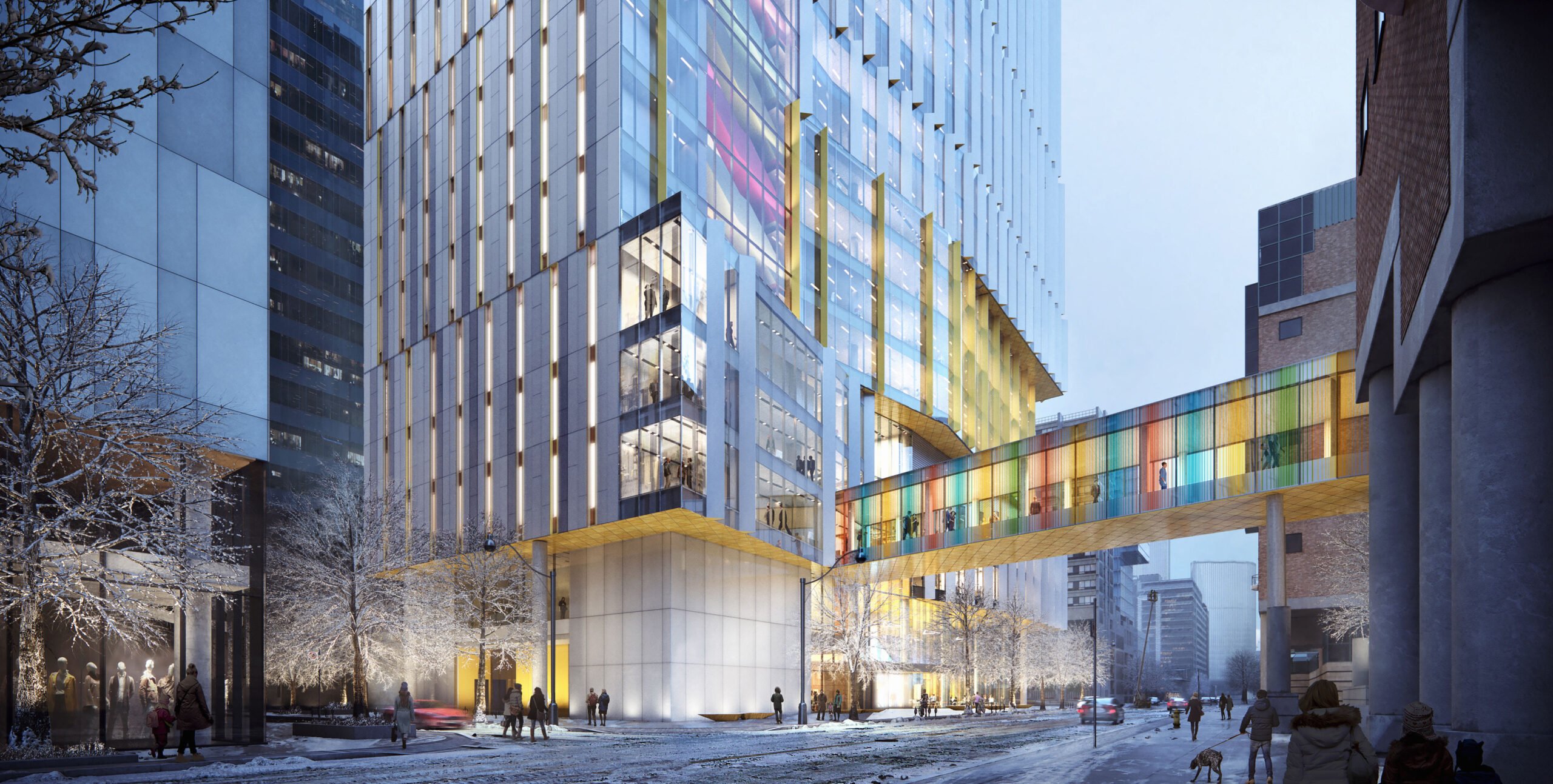
Healthcare assignments bring comparable opportunities alongside the need to maintain care during change. At CAMH, planning helped reconnect an institutional campus with Queen Street West through public streets, green spaces and mixed uses. The urban village approach made the relationship between the hospital and its neighbourhood part of a broader ambition to reduce stigma. Bridgepoint’s “Village of Care” similarly linked hospital renewal with its urban setting. New connections, parks and trails, together with the adaptive reuse of the Don Jail, helped integrate the institution with the surrounding community and create a more welcoming environment. At SickKids, our planning and approvals work for the Patient Support Centre helped enable the wider Project Horizon redevelopment, consolidating education, administration and support services to make room for new clinical facilities. For Scarborough Health Network, we have supported interconnected projects at Centenary and Birchmount hospitals, including emergency department expansion, phased redevelopment and new education and research facilities. This work coordinates municipal approvals with provincial capital planning and the complex sequencing required to expand active hospital campuses. Together, these assignments demonstrate how planning can help hospitals modernize, increase capacity and strengthen their community role while continuing to deliver essential care.
These projects demonstrate the contribution institutions can make beyond their buildings. As universities and hospitals plan their next stages of growth, we look forward to helping them create places that advance their missions and enrich the communities around them.
Land: Planning for long-term stewardship
The future of a place depends on the relationship between its land, its people and the decisions made on their behalf. Planning brings those relationships into focus, connecting long-term priorities with strategies for development and stewardship.
Urban Strategies’ work in Barbados, at Vancouver’s ʔəy̓alməxʷ/Iy̓álmexw/ Jericho Lands and at Tewin in Ottawa offers distinct perspectives on that responsibility. Each requires careful attention to governance, cultural knowledge and environmental systems, with excellence measured through the quality of both the process and the plan.
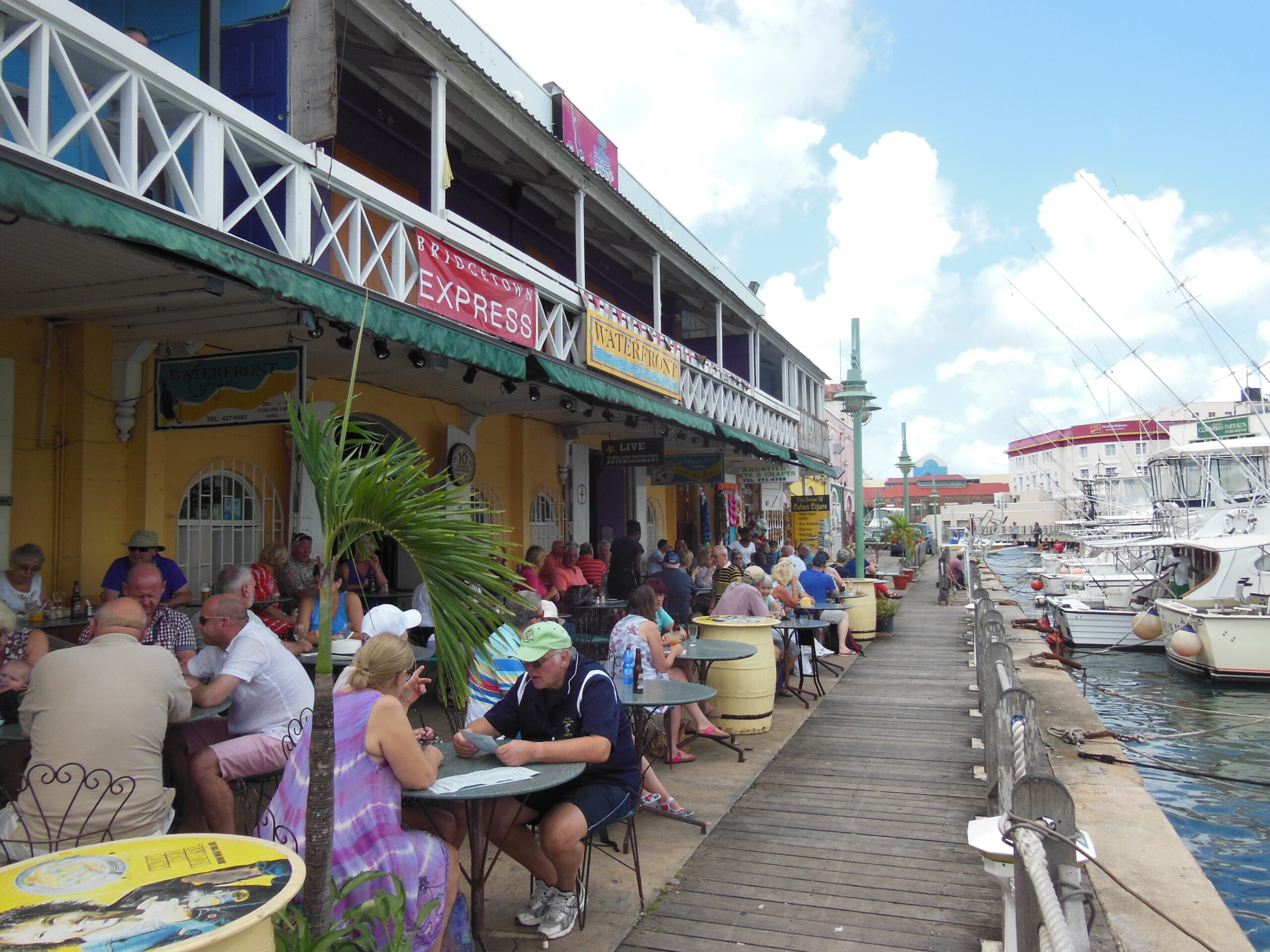
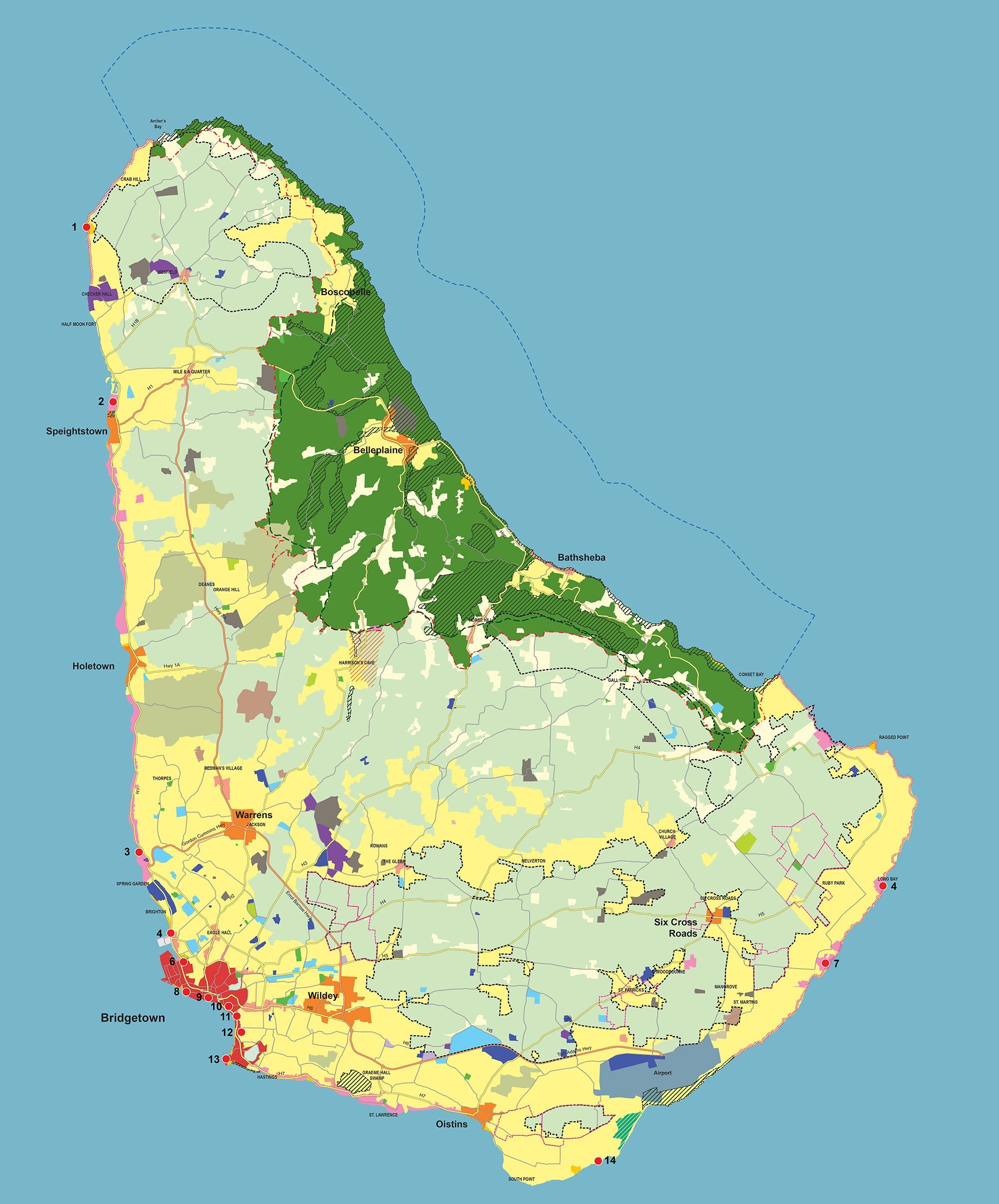
In Barbados, nearly three decades of involvement in the national Physical Development Plan have connected growth, environmental stewardship and investment. Successive updates address climate resilience, agricultural land protection and food security, supported by community plans that translate national objectives into local directions. Work on the National Park system extends this commitment to landscape protection and public access. Recognition from the Canadian Institute of Planners and American Society of Landscape Architects reflects the work’s strategic ambition and environmental care.

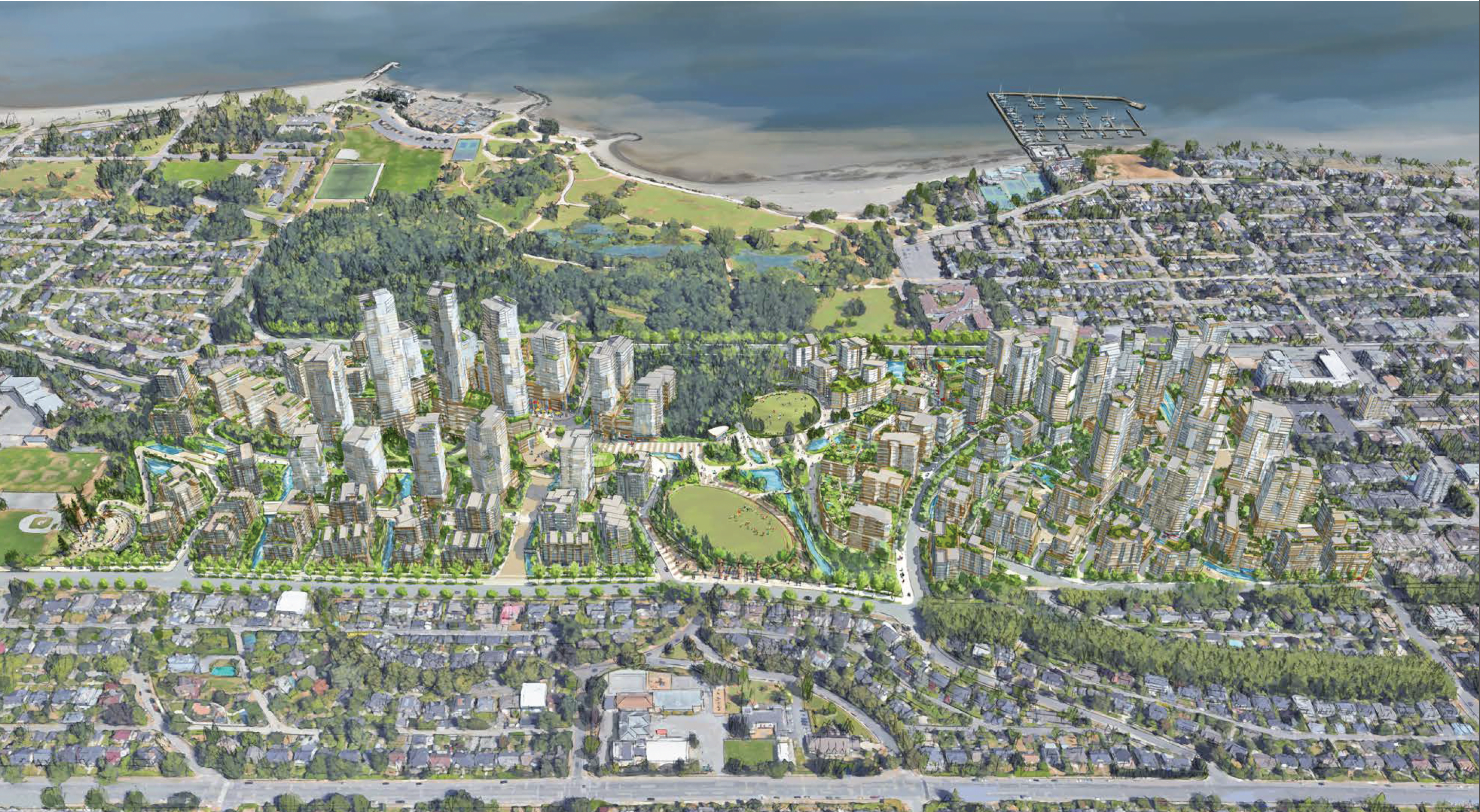
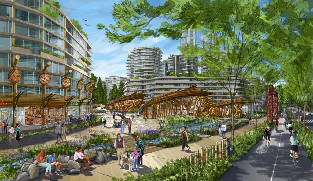
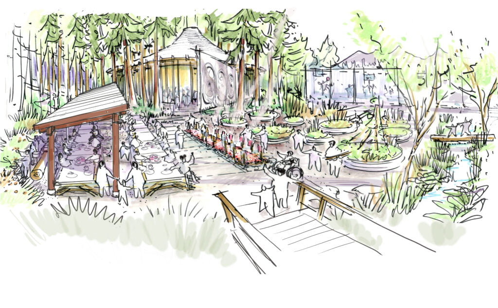
At ʔəy̓alməxʷ/Iy̓álmexw/ Jericho Lands, Indigenous ownership creates an opportunity for the Musqueam, Squamish and Tsleil-Waututh Nations to direct the future of a major urban site. Urban Strategies led the concept for the 90-acre property, working with MST cultural liaisons and Elders to embed Indigenous ways of knowing into the plan. Water systems, landscape and gathering places structure a transit-oriented community planned for approximately 13,000 homes. Council’s endorsement of the Policy Statement in 2024 marked an important milestone, followed by recognition from the Canadian Institute of Planners and American Planning Association.
At Tewin, work with the Algonquins of Ontario and Taggart Group brings Algonquin values into planning a new community in southeast Ottawa for 35,000–45,000 people. Master planning, infrastructure and environmental assessment are coordinated with One Planet Living principles, establishing a strategy for growth rooted in stewardship, sustainability and daily access to community amenities.
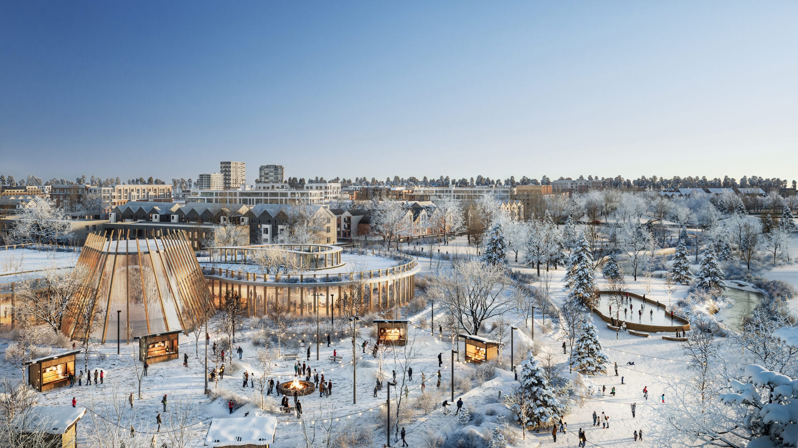
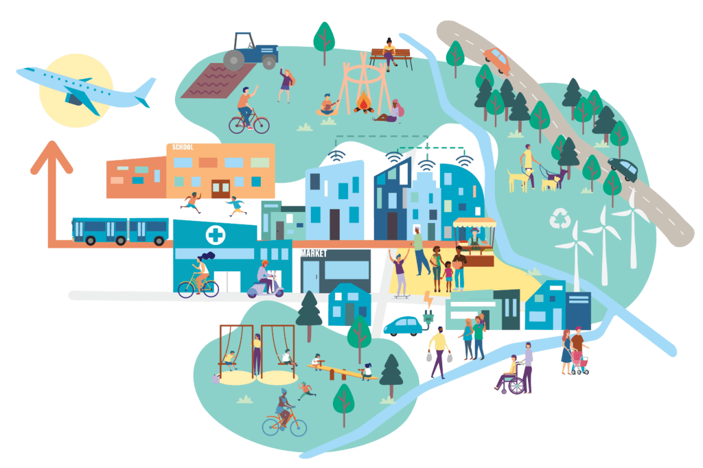

These relationships deepen our understanding of planning’s responsibilities. They demonstrate how design excellence, care for place and a clear implementation strategy can reinforce one another. The work ahead is to carry those commitments into decisions that shape each community over time.